Discovering the Majestic Slattdalsberget: A Peak Above the Rest
Explore Slattdalsberget, a stunning mountain peak in Docksta, Sweden, offering breathtaking views and unforgettable hiking experiences.
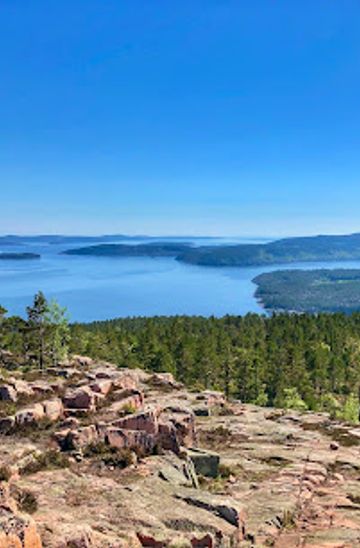
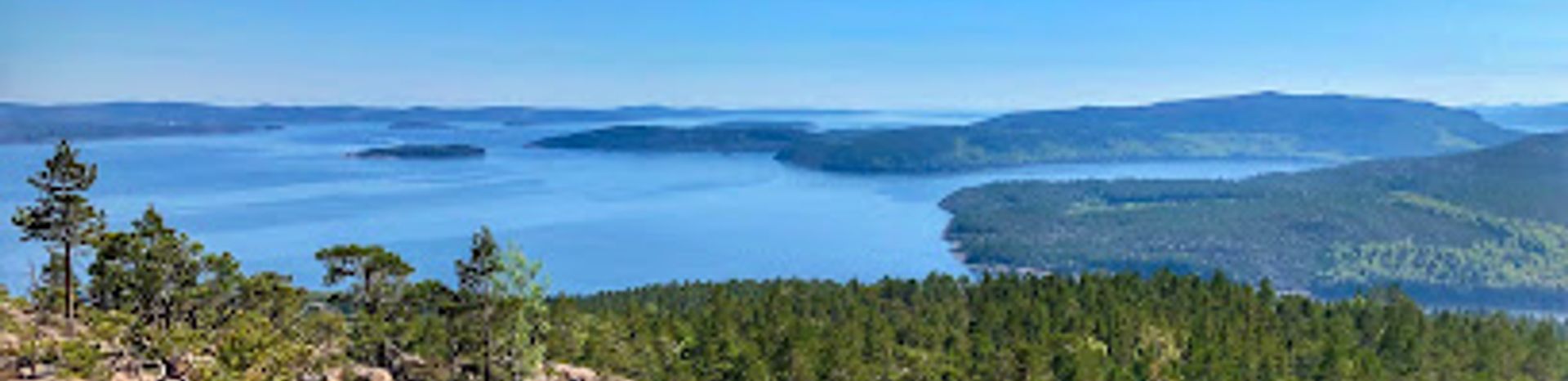
Slattdalsberget, a stunning mountain peak in Docksta, Sweden, offers breathtaking views and a serene escape into nature. Perfect for hikers and nature lovers, this destination showcases the beauty of the Swedish landscape.
A brief summary to Slattdalsberget
- Docksta, SE

Know before you go
Hi, I'm Eve. Here are a few practical things to know before exploring Slattdalsberget.
- Visit early in the morning or late afternoon for the best lighting for photography.
- Bring plenty of water and snacks, as there are no facilities on the trails.
- Wear sturdy hiking shoes to navigate the rocky terrain safely.
- Check the weather forecast before your hike; conditions can change quickly in mountainous areas.
- Take your time on the trails and enjoy the stunning natural surroundings.
Do you manage this location?
Take control to get all the benefits, like improved information, better appearance, and stronger visibility across AI-powered discovery. Learn more
Activate your presence
Getting There
-
Car
If you are traveling by car, head towards Docksta, which is located in Ångermanland. From the center of Docksta, take Route 334 heading north. Follow this road for about 5 km until you reach a sign for Slattdalsberget. Turn right and follow the signs leading to the parking area at Slattdalsberget. The GPS coordinates are approximately 63.1° N, 18.5° E.
-
Public Transportation
For those using public transportation, take a bus from Örnsköldsvik or Härnösand to Docksta. The bus services are operated by Länstrafiken Västernorrland. Upon arriving in Docksta, you may need to take a taxi or arrange a local shuttle service to reach Slattdalsberget, as public transport options may not directly reach the site. Ensure you check the local bus schedule for times and routes before your trip.
-
Walking
If you are already in Docksta and prefer to walk, you can hike from the center of Docksta to Slattdalsberget. This is a scenic route that takes approximately 1.5 to 2 hours on foot, depending on your pace. Follow the road signs towards Slattdalsberget, and enjoy the beautiful surroundings as you make your way to the mountain peak.
Discover more about Slattdalsberget
Explore the best of what Slattdalsberget has to offer













More about Angermanland
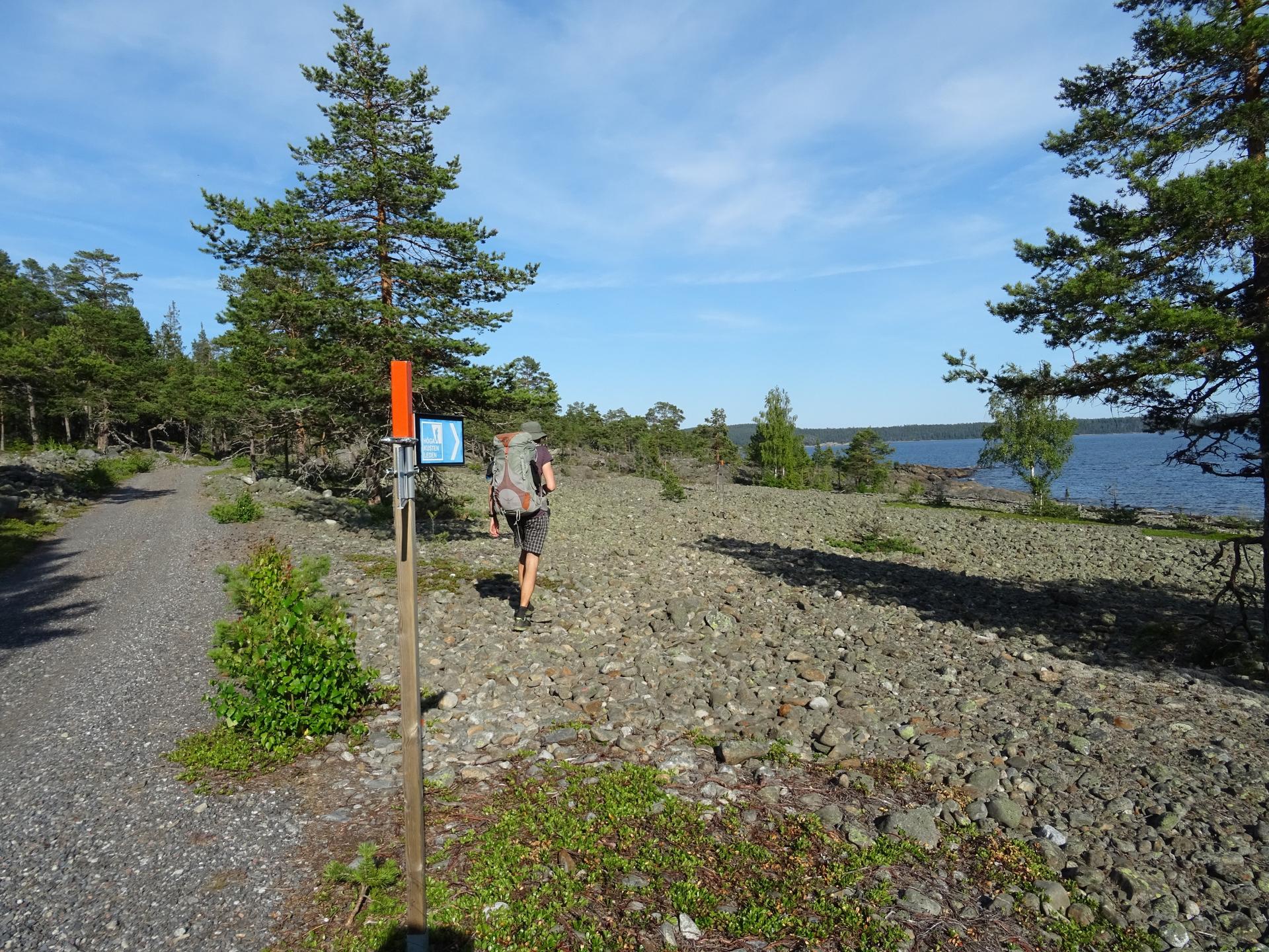
Discover Ångermanland: A blend of stunning natural landscapes, rich cultural heritage, and outdoor adventures in the heart of northern Sweden.
Tell me more about Angermanland
Experience the tranquility of Sandvikens Fiskeläge, a picturesque fishing village on Ulvön island, perfect for nature lovers and seafood enthusiasts.
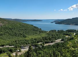
Explore the stunning beauty of Sweden's High Coast at Naturum Höga Kusten, an exceptional visitor center offering insights into nature and culture.