Bruksleden, Västerås Travel Guide
Free Guide: Traverse 250 km of Västmanland's wild heart: forests, bogs, lakes, and iron-age echoes on Sweden's storied Bruksleden trail.


A brief summary of Bruksleden
Traverse 250 km of Västmanland's wild heart: forests, bogs, lakes, and iron-age echoes on Sweden's storied Bruksleden trail.
Bruksleden is Västmanland's longest hiking trail, stretching 250 kilometers from Västerås on Lake Mälaren's shores northward through seven municipalities to Avesta. Divided into 27 stages, it winds through deep forests, vast marshes, blooming meadows, and historic industrial sites in Bergslagen's varied landscapes. Marked with orange blazes on trees and stones, the trail offers accessible day hikes or multi-day adventures, passing lakes for fishing and spots for wild camping. Starting near Erikslund in Västerås, it transitions from urban edges to wild nature, perfect for immersing in Sweden's outdoor heritage.
On-site amenities
 Drinking water
 Seating areas
 Trash bins
 Information boards
 Picnic areas
- Address
- Erikslund V, 721 38 Västerås
Getting there
Bus
Train
Car
Walking
Discover more about Bruksleden
Trail's Vast Reach Across Västmanland
Bruksleden spans 250 kilometers, Västmanland's premier long-distance path, linking Västerås in the south with Avesta in the north via Hallstahammar, Surahammar, Skinnskatteberg, Fagersta, and Norberg. This western arc through Bergslagen showcases a mosaic of terrains: from Mälardalen's open plains to dense woodlands and undulating hills. Divided into 27 manageable etapper, most 10-15 kilometers long, it suits varied paces, with frequent towns for resupply.
From Urban Fringe to Wild Bergslagen
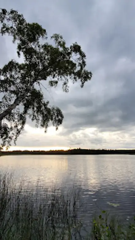
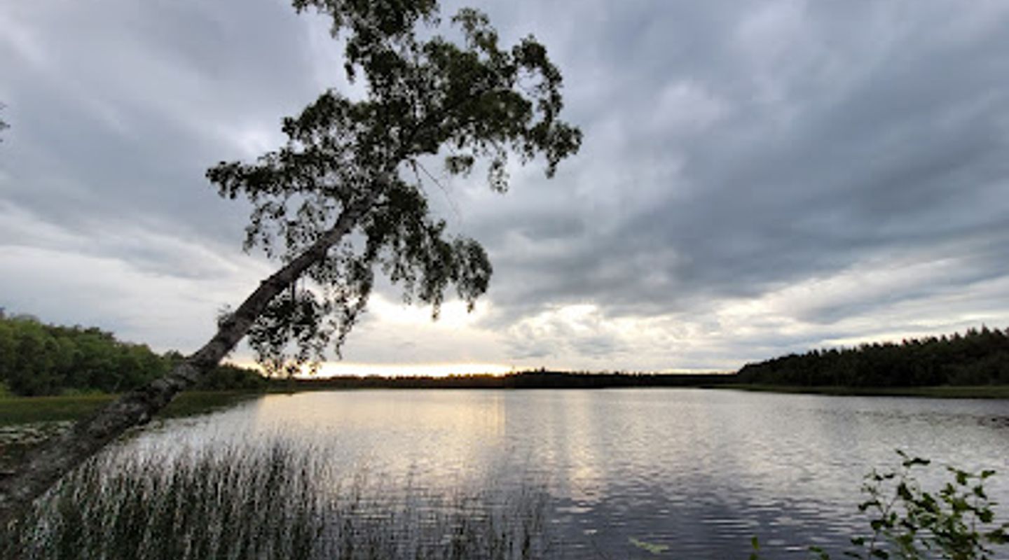
The trail launches at Rocklunda on Västerås's northwestern outskirts, near Erikslund, blending city proximity with immediate nature immersion. Etapp 1a climbs from sports fields into pine-scented forests, crossing mossy bogs and granite outcrops. Further north, landscapes intensify: ödsliga myrar stretch endlessly, interrupted by shimmering lakes like Stora and Lilla Abborrtjärn, where fish leap in clear waters. Orange markers guide reliably at junctions, with signs noting distances to shelters or villages.
Industrial Echoes in the Forests
Bruksleden traces Sweden's ironworking past, skirting abandoned bruks—old forges and mines that fueled Europe's industry. In Klackberg, remnants of charcoal kilns and slag heaps evoke 19th-century toil amid now-quiet woods. Hikers pass Husmossen and Skålbystugan, rustic huts offering fire pits and historical plaques. These sites blend human endeavor with nature's reclaim, where rusting machinery yields to blueberry carpets in summer.
Seasonal Rhythms and Natural Wonders
Spring brings blooming ängsmarker, alive with orchids and butterflies, while autumn paints foliage in fiery hues. Summer days hum with bird calls—woodpeckers drumming, cranes overhead—contrasting winter's snow-shrouded silence for cross-country skis. Lakes invite swims or fishing, with permits simple for locals' catches. Wind shelters dot the route, like those at Örtjärnen, enabling allemansrätten: everyman's right to roam, camp responsibly, and savor solitude.
Accessible Adventures for All Levels
Short loops abound, such as Rocklunda to Erikslund (10 km) or Västerås-Skultuna (20 km), ideal for weekends. Multi-day treks like the 60-km triangle Västerås-Hallstahammar-Surahammar challenge moderately. Families appreciate gentle grades and kid-friendly stages; seasoned trekkers tackle bog boards or hill scrambles. Bruksleden's 50-year legacy, marked in 2025, underscores its role in fostering vandringsglädje—hiking joy—across generations.
Evendo Review Centre
 Google
Guest reviews
Best time to go
Quietest: Jan, Feb & Dec · before 7am or from 8pm
Busy times are Evendo estimates for a typical year, to help you plan. Actual crowds vary with events, school holidays and the weather.
Explore Bruksleden on the map
A handpicked selection of must-see spots near Bruksleden, mapped for you.
Get your free copy of our complete guide to Bruksleden, delivered straight to you.
Everything on this page, from opening hours and how to get there to Eve’s tips and the best time to go, in one PDF you can read offline, print or share.
Already have an account? Sign in
Your Bruksleden guide is ready.
We'll send it to · Not you? Sign out

Getting your guide ready…
We are putting together a fresh copy of the Bruksleden guide. This can take up to a minute.
This can take a few moments. If your browser asks, choose Allow so the download can start. You'll find the guide in your Downloads folder.
Nothing happened? Download it again
Sorry, the guide is taking longer than usual. Please try again in a minute, or get it by email instead.
Other nearby places you may find interesting
The closest places of the same kind, if this one is not quite what you had in mind.
-
-
-
-
-


Swipe for more places
More to explore near Bruksleden

 Best experiences near Bruksleden
 Best hotels near Bruksleden
 Best landmarks near Bruksleden
 Best attractions near Bruksleden
 Best shops near Bruksleden
 Best restaurants near Bruksleden
 Best bars near Bruksleden
Do you manage this location?
Take control to get all the benefits, like improved information, better appearance, and stronger visibility across AI-powered discovery.
Explore more

Explore more of Västerås
Discover Västerås, a captivating blend of history, nature, and modernity by the scenic Lake Mälaren, offering a rich tapestry of experiences for every traveler.
Explore Västerås
Explore more of Sweden
Discover Sweden's breathtaking landscapes, vibrant cities, and rich cultural heritage. From the Northern Lights to historic castles, experience the essence of Scandinavia.
Explore Sweden