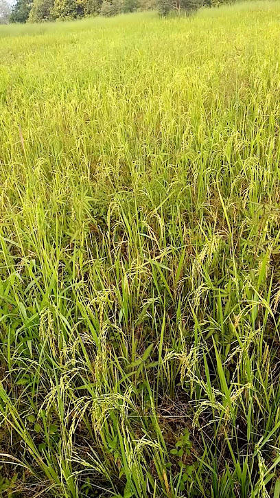
Explore the Untamed Beauty of Kuinla
Discover the breathtaking trails and vibrant ecosystems of Kuinla, an ideal hiking area in Bureng for nature enthusiasts and adventure seekers.
Nestled in the heart of Bureng, Kuinla is a breathtaking hiking area that promises adventure and natural beauty for tourists. Ideal for outdoor enthusiasts, it offers stunning landscapes and diverse flora and fauna, making it a perfect escape for those seeking to immerse themselves in nature.
A brief summary to كوينلا
- CMVQ+7WH, Bureng, GM
Local tips
- Wear sturdy hiking boots to navigate the terrain comfortably.
- Bring plenty of water and snacks to stay energized during your hike.
- Visit during early morning or late afternoon to enjoy cooler temperatures and stunning sunrises or sunsets.
- Consider hiring a local guide to enhance your hiking experience and learn more about the area's flora and fauna.
Getting There
-
Car
From Tendaba Camp, head east on the main road towards the village of Bureng. Continue on this road for approximately 10 kilometers until you reach the village. Look for signs indicating 'Bureng' as you approach. Once in Bureng, navigate towards the coordinates CMVQ+7WH, which will be on your right side as you enter the village. There is no entrance fee for accessing كوينلا, but ensure your vehicle is in good shape for the dirt roads leading into the hiking area.
-
Public Transportation
To reach كوينلا from Tendaba Camp using public transport, you will need to take a shared taxi (also known as a 'bush taxi') towards the village of Bureng. These taxis can often be found at designated taxi ranks near the camp. The fare is typically around 50 Dalasi per person. Inform the driver that you are heading to Bureng, and they will drop you off near the village center. From there, you can walk for about 1 kilometer following local signs or asking for directions towards the coordinates CMVQ+7WH, which is the location of كوينلا.
-
Walking
If you prefer to walk from Tendaba Camp to كوينلا, it is advisable to start early in the morning due to the heat. The distance is approximately 10 kilometers. Follow the main road towards Bureng and keep an eye out for local landmarks to guide you. It might take around 2-3 hours to reach your destination on foot, so bring enough water and wear comfortable shoes. Once in Bureng, head towards CMVQ+7WH, asking locals for any assistance if needed.
Discover more about كوينلا
Iconic landmarks you can’t miss
The Gambia west africa/ Brikama Town
0.0 km
Explore the peaceful Jain Temple in Brikama Town, The Gambia, a serene escape showcasing the rich cultural tapestry of West Africa.

Gambia
0.0 km
Explore Gambia, a coastal gem with rich culture, stunning beaches, and diverse wildlife, perfect for adventure and relaxation seekers.

Missira Border Post
24.7 km
Discover the vibrant cultural crossroads at the Missira Border Post, where The Gambia meets Senegal, offering unique experiences for adventurous travelers.
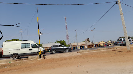
SOMA PROPER LOWER BASIC SCHOOL
25.0 km
Discover the heart of education in Soma at the Soma Proper Lower Basic School, where local culture and community come together to nurture young minds.

Farafenni market
34.0 km
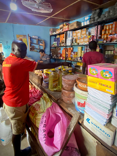
Discover the heart of Gambian culture at Farafenni Market, a vibrant marketplace filled with local produce, crafts, and delicious street food.
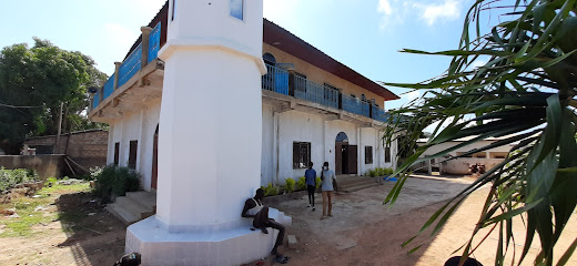
Farafenni Mosque
34.2 km
Explore the serene ambiance and architectural beauty of Farafenni Mosque, a cultural gem in The Gambia that reflects local traditions and community spirit.
Jagne Kunda
34.9 km
Experience the vibrant culture and community spirit at Jagne Kunda, a unique housing complex in Farafenni, Gambia.

Reforest The Future Gambia
35.0 km
Discover the beauty of sustainability at Reforest The Future in Njau, where reforestation efforts meet eco-tourism in a stunning natural setting.
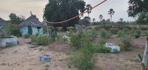
Massembeh Peace Corps Training Center
36.0 km
Explore the heart of The Gambia at Massembeh Peace Corps Training Center, where education meets cultural exchange in a vibrant community setting.
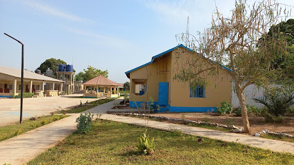
"FANTANKO" PROJECT (A Stop to The Sexual Exploitation of School Going Children.)
36.5 km
Explore the Fantanko Project in Niamini, a vital initiative dedicated to combating child exploitation through research and community empowerment.

Baboon Island
43.1 km
Experience the enchanting beauty of Baboon Island, a wildlife haven in The Gambia, with its playful baboons and serene nature.
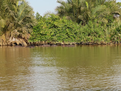
My Gambia
48.7 km
Explore the beauty of Gambia with My Gambia, your dedicated travel agency for personalized adventures and unforgettable experiences.
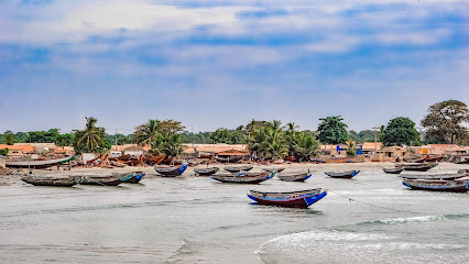
Unmissable attractions to see
Bansan
0.0 km
Explore the natural beauty and tranquility of Bansan, a captivating tourist attraction in Bureng, Gambia, perfect for relaxation and cultural immersion.

Fort James Island
0.0 km
Explore the captivating beauty and rich history of Fort James Island, a must-visit tourist attraction in The Gambia.

Boussou mbalo 1
0.0 km
Experience the rich cultural heritage and picturesque landscapes at Boussou Mbalo 1, a must-visit tourist attraction in Bureng, The Gambia.

كوينلا
0.0 km
Discover the breathtaking trails and vibrant ecosystems of Kuinla, an ideal hiking area in Bureng for nature enthusiasts and adventure seekers.

Oasis and Trails
0.0 km
Experience the beauty and tranquility of nature at Oasis and Trails, a stunning preserve in Sanyang, The Gambia, perfect for eco-adventures and relaxation.
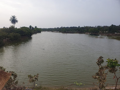
Botanical Garden Kerr Sering
0.0 km
Discover the enchanting beauty of the Botanical Garden Kerr Sering in The Gambia, a tranquil escape filled with vibrant flora and diverse wildlife.
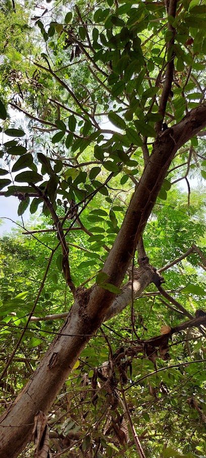
Katakorr
0.0 km
Explore the serene beauty of Katakorr Park in Bureng, Gambia, where nature meets community for a perfect getaway.
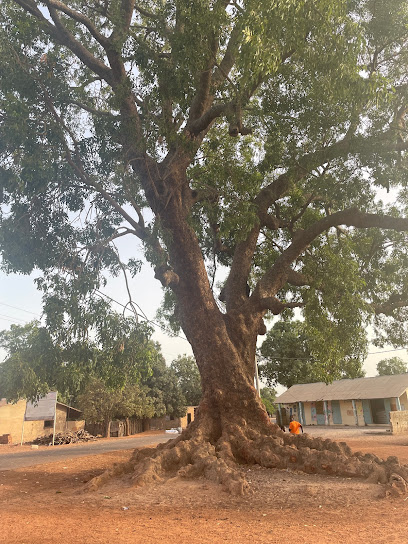
Jabang
0.0 km
Experience the beauty of Jabang, a breathtaking hiking area in Bureng, where nature and adventure await at every turn.

Farola 1 ASPERPOL
15.2 km
Explore the beauty and tranquility of Farola 1 ASPERPOL Park in Sukuta, a perfect retreat for nature lovers and families alike.

Dankunku Island
15.3 km
Explore the natural wonders and serene beauty of Dankunku Island, a hidden gem off The Gambia's coast, perfect for relaxation and adventure.

Upper Baddibu Mosque
16.4 km
Explore the architectural beauty and spiritual essence of Upper Baddibu Mosque in Kani, Gambia, a serene haven reflecting rich cultural heritage.

Jamara Forest Park
16.8 km
Experience the tranquility of Jamara Forest Park, a serene state park in Madina Wolom, perfect for nature lovers and outdoor adventures.

Belel Forest Park
27.0 km
Discover the enchanting landscapes and wildlife of Belel Forest Park, a serene escape in Darusalam, The Gambia, perfect for nature lovers and outdoor enthusiasts.

Yello, tenda Community Primates project
29.0 km
Explore the Yello, Tenda Community Primates Project in Yelitenda for an unforgettable wildlife experience in The Gambia, promoting conservation and education.

Carrol’s Wharf
30.9 km
Discover the tranquility of Carrol's Wharf in Charmen, where nature meets picturesque waterfront views for a perfect day of relaxation.
Essential places to dine
Chicken rek
0.0 km
Discover delicious local cuisine at Chicken Rek in Bureng, where traditional flavors meet vibrant ambiance for an unforgettable dining experience.
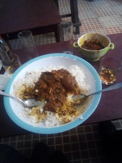
Soma
0.0 km
Discover authentic Gambian flavors at Soma in Bureng, where tradition meets innovation in every dish.

charan
0.0 km
Experience authentic American cuisine in Bureng with hearty dishes and warm hospitality that delights every palate.

Noyon
0.0 km
Savor authentic Gambian cuisine at Noyon, where rich flavors meet warm hospitality in the heart of Bureng.

TAO THAI RESTAURANT
0.0 km
Experience authentic Thai cuisine at TAO Thai Restaurant in Bureng, where every dish is crafted with care and tradition.

Abdoulie
0.0 km
Discover delicious American cuisine at Abdoulie in Bureng, where traditional flavors meet local hospitality for an unforgettable dining experience.

Poco Loco Beach Bar & Restaurant
0.3 km
Discover culinary delights and breathtaking ocean views at Poco Loco Beach Bar & Restaurant in Bureng.
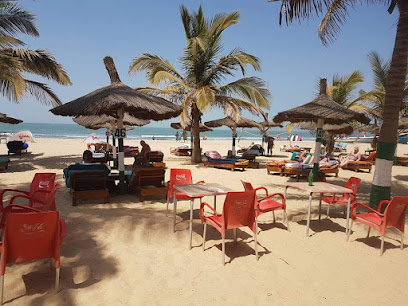
Dakar Destination Soma
24.2 km
Experience the authentic taste of Gambian cuisine at Soma in Dakar - where tradition meets innovation.
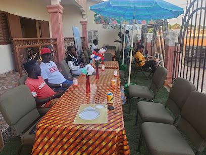
Master Chef Restaurant
24.3 km
Discover authentic Gambian flavors at Master Chef Restaurant in Soma - where culinary excellence meets cultural richness.
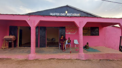
Nema fast food restaurant
24.3 km
Discover authentic Gambian flavors at Nema Fast Food Restaurant in Soma – where delicious meets convenient dining.
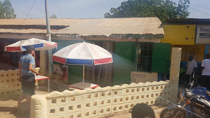
Raamdaan Restaurant and Catering Services
24.4 km
Experience authentic Gambian cuisine at Raamdaan Restaurant - where flavors come alive along the Trans-Gambia Highway.
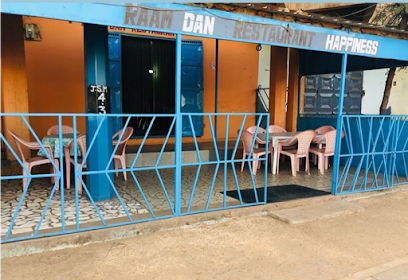
Domoridima Restaurant
24.4 km
Discover the vibrant flavors of fast food at Domoridima Restaurant in Soma, where quick bites meet delightful tastes.
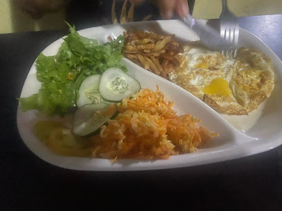
Bantaba Restaurant
24.4 km
Experience authentic Gambian flavors at Bantaba Restaurant in Soma - your go-to fast-food destination for delicious local cuisine.
Markets, malls and hidden boutiques
Latrikunda Sabiji
0.0 km
Experience the vibrant culture and diverse shopping options at Latrikunda Sabiji, a must-visit shopping mall in Bureng, Gambia.

Abubacrr tamba
0.0 km
Discover the sweet side of Bureng at Abubacrr Tamba, where delightful pastries and local flavors come together in a charming bakery experience.

Ibotaon
0.0 km
Explore the essence of Gambian fashion at Ibotaon, a clothing store offering unique styles and local craftsmanship in Bureng.

Abusey junction
0.0 km
Explore the vibrant cosmetics selection at Abusey Junction in Bureng, Gambia – a must-visit for beauty lovers and casual shoppers.

Costa road
0.0 km
Explore the vibrant flavors and local culture at Costa Road Grocery Store in Bureng, Gambia, a must-visit for every traveler.
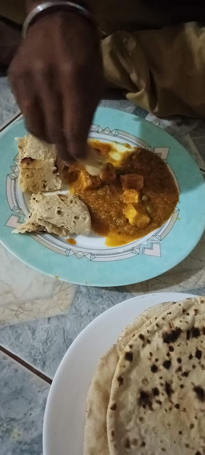
Sunbeach
0.0 km
Discover the vibrant flavors of Bureng at Sunbeach, a charming grocery store offering fresh produce and local delicacies.

Buy hijab clothes from dubai sell
0.0 km
Explore stylish hijab clothing options at Gander's premier youth clothing store, blending tradition and modernity effortlessly.

Wazni Shop
0.0 km
Explore Wazni Shop for unique furniture accessories that reflect The Gambia's rich cultural heritage and craftsmanship.

B.Jallow's shop
0.0 km
Explore the charm of B.Jallow's Shop in Bureng, where unique Gambian crafts and local artistry come together in a delightful boutique experience.

Yana's Gift shop
0.0 km
Explore Yana's Gift Shop in Bureng for unique Gambian crafts and souvenirs that celebrate local culture and artistry.

Alpha bah
0.0 km
Explore the literary charm of Alpha Bah, a book store in Bureng offering a diverse selection of titles and a welcoming atmosphere for all book lovers.

Mariama sagna
0.0 km
Explore an enchanting book store in Bureng, Mariama Sagna, where literature and community come together in a cozy setting.

taminal
0.0 km
Explore Bureng's fashion at Taminal, a clothing store offering unique local apparel and a glimpse into the region's vibrant culture.

The Apple Store Gambia
0.0 km
Experience cutting-edge technology and exceptional service at The Apple Store in Gambia, your go-to destination for all things Apple.
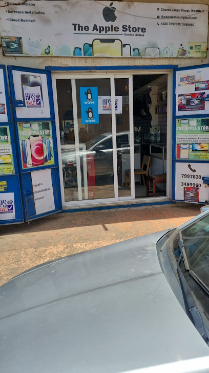
LRR Soma
0.0 km
Explore LRR Soma in Bureng for a unique shopping experience featuring the latest in women's fashion and accessories.

Essential bars & hidden hideouts
INBASIFA beach
0.0 km
Experience the serene beauty and vibrant culture at INBASIFA Beach, South Gambia's idyllic escape for relaxation and fun.

Joanna's chill out bar
0.0 km
Discover the perfect family-friendly escape at Joanna's Chill Out Bar in Bureng, where relaxation meets delicious dining in a welcoming atmosphere.
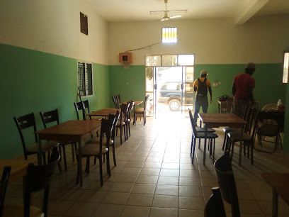
Westpill
0.0 km
Discover the vibrant bar scene at Westpill in Bureng, where refreshing drinks and local culture come together for an unforgettable night out.

Abdulia Dumbuya
0.0 km
Discover the local charm and vibrant atmosphere at Abdulia Dumbuya, a must-visit bar in Bureng for an authentic cultural experience.

Melia
0.0 km
Discover the vibrant nightlife at Melia, Bureng's premier bar offering a delightful array of drinks and local entertainment.

Oussama Jallow
0.0 km
Discover the vibrant jazz culture at Oussama Jallow, where soulful performances and a warm atmosphere await every music lover.
Nightclubs & after hour spots
Tendaba camp
54.0 km
Experience the enchanting Tendaba Camp in The Gambia, where nature meets comfort, and adventure awaits at every turn.

Road Side Pubcamp
60.4 km
Experience the vibrant atmosphere and local flavor at Road Side Pubcamp, where drinks and camaraderie come together in Janjanbureh.
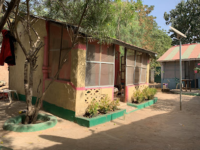
Sensending Hotel
60.7 km
Discover comfort and local charm at Sensending Hotel in Janjanbureh, the perfect base for your Gambian adventure.
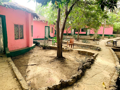
Jang Jang Burreh Camp
61.0 km
Experience the natural beauty and cultural richness of Gambia at Jang Jang Burreh Camp, a serene retreat in Janjanbureh.
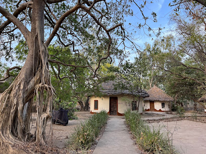
Bar Chez Janine
72.7 km
Experience the vibrant atmosphere of Bar Chez Janine in Kolda, where local culture meets refreshing drinks and friendly faces.
