
Discover the Wonders of the Piri Reis Map
Explore the Piri Reis Map in Çanakkale, Turkey; a stunning historical artifact showcasing 16th-century cartography and maritime history.
The Piri Reis Map is a remarkable historical artifact located in Çanakkale, Turkey. This ancient map, created in 1513 by the Ottoman admiral Piri Reis, is a testament to the advanced cartographic knowledge of its time, featuring detailed depictions of the Americas and parts of Europe. Visitors to this unique tourist attraction will be captivated by the intricate details and historical significance of this map, making it a must-see for history enthusiasts and curious travelers alike.
A brief summary to Piri Reis Haritası
- Kayserili Ahmet Paşa Cd. No:34, Çanakkale Merkez, Cevat Paşa, Çanakkale, 17000, TR
Local tips
- Visit during off-peak hours to enjoy a quieter experience and better view of the exhibits.
- Consider joining a guided tour for in-depth knowledge about the map's history and significance.
- Take your time to examine the smaller details on the map, they reveal fascinating insights into historical navigation.
Getting There
-
Walking
If you are starting from the Çanakkale waterfront, head east along the promenade until you reach the main street, Cumhuriyet Caddesi. Turn left onto Cumhuriyet Caddesi and walk straight until you reach the intersection with Kayserili Ahmet Paşa Cd. Turn right onto Kayserili Ahmet Paşa Cd. Continue walking for about 500 meters; Piri Reis Haritası will be on your left at No:34.
-
Public Transport (Bus)
From the Çanakkale bus station, you can take bus number 4 towards Cevat Paşa. The bus will take you directly to a stop near Kayserili Ahmet Paşa Cd. Get off at the Cevat Paşa stop. From there, walk approximately 200 meters south along Kayserili Ahmet Paşa Cd. Piri Reis Haritası will be located at No:34 on your right.
-
Bicycle Rental
Rent a bicycle from one of the rental shops near the Çanakkale waterfront. Head east on the promenade, then turn left on Cumhuriyet Caddesi. Cycle along Cumhuriyet Caddesi until you reach Kayserili Ahmet Paşa Cd. Turn right onto Kayserili Ahmet Paşa Cd. and ride for about 500 meters. Piri Reis Haritası will be on your left at No:34.
Discover more about Piri Reis Haritası
Iconic landmarks you can’t miss
Çanakkale Görsel / Çanakkale Drone Çekimi Hizmetleri
0.1 km
Experience Çanakkale like never before with stunning aerial photography and videography, capturing the essence of this historic city from above.
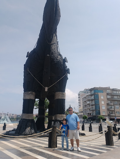
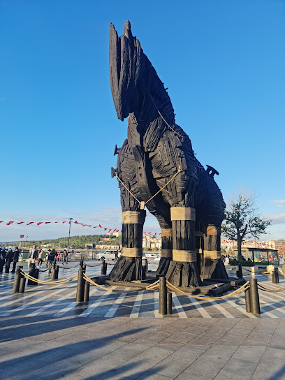
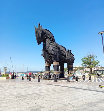
Trojan Horse Statue
0.2 km
Discover the captivating Trojan Horse Statue in Çanakkale, a symbol of ancient myths and a must-visit for all history enthusiasts.
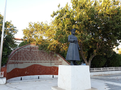
Atatürk Heykeli
0.5 km
Explore Atatürk Heykeli in Çanakkale, a captivating monument honoring Turkey's founding father, surrounded by rich history and stunning scenery.
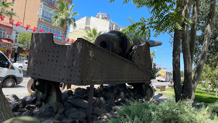
Çanakkale Savaşında Kullanılan Top
0.5 km
Explore the iconic artillery of the Çanakkale War, a historical landmark symbolizing courage and resilience in Turkey's national history.
Travel Lutars
0.5 km
Explore the historical and scenic treasures of Çanakkale, from the legendary ruins of Troy to the poignant sites of Gallipoli.
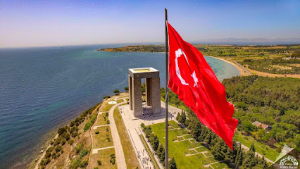
Çanakkale Saat Kulesi
0.6 km
Discover the beauty and history of Çanakkale Saat Kulesi, a must-visit historical landmark in Turkey's vibrant city of Çanakkale.
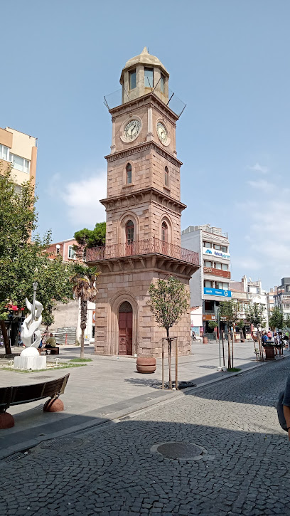
Military Marine Museum
0.9 km
Explore Turkey's naval history at the Military Marine Museum in Çanakkale, a captivating destination for history enthusiasts and families.
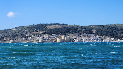
Hastane Bayırı Şehitliği
1.3 km
Explore Hastane Bayırı Şehitliği in Çanakkale, a poignant cemetery honoring the brave soldiers of the Gallipoli Campaign, surrounded by nature's beauty.
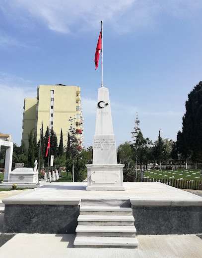
Namazgah Bastion
2.6 km
Discover the stunning views and rich history at Namazgah Bastion, a significant landmark overlooking the Dardanelles in Turkey.
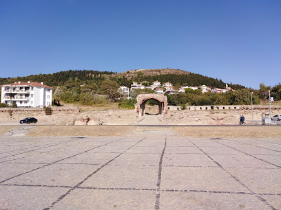
Çanakkale Şehitlik Rehberi (Alan Kılavuzu)
2.8 km
Experience the historical charm and modern vibrancy of Çanakkale, a city that bridges past and present at the Dardanelles.
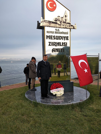
Seyit Onbaşı Anıtı
3.0 km
Discover the Seyit Onbaşı Anıtı, a powerful monument in Çanakkale celebrating Turkey's heroic past and offering stunning views of the Dardanelles.
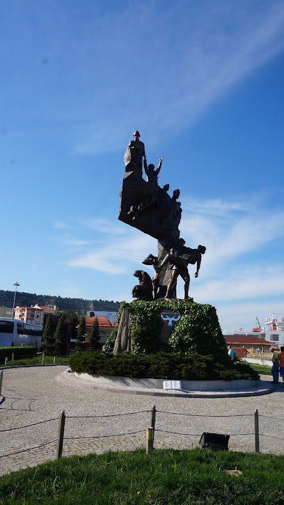
Troia
4.5 km
Explore the legendary ruins of Troia, a UNESCO World Heritage site in Turkey, where history and breathtaking landscapes combine for an unforgettable experience.
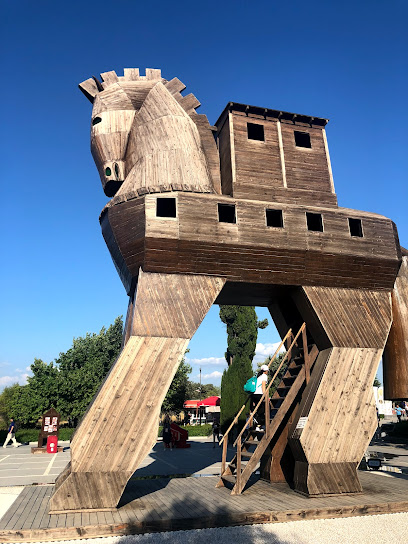
Bigalı Castle
6.9 km
Discover the historical splendor of Bigalı Castle, a fortress offering breathtaking views and a glimpse into Turkey's rich past, nestled in the scenic Çanakkale region.
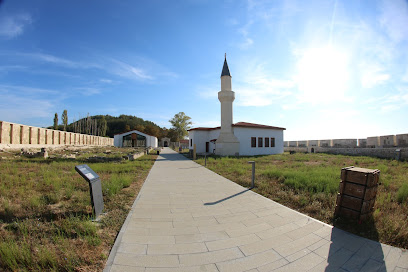
Soğanlıdere Şehitliği
9.6 km
Discover the serene beauty and historical significance of Soğanlıdere Şehitliği, a cemetery honoring the brave soldiers of the Gallipoli Campaign.
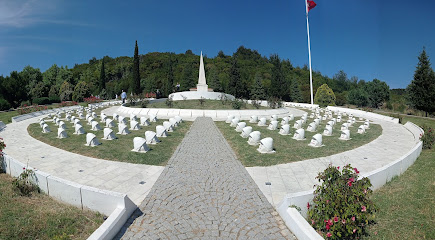
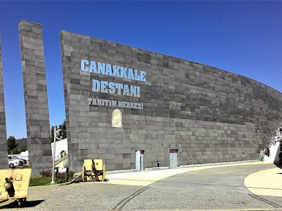
Epic Promotion Center
12.3 km
Immerse yourself in Turkey's military history at the Epic Promotion Center, a top war museum in Çanakkale showcasing bravery and sacrifice.
Unmissable attractions to see
Halk Bahçesi
0.3 km
Explore Halk Bahçesi, a serene urban park in Çanakkale, where nature meets history in a tranquil setting perfect for relaxation and local culture.
Çanakkale Kordon
0.4 km
Experience the scenic beauty and vibrant atmosphere of Çanakkale Kordon, a captivating waterfront destination rich in history and charm.
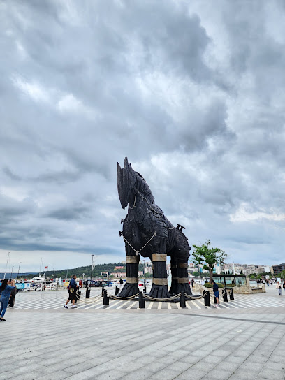
Canakkale City Museum & Archive
0.8 km
Explore the captivating history of Canakkale at the City Museum & Archive, a treasure trove of local heritage and culture.
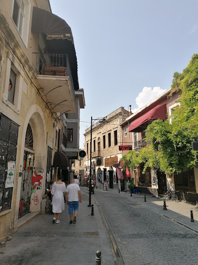
Rhapsodos Mozaik
0.8 km
Explore the stunning artistry of Rhapsodos Mozaik, a vibrant cultural hub in Çanakkale showcasing exquisite Turkish mosaic craftsmanship.
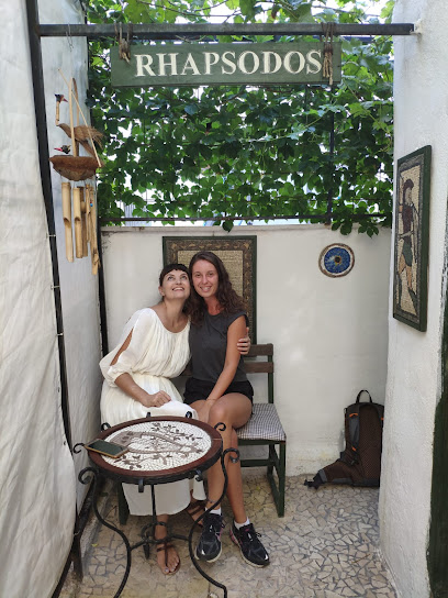
Rotary Parkı
0.8 km
Experience the tranquil beauty of Rotary Parkı in Çanakkale, a perfect retreat for nature lovers and families alike.
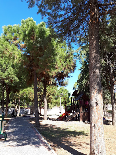
Çanakkale Deniz Müzesi
1.0 km
Discover the maritime history of Çanakkale at the Deniz Müzesi, where naval artifacts and stories come to life in an engaging experience.
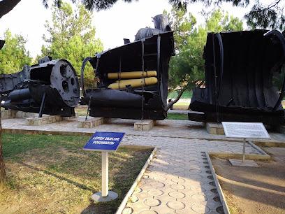
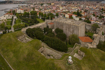
Cimenlik Castle
1.0 km
Explore Cimenlik Castle in Çanakkale, a historic fortress offering stunning views and a deep dive into Turkey's fascinating military past.
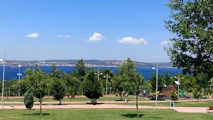
Liberty Park
1.1 km
Explore the lush greenery and tranquil atmosphere of Liberty Park, a premier urban oasis in Çanakkale, perfect for relaxation and outdoor activities.
Minyatür Gelibolu - Çanakkale
1.9 km
Immerse yourself in Turkey's history at Miniatürk Gelibolu, a captivating miniature park showcasing the Gallipoli Campaign's iconic landmarks.
Kilitbahir Castle
2.4 km
Explore Kilitbahir Castle, an iconic fortress in Çanakkale, Turkey, rich in history and offering stunning views of the Dardanelles Strait.
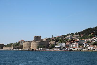
Stop Passenger Silhouette
2.9 km
Discover the captivating Stop Passenger Silhouette in Kilidülbahir, a serene tourist attraction steeped in history and breathtaking natural beauty.
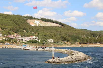
SEYIT ONBAŞI
4.0 km
Discover the inspiring legacy of Seyit Onbaşı, a symbol of bravery and sacrifice from the Gallipoli Campaign in this remarkable museum located in Eceabat.
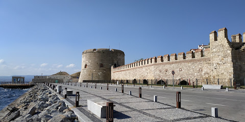
Havuzlar Şehitliği ve Anıtı
5.0 km
Explore the poignant Havuzlar Şehitliği ve Anıtı in Çanakkale, a monument honoring the heroes of the Gallipoli Campaign amidst stunning landscapes.
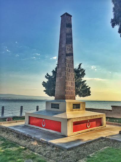
Gallipoli Peninsula Historical National Park
7.2 km
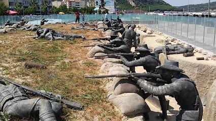
Explore the Gallipoli Peninsula Historical National Park, a UNESCO site rich in history, memorials, and stunning landscapes reflecting on World War I's legacy.
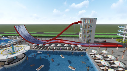
Çanakkale Aqua Park Aqualand
7.3 km
Experience endless fun and relaxation at Çanakkale Aqua Park Aqualand, the ultimate water park for families and thrill-seekers in Turkey.
Essential places to dine
Radia Restaurant
0.1 km
Experience authentic Turkish cuisine at Radia Restaurant in Çanakkale – where tradition meets modern dining in an inviting atmosphere.

Akol Balık Restaurant
0.1 km
Experience exquisite seafood dining at Akol Balık Restaurant in Çanakkale—where fresh flavors meet stunning waterfront views.

ŞAYKA BALIK & ET RESTAURANT
0.1 km
Experience exceptional seafood and meat dishes at ŞAYKA BALIK & ET RESTAURANT in Çanakkale – a feast for all your senses.

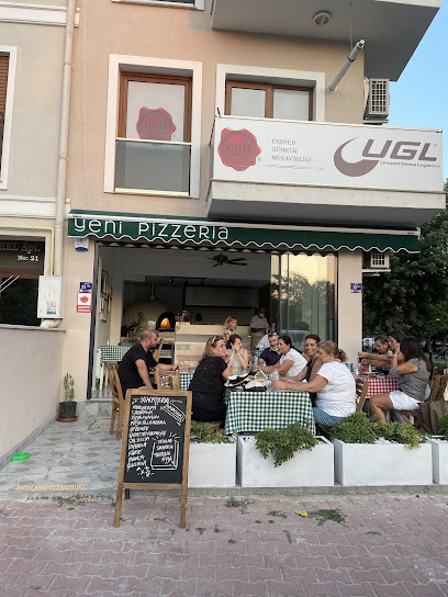
Yeni Pizzeria
0.1 km
Savor authentic Italian pizzas at Yeni Pizzeria in Çanakkale – where every slice tells a story.
Egece Teras Restaurant & Bar
0.5 km
Experience exquisite dining at Egece Teras Restaurant & Bar in Çanakkale, offering stunning views and delightful culinary creations for every occasion.

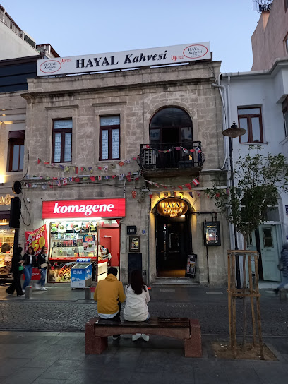
Hayal Kahvesi Çanakkale
0.6 km
Discover Hayal Kahvesi Çanakkale: A lively bistro and nightclub offering exquisite dining and electrifying live music in the heart of Turkey.
Abla'nın Yeri Ev Yemekleri
0.6 km
Experience authentic Turkish home-cooked meals at Abla'nın Yeri Ev Yemekleri in Çanakkale - where tradition meets flavor.

Sea Side Restaurant
0.6 km
Discover exquisite flavors and breathtaking views at Sea Side Restaurant in Çanakkale - a culinary haven by the sea.

Kaçan Balık 17
0.6 km
Experience authentic Turkish seafood at Kaçan Balık 17 - where fresh flavors meet warm hospitality in Çanakkale.
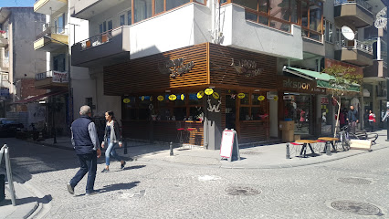
Usta Adanalılar Çanakkale
0.6 km
Experience authentic Turkish cuisine at Usta Adanalılar Çanakkale – where every dish tells a story.

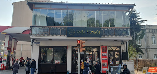
1970 M. Sezgin Paşa Konağı
0.6 km
Experience authentic Turkish flavors at 1970 M. Sezgin Paşa Konağı in Çanakkale – where every meal tells a story.
Kofteci Mumin
0.6 km
Discover authentic Turkish flavors at Kofteci Mumin in Çanakkale, specializing in deliciously grilled koftas and traditional dishes.
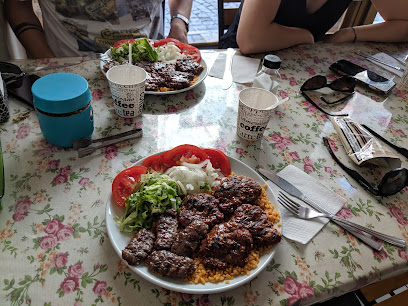
Giritli meze evi
0.6 km
Experience the essence of Mediterranean cuisine at Giritli Meze Evi in Çanakkale, where fresh ingredients meet traditional recipes.

Crespo Burger Argentina Çanakkale
0.7 km
Discover Crespo Burger in Çanakkale: where Argentine flavors meet local charm for an unforgettable dining experience.
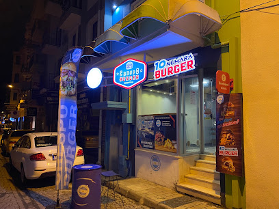
Feslegen Ev Yemekleri
0.7 km
Experience authentic Turkish home cooking at Feslegen Ev Yemekleri in Çanakkale – where every dish tells a story.
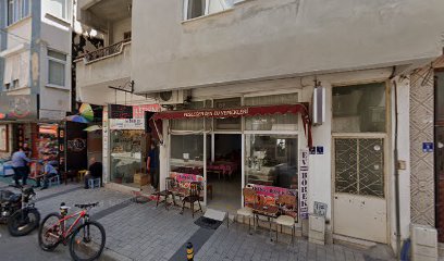
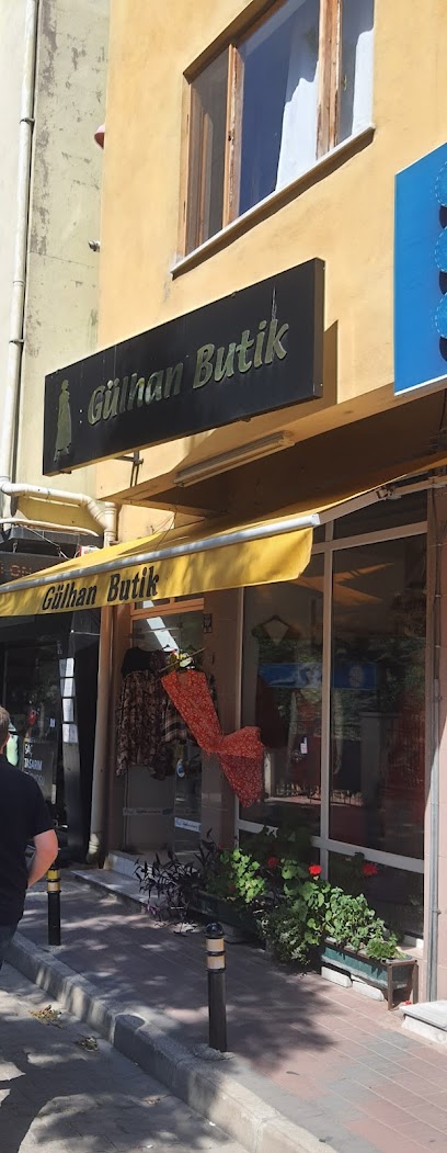
Markets, malls and hidden boutiques
GÜLHAN BUTİK
0.6 km
Explore the vibrant world of fashion at GüLhan Butik in Çanakkale, where contemporary style meets local charm. A must-visit for fashion enthusiasts.
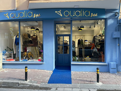
Qualia Butik
0.7 km
Explore the stylish elegance of Qualia Butik in Çanakkale, where fashion meets quality in a charming boutique setting.
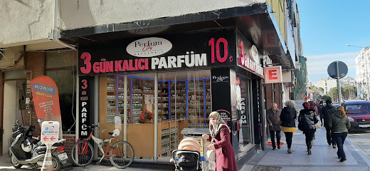
Perfum City
0.7 km
Discover the art of fragrance at Perfum City, Çanakkale's premier perfume store offering a unique selection of scents from local and international brands.
Yesim Collection
0.7 km
Explore Yesim Collection in Çanakkale for a unique shopping experience filled with contemporary fashion and local charm.
Moda Show
0.7 km
Explore the latest fashion trends at Moda Show in Çanakkale, where style meets quality in a vibrant shopping experience.
myplus
0.7 km
Explore MyPlus Store in Çanakkale for unique local finds and a taste of Turkish craftsmanship in a welcoming atmosphere.
Star
0.7 km
Discover stylish apparel and unique fashion finds at Star Clothing Store in the heart of Çanakkale.
Şimal
0.7 km
Explore the vibrant fashion scene at Şimal in Çanakkale, where unique styles meet local culture in a delightful shopping experience.
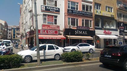
Picassu
0.7 km
Explore the vibrant essence of Çanakkale at Picassu, where local craftsmanship meets authentic souvenirs and cultural experiences.
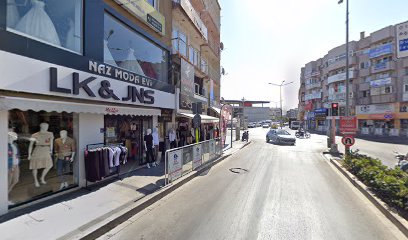
Gala Bijuteri
0.7 km
Explore the exquisite craftsmanship of handcrafted jewelry at Gala Bijuteri in Çanakkale, a treasure trove for jewelry enthusiasts.
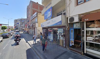
DiOpia Collections
0.7 km
Explore DiOpia Collections in Çanakkale for an unforgettable shopping experience with exquisite dresses that blend local charm and modern elegance.
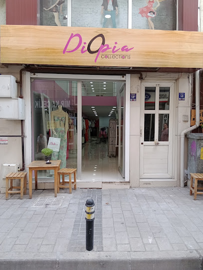
MorMavi Butik
0.7 km
Explore the charming MorMavi Butik in Çanakkale for unique women's fashion that blends local style with contemporary trends.
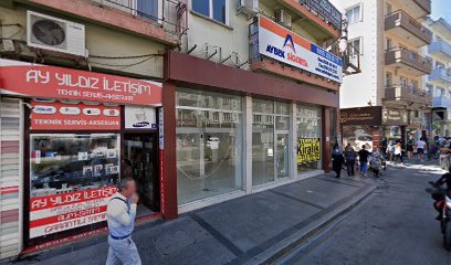
Kabuk Studio Etsy
0.7 km
Explore Kabuk Studio in Çanakkale for unique, handcrafted bags that showcase local artistry and culture, perfect for memorable souvenirs.
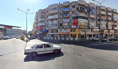
Porselano
0.7 km
Explore Porselano in Çanakkale for exquisite home goods, unique souvenirs, and a taste of Turkish craftsmanship in a welcoming atmosphere.
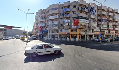
İkonİstanbul Butik
0.7 km
Explore İkonİstanbul Butik in the heart of Çanakkale for unique fashion and accessories that embody the spirit of Turkish culture.

Essential bars & hidden hideouts
Helen Bar
0.1 km
Discover the vibrant atmosphere of Helen Bar in Çanakkale, where refreshing drinks and lively conversations await you every night.

Hangover Cafe Bar
0.1 km
Discover the lively nightlife at Hangover Cafe Bar in Çanakkale, where great drinks meet a vibrant atmosphere.

Ora Pub
0.1 km
Immerse yourself in the lively atmosphere of Ora Pub, a vibrant bar in Çanakkale offering local drinks and a welcoming ambiance.

Roof Bar
0.1 km
Experience breathtaking views and vibrant nightlife at Roof Bar in Çanakkale, the perfect escape for travelers seeking relaxation and fun.

Pub Locale - Çanakkale
0.2 km
Discover Pub Locale in Çanakkale: a lively pub and dart bar nestled in a beautiful garden, perfect for drinks and socializing amidst local culture.

Lodos Bar
0.4 km
Experience the vibrant nightlife at Lodos Bar in Çanakkale, offering a delightful mix of local drinks and a friendly atmosphere.

West Snacks & Drinks
0.6 km
Discover the cozy charm of West Snacks & Drinks in Çanakkale, where local flavors meet a friendly atmosphere, perfect for unwinding after exploring.
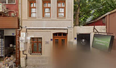
MacLeren's Doors
0.6 km
Experience the vibrant nightlife of Çanakkale at MacLeren's Doors, a charming bar and pub known for its delightful drinks and lively atmosphere.
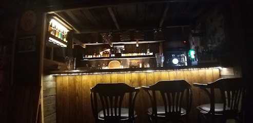
Valhalla Metal Pub
0.6 km
Discover the ultimate metal haven at Valhalla Metal Pub in Çanakkale, where great music meets delicious food and drinks.

Hane Çanakkale
0.6 km
Discover the charm of Hane Çanakkale, a cozy pub offering a delightful selection of local beers and a welcoming atmosphere in the heart of Çanakkale.

Donkey Shot 17
0.7 km
Experience the vibrant nightlife at Donkey Shot 17, Çanakkale's premier pub with unique cocktails and a lively atmosphere for all.

Helix pub
0.7 km
Discover Helix Pub in Çanakkale: a vibrant hub for food, drinks, and unforgettable social experiences amidst a lively atmosphere.

Jokers Bar Canakkale
0.7 km
Jokers Bar Canakkale: Your go-to spot for cocktails, karaoke, and unforgettable nights in the heart of Turkey.

KÜPELİ PUB
0.7 km
Discover the lively ambiance and local flavors at Küpeli Pub in Çanakkale, where every drink tells a story.
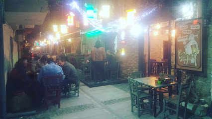
Cosmos Bar
0.7 km
Experience Çanakkale's nightlife at Cosmos Bar, a vibrant venue offering delicious drinks and a friendly atmosphere, perfect for memorable nights out.

Nightclubs & after hour spots
Gece Pub
0.6 km
Experience the vibrant nightlife at Gece Pub in Çanakkale, where great drinks and friendly vibes come together for an unforgettable evening.
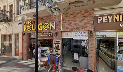
GAİA
0.7 km
Experience the vibrant nightlife of Çanakkale at GAİA, where electrifying music and lively crowds create unforgettable moments.

Hürriyet Bahçesi
0.8 km
Discover the exhilarating nightlife at Hürriyet Bahçesi, Çanakkale’s premier night club, where vibrant energy and unforgettable moments await.
Hilal düğün
1.3 km
Discover the vibrant nightlife of Çanakkale at Hilal Düğün, a lively night club offering music, dancing, and unforgettable experiences.

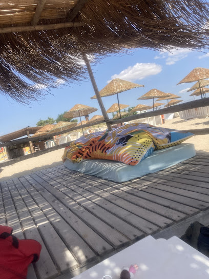
Gala Beach Club
66.6 km
Discover the vibrant nightlife at Gala Beach Club, the ultimate destination for music, dancing, and breathtaking beachfront views in Enez.
Κιβωτός Live Stage
88.9 km
Immerse yourself in the vibrant nightlife of Alexandroupoli at Κιβωτός Live Stage, your go-to destination for live music and unforgettable performances.

Cabaret Night Club
89.0 km
Discover the exhilarating atmosphere of Cabaret Night Club in Alexandroupoli, a must-visit for nightlife lovers seeking unforgettable entertainment.

Estado Club
89.0 km
Dive into the nightlife at Estado Club, Alexandroupoli’s premier dance destination offering electrifying music and an unforgettable party atmosphere.

Prive Club
89.1 km
Experience the electrifying nightlife at Prive Club in Alexandroupoli with dancing, drinks, and vibrant beats that keep you moving all night long.

1ος Orofos Apo
89.2 km
Discover the electrifying nightlife of Alexandroupoli at 1ος Orofos Apo, where unforgettable nights await in a vibrant atmosphere.
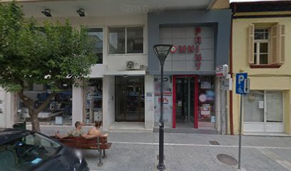
Νεράιδα Music Hall
89.2 km
Discover the electrifying nightlife at Νεράιδα Music Hall in Traianoupoli, where music and dance create unforgettable memories.


