

Cuchilla de Cerro Largo, Cerro Largo Travel Guide
Discover the breathtaking beauty of Cuchilla de Cerro Largo, Uruguay’s mountain peak, perfect for nature lovers and adventure seekers alike.
Cuchilla de Cerro Largo is a breathtaking mountain peak located in the Cerro Largo Department of Uruguay, offering stunning views, diverse flora and fauna, and an array of outdoor activities for tourists seeking adventure and natural beauty.
A brief summary to Cuchilla de Cerro Largo
- Cerro Largo Department, UY

Know before you go
Hi, I'm Eve. Here are a few practical things to know before exploring Cuchilla de Cerro Largo.
- Visit early in the morning to enjoy the stunning sunrise and avoid the crowds.
- Bring sturdy hiking shoes and plenty of water, as the trails can be steep and challenging.
- Don’t forget your camera; the views from the peak are breathtaking and perfect for capturing memories.
- Check the weather forecast before your visit, as conditions can change rapidly in mountainous areas.
- Consider visiting during the off-peak season for a more tranquil experience.
Do you manage this location?
Take control to get all the benefits, like improved information, better appearance, and stronger visibility across AI-powered discovery. Learn more about listing your business on Evendo
Activate your presenceOther nearby places you may find interesting
The closest places of the same kind, if this one is not quite what you had in mind.
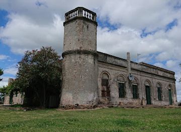
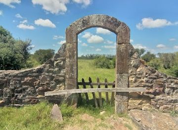
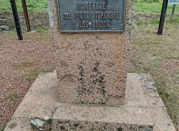


Explore Cuchilla de Cerro Largo on the Map
A handpicked selection of must-see spots near Cuchilla de Cerro Largo, mapped for you.
Getting There
-
Car
If you are traveling by car, start by heading towards Route 8 (Ruta 8) from any location in Cerro Largo. Follow Route 8 until you reach the junction with Route 43 (Ruta 43). Take the exit onto Route 43 heading towards Melo. Continue on Route 43 for approximately 30 kilometers until you reach a small crossroad where you will see signs for Cuchilla de Cerro Largo. Turn onto this smaller road and follow it for about 10 kilometers, keeping an eye out for the landmark signs indicating the Cuchilla de Cerro Largo area. Parking may be available in designated areas near the peak.
-
Public Transportation
To reach Cuchilla de Cerro Largo using public transportation, start by taking a bus from the main bus terminal in Melo (Terminal de Ómnibus de Melo). Look for buses heading towards the town of Rio Branco or any bus service that passes through Route 43. The journey will take about 1 to 1.5 hours. Once you arrive at your stop near Route 43, you may need to walk approximately 5 kilometers towards Cuchilla de Cerro Largo. Be sure to check with the bus driver or local residents for the best stop to disembark. It is advisable to arrange for a pickup in advance or use a rideshare app once you are close to your destination, as public transport may not cover the last leg of the journey.
-
Bicycle
For the adventurous traveler, renting a bicycle in Melo can be an option. Cycle along Route 8 to Route 43, which is approximately 30 kilometers. This route has some inclines, so be prepared for a moderate workout. Once you reach Route 43, continue cycling for another 10 kilometers until you reach Cuchilla de Cerro Largo. Make sure to plan your trip during daylight hours for safety and carry plenty of water and snacks, as amenities can be sparse in this rural area.
Discover more about Cuchilla de Cerro Largo
More to explore near Cuchilla de Cerro Largo













Your all‑in‑one travel companion app
Explore expert travel guides, compare and book tours, experiences, hotels, and more—all from the palm of your hand. Download now for seamless trip planning wherever your wanderlust takes you.


Explore More of Cerro Largo
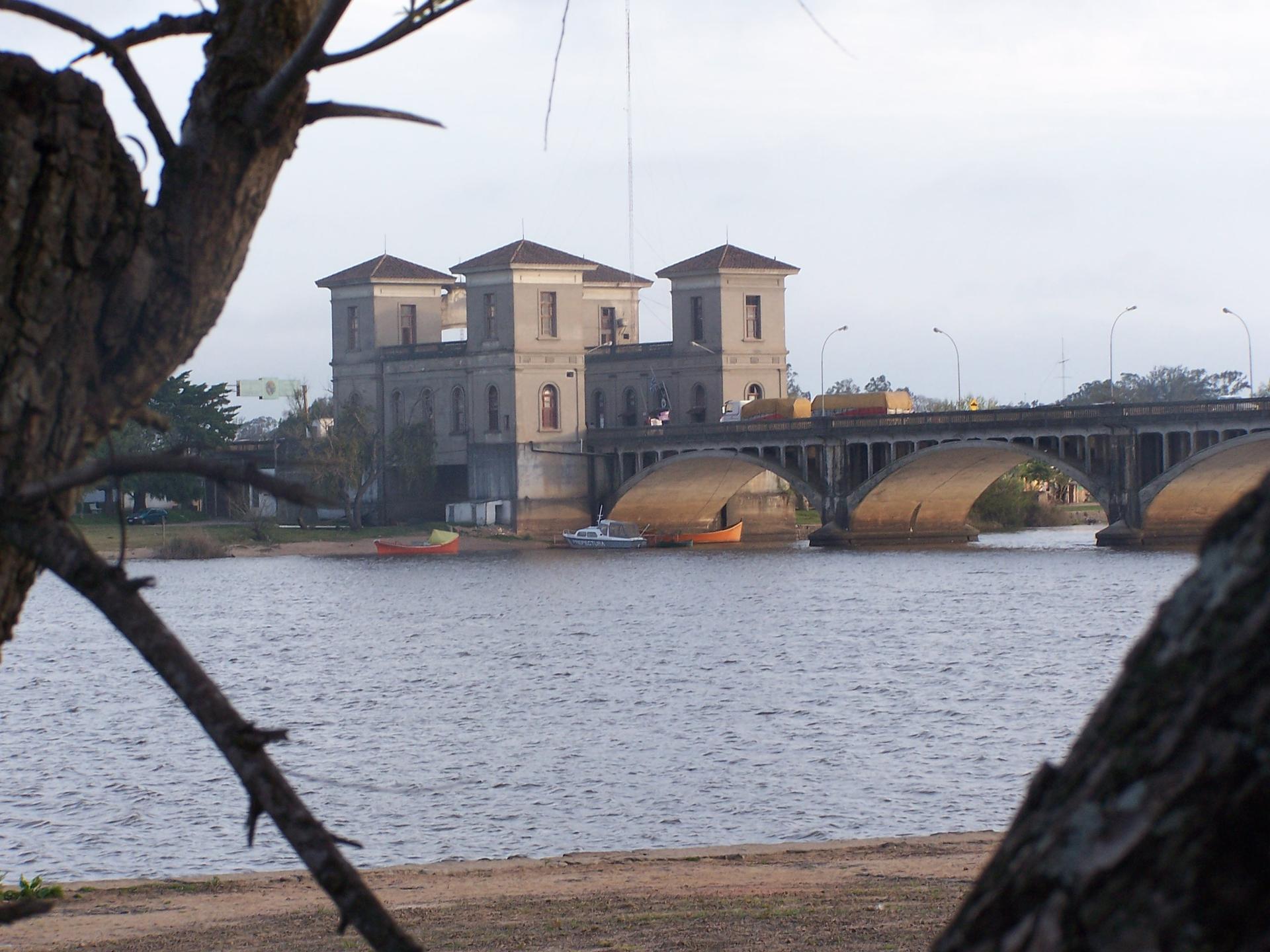
Looking beyond Cuchilla de Cerro Largo? Discover Cerro Largo for broader travel guides, local hot-spots, and regional highlights.
Explore Cerro Largo
Explore the rich cultural heritage of Cerro Largo at Museo Histórico Regional de Melo, where history comes alive through captivating exhibits and artifacts.
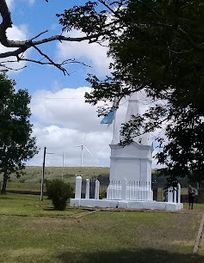
Descubre el Mausoleo en Arbolito, un monumento conmovedor que rinde homenaje a los héroes de la historia uruguaya en un entorno natural sereno.
