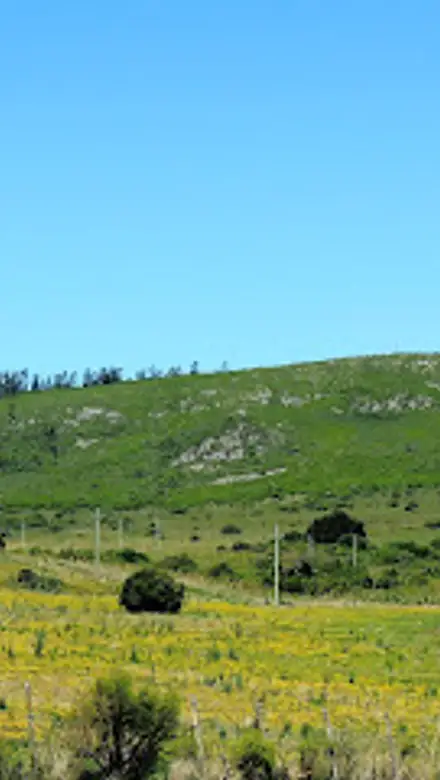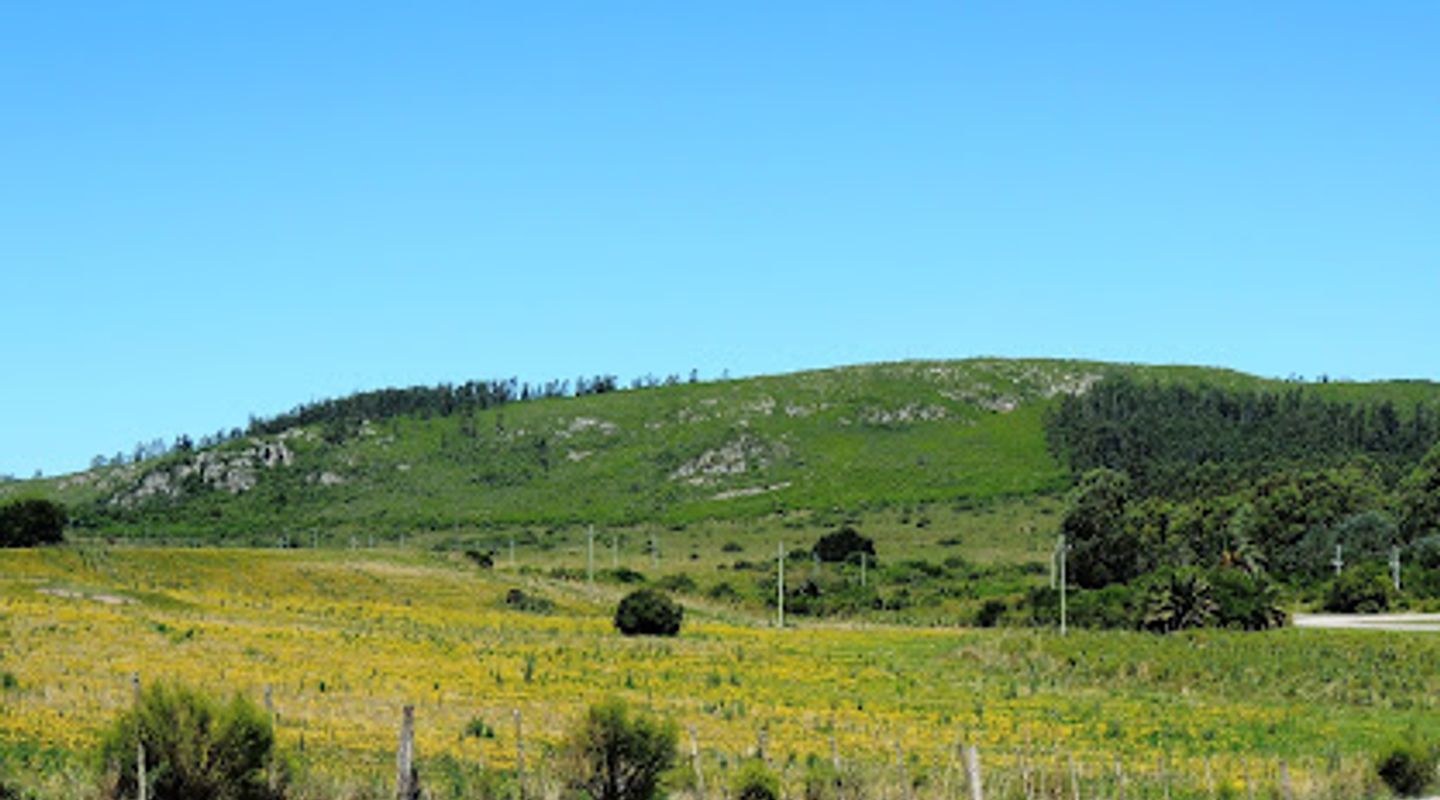
Cerro del Aguila, Lavalleja Travel Guide
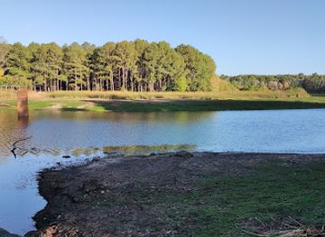
Discover the breathtaking vistas and serene wildlife at Cerro del Aguila, a premier nature preserve in Minas, Lavalleja, Uruguay.
Cerro del Aguila, a stunning nature preserve in Minas, Lavalleja, offers breathtaking views, diverse wildlife, and an immersive experience in Uruguay's rich natural landscape. Perfect for hiking, photography, and relaxation.
A brief summary to Cerro del Aguila
- HMQG+GRH, Unnamed Road, Minas, Lavalleja Department, UY
- Click to display

Know before you go
Hi, I'm Eve. Here are a few practical things to know before exploring Cerro del Aguila.
- Visit early in the morning or late afternoon for the best lighting and fewer crowds.
- Wear comfortable hiking shoes as the trails can be uneven and steep.
- Bring a picnic to enjoy in designated areas surrounded by nature.
- Don't forget your camera to capture the stunning landscapes and wildlife.
- Check for any local wildlife tours or guided hikes for a richer experience.
Do you manage this location?
Take control to get all the benefits, like improved information, better appearance, and stronger visibility across AI-powered discovery. Learn more about listing your business on Evendo
Activate your presenceOther nearby places you may find interesting
The closest places of the same kind, if this one is not quite what you had in mind.


Explore Cerro del Aguila on the Map
A handpicked selection of must-see spots near Cerro del Aguila, mapped for you.
Getting There
-
Car
If you're driving from the center of Cerro Arequita, start by heading southeast on Route 8. Continue for about 6 kilometers until you reach the junction with Route 60. Take a left turn onto Route 60 and follow it for approximately 9 kilometers. Look for a sign indicating Cerro del Aguila, which is an unnamed road on your right. Turn onto this road and follow it for about 2 kilometers until you reach the parking area near the trailhead for Cerro del Aguila.
-
Public Transportation
To reach Cerro del Aguila via public transport, start at the main bus station in Cerro Arequita. Take a local bus heading towards Minas. Inform the driver that you would like to get off at the nearest stop to Cerro del Aguila. Depending on the exact drop-off point, you may need to walk approximately 3 kilometers along Unnamed Road to reach the entrance of Cerro del Aguila. Make sure to check the bus schedule in advance, as services may not run frequently.
Discover more about Cerro del Aguila













Your all‑in‑one travel companion app
Explore expert travel guides, compare and book tours, experiences, hotels, and more—all from the palm of your hand. Download now for seamless trip planning wherever your wanderlust takes you.


Explore More of Lavalleja
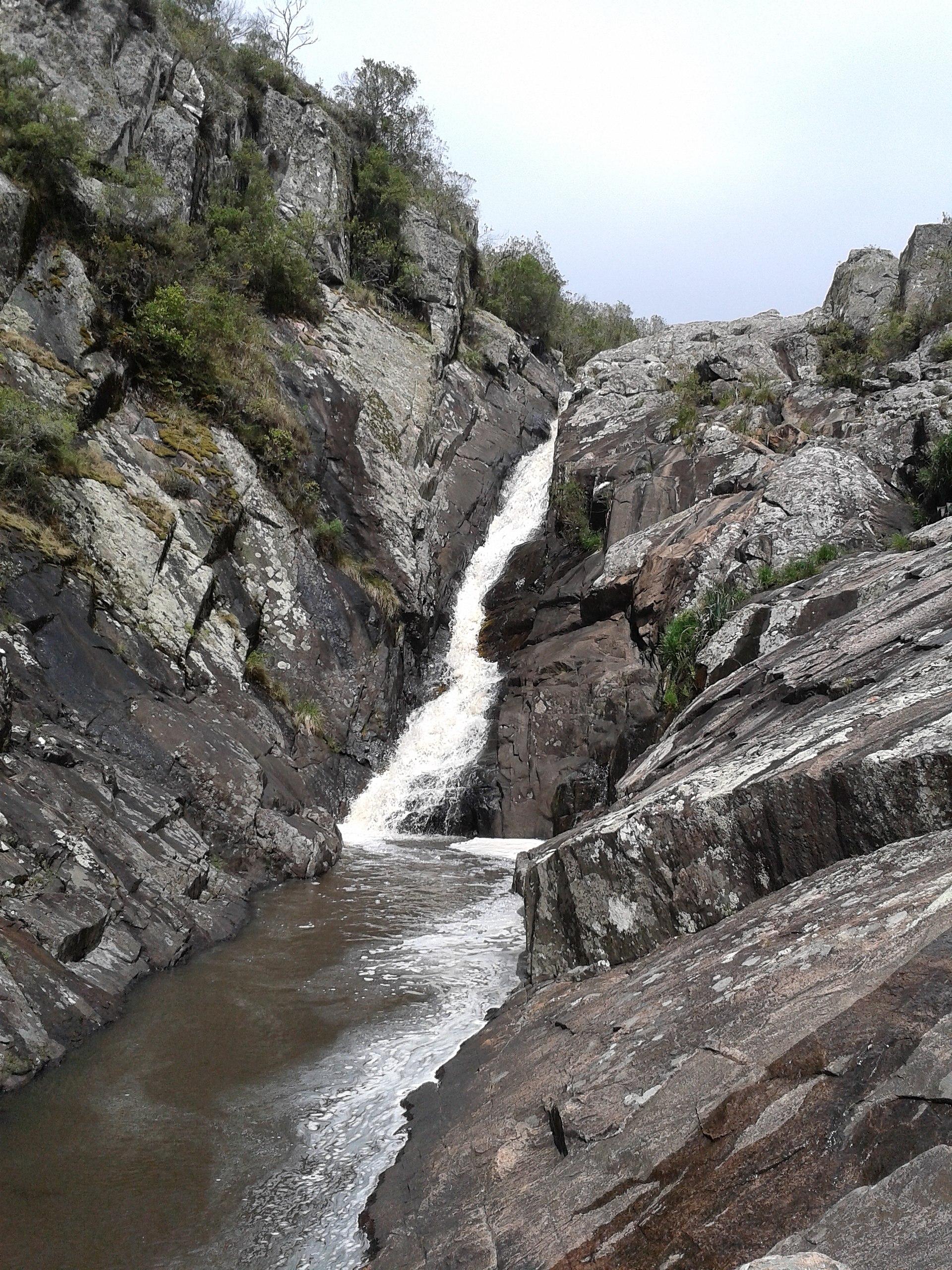
Looking beyond Cerro del Aguila? Discover Lavalleja for broader travel guides, local hot-spots, and regional highlights.
Explore Lavalleja
Explore the rich history and culture of Minas at the Old Windmill Museum, a unique attraction housed in a charming windmill.

Discover the breathtaking beauty of Salus Natural Reserve in Lavalleja, Uruguay - a perfect blend of nature, wildlife, and outdoor adventure.