From Eve
Know before you go
Hi, I'm Eve. Here are a few practical things to know before exploring Arches Trailhead.
Local know-how to help you travel smarter and make the most of every moment.

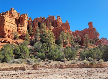
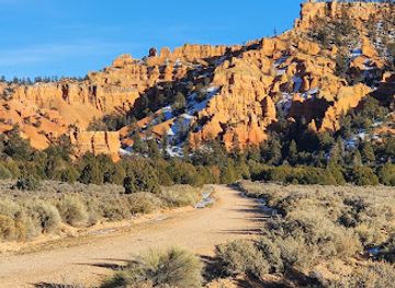
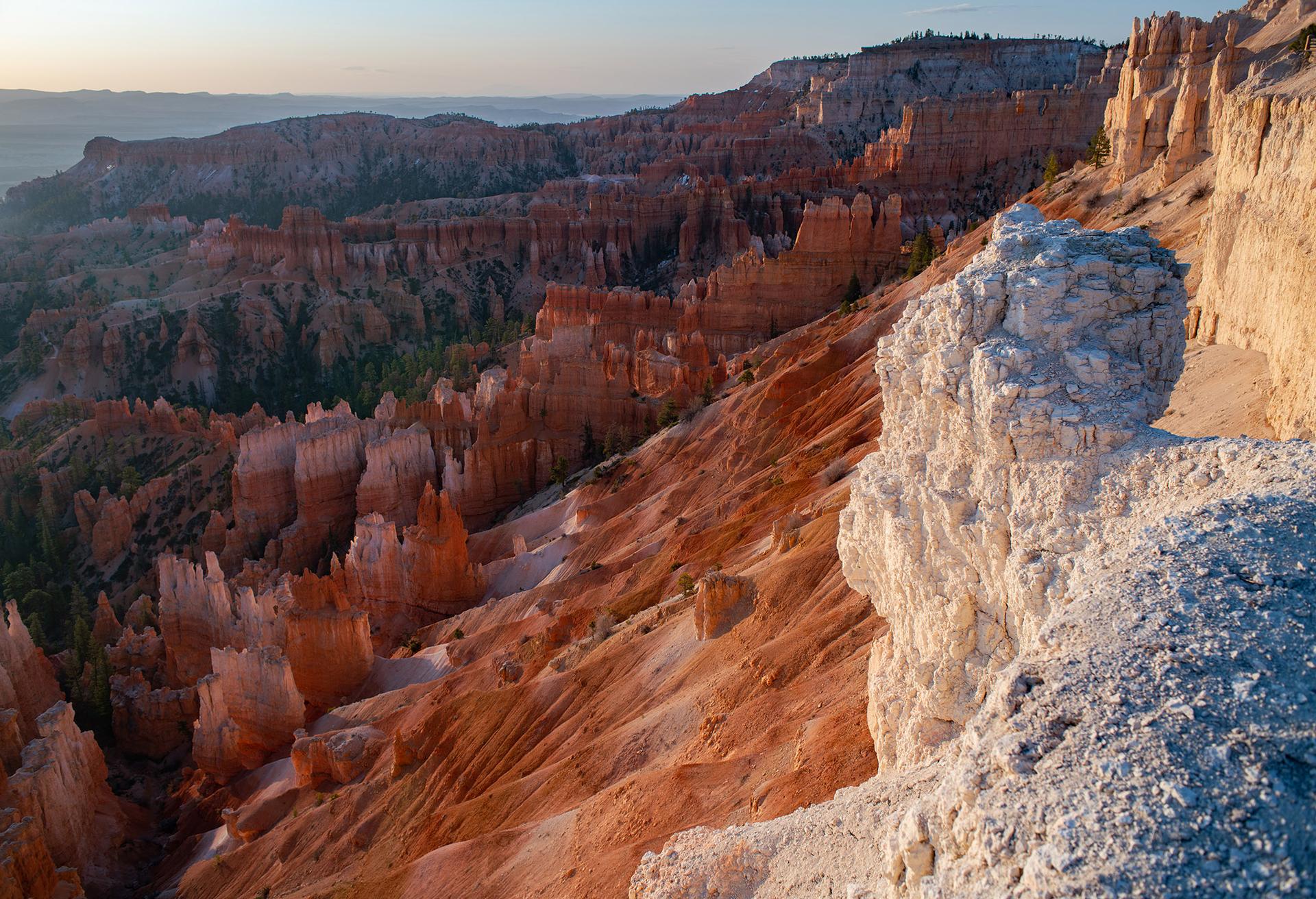
Explore the breathtaking Arches Trailhead in Panguitch, Utah, offering stunning trails and natural beauty for all hiking enthusiasts.
Nestled in the breathtaking landscapes of Panguitch, Utah, the Arches Trailhead invites outdoor enthusiasts and nature lovers to embark on unforgettable hiking adventures. With stunning vistas and a variety of trails, this destination is perfect for all skill levels.
Opening times, essentials, and a few local tips gathered into one calmer, easier-to-scan planning section.
Hi, I'm Eve. Here are a few practical things to know before exploring Arches Trailhead.
Local know-how to help you travel smarter and make the most of every moment.
Car
If you're driving from the town of Panguitch, UT, head east on UT-12 E for about 12 miles. Turn left onto Losee Canyon Trail Road (look for signs for Dixie National Forest) and follow the road for approximately 2 miles. The Arches Trailhead will be on your left. There is a parking area available at the trailhead.
Public Transportation
Public transportation options are limited in this remote area. However, you can take a bus to Panguitch, Utah. From there, you may need to arrange for a taxi or rideshare service to reach the Arches Trailhead, which is approximately 14 miles away. Contact local taxi services in Panguitch to inquire about rates and availability.
Bicycle
For those who may want to bike, you can ride from Panguitch along UT-12 E. This route is about 12 miles to the Losee Canyon Trail Road. Be cautious as the road may have limited shoulder space. Once you reach Losee Canyon Trail Road, continue for about 2 miles to the trailhead.
Walking
Walking to Arches Trailhead from Panguitch is not recommended due to the distance (approximately 14 miles). However, if you choose to walk, head east on UT-12 E, then turn left onto Losee Canyon Trail Road and walk until you reach the trailhead. Ensure you are prepared for a long walk and have adequate supplies.
Use Tower Bridge as your starting point for nearby food, family ideas, nightlife, and more local discoveries.

Explore expert travel guides, compare and book tours, experiences, hotels, and more—all from the palm of your hand. Download now for seamless trip planning wherever your wanderlust takes you.
Discover the breathtaking landscapes and diverse wildlife of Dixie National Forest, Utah's hidden gem, nestled between Bryce Canyon and Zion National Parks.
Tell me more about Dixie National Forest