

Weatherman’s Lookout, Uinta Wasatch Cache National Forest Travel Guide
Experience stunning vistas and serene hikes at Weatherman's Lookout, a must-visit hiking area in Provo, Utah, perfect for nature lovers and adventure seekers.
Weatherman’s Lookout in Provo, Utah, is a breathtaking hiking area that offers stunning views of the surrounding landscapes. Perfect for nature lovers and adventurers alike, this spot provides a serene escape into the great outdoors.
A brief summary to Weatherman’s Lookout
- 2085 S Montana Ave, Provo, Provost South, Utah, 84606, US

Know before you go
Hi, I'm Eve. Here are a few practical things to know before exploring Weatherman’s Lookout.
- Wear sturdy hiking shoes for better traction on the trails.
- Visit early in the morning or late afternoon for the best lighting for photography.
- Bring plenty of water and snacks to stay energized during your hike.
- Keep an eye out for wildlife, particularly during dawn and dusk.
- Check the weather forecast before your visit to ensure a safe hiking experience.
Do you manage this location?
Take control to get all the benefits, like improved information, better appearance, and stronger visibility across AI-powered discovery. Learn more about listing your business on Evendo
Activate your presenceOther nearby places you may find interesting
The closest places of the same kind, if this one is not quite what you had in mind.



Explore Weatherman’s Lookout on the Map
A handpicked selection of must-see spots near Weatherman’s Lookout, mapped for you.
Getting There
-
Car
If you are driving from Provo, head south on S Montana Ave toward W 2000 S. Continue straight to merge onto US-89 S/US-6 E. After about 5 miles, take the exit for UT-189 S toward Provo Canyon. Follow UT-189 for approximately 10 miles until you reach the junction with UT-92. Turn left onto UT-92 and continue for about 4 miles. Look for signs indicating the direction towards Weatherman's Lookout. There are parking areas along the road before the trailhead.
-
Public Transportation + Hiking
For those using public transportation, take a Utah Transit Authority (UTA) bus from downtown Provo to the Provo Canyon area. You can catch the bus at the Provo Central Station. Use route 830 to reach a stop near the mouth of Provo Canyon. From there, you will need to hike to Weatherman's Lookout. The trailhead is about a 3 to 4-mile hike from the nearest bus stop, so be prepared with good walking shoes and enough water. It is advisable to check the bus schedule for the latest availability and plan your return trip accordingly.
-
Hiking from Nearby Parks
If you find yourself in nearby parks like Bridal Veil Falls Park, you can hike towards Weatherman's Lookout from there. The hike is approximately 4 miles and will take about 2 hours one way. Follow the trails leading into the Uinta-Wasatch-Cache National Forest, making sure to stay on marked paths. Make sure to have a map or GPS device as some trails can be confusing.
Discover more about Weatherman’s Lookout













Your all‑in‑one travel companion app
Explore expert travel guides, compare and book tours, experiences, hotels, and more—all from the palm of your hand. Download now for seamless trip planning wherever your wanderlust takes you.


Explore More of Uinta Wasatch Cache National Forest
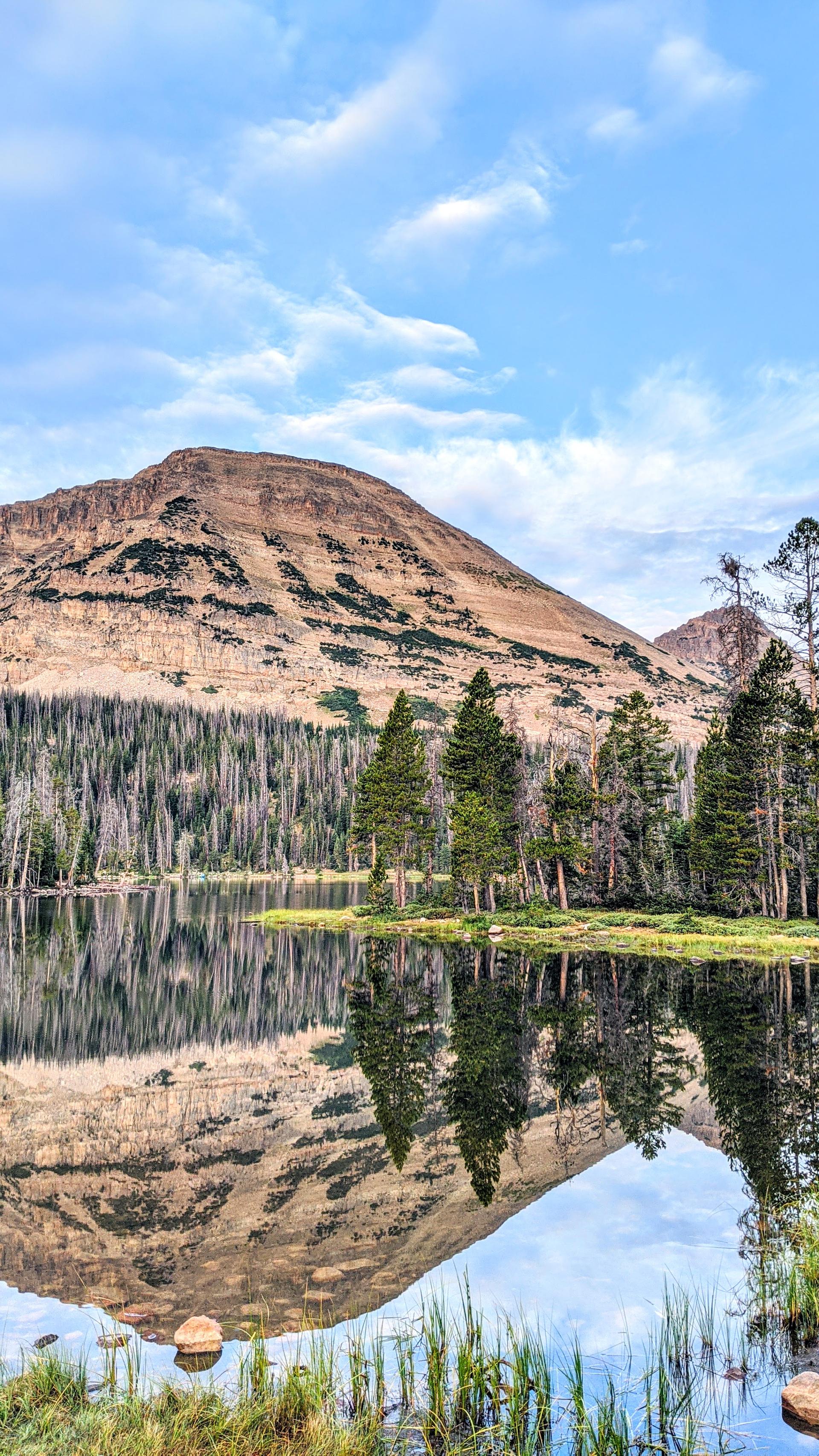
Looking beyond Weatherman’s Lookout? Discover Uinta Wasatch Cache National Forest for broader travel guides, local hot-spots, and regional highlights.
Explore Uinta Wasatch Cache National Forest
Discover the captivating beauty and rich history of The Chateau in Provo, a must-visit tourist attraction that showcases architectural elegance.
Experience the breathtaking beauty of Slate Canyon Trail, a premier hiking destination in Provo, Utah, offering diverse trails and stunning vistas.
