Ensign Peak Open Space
Ensign Peak Open Space: A Breathtaking Viewpoint in Salt Lake City

Discover breathtaking views and rich history at Ensign Peak, a must-visit park in Salt Lake City, perfect for outdoor enthusiasts and history lovers.
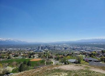
Ensign Peak is a stunning park located in Salt Lake City, offering breathtaking views of the city and surrounding mountains. A favorite among locals and tourists alike, the park features a well-maintained trail that leads to a scenic overlook, perfect for photography, picnics, and enjoying a sunset. With its rich history and serene beauty, Ensign Peak is a must-visit destination for nature enthusiasts and those looking to connect with the outdoors.
Opening times, essentials, and a few local tips gathered into one calmer, easier-to-scan planning section.
Car
If you are driving, start by navigating to Salt Lake City. From downtown Salt Lake City, head north on North Temple St toward N 400 W. Continue onto N 300 W and then take a left onto W 100 N. Merge onto I-15 N and take exit 307A for I-80 E toward Cheyenne. Merge onto I-80 E and take exit 121 toward US-89 N. Continue on US-89 N to the Ensign Peak Trailhead. The parking area is located near the trailhead at the intersection of Ensign Peak Dr and 11th Ave. There may be a small parking fee of around $2-$3, so have some change ready. Note that parking can fill up quickly, especially on weekends.
Public Transportation
To reach Ensign Peak via public transportation, first take the Utah Transit Authority (UTA) Trax Light Rail to the City Center Station. From there, transfer to bus route 9 (the 900 South route) heading towards North Temple. Get off at the stop near the intersection of North Temple and State St. From this stop, you will need to walk approximately 1.5 miles to the Ensign Peak Trailhead. Head north on State St, then turn left onto Ensign Peak Dr. Follow the road until you reach the trailhead. The bus fare is around $2.50 for a one-way trip. Make sure to check the UTA website for the latest schedules and routes.
Walking
If you are already in the Capitol Hill area or nearby neighborhoods, you can walk to Ensign Peak Trailhead. The trailhead is located at the intersection of Ensign Peak Dr and 11th Ave. From the Capitol Building, walk north on State St, and then turn left onto 11th Ave. Continue until you reach the trailhead. This walk is approximately 1 mile and should take around 20-30 minutes depending on your pace. Ensure you wear comfortable shoes as the terrain can be uneven.
Use Tower Bridge as your starting point for nearby food, family ideas, nightlife, and more local discoveries.

Explore expert travel guides, compare and book tours, experiences, hotels, and more—all from the palm of your hand. Download now for seamless trip planning wherever your wanderlust takes you.
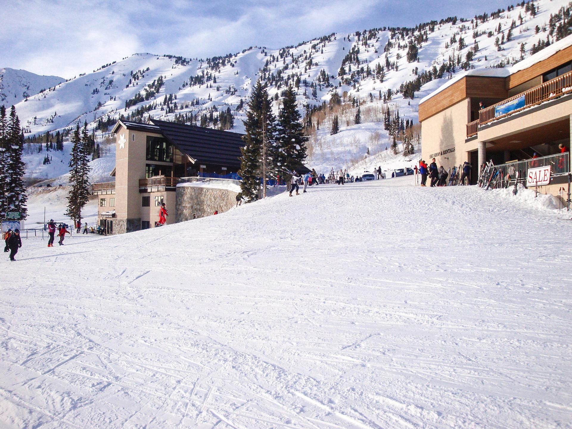
Discover the breathtaking beauty and endless outdoor adventures of the Wasatch Range in Utah, a year-round paradise for nature enthusiasts and adrenaline seekers.
Tell me more about Wasatch Range