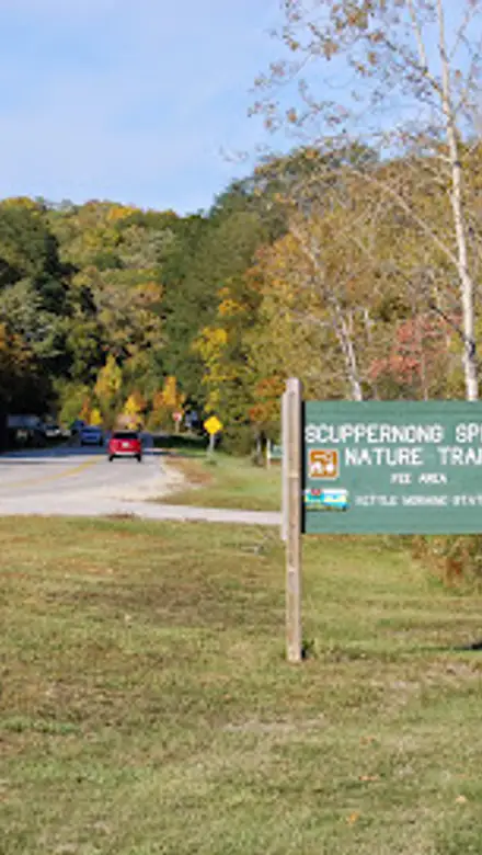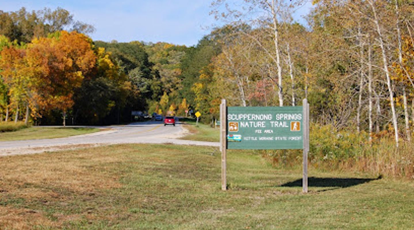
Scuppernong Trailhead, Kettle Moraine Travel Guide
Explore the scenic trails of Scuppernong Trailhead, a hiking haven in Wisconsin offering breathtaking views and a serene escape into nature's beauty.
Scuppernong Trailhead, nestled in Wisconsin, offers an idyllic escape for nature lovers and hikers. With scenic trails winding through lush landscapes, it's a perfect spot for outdoor adventures.
A brief summary to Scuppernong Trailhead
- S58 W35820 County Rd ZZ, Dousman, Wisconsin, 53118, US
- Click to display
- Click to display

Know before you go
Hi, I'm Eve. Here are a few practical things to know before exploring Scuppernong Trailhead.
- Visit early in the morning for a peaceful experience and to avoid crowds.
- Wear sturdy hiking shoes as some trails may be uneven.
- Bring plenty of water and snacks, especially if you plan to hike the longer trails.
- Keep an eye out for local wildlife, including various bird species and deer.
- Check the weather before your visit to ensure a safe and enjoyable hike.
Do you manage this location?
Take control to get all the benefits, like improved information, better appearance, and stronger visibility across AI-powered discovery. Learn more about listing your business on Evendo
Activate your presenceOther nearby places you may find interesting
The closest places of the same kind, if this one is not quite what you had in mind.
Explore Scuppernong Trailhead on the Map
A handpicked selection of must-see spots near Scuppernong Trailhead, mapped for you.
Getting There
-
Car
If you're traveling by car, start from the center of Kettle Moraine and head south on County Road ZZ. Continue driving for approximately 5 miles until you reach S58 W35820 County Rd ZZ in Dousman, WI 53118. Look for the Scuppernong Trailhead signs along the way. There is free parking available at the trailhead.
-
Public Transportation
If using public transportation, take the Waukesha Metro Transit bus to the nearest stop at Dousman (you may need to check the latest schedule for this route). From the Dousman stop, it's about a 1-mile walk to Scuppernong Trailhead. Head south on Main Street, then turn right onto County Road ZZ. Walk approximately 20 minutes until you reach the trailhead. Be aware that public transportation options might be limited, so plan accordingly.
-
Bicycle
For those who prefer to cycle, the area around Kettle Moraine has several bike-friendly routes. Start from the Kettle Moraine Scenic Drive and head south towards County Road ZZ. Follow the bike paths that lead you directly to the Scuppernong Trailhead. Make sure to wear a helmet and be cautious of traffic. Bike racks are available at the trailhead for securing your bicycle.
Discover more about Scuppernong Trailhead













Your all‑in‑one travel companion app
Explore expert travel guides, compare and book tours, experiences, hotels, and more—all from the palm of your hand. Download now for seamless trip planning wherever your wanderlust takes you.


Explore More of Kettle Moraine
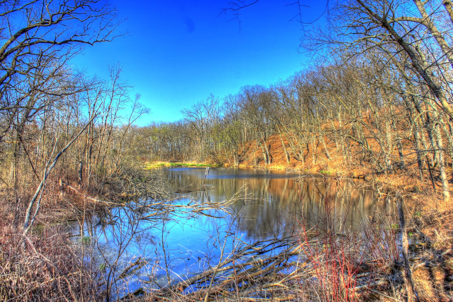
Looking beyond Scuppernong Trailhead? Discover Kettle Moraine for broader travel guides, local hot-spots, and regional highlights.
Explore Kettle Moraine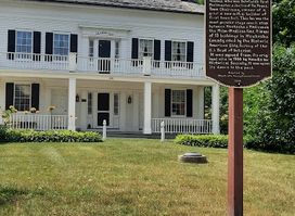
Explore the Hawks Inn Historical Society in Delafield, Wisconsin, a charming museum that showcases the rich heritage of the area through fascinating exhibits.
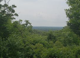
Explore the beauty and adventure of Kettle Moraine State Forest Southern Unit, where nature awaits with trails, wildlife, and serene landscapes.