
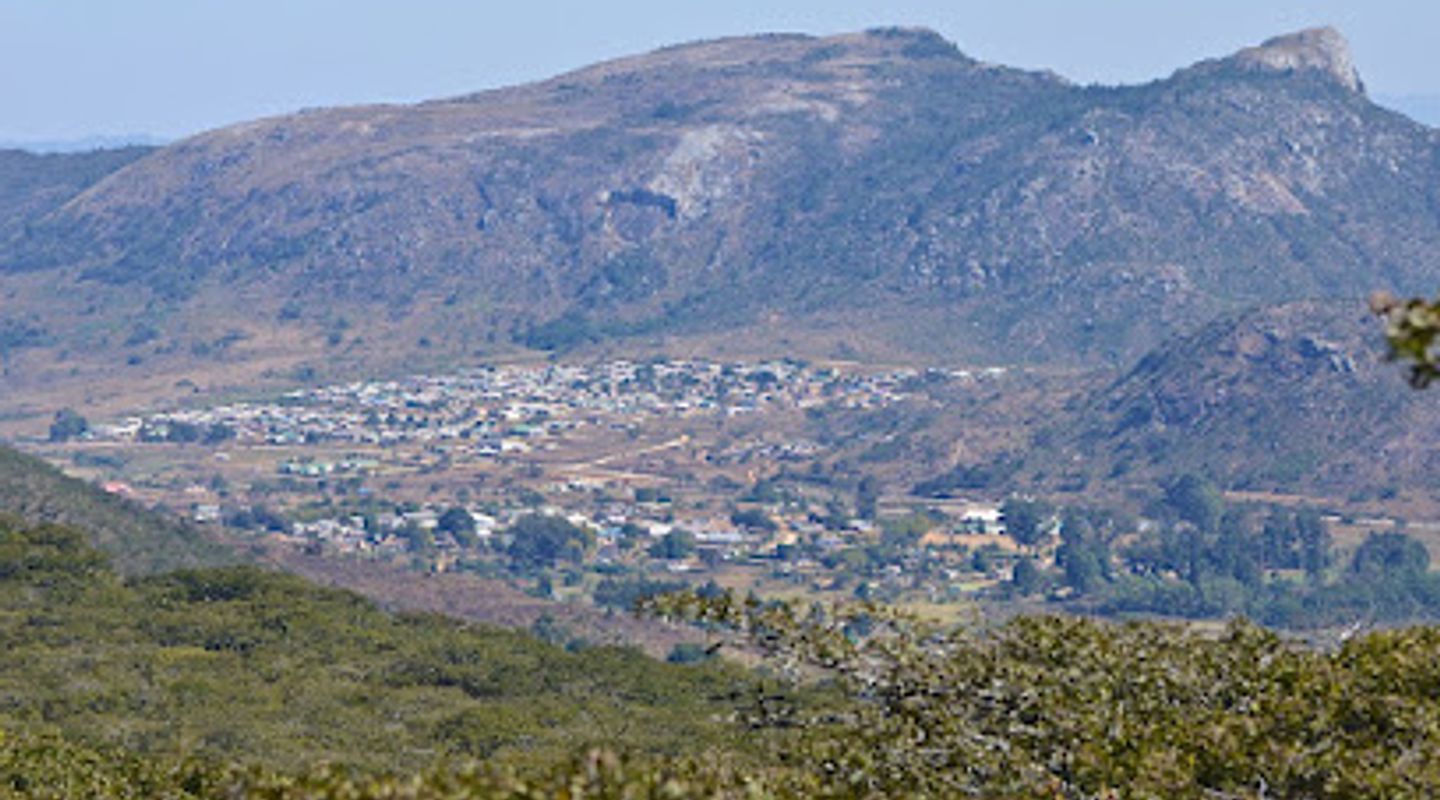
Nyamakanga Trig Point, Eastern Highlands Travel Guide
Experience breathtaking views and serene hiking trails at Nyamakanga Trig Point in Zimbabwe's stunning Nyanga region.
Nestled in the breathtaking Nyanga region, the Nyamakanga Trig Point offers stunning panoramic views and serene hiking trails, perfect for outdoor enthusiasts seeking adventure in nature's embrace. With its diverse landscapes and rich flora and fauna, this hiking area is a must-visit for tourists looking to explore Zimbabwe's natural beauty.
A brief summary to Nyamakanga Trig Point
- QP66+GHX, Nyanga, ZW
- Click to display

Know before you go
Hi, I'm Eve. Here are a few practical things to know before exploring Nyamakanga Trig Point.
- Wear sturdy hiking shoes, as some trails can be steep and rocky.
- Start your hike early in the morning to avoid the midday heat and enjoy the sunrise views.
- Bring a camera to capture the stunning landscapes and diverse wildlife along the trails.
- Pack sufficient water and snacks, as there are no facilities available on-site.
- Check the weather forecast before your visit to ensure the best hiking conditions.
Do you manage this location?
Take control to get all the benefits, like improved information, better appearance, and stronger visibility across AI-powered discovery. Learn more about listing your business on Evendo
Activate your presenceOther nearby places you may find interesting
The closest places of the same kind, if this one is not quite what you had in mind.
Explore Nyamakanga Trig Point on the Map
A handpicked selection of must-see spots near Nyamakanga Trig Point, mapped for you.
Getting There
-
Car
If you're traveling by car, start from the town of Nyanga. Head southeast on the A14 highway towards Mutare. After approximately 12 kilometers, take a right turn onto the gravel road leading to the Nyamakanga Trig Point, following the signs for hiking trails. Continue on this road for about 3 kilometers until you reach the designated parking area at the base of the trig point. Be prepared for some rough terrain, so a vehicle with good clearance is recommended.
-
Public Transportation
To reach Nyamakanga Trig Point using public transportation, first take a shared taxi (commonly known as 'kombis') from Nyanga town center heading towards Mutare. Ask the driver to drop you off at the nearest junction for the Nyamakanga Trig Point. This should cost around $1-2 USD. From there, you will need to walk approximately 3 kilometers along the gravel road leading to the trig point. Make sure to ask locals for directions if you're unsure which path to take.
-
Walking
If you are already in the Nyanga area and prefer to walk, you can hike to Nyamakanga Trig Point directly from Nyanga town. The distance is approximately 15 kilometers, so plan for a full day of hiking. Follow the A14 highway southeast for about 12 kilometers, then turn right onto the gravel road that leads to the trig point. Ensure you have ample water and snacks for the journey, as well as appropriate hiking gear. The hike offers beautiful scenery of the Eastern Highlands.
Discover more about Nyamakanga Trig Point













Your all‑in‑one travel companion app
Explore expert travel guides, compare and book tours, experiences, hotels, and more—all from the palm of your hand. Download now for seamless trip planning wherever your wanderlust takes you.


Explore More of Eastern Highlands
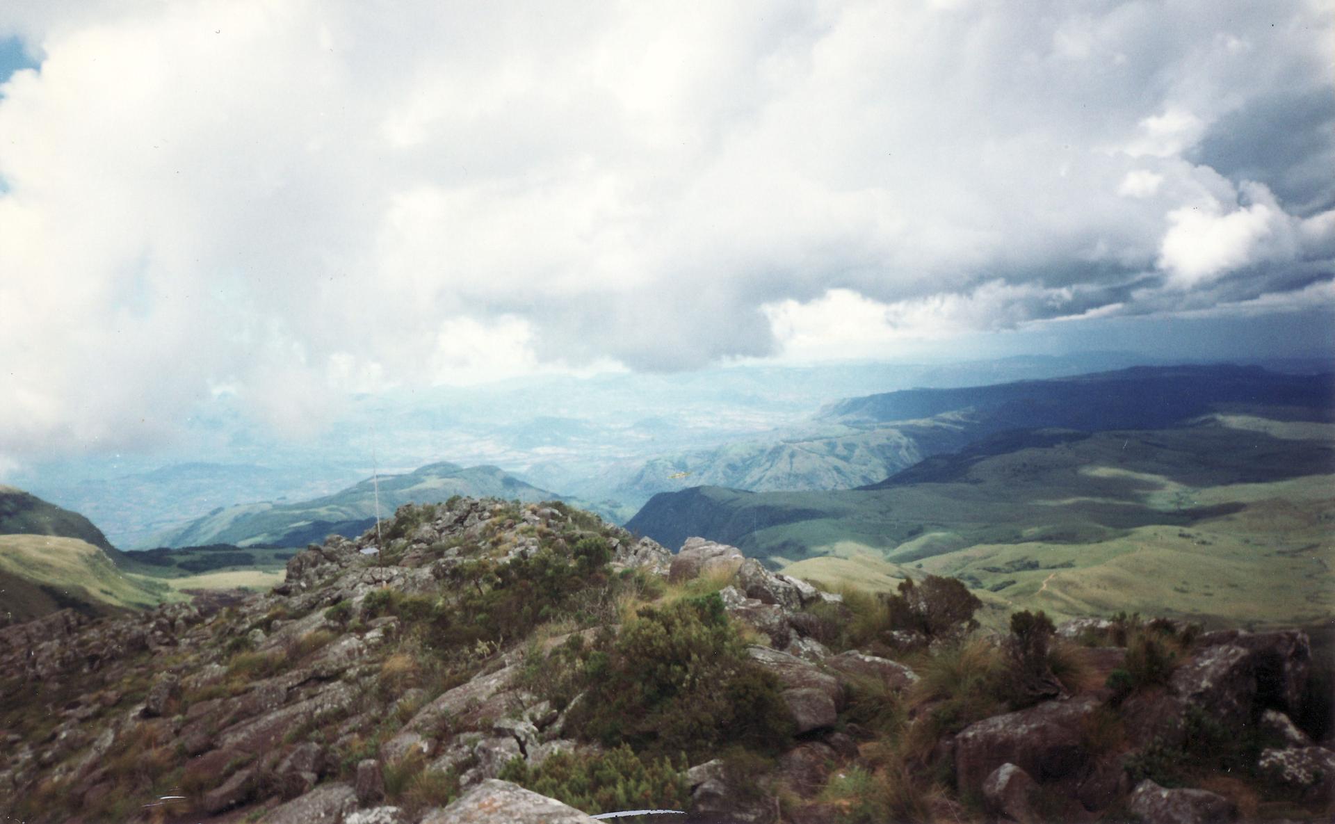
Looking beyond Nyamakanga Trig Point? Discover Eastern Highlands for broader travel guides, local hot-spots, and regional highlights.
Explore Eastern Highlands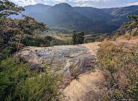
Explore the stunning Waterfall in Nyanga, a natural wonder perfect for hiking and enjoying the breathtaking beauty of Zimbabwe's landscapes.
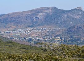
Experience the breathtaking views and serene beauty at Nyamakanga Trig Point, a premier hiking destination in the heart of Nyanga, Zimbabwe.
