From Eve
Know before you go
Hi, I'm Eve. Here are a few practical things to know before exploring McDill Point.
Local know-how to help you travel smarter and make the most of every moment.

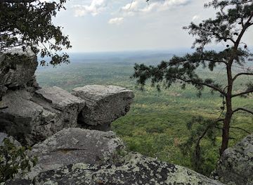
Hike the Pinhoti Trail to McDill Point for panoramic views, camping, and a historic plane crash site in Alabama's Talladega National Forest.
McDill Point, within Cheaha State Park and Talladega National Forest, offers panoramic views of Alabama's natural beauty from an elevation of 2,188 feet [2]. Hike the Pinhoti Trail to reach this vista, and explore the somber remains of a 1972 plane crash near the overlook [2, 3].
Opening times, essentials, and a few local tips gathered into one calmer, easier-to-scan planning section.
Hi, I'm Eve. Here are a few practical things to know before exploring McDill Point.
Local know-how to help you travel smarter and make the most of every moment.
Walking
From within Cheaha State Park, find the Pinhoti Trailhead near the park's main facilities [2]. Follow the well-marked Pinhoti Trail south [2]. The trail is moderately strenuous, with rocky sections and some elevation gain [2, 10]. After about 2.5 miles, look for a sign indicating the spur trail to McDill Point and follow it to the overlook [2]. No fees are required to access the trail from within the park [2].
Driving
From Cheaha State Park's main entrance, follow AL-281 North for about 2 miles [2]. Turn left onto Cheaha Road, following signs for the Cheaha Trailhead [2]. Parking is available at the trailhead, but it can fill up quickly on weekends [2]. From the Cheaha Trailhead, the hike to McDill Point is approximately 2.5 miles via the Pinhoti Trail [2]. Parking at the Cheaha Trailhead is free [2].
Use McDill Point as your starting point for nearby food, family ideas, nightlife, and more local discoveries.

Explore expert travel guides, compare and book tours, experiences, hotels, and more—all from the palm of your hand. Download now for seamless trip planning wherever your wanderlust takes you.
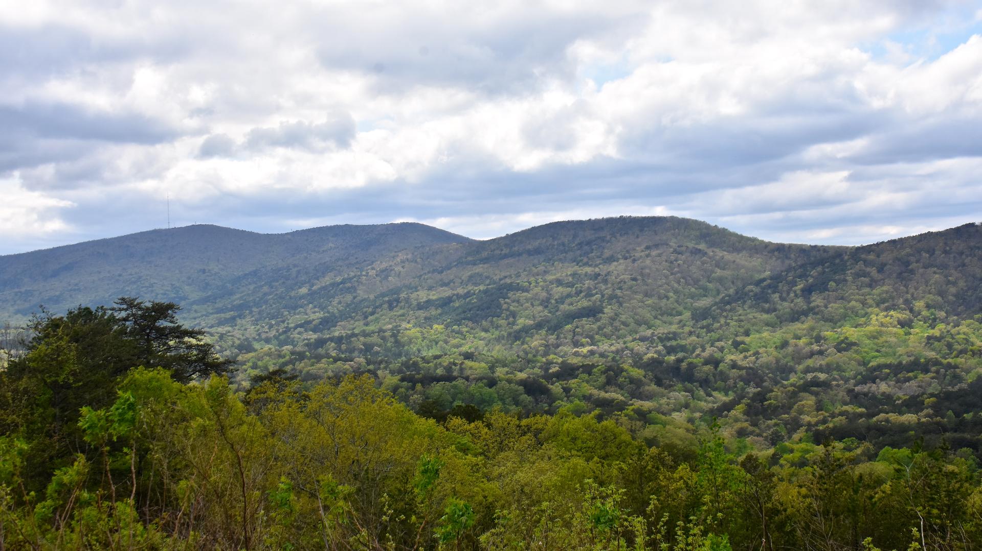
Explore the tranquil beauty and rich heritage of Alabama's Appalachian Mountains, where nature and culture blend seamlessly into an unforgettable experience.
Tell me more about Appalachian Mountains