Azrou n'Thor, Kabylia Travel Guide
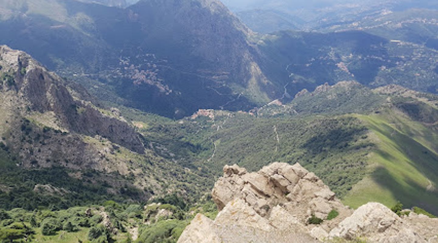
Hike to the summit of Azrou n'Thor for panoramic views and a taste of Kabylie culture in the heart of the Djurdjura Mountains.
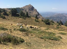
Azrou n'Thor, a mountain peak in Algeria's Kabylie region, offers stunning views and hiking trails. A white marabout (shrine) sits atop the peak, which is a destination for both pilgrims and nature lovers.
A brief summary to Azrou n'Thor
- F9QQ+MG9, Illilten, DZ

Know before you go
Hi, I'm Eve. Here are a few practical things to know before exploring Azrou n'Thor.
- Visit during the Assensi festival in August to experience local traditions and festivities.
- Wear comfortable shoes and bring water, as the terrain can be uneven.
- Check local weather conditions before your visit, as they can change rapidly in mountainous areas.
- Engage with local guides for deeper insight into the area's ecology and history.
Do you manage this location?
Take control to get all the benefits, like improved information, better appearance, and stronger visibility across AI-powered discovery. Learn more about listing your business on Evendo
Activate your presenceOther nearby places you may find interesting
The closest places of the same kind, if this one is not quite what you had in mind.

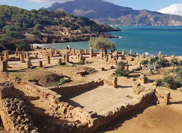

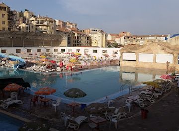
Explore Azrou n'Thor on the Map
A handpicked selection of must-see spots near Azrou n'Thor, mapped for you.
Getting There
-
Bus
From Tizi Ouzou, go to the Gare Routière (bus station) in the town center. Take a bus toward Illilten; they typically depart every hour. The ride takes 30-40 minutes. Once in Illilten, ask locals for directions to Azrou n'Thor, a short walk from the bus stop.
-
Taxi
From the Illilten bus stop, taxis are available. Negotiate the fare before starting your journey to Azrou n'Thor, a 10-15 minute ride.
-
Walking
If you're in Illilten, you can hike to Azrou n'Thor. Start at the bus stop and head north toward the mountains, following trail signs. The hike is relatively easy, taking approximately 1-2 hours.
-
Car
From M'sila, which is approximately 40 km away, take the N8 road east towards Illilten. Follow the signs for Illilten and continue driving until you reach the coordinates F9QQ+MG9. The drive should take around 45 minutes. There is no toll on this route. Upon arrival, you can park your car nearby.
Discover more about Azrou n'Thor













Your all‑in‑one travel companion app
Explore expert travel guides, compare and book tours, experiences, hotels, and more—all from the palm of your hand. Download now for seamless trip planning wherever your wanderlust takes you.


Explore More of Kabylia
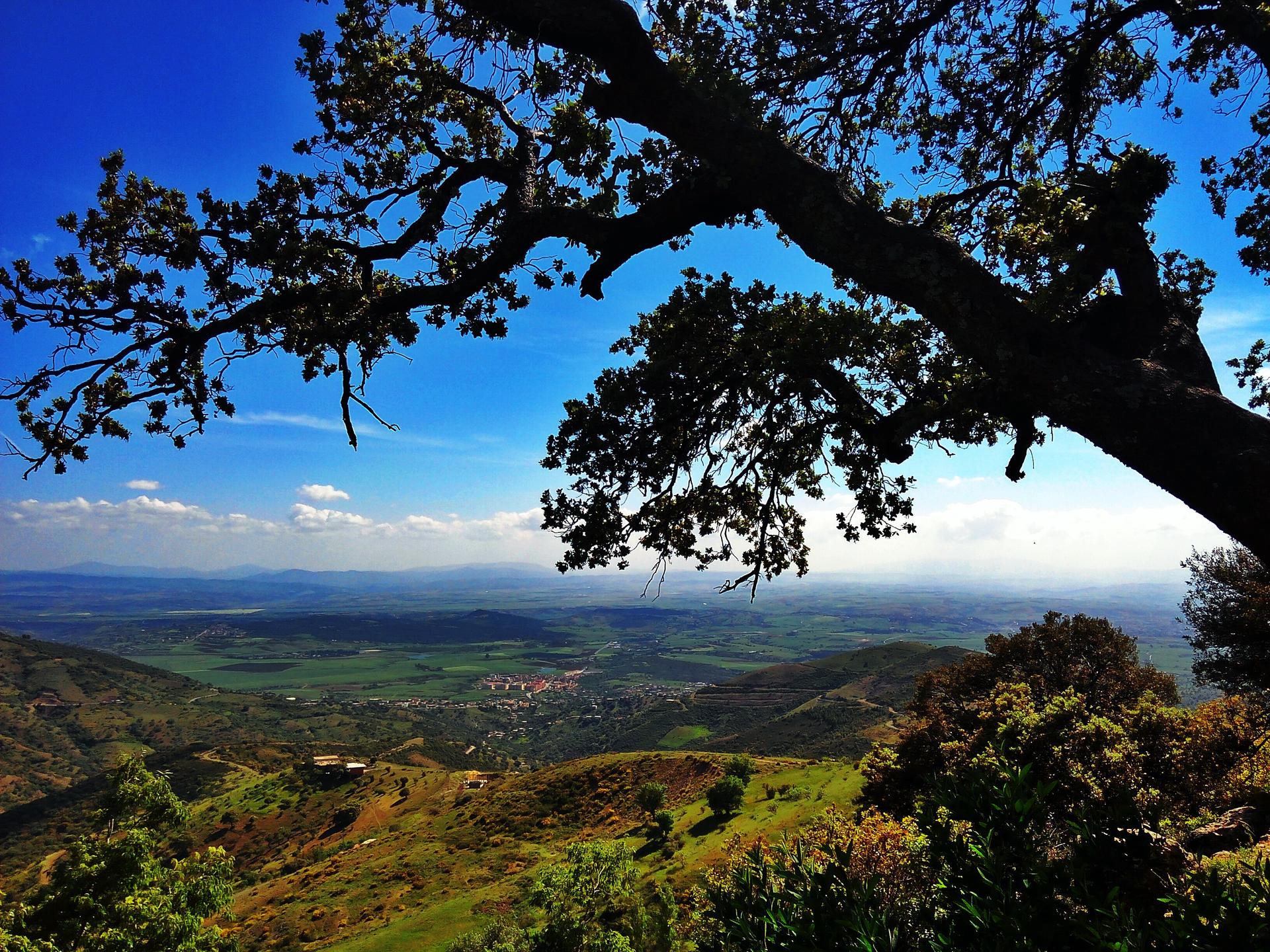
Looking beyond Azrou n'Thor? Discover Kabylia for broader travel guides, local hot-spots, and regional highlights.
Explore Kabylia