From Eve
Know before you go
Hi, I'm Eve. Here are a few practical things to know before exploring Tektite Trailhead.
Local know-how to help you travel smarter and make the most of every moment.
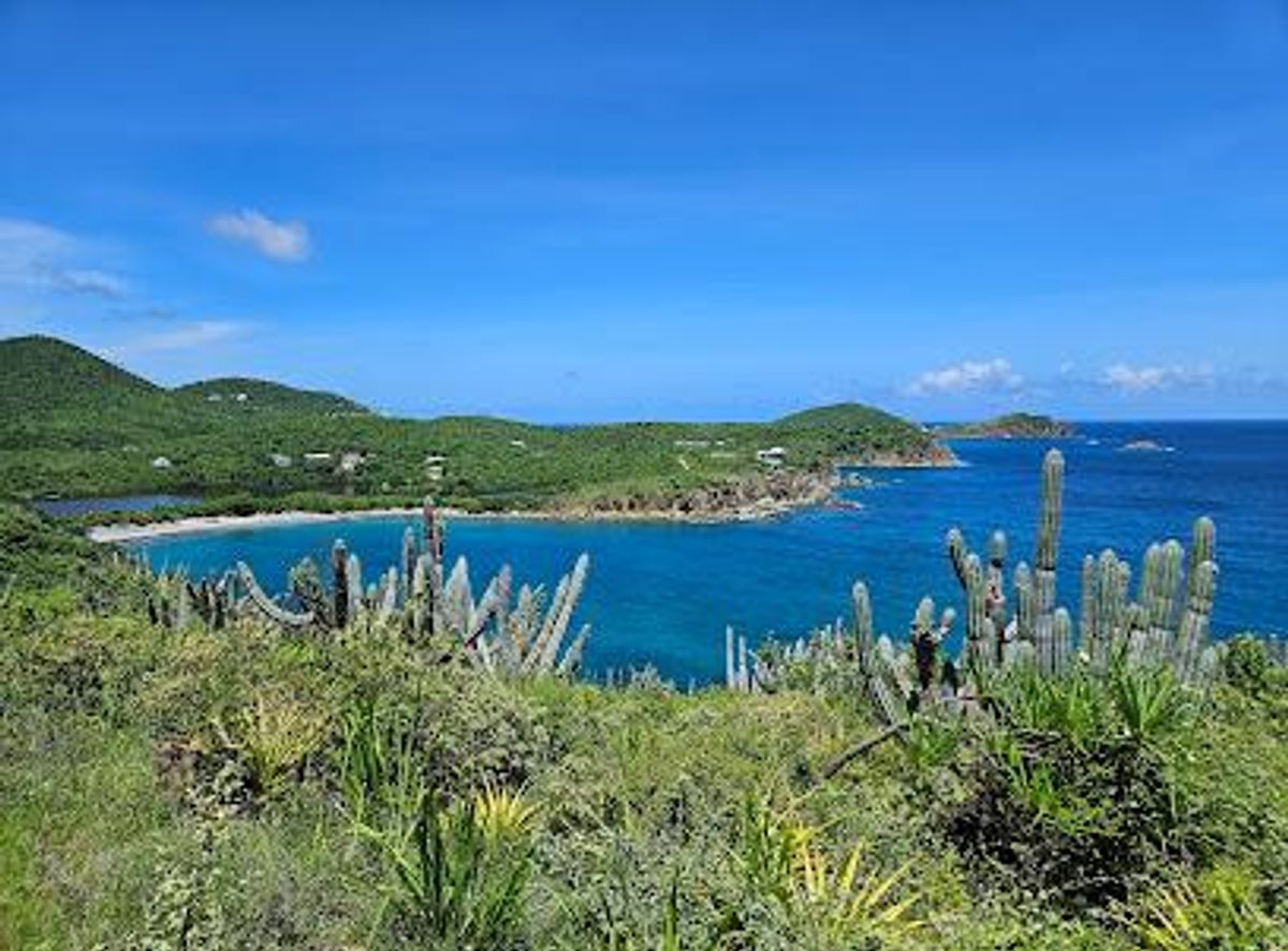
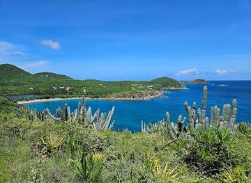
Hike the Tektite Trail for stunning St. John views and a glimpse into the island's fascinating underwater research history.
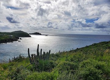
The Tektite Trailhead marks the start of a scenic 0.7-mile hike on St. John, offering a blend of historical intrigue and stunning coastal vistas. Named after the 1960s underwater research project, the trail leads to panoramic views and a connection to the island's unique past.
Opening times, essentials, and a few local tips gathered into one calmer, easier-to-scan planning section.
Hi, I'm Eve. Here are a few practical things to know before exploring Tektite Trailhead.
Local know-how to help you travel smarter and make the most of every moment.
Driving
From Cruz Bay, take Route 107 east towards Coral Bay. Continue past Coral Bay, and follow Route 107 south. After passing Mandal Estate Road, the road becomes unpaved and rough. A high-clearance vehicle, preferably with 4WD, is recommended. Continue on the dirt road to the Tektite Trailhead, located on the right side of Lameshur Road at the first switchback. Parking is limited; only 1 or 2 vehicles can park near the trailhead. There are no parking fees.
Walking
The Tektite Trailhead is located in a remote area of St. John, so walking from Cruz Bay or Coral Bay is not recommended due to the distance and challenging terrain. However, if you are already in the Lameshur Bay area, you can walk to the trailhead from nearby beaches or campsites. From Great Lameshur Bay, walk north along the road. The trailhead is located on the right side of Lameshur Road at the first switchback. Be prepared for a steep uphill walk to the trailhead.
Use Tower Bridge as your starting point for nearby food, family ideas, nightlife, and more local discoveries.

Explore expert travel guides, compare and book tours, experiences, hotels, and more—all from the palm of your hand. Download now for seamless trip planning wherever your wanderlust takes you.
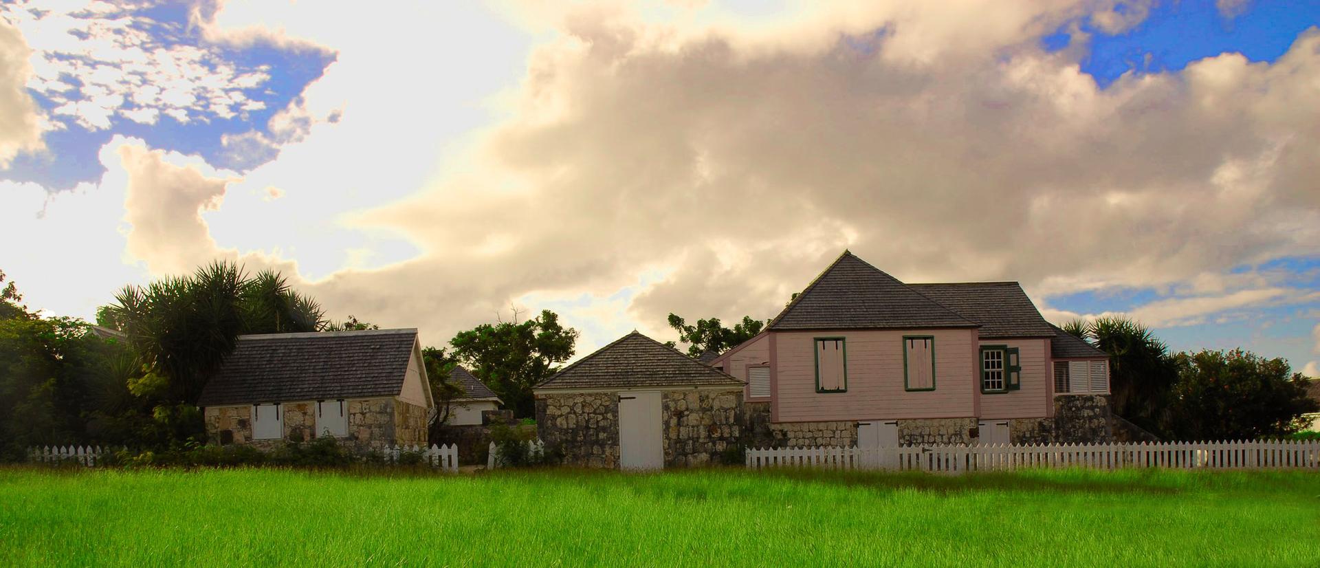
Explore The Valley, Anguilla: A blend of history, culture, and natural beauty in the heart of the Caribbean. Discover tranquil landscapes, local cuisine, and rich heritage.
Tell me more about The Valley