

Apache-Sitgreaves National Forests, Apache County Travel Guide
Discover Arizona's Apache-Sitgreaves National Forests: Hike scenic trails, fish in pristine lakes, and explore a vast mountain wilderness.
Escape to the cool highlands of east-central Arizona in the Apache-Sitgreaves National Forests, a vast wilderness of diverse ecosystems, pristine lakes, and nearly 1,000 miles of trails. Discover the iconic Mogollon Rim, abundant wildlife, and a rich history etched in ancient rock art.
A brief summary to Apache-Sitgreaves National Forests
- 30 South Chiricahua Drive, Springerville, Arizona, 85938, US
- Click to display
- Click to display

Know before you go
Hi, I'm Eve. Here are a few practical things to know before exploring Apache-Sitgreaves National Forests.
- Pack layers, as temperatures can vary greatly with elevation and time of day.
- Bring plenty of water, especially when hiking, as the high altitude can be dehydrating.
- Check fire restrictions and weather conditions before heading out, especially during dry seasons.
- Be aware of wildlife and take necessary precautions, such as storing food properly.
- Purchase firewood locally to prevent the spread of tree-killing pests.
Do you manage this location?
Take control to get all the benefits, like improved information, better appearance, and stronger visibility across AI-powered discovery. Learn more about listing your business on Evendo
Activate your presenceOther nearby places you may find interesting
The closest places of the same kind, if this one is not quite what you had in mind.
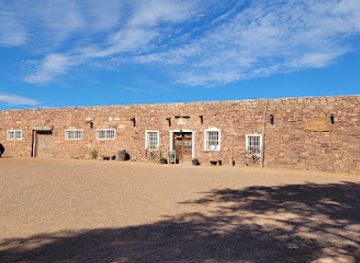
Explore Apache-Sitgreaves National Forests on the Map
A handpicked selection of must-see spots near Apache-Sitgreaves National Forests, mapped for you.
Getting There
-
Driving
The Apache-Sitgreaves National Forests are accessible by car from several major cities. From Phoenix, take AZ-87 N to AZ-260 E. From Tucson, take I-10 to AZ-87 N. From Albuquerque, take I-40 W to US-60 W and US-180 E/US-191 S. Road conditions vary, so check before you go. Parking is available throughout the forests, with some developed sites charging a small fee. Camping and recreational vehicle amenities also require fees. Contact the local Ranger District for specific information.
-
Public Transport
Limited public transportation is available to the Apache-Sitgreaves National Forests. Greyhound buses connect to nearby towns such as Bylas and Show Low. From there, local transport options may be arranged. Check local transit schedules and plan accordingly.
Discover more about Apache-Sitgreaves National Forests
More to explore near Apache-Sitgreaves National Forests
-

Best experiences near Apache-Sitgreaves National Forests
-

Best hotels near Apache-Sitgreaves National Forests
-

Best attractions near Apache-Sitgreaves National Forests
-

Best shops near Apache-Sitgreaves National Forests
-

Best restaurants near Apache-Sitgreaves National Forests
-

Best bars near Apache-Sitgreaves National Forests







Your all‑in‑one travel companion app
Explore expert travel guides, compare and book tours, experiences, hotels, and more—all from the palm of your hand. Download now for seamless trip planning wherever your wanderlust takes you.


Explore More of Apache County
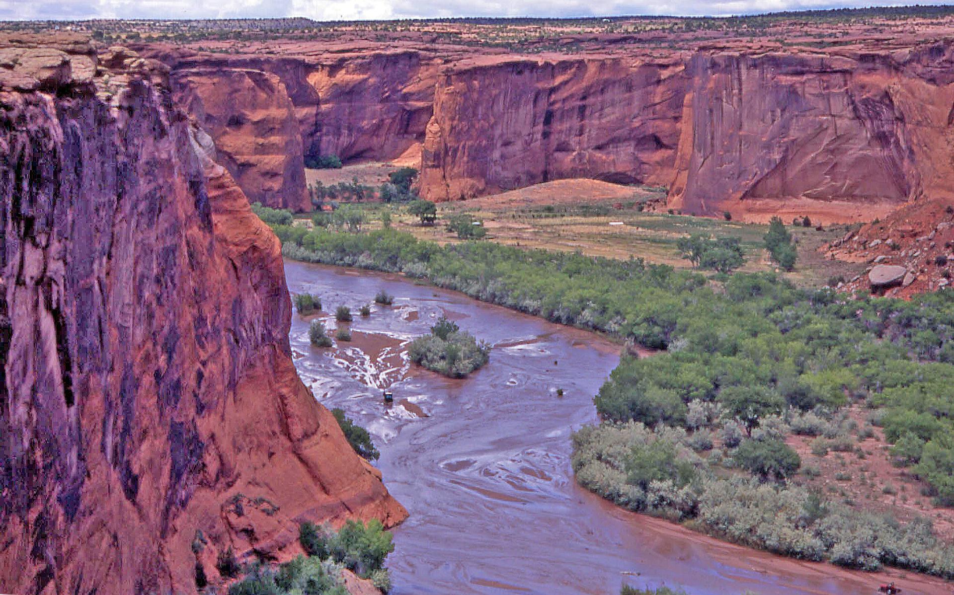
Looking beyond Apache-Sitgreaves National Forests? Discover Apache County for broader travel guides, local hot-spots, and regional highlights.
Explore Apache County
Immerse yourself in the captivating culture and stunning landscapes of the White Mountain Apache Tribe in Arizona's historic Whiteriver.
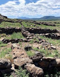
Discover ancient Mogollon culture at Casa Malpais Archaeological Park & Museum in Springerville, Arizona. Guided tours showcase remarkable ruins and artifacts.
