Mazatzal Wilderness
Mazatzal Wilderness: Arizona's Rugged Escape

Hike through diverse landscapes to stunning vistas and seasonal waterfalls on this challenging trail in the Mazatzal Wilderness.
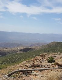
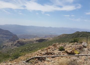
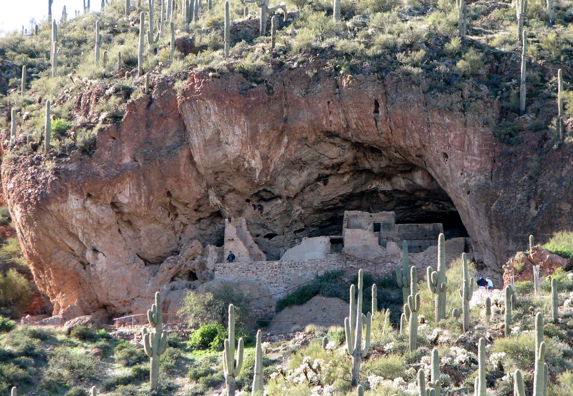
The Barnhardt Trail, nestled in Arizona's Tonto National Forest, offers a challenging yet rewarding hike into the Mazatzal Wilderness. Known for its scenic beauty, diverse terrain, and seasonal waterfalls, this trail provides a fantastic escape into nature for experienced hikers.
Opening times, essentials, and a few local tips gathered into one calmer, easier-to-scan planning section.
Driving
From Payson, Arizona, drive south on State Route 87 (the Beeline Highway) for approximately 12 miles. Turn right onto Forest Road 419 (Barnhardt Road), where you'll see a sign for the trailhead. Follow FR 419, a graded dirt road, for about 5.1 miles to the Barnhardt Trailhead parking area. The dirt road is generally suitable for passenger vehicles, but high clearance may be needed depending on conditions. Parking is free at the trailhead. Note that there are no facilities at the trailhead.
Walking
From the Barnhardt Trailhead parking area, the Barnhardt Trail #43 is well-marked with a large information sign. Head directly back from the sign, passing through a livestock gate to begin your hike. Be sure to stay on the Barnhardt Trail, as other trails originate from the same parking area. The trail begins with a rocky path that steadily ascends into Barnhardt Canyon.
Use Barnhardt Trail as your starting point for nearby food, family ideas, nightlife, and more local discoveries.

Explore expert travel guides, compare and book tours, experiences, hotels, and more—all from the palm of your hand. Download now for seamless trip planning wherever your wanderlust takes you.
Discover Gila County: A blend of natural beauty, rich history, and outdoor adventures in Arizona's heartland.
Tell me more about Gila County