The Lost Ranch, Maricopa County Travel Guide
Explore the mysterious Lost Ranch Ruins in Phoenix's South Mountain Park, where history and desert scenery intertwine.
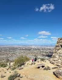
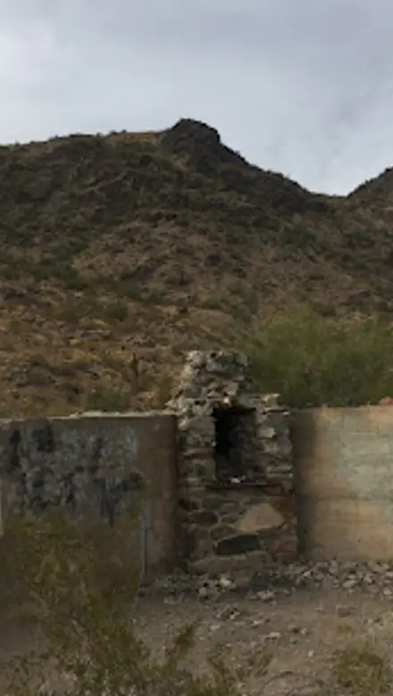
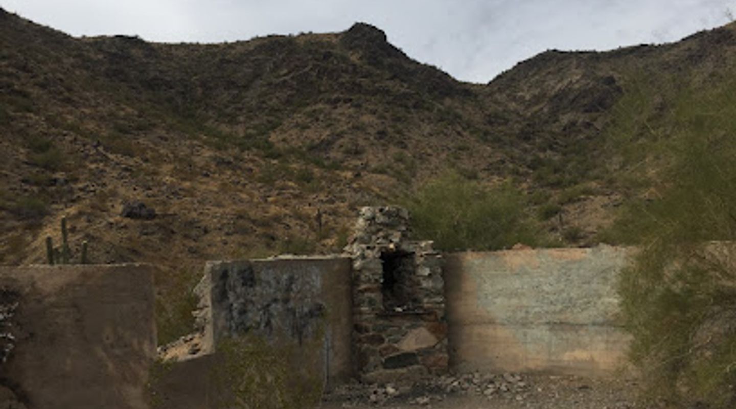
Tucked away in South Mountain Park, Phoenix, the Lost Ranch is a collection of stone ruins shrouded in mystery. Its original purpose and builders are unknown, fueling speculation about its past, from a miner's bunkhouse to a Prohibition-era speakeasy. Hiking to the site offers a glimpse into the area's intriguing history and scenic desert landscape.
A brief summary to The Lost Ranch
- Lost Ranch Road, Phoenix, Ahwatukee Foothills Village, Arizona, 85045, US
- Monday 5 am-11 pm
- Tuesday 5 am-11 pm
- Wednesday 5 am-11 pm
- Thursday 5 am-11 pm
- Friday 5 am-11 pm
- Saturday 5 am-11 pm
- Sunday 5 am-11 pm

Know before you go
Hi, I'm Eve. Here are a few practical things to know before exploring The Lost Ranch.
- Bring plenty of water, especially during the warmer months, as the desert climate can be harsh.
- Wear sturdy hiking shoes, as the trails can be rocky and uneven.
- Consider hiking early in the morning or late in the afternoon to avoid the midday heat and enjoy the sunset views.
- Download a trail map or use a GPS app to navigate the various intersecting trails in South Mountain Park.
Do you manage this location?
Take control to get all the benefits, like improved information, better appearance, and stronger visibility across AI-powered discovery. Learn more about listing your business on Evendo
Activate your presenceOther nearby places you may find interesting
The closest places of the same kind, if this one is not quite what you had in mind.
Explore The Lost Ranch on the Map
A handpicked selection of must-see spots near The Lost Ranch, mapped for you.
Getting There
-
Walking
The Lost Ranch Ruins are accessed via hiking trails within South Mountain Park. From the Pyramid Trailhead (located at the end of Chandler Boulevard), take the Pyramid Trail. The Lost Ranch Ruins Trail branches off from the Pyramid Trail. Follow signs for the Lost Ranch Ruins Trail. The hike to the ruins is approximately 1.6 miles and involves a moderate climb. No fees are required for hiking in South Mountain Park.
-
Public Transport
While public transportation doesn't directly reach the Pyramid Trailhead, the Valley Metro Route 56 stops near the intersection of 24th Street and Chandler Boulevard. From there, it's approximately a 30-40 minute walk (about 2 miles) to the trailhead. A one-way fare on Valley Metro is $2.00. Consider using a ride-sharing service from the bus stop to the trailhead for a quicker and more convenient option.
-
Taxi/Ride-share
From downtown Phoenix or Sky Harbor International Airport, a taxi or ride-sharing service (Uber/Lyft) to the Pyramid Trailhead is the most direct option. The ride is approximately 15-20 minutes from the airport and 20-30 minutes from downtown, depending on traffic. Expect to pay around $20-30 for a one-way trip from the airport and $25-40 from downtown.
Discover more about The Lost Ranch













Your all‑in‑one travel companion app
Explore expert travel guides, compare and book tours, experiences, hotels, and more—all from the palm of your hand. Download now for seamless trip planning wherever your wanderlust takes you.


Explore More of Maricopa County
Looking beyond The Lost Ranch? Discover Maricopa County for broader travel guides, local hot-spots, and regional highlights.
Explore Maricopa County