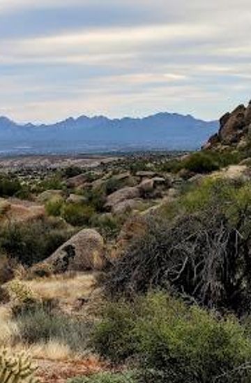

Explore the Scenic Beauty of Marcus Landslide Trail
Discover the breathtaking landscapes and geological wonders along the Marcus Landslide Trail in North Scottsdale, Arizona, perfect for hikers and nature lovers.
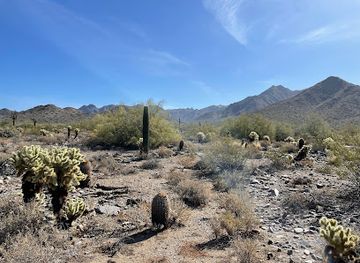
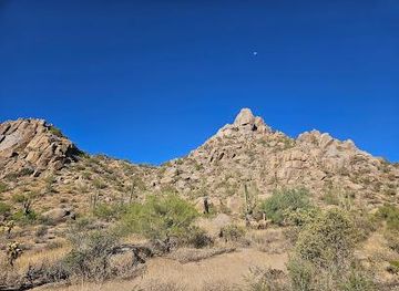
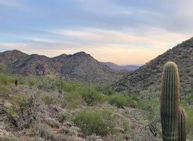
Nestled in the picturesque North Scottsdale, the Marcus Landslide Trail offers tourists a breathtaking hiking experience with stunning desert landscapes and fascinating geological formations. This trail is perfect for both casual walkers and avid hikers, providing a unique opportunity to immerse yourself in Arizona's natural beauty.
A brief summary to Marcus Landslide Trail
- Scottsdale, North Scottsdale, Arizona, 85255, US
Local tips
- Wear sturdy hiking shoes to navigate the rocky terrain safely.
- Bring plenty of water, especially during the warmer months.
- Visit early in the morning or later in the afternoon to avoid the heat and enjoy cooler temperatures.
- Don’t forget your camera; the views are picturesque and perfect for photos.
- Check the weather before your visit to ensure a safe hiking experience.

Do you manage this location?
Take control to get all the benefits, like improved information, better appearance, and stronger visibility across AI-powered discovery. Learn more
Activate your presence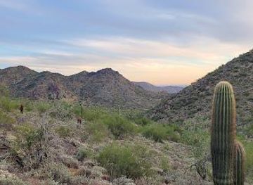
Getting There
-
Public Bus
To reach the Marcus Landslide Trail, first, locate the nearest Valley Metro bus stop. You can catch bus route 56 which travels north along Scottsdale Road. Board the bus and ride it until you reach the stop at E Deer Valley Drive. From there, transfer to bus route 185 heading towards E Bell Road. Get off at the stop near N 64th St. and E Deer Valley Dr. Walk east on E Deer Valley Dr. for about 0.5 miles until you reach the trailhead.
-
Bicycle
If you prefer cycling, rent a bike from one of the local rental shops in downtown Scottsdale. Start heading north on the Arizona Canal Path, which connects to the trail system. Continue on the path until you reach N 64th St. and then take a left. Cycle for approximately 1 mile, and you will arrive at the Marcus Landslide Trail entrance, which is clearly marked.
-
Walking
If you are staying in the nearby area, walking to the Marcus Landslide Trail is a great option. Start from the nearest landmark or hotel, head north on Scottsdale Rd. until you reach E Bell Rd. Turn left and continue walking until you see the signs for the trail on your right. It’s about a 1.5-mile walk, so wear comfortable shoes and bring water!
-
Ride Share
You can use ride-sharing services like Uber or Lyft to get to the Marcus Landslide Trail. Simply open the app, set your pickup location in Scottsdale, and enter the destination as 'Marcus Landslide Trail, Scottsdale, AZ 85255'. The drivers are familiar with the area, and it should take about 10-15 minutes depending on traffic.
Discover more about Marcus Landslide Trail
Explore the best of what Marcus Landslide Trail has to offer















More about Scottsdale

Discover Scottsdale, where the beauty of the Sonoran Desert meets luxury resorts, vibrant arts, and rich cultural heritage in Arizona's premier destination.
Tell me more about Scottsdale
Experience the ultimate selfie adventure at the Scottsdale Selfie Museum, where creativity and fun collide in interactive photo opportunities.
Explore the beautiful Gateway Loop Trail in Scottsdale, Arizona, a scenic hiking path surrounded by breathtaking desert landscapes and rich wildlife.