
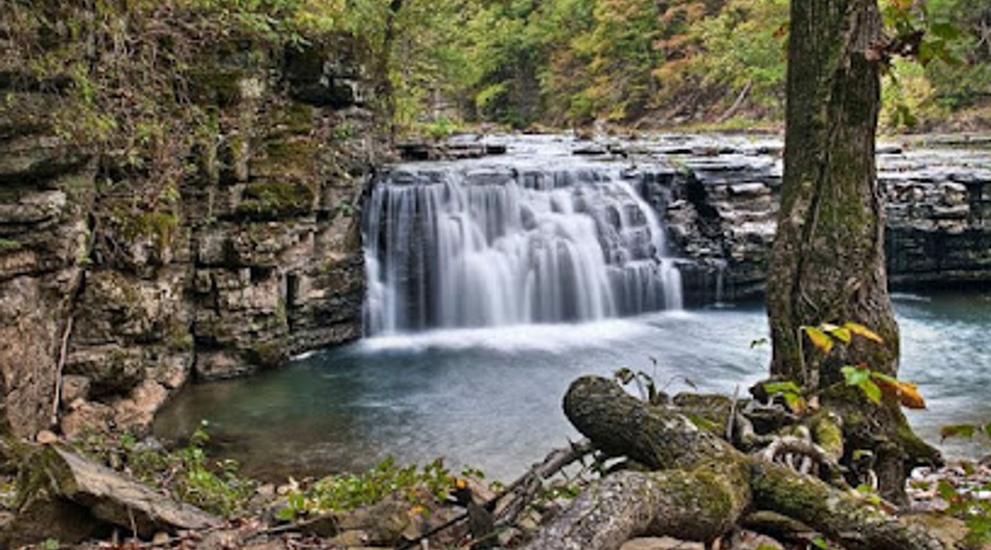
Richland Falls, Buffalo National River Travel Guide
Experience the natural beauty of Richland Falls, a wide and wonderful waterfall in the heart of Arkansas' Ozark Mountains.
Richland Falls, located in the Richland Creek Wilderness of the Ozark National Forest, is a stunning natural waterfall known for its impressive width and scenic beauty. The falls cascade across the entire creek bed, creating a breathtaking spectacle, especially after rainfall.
A brief summary to Richland Falls
- Richland Creek Trail, Pelsor, Arkansas, 72856, US

Know before you go
Hi, I'm Eve. Here are a few practical things to know before exploring Richland Falls.
- Visit after a rainfall to witness Richland Falls at its most spectacular, with water flowing powerfully across its entire width.
- Wear appropriate footwear for hiking and creek crossings, as the trail can be slippery and involve wading.
- Bring a map and compass or GPS device, as the trails in the Richland Creek Wilderness are not always well-marked.
- Consider visiting during the spring or fall for pleasant temperatures and vibrant foliage.
Do you manage this location?
Take control to get all the benefits, like improved information, better appearance, and stronger visibility across AI-powered discovery. Learn more about listing your business on Evendo
Activate your presenceOther nearby places you may find interesting
The closest places of the same kind, if this one is not quite what you had in mind.

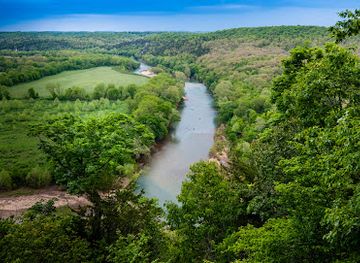
Explore Richland Falls on the Map
A handpicked selection of must-see spots near Richland Falls, mapped for you.
Getting There
-
Driving
From the Richland Creek Campground, the most common starting point, reaching Richland Falls involves navigating unpaved Forest Service Roads. From the campground, follow the main path west, crossing Falling Water Creek. Continue along the Richland Creek Trail for approximately 2 miles until you reach the confluence of Devil's Fork Creek. From there, proceed straight for about a quarter of a mile, where you'll find Richland Falls. Be prepared for potentially rough road conditions and limited parking at the trailhead. There are no fees for access or parking.
-
Walking
The final approach to Richland Falls is primarily on foot. From the parking area near Richland Creek Campground, follow the well-trodden path that leads west, which immediately requires crossing Falling Water Creek. Continue on the main trail, following Richland Creek. The path meanders for approximately 2 miles to the confluence of Richland Creek and Long Devil's Fork. Stay on the trail that bends left with Richland Creek and heads uphill. After a steep climb, the trail snakes along the hillside for a short distance before descending back to the creek at Richland Falls. Expect to encounter uneven terrain, creek crossings, and some steep inclines. The walk from the parking area to the falls is roughly 2.5 miles and can take 1.5-2 hours.
Discover more about Richland Falls













Your all‑in‑one travel companion app
Explore expert travel guides, compare and book tours, experiences, hotels, and more—all from the palm of your hand. Download now for seamless trip planning wherever your wanderlust takes you.


Explore More of Buffalo National River
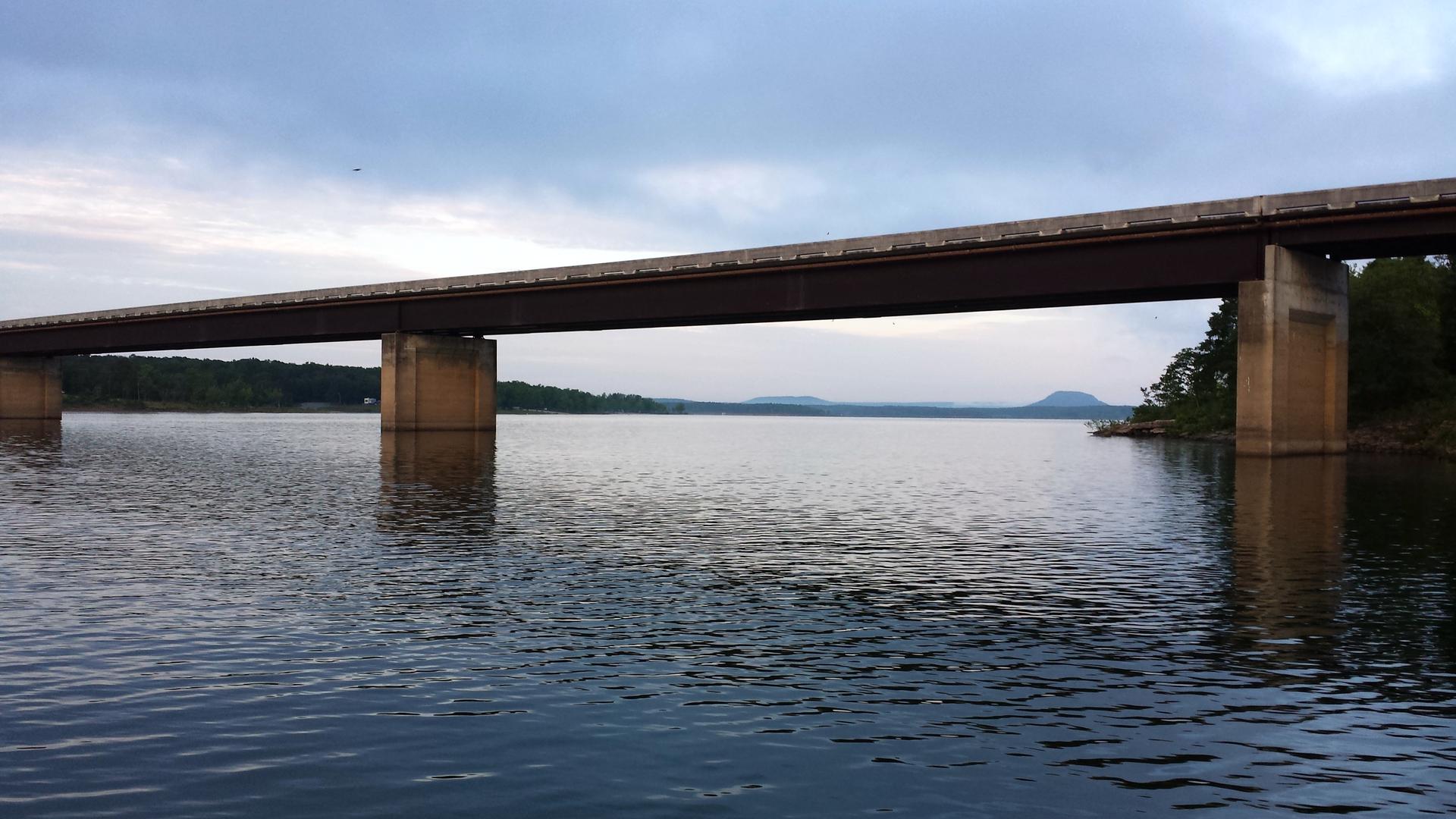
Looking beyond Richland Falls? Discover Buffalo National River for broader travel guides, local hot-spots, and regional highlights.
Explore Buffalo National River
Step back in time at the Buffalo River Historic Jail & Museum, exploring local history in a beautifully restored 1902 jail.
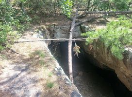
Explore unique rock formations and breathtaking views at Pedestal Rocks & Kings Bluff Trailhead in the heart of the Ozark National Forest.
