Mount Magazine State Park, Delta Travel Guide
Discover Arkansas's highest peak: panoramic views, outdoor adventures, and rich history await at Mount Magazine State Park.
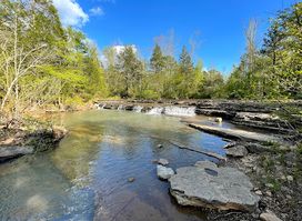
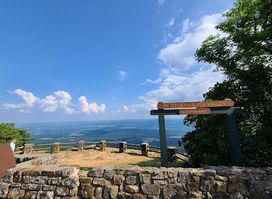
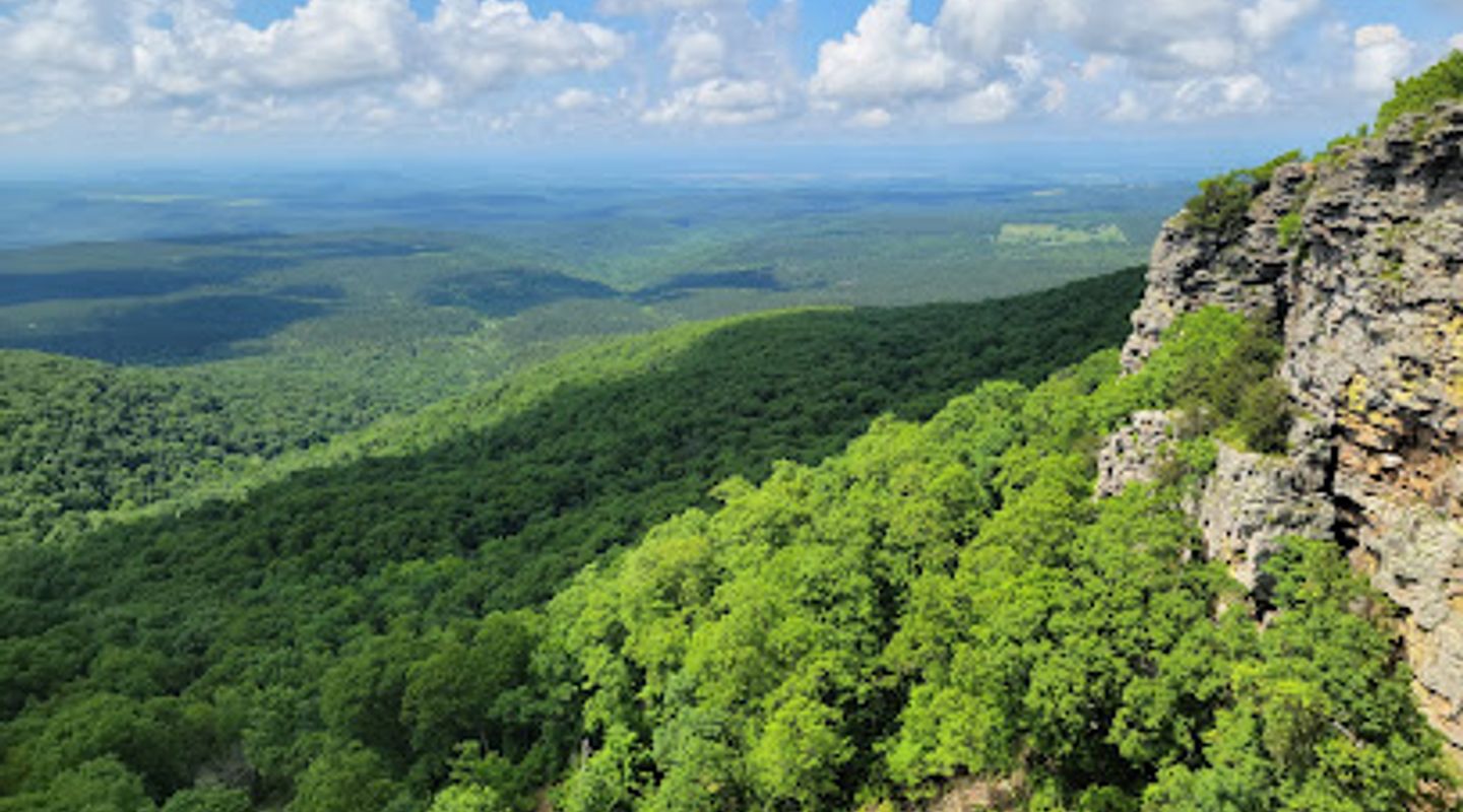
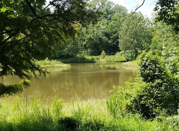
Ascend to the highest point in Arkansas at Mount Magazine State Park, a natural wonderland offering breathtaking panoramic views, diverse recreational activities, and a rich history. Explore scenic trails, enjoy the comfort of The Lodge at Mount Magazine, and discover the unique flora and fauna of this mountain paradise.
A brief summary to Mount Magazine State Park
- 577 Lodge Dr, Paris, Arkansas, 72855, US
- Click to display
- Click to display
- Monday 6 am-10 pm
- Tuesday 6 am-10 pm
- Wednesday 6 am-10 pm
- Thursday 6 am-10 pm
- Friday 6 am-10 pm
- Saturday 6 am-10 pm
- Sunday 6 am-10 pm

Know before you go
Hi, I'm Eve. Here are a few practical things to know before exploring Mount Magazine State Park.
- Visit the park's visitor center to learn about the mountain's history, geology, and wildlife.
- Hike the Signal Hill Trail to reach the highest point in Arkansas and enjoy panoramic views.
- Enjoy a meal with a view at the Skycrest Restaurant in The Lodge at Mount Magazine.
- Bring your camera to capture the stunning sunsets and diverse flora and fauna.
- Check the park's event calendar for guided walks, workshops, and other special programs.
Do you manage this location?
Take control to get all the benefits, like improved information, better appearance, and stronger visibility across AI-powered discovery. Learn more about listing your business on Evendo
Activate your presenceOther nearby places you may find interesting
The closest places of the same kind, if this one is not quite what you had in mind.


Explore Mount Magazine State Park on the Map
A handpicked selection of must-see spots near Mount Magazine State Park, mapped for you.
Getting There
-
Driving
Mount Magazine State Park is accessible via Arkansas Highway 309, also known as the Mount Magazine Scenic Byway. From Paris, Arkansas, travel south on Highway 309 for approximately 16 miles. From Danville, take Arkansas Highway 10 west to Havana, then travel north on Highway 309 for 10 miles. Once on the mountain, follow signs to the visitor center, lodge, or other park facilities. Parking is free throughout the park.
Discover more about Mount Magazine State Park
More to explore near Mount Magazine State Park













Your all‑in‑one travel companion app
Explore expert travel guides, compare and book tours, experiences, hotels, and more—all from the palm of your hand. Download now for seamless trip planning wherever your wanderlust takes you.


Explore More of Delta
Looking beyond Mount Magazine State Park? Discover Delta for broader travel guides, local hot-spots, and regional highlights.
Explore Delta