Magnolia Falls, Ozark Mountains Travel Guide
Discover the serene beauty of Magnolia Falls in Arkansas' Ozark National Forest: a scenic hike to a hidden waterfall and grotto.
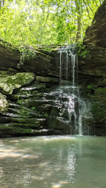
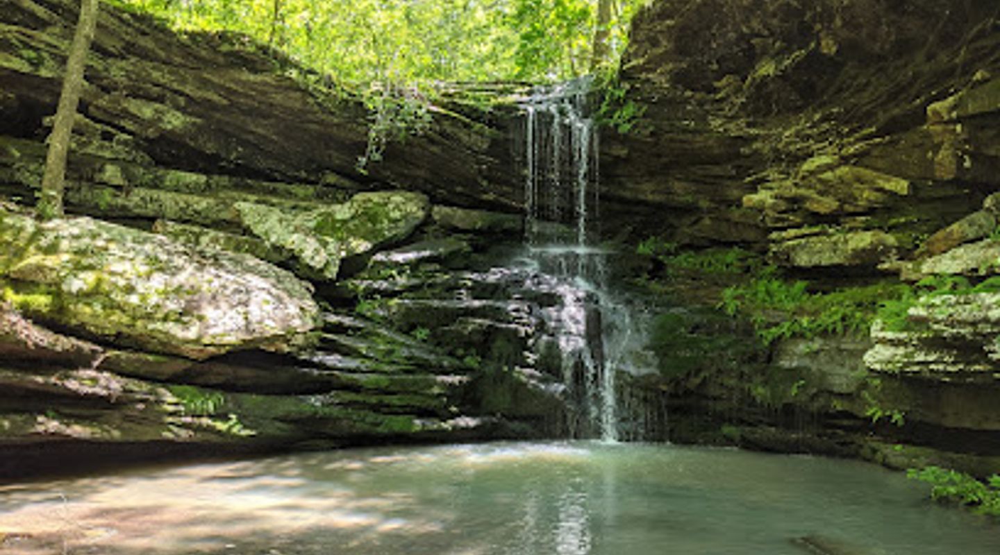
Magnolia Falls, nestled in the Upper Buffalo Wilderness near Deer, Arkansas, is a captivating 26-foot waterfall that cascades into a serene grotto. The moderate 2.1-mile roundtrip hike to the falls offers scenic beauty, including a historic stone wall and unique rock formations. It's a rewarding experience for nature lovers seeking a tranquil escape.
A brief summary to Magnolia Falls
- Deer, Arkansas, 72628, US

Know before you go
Hi, I'm Eve. Here are a few practical things to know before exploring Magnolia Falls.
- Download an offline map of the area, as cell service can be unreliable near the trailhead.
- Visit after rainfall for the most impressive waterfall flow.
- Wear sturdy hiking shoes, as the trail can be uneven and rocky, especially when descending to the base of the falls.
- Be cautious near bluff edges, as there are steep drops.
Do you manage this location?
Take control to get all the benefits, like improved information, better appearance, and stronger visibility across AI-powered discovery. Learn more about listing your business on Evendo
Activate your presenceOther nearby places you may find interesting
The closest places of the same kind, if this one is not quite what you had in mind.
Explore Magnolia Falls on the Map
A handpicked selection of must-see spots near Magnolia Falls, mapped for you.
Getting There
-
Driving
To reach Magnolia Falls, navigate to Highway 21 between Mossville and Edwards Junction. Approximately 2.5 miles south of Mossville Church, turn west onto County Road 6 (also known as Forest Road 1462). Follow this gravel road for about 0.3 miles to a parking area on the right, across from a 'Wilderness Access' sign. Parking is free along the roadside. Be aware that the road can be muddy after rain. From the parking area, the trailhead is on the right.
-
Walking
From the parking area, the well-maintained trail begins on what appears to be an old jeep road. Follow the trail for approximately 1 mile until you reach a creek crossing and a fork in the path. Turn left at the fork to take the spur trail leading to Magnolia Falls. Continue along the creek, crossing it once more, until you reach the top of Magnolia Falls. A short scramble downhill will take you to the base of the falls.
Discover more about Magnolia Falls













Your all‑in‑one travel companion app
Explore expert travel guides, compare and book tours, experiences, hotels, and more—all from the palm of your hand. Download now for seamless trip planning wherever your wanderlust takes you.


Explore More of Ozark Mountains
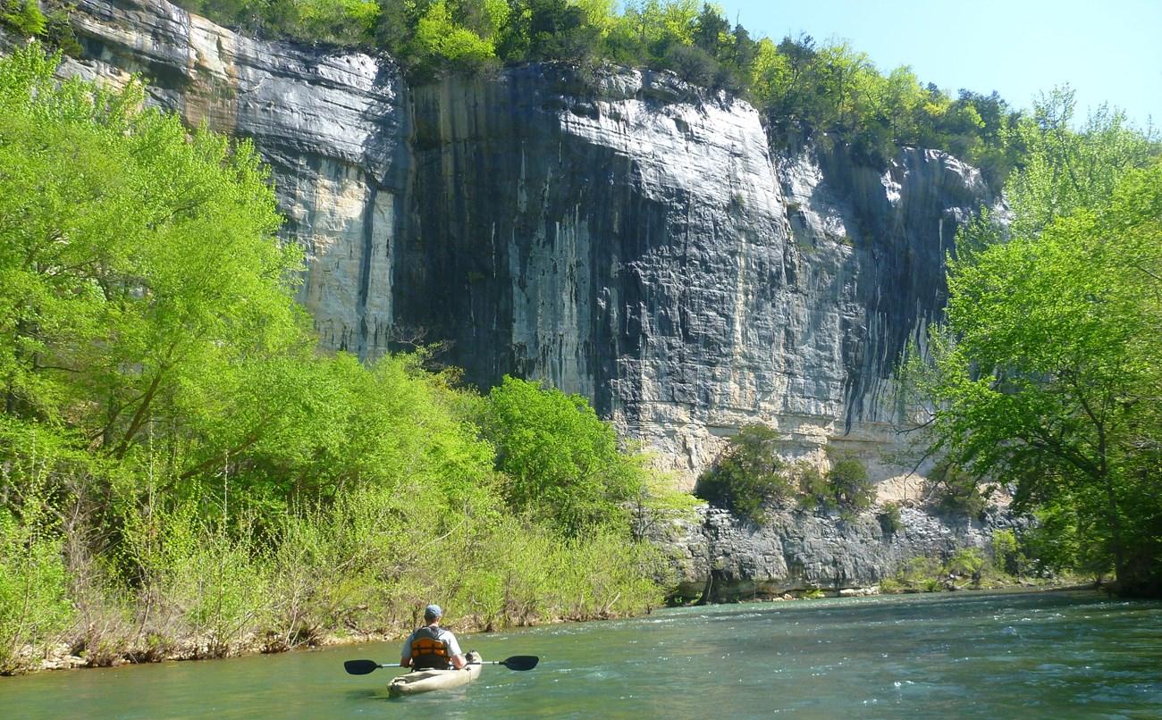
Looking beyond Magnolia Falls? Discover Ozark Mountains for broader travel guides, local hot-spots, and regional highlights.
Explore Ozark Mountains