

Free Ozark Mountains Travel Guide & Mobile App
Explore Ozark Mountains with free travel guides. Discover regional history, expert tips, proposed trips, and audio guides on web or mobile app.


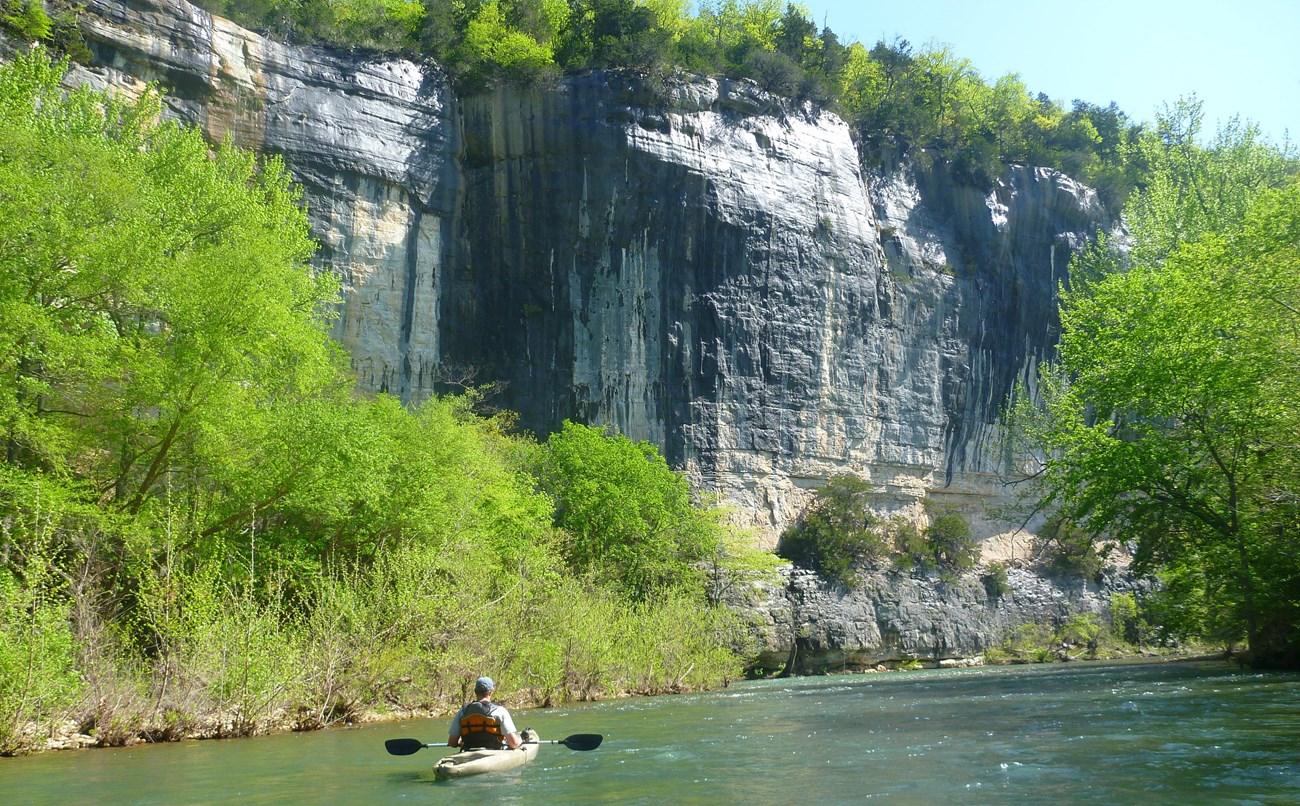


Explore Arkansas's Ozark Mountains for limestone bluffs, clear rivers, forest trails, historic towns and enduring music traditions.
Read more about Ozark Mountains
When is the best time to visit Ozark Mountains?
Best: May, September–October · 21–28°C| Month | High (°C) | Rainfall (mm) |
|---|---|---|
| January | 9 | 76 |
| February | 12 | 76 |
| March | 17 | 99 |
| April | 22 | 109 |
| May (best) | 26 | 122 |
| June | 30 | 104 |
| July | 32 | 97 |
| August | 32 | 99 |
| September (best) | 28 | 94 |
| October (best) | 21 | 94 |
| November | 16 | 94 |
| December | 11 | 97 |
Getting to and around Ozark Mountains
How to get there
Transportation
Top city travel guides in Ozark Mountains
The cities of Ozark Mountains, and the easiest places to base yourself.
-
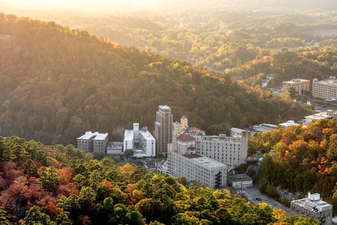 Hot Springs
, Arkansas blends thermal waters, Bathhouse Row, mountain scenery, historic architecture, arts, racing and lively Southern cuisine and arts.
-

-

-

-

-


Swipe for more cities
Destinations in Ozark Mountains
Resorts, valleys and scenic spots worth a trip of their own.
-
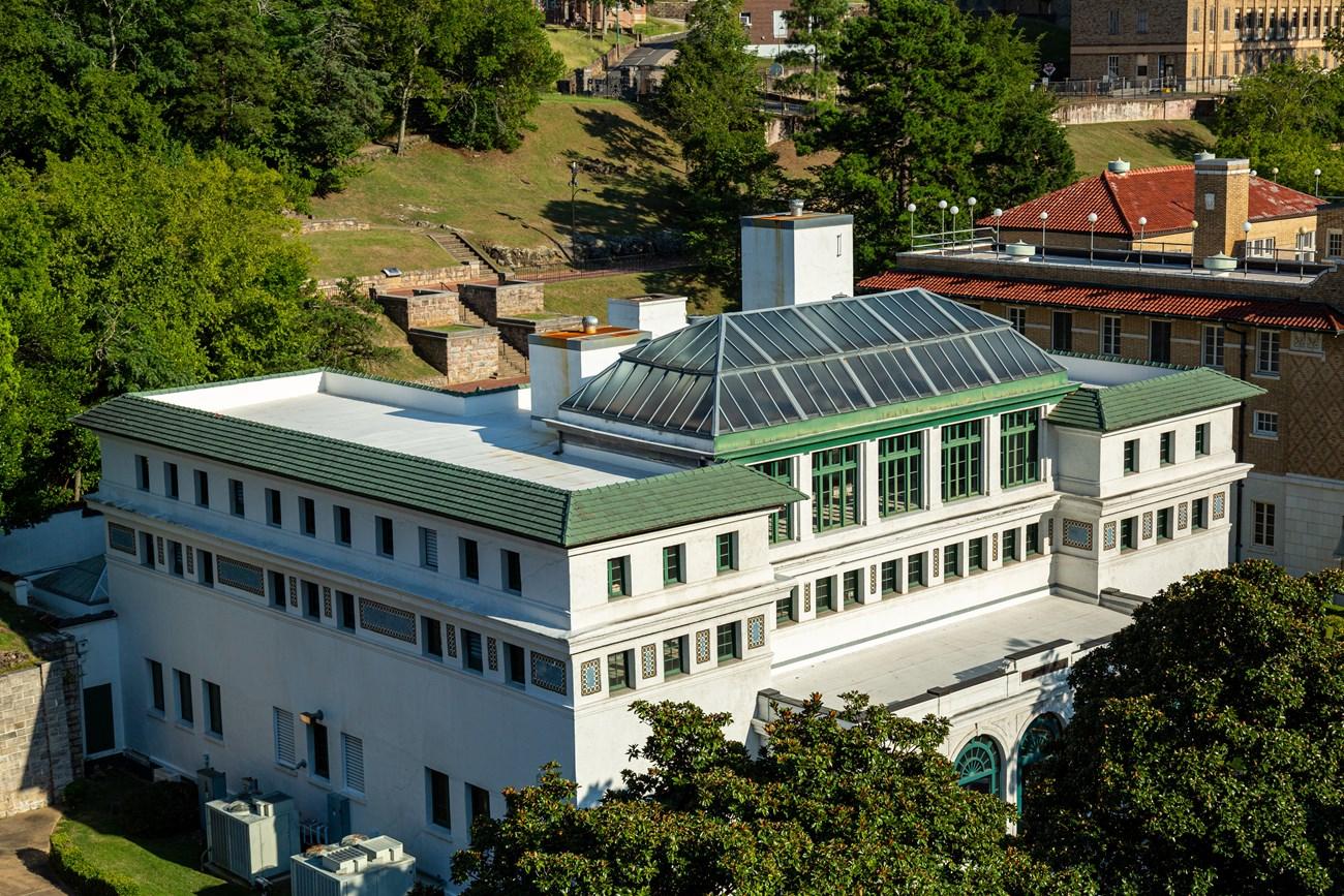 Hot Springs National Park
 in Arkansas pairs historic Bathhouse Row with thermal waters, forested Ouachita trails, scenic drives and American spa heritage.
-

-

-

-

-


Swipe for more destinations
Best attractions in Ozark Mountains
The Arkansas Ozarks offer an unusually broad mix of outdoor and cultural attractions. The Buffalo National River is the centrepiece for canoeing, kayaking, fishing, swimming, hiking and wildlife watching, with access and scenery changing along its course. The Ozark National Forest provides trails, springs, waterfalls, forest roads and camping, while Devil's Den State Park and other state parks make the landscape easier to explore through marked paths and established facilities. Blanchard Springs Caverns introduces visitors to the region's underground limestone world through managed tours. Eureka Springs combines historic streets, galleries and heritage buildings with nearby walking and scenic drives. Mountain View's Ozark Folk Center State Park focuses on traditional music, craft demonstrations and regional cultural history. In the west, Fayetteville and the surrounding cities add museums, public art, cycling routes, food venues and university-town events. The region's attractions are strongest when combined: a river day, a forest walk, a historic town and an evening of live music reveal different dimensions of the same mountain environment.
-
Art museum
Crystal Bridges Museum of American Art
Experience American art in a stunning natural setting at Crystal Bridges Museum in Bentonville, Arkansas. Free admission!
-
National forest
Ozark - St. Francis National Forest
Explore Arkansas's natural beauty: hiking, camping, fishing, and scenic drives in the Ozark-St. Francis National Forest.
-
City park
Eureka Springs Downtown
Step back in time in Eureka Springs Downtown, a Victorian-era village with unique shops, historic sites, and natural beauty nestled in the Ozark Mountains.
-
Tourist attraction
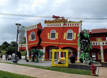
Ripley's Believe It or Not!
Explore the strange and unbelievable at Ripley's Believe It or Not! Branson, featuring oddities, interactive exhibits, and mind-boggling displays for all ages.

Best landmarks in Ozark Mountains
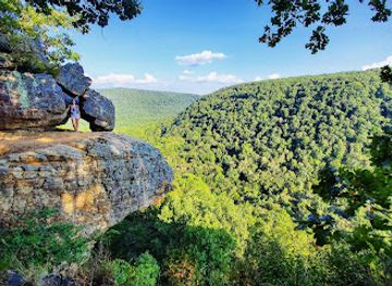
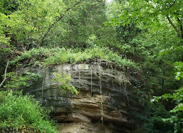
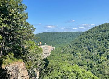
The Buffalo National River's limestone bluffs and wooded river corridor are among the defining natural landmarks of the Arkansas Ozarks. Big Bluff above the river is a particularly memorable geological feature, reached by a demanding trail and requiring careful attention to exposure and conditions. Hawksbill Crag, also known as Whitaker Point, is another recognised rock formation in the upper Buffalo wilderness, where a projecting sandstone ledge overlooks forested valleys. Eureka Springs' steep historic centre is a landmark in its own right, marked by Victorian commercial buildings, churches, retaining walls and winding streets adapted to sharply sloping ground. The Christ of the Ozarks statue is a prominent modern feature above the town, although it belongs to the twentieth-century religious and tourism history of the area rather than its Victorian origins. Blanchard Springs and its cave system demonstrate the karst geology beneath the forest, while the Boston Mountains provide the broader elevated backdrop that distinguishes southern parts of the Arkansas Ozarks from the lower valleys and plateaux.
-
National forest
Ozark - St. Francis National Forest
Discover the unparalleled beauty of Ozark - St. Francis National Forest, a paradise for outdoor lovers in Arkansas, offering hiking, camping, and breathtaking landscapes.
-
City park
Eureka Springs Downtown
Explore the enchanting Eureka Springs Downtown, where Victorian charm meets vibrant culture in the heart of the Ozark Mountains.
-
State park
Mammoth Spring State Park
Explore a natural wonder and historic railway at Mammoth Spring State Park, where the Ozark's beauty flows into history.
-
Park
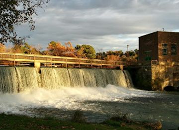
Buffalo National River
Discover the stunning landscapes and recreational activities at Buffalo National River, a must-visit natural reserve in Arkansas.


Explore Ozark Mountains on the map
Plan your trip on one map. See where the top cities, national parks and sights are, and book hotels and experiences in a few clicks.
Best hotels in Ozark Mountains
Best restaurants in Ozark Mountains
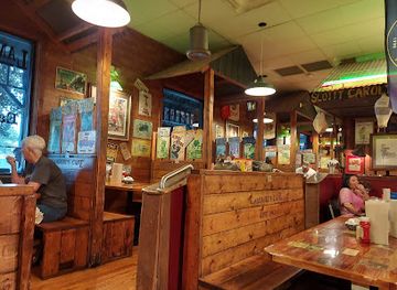
Dining in the Arkansas Ozarks ranges from small-town cafés and rural diners to sophisticated restaurants in Fayetteville, Bentonville-area communities and Eureka Springs. The regional table draws on the wider South, with smoked meats, fried catfish, trout, beans, cornbread, biscuits, seasonal vegetables, apples and pies appearing in different local interpretations. Fish from the region's rivers and hatcheries is available in some restaurants, although menus and supply vary. Mountain communities often favour relaxed cafés, bar-and-grill meals and family-run establishments, while the larger north-western cities support stronger farm-to-table, international and contemporary dining scenes. Farmers' markets provide Arkansas produce, preserves, honey and baked goods, and local breweries and coffee roasters are increasingly part of the food landscape. Visitors should distinguish genuinely regional specialities from broadly American or Southern dishes, while recognising that the Ozarks' culinary identity lies as much in seasonal produce, home-style cooking and local hospitality as in one signature recipe.
-
American
Lambert's Café
Experience the charm of Southern cuisine at Lambert's Café in Ozark—home of the famous throwed rolls!
-
American
Ozark Cafe
Experience delicious American cuisine at Ozark Cafe in Jasper; a must-visit for breakfast lovers and comfort food enthusiasts alike.
-
American
The Rockin' Pig
Discover delicious American cuisine with live music at The Rockin' Pig in Eureka Springs – where every bite tells a story.
-
Italian
Ermilio's Italian Home Cooking
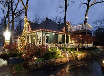
Experience authentic Italian cuisine at Ermilio's Italian Home Cooking in Eureka Springs—a delightful dining experience awaits!

Best bars in Ozark Mountains
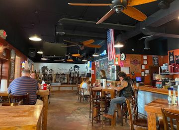
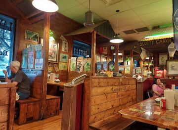
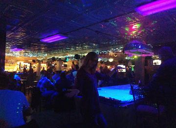
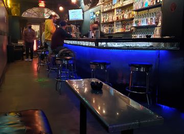
Evening life in the Arkansas Ozarks is generally social and town-centred rather than dominated by large nightclubs. Fayetteville has the region's broadest concentration of bars, live-music venues, breweries and late-evening restaurants, shaped in part by its university population. Eureka Springs has a more intimate scene built around historic inns, bars, live performances, galleries and restaurants, with activity varying by season. Mountain View is closely associated with acoustic and traditional music, especially in venues and community settings linked to the town's folk heritage. In rural districts, evenings usually centre on local pubs, restaurants, porch music and occasional events rather than a formal nightlife district. Visitors should check current arrangements locally, as smaller venues may operate seasonally or schedule performances only on selected nights; alcohol is just one part of the region's evening culture.
-
American
Lambert's Café
Discover the charm of Lambert's Café in Ozark, MO, where Southern hospitality meets unforgettable American cuisine and throwed rolls.
-
American
Ozark Cafe
Experience the charm of Ozark Cafe in Jasper, Arkansas, where delicious American breakfasts and friendly service come together in a unique setting.
-
American
The Rockin' Pig
Experience the vibrant flavors of American cuisine at The Rockin' Pig, Eureka Springs' premier spot for barbecue, burgers, and live music.
-
Grill
Dog Days Bar and Grill
Discover the ultimate dining experience at Dog Days Bar and Grill featuring live music, delicious grilled cuisine, and a vibrant atmosphere in Osage Beach.


Best nightclubs in Ozark Mountains
Evening life in the Arkansas Ozarks is generally social and town-centred rather than dominated by large nightclubs. Fayetteville has the region's broadest concentration of bars, live-music venues, breweries and late-evening restaurants, shaped in part by its university population. Eureka Springs has a more intimate scene built around historic inns, bars, live performances, galleries and restaurants, with activity varying by season. Mountain View is closely associated with acoustic and traditional music, especially in venues and community settings linked to the town's folk heritage. In rural districts, evenings usually centre on local pubs, restaurants, porch music and occasional events rather than a formal nightlife district. Visitors should check current arrangements locally, as smaller venues may operate seasonally or schedule performances only on selected nights; alcohol is just one part of the region's evening culture.
-
Bar
Eureka Live
Experience the vibrant nightlife of Eureka Springs at Eureka Live, where cocktails, dancing, and unforgettable memories await.
-
Bar
The Piano Bar
Dive into Fayetteville's nightlife at The Piano Bar, where live music and great drinks create the perfect evening out.
-
Live Music
AC'S Bar & Grill + Live Event Center
Experience live music, delicious food, and vibrant nightlife at AC'S Bar & Grill + Live Event Center in Mountain Home, Arkansas.
-
Karaoke bar
Infusion Bar
Discover Fayetteville's lively nightlife at Infusion Bar, a top karaoke bar and nightclub offering great drinks and unforgettable performances.


Best shops in Ozark Mountains
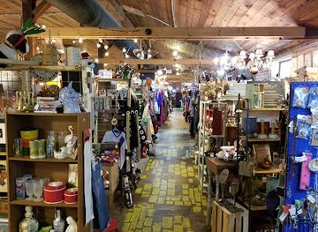
Shopping in the Arkansas Ozarks is concentrated in historic town centres, independent high streets, craft studios, farmers' markets and the larger retail areas of north-western Arkansas. Eureka Springs is known for galleries, antiques, craft shops, books, jewellery and locally made gifts arranged along steep historic streets. Mountain View is a useful place to look for hand-crafted goods, traditional instruments, folk art and regional music-related products, while smaller communities offer pottery, woodwork, quilts, preserves, honey and other practical souvenirs when local makers are present. Farmers' markets and food shops are better sources for Arkansas produce, jams, baked goods and seasonal specialities than generic souvenir outlets. Fayetteville provides a broader mix of independent clothing, books, art and design shops alongside everyday retail. In rural areas, opening days and stock can be limited, so visitors should not assume that every studio or market operates daily; buying directly from established makers supports the living craft traditions for which parts of the Ozarks remain known.
-
Truck stop
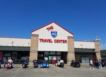
Workman’s Travel Center
Experience the best of Arkansas at Workman’s Travel Center - a unique truck stop offering great food, local crafts, and 24-hour convenience.
-
Flea market
Fayetteville's Funky Flea Market
Explore Fayetteville's Funky Flea Market for an eclectic mix of antiques, vintage clothing, and unique home goods in a vibrant shopping atmosphere.
-
State park
Ozark Folk Center State Park
Discover the rich cultural heritage of the Ozarks at Ozark Folk Center State Park, where music, crafts, and nature come together in harmony.
-
Camping cabin
Turner Bend Store Cabins & RV Campgrounds
Experience the beauty of the Ozark Mountains at Turner Bend Store Cabins & RV Campgrounds, where adventure meets comfort in nature's embrace.

Get your free copy of our complete guide to Ozark Mountains, delivered straight to you.
Everything on this page, from attractions and restaurants to essentials and local phrases, in one PDF you can read offline, print or share.
Already have an account? Sign in
Your Ozark Mountains guide is ready.
We'll send it to · Not you? Sign out

Getting your guide ready…
We are putting together a fresh copy of the Ozark Mountains guide. This can take up to a minute.
This can take a few moments. If your browser asks, choose Allow so the download can start. You'll find the guide in your Downloads folder.
Nothing happened? Download it again
Sorry, the guide is taking longer than usual. Please try again in a minute, or get it by email instead.
Ozark Mountains essentials
Currency and Payment
Safety
Emergency Situations
Do's and Don'ts
Local Tips
From Eve
Local phrases worth knowing
You don't need to get them perfect. A few words go a long way, and locals appreciate the effort.
Basics
| English | Local | Say it |
|---|---|---|
| Hello | Howdy | [Hau-dee] |
| Goodbye | See ya | [See ya] |
| Yes | Yep | [Yep] |
| No | Nope | [Nope] |
| Please/You're welcome | Please | [Pleeze] |
| Thank you | Thank ya | [Thang ya] |
| Excuse me/Sorry | Pardon me | [Pardon me] |
| How are you? | How ya doin'? | [How ya doin'?] |
| Fine. And you? | I'm good. How 'bout you? | [I'm good. How 'bout ya?] |
| Do you speak English? | Ya speakin' English? | [Ya speakin' English?] |
| I don't understand | I ain't got it | [I ain't got it] |
Eating & Drinking
| English | Local | Say it |
|---|---|---|
| I'd like to see the menu, please | Can I see the menu, please? | [Can I see the menu, pleeze?] |
| I don't eat meat | I don't eat no meat | [I don't eat no meet] |
| Cheers! | Cheers! | [Cheers!] |
| I would like to pay, please | I'd like to settle up, please | [I'd like to settle up, pleeze] |
Emergencies
| English | Local | Say it |
|---|---|---|
| Help! | Help! | [Help!] |
| Go away! | Scram! | [Scram!] |
| Call the Police! | Call the cops! | [Call the cops!] |
| Call a doctor! | Get a doctor! | [Get a doctor!] |
| I'm lost | I'm lost | [I'm lost] |
| I'm ill | I'm feelin' bad | [I'm feelin' bad] |
Shopping
| English | Local | Say it |
|---|---|---|
| I'd like to buy... | I wanna buy... | [I wanna buy...] |
| I'm just looking | Just lookin' | [Just lookin'] |
| How much is it? | How much fer that? | [How much fer that?] |
| That's too expensive | That there's too high | [That there's too hi] |
| Can you lower the price? | Can ya drop the price? | [Can ya drop the price?] |
Time & Numbers
| English | Local | Say it |
|---|---|---|
| What time is it? | What time's it? | [What time's it?] |
| It's one o'clock | It's one o'clock | [It's one o'clock] |
| Half past (10) | Half past ten | [Half past ten] |
| Morning | Mornin' | [Mornin'] |
| Afternoon | Afternoon | [Afternoon] |
| Evening | Evenin' | [Evenin'] |
| Yesterday | Yestiddy | [Yestiddy] |
| Today | Today | [Today] |
| Tomorrow | Tomorra | [Tomorra] |
| 1 | One | [One] |
| 2 | Two | [Two] |
| 3 | Three | [Three] |
| 4 | Four | [Four] |
| 5 | Five | [Five] |
| 6 | Six | [Six] |
| 7 | Seven | [Seven] |
| 8 | Eight | [Eight] |
| 9 | Nine | [Nine] |
| 10 | Ten | [Ten] |
Transport & Directions
| English | Local | Say it |
|---|---|---|
| Where's a/the...? | Where's a...? | [Where's a...?] |
| What's the address? | What's the address? | [What's the address?] |
| Can you show me (on the map)? | Can ya show me on the map? | [Can ya show me on the map?] |
| When's the next (bus)? | When's the next bus? | [When's the next bus?] |
| A ticket (to ....) | A ticket to ... | [A ticket to ...] |
History of Ozark Mountains
Indigenous Homelands and Ancient Settlement
The Ozarks have been inhabited for thousands of years, with archaeological evidence of earlier hunting, gathering and farming communities. In the historic period, the Osage held major influence across much of the Ozark region, while other Indigenous peoples, including the Quapaw and Caddo, were connected to wider parts of Arkansas. Indigenous place knowledge, river routes and seasonal use of the uplands preceded Euro-American settlement. The region's caves, springs and river valleys preserve evidence of long human engagement, although many sites are protected and should not be disturbed.
Nineteenth-Century Settlement and the Trail of Removal
After the United States expanded control over the region, Indigenous nations were dispossessed and many people were forcibly relocated westward. The broader Arkansas landscape formed part of the routes and administrative geography associated with removal, including the Trail of Tears. White settlers subsequently established farms, mills and small communities in the Ozarks, adapting to thin soils, steep terrain and dispersed water sources. This settlement pattern helped produce the small mountain towns, family farms and road networks that still characterise parts of northern Arkansas.
The Civil War in the Arkansas Ozarks
The Ozarks became strategically important during the American Civil War because their roads and upland passes connected Arkansas, Missouri and the western theatre. The Battle of Pea Ridge, fought in March 1862 in north-western Arkansas, ended in a major Union victory and helped secure Union control of Missouri. Fighting and guerrilla activity also affected communities across the mountains, disrupting farms, transport and local government. Historic sites and cemeteries in the region reflect a conflict that divided communities as well as armies.
Resorts, Railways and Timber
During the late nineteenth and early twentieth centuries, railways, timber operations and mineral-water resorts reshaped the Ozarks. Eureka Springs grew rapidly after its founding in 1879, attracting visitors to its springs and steep Victorian townscape. Elsewhere, sawmills and rail connections opened forested areas to commercial extraction, while subsistence farming remained important. The combination of difficult terrain and dispersed settlement limited large-scale industrial development, but timber, quarrying, agriculture and tourism left lasting marks on towns, roads and the regional economy.
Ozark Music and Cultural Preservation
Traditional music developed through overlapping Indigenous, African American, European and wider American influences, with fiddle tunes, ballads, gospel, banjo playing and later bluegrass becoming prominent cultural forms. In the twentieth century, concerns about the loss of rural traditions encouraged collecting, performance and craft programmes. Mountain View became especially associated with public presentations of Ozark music and workmanship. These traditions are not museum pieces alone: musicians, dancers, craftspeople and community organisations continue to adapt them for contemporary audiences.
Conservation and the Buffalo National River
Federal and local conservation efforts gained importance as roads, dams, timber use and recreation altered the mountain environment. In 1972, the Buffalo River became the United States' first national river, protecting a largely free-flowing corridor, its bluffs, caves, forests and wildlife habitat. The designation transformed the river into a major outdoor destination while also imposing responsibilities for water quality, access management and responsible recreation. The wider Ozark National Forest and state parks similarly represent an ongoing balance between public enjoyment, private communities and landscape protection.
Ozark Mountains in Photos
Browse through our photo collection highlighting the charm and character of the destination.
Neighbouring regions of Ozark Mountains
The closest regions to Ozark Mountains, if you have time for more than one.
-

-

-

-

-


Swipe for more regions
Explore more

Explore more of Arkansas
Explore Arkansas: The Natural State with its stunning landscapes, rich history, and vibrant cultural experiences. Perfect for adventurers and culture seekers alike.
Explore Arkansas