From Eve
Know before you go
Hi, I'm Eve. Here are a few practical things to know before exploring Aruba Smart Map.
Local know-how to help you travel smarter and make the most of every moment.
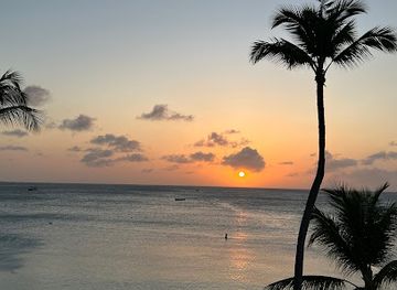
Explore Aruba like a local with Aruba Smart Map, your ultimate guide for navigating the island's beauty, culture, and hidden gems.
The Aruba Smart Map is a tourist information center providing resources to enhance your Aruban travel experience. Offering detailed maps, expert advice, and personalized consultations, it's your gateway to exploring the island's beauty and culture.
Opening times, essentials, and a few local tips gathered into one calmer, easier-to-scan planning section.
Hi, I'm Eve. Here are a few practical things to know before exploring Aruba Smart Map.
Local know-how to help you travel smarter and make the most of every moment.
Walking
Aruba Smart Map is easily accessible on foot, especially if you're already in Oranjestad. From the main streets or the cruise terminal, head towards the city center. Look for the distinctive signs indicating the tourist information area. The center is near the coordinates 12.5183554, -69.9672889. Once you spot the location, you will see its entrance.
Public Transport
Arubus, the Aruban public transportation company, has routes covering almost the entire island. The central bus station in downtown Oranjestad is located adjacent to the cruise terminal. From the bus station, Aruba Smart Map is a short walk away. A single trip on the bus costs $2.60 (4.50 AWG). A round-trip is $5 (8.75 AWG). An unlimited day pass is $10 (17.50 AWG).
Taxi
Taxis are readily available in Aruba, especially at the airport, cruise ship terminal, major hotels, and popular beaches. Taxi fares in Aruba are fixed. The minimum fare is $7 USD. From the airport to Oranjestad, the fixed fare is approximately $21 USD during the day. There may be a surcharge of $3 USD for travel on Sundays, official holidays, or between 11:00 PM and 7:00 AM.
Parking
If you're driving to Aruba Smart Map, be aware that paid parking is implemented in Oranjestad. Paid parking is centralized around Caya Betico Croes and L.G. Smith Boulevard. Parking is enforced Monday to Saturday, from 9:00 AM to 7:00 PM. The parking rate is 2 Aruban Florins for 90 minutes. You can pay with local coins, US coins, or an Aruparking smart card. Parking is free on Sundays and holidays.
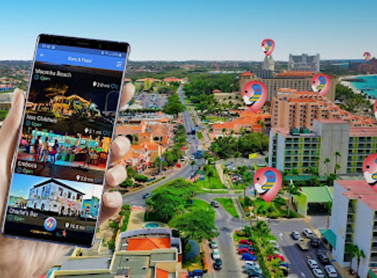
Use Aruba Smart Map as your starting point for nearby food, family ideas, nightlife, and more local discoveries.

Explore expert travel guides, compare and book tours, experiences, hotels, and more—all from the palm of your hand. Download now for seamless trip planning wherever your wanderlust takes you.
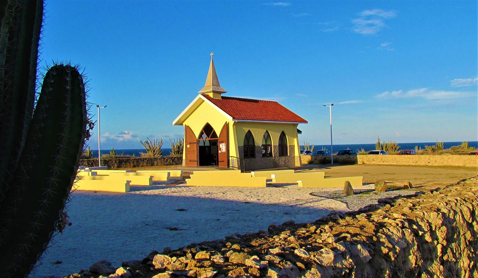
Discover Tanki Leendert: A serene retreat in Aruba, where local culture, natural beauty, and rich history blend seamlessly for an unforgettable experience.
Tell me more about Tanki Leendert