Brahmaputra-Jamuna Floodplain · Travel guide · Updated 2026

The Brahmaputra-Jamuna Floodplain: A Serene Mosaic of Water and Life

Discover the Brahmaputra-Jamuna Floodplain: An ever-changing landscape of water, life, and culture in the heart of Bangladesh.

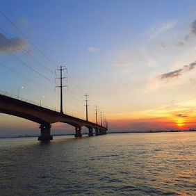
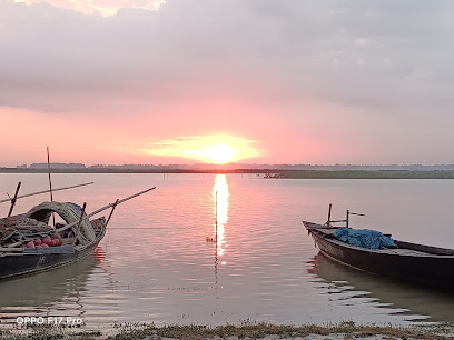
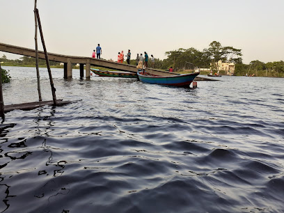
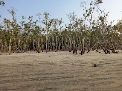
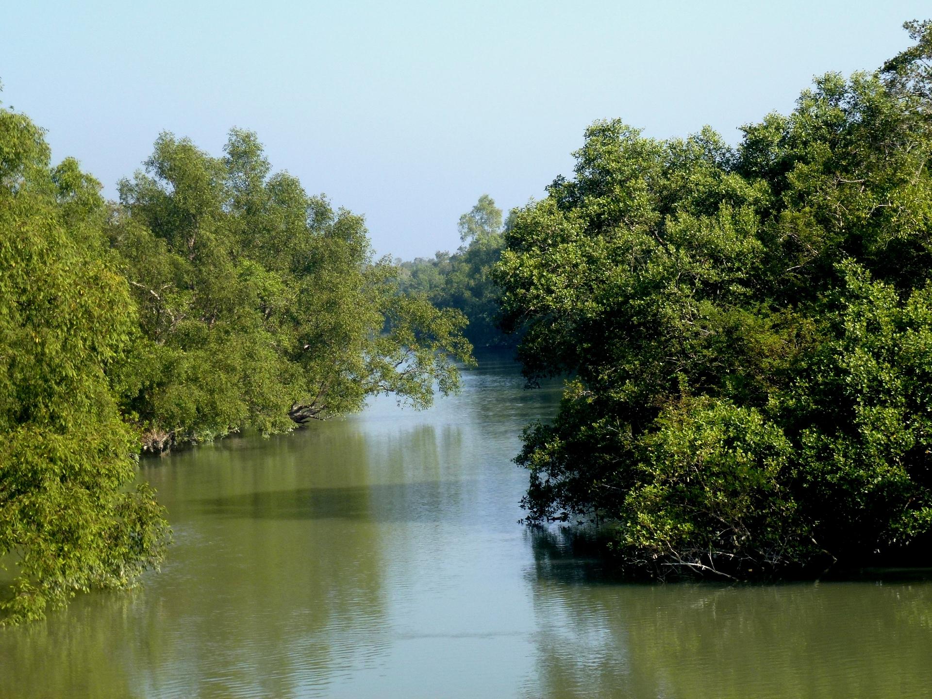
Nestled in the heart of Bangladesh, the Brahmaputra-Jamuna Floodplain is a mesmerizing expanse of water, lush greenery, and vibrant life. This region, shaped by the mighty Brahmaputra and Jamuna rivers, offers an unparalleled experience of nature's tranquility and dynamism. During the monsoon season, the floodplain transforms into a vast, shimmering water world, providing a unique opportunity for visitors to explore its beauty by boat. 
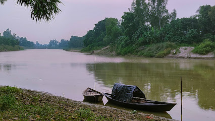
The floodplain is not just about water and landscapes; it is a living tapestry teeming with biodiversity. Bird watchers will be delighted by the sight of numerous migratory birds that flock to this area, creating a colorful spectacle in the sky. The local villages, with their traditional stilt houses and friendly inhabitants, offer a glimpse into the timeless rural life of Bangladesh. Visitors can experience the warmth of local hospitality, taste fresh fish caught from the rivers, and witness traditional agricultural practices. 
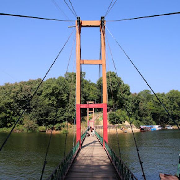
For those seeking adventure, the Brahmaputra-Jamuna Floodplain offers various activities such as fishing, boating, and exploring the myriad of small islands and sandbanks. The ever-changing nature of the floodplain means that each visit can offer a new experience, with different water levels and landscapes. This dynamic environment, coupled with the serene beauty and rich culture, makes the Brahmaputra-Jamuna Floodplain a must-visit destination for any traveler seeking to connect with nature and experience the charm of rural Bangladesh.

When is the best time to go to Brahmaputra-Jamuna Floodplain?

Weather at a glance

Use the monthly temperature and precipitation trends to compare typical conditions across the year before planning countryside walks, town visits, and heritage days.

Temperature

°C

Precipitation

mm
Warmest monthsApr–Sep
Longest daylightApr–Aug
Driest periodJan

Explore places in Brahmaputra-Jamuna Floodplain

    See all →

    Iconic landmarks you can't miss

    Classic Brahmaputra-Jamuna Floodplain sights that mirror the landmark pins above, with a little more context before users explore further.

    Unmissable attractions to see

    These cards mirror the attraction list in the map, while adding enough context to help users prioritise.

    Essential places to dine

    The dining ideas below match the food pins above, making the map and editorial recommendations work together.

    Markets, malls and hidden boutiques

    Each shopping card aligns with a mapped browsing area, from major retail streets to market-led detours.

    Essential bars & hidden hideouts

    The evening cards below match the bars layer in the map, so browsing and orientation stay connected.

    File:Mangrove Forest Katka Sundarban National Park Bangladesh -  panoramio.jpg - Wikimedia Commons
    Destination guide

    More about Bangladesh

    Discover Bangladesh: A land of rivers, rich culture, and breathtaking landscapes. Explore ancient sites, vibrant cities, and the unique flavors of this South Asian gem.

    Tell me more about Bangladesh
    Mobile App
    Get the app

    Your all‑in‑one travel companion app

    Explore expert travel guides, compare and book tours, experiences, hotels, and more—all from the palm of your hand. Download now for seamless trip planning wherever your wanderlust takes you.

    Explore Brahmaputra-Jamuna Floodplain in Photos

    A quick visual route through countryside views, towns, gardens, and regional day-trip atmosphere.

    File:Brahmaputra (aerial views).jpg - Wikimedia Commons
    File:Bangabandhu Jamuna Bridge2.JPG - Wikimedia Commons
    File:Landscape - Bichanakandi, Sylhet.jpg - Wikimedia Commons
    File:Tea Garden near Srimangal, Sylhet, Bangladesh.jpg - Wikimedia Commons

    Select Currency

    Choose the currency you want prices to display in.