Discover the Charm of Speightstown Stone Map
Explore the Speightstown Stone Map, a historical landmark in Barbados showcasing the island's rich seafaring heritage and captivating local culture.
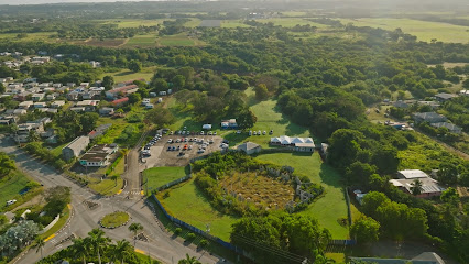
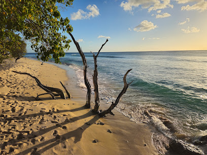
Nestled in the picturesque village of Speightstown, the Speightstown Stone Map is a captivating historical landmark that offers visitors a glimpse into Barbados' rich maritime heritage. This unique attraction serves as a tribute to the seafaring past of the island, showcasing the navigational prowess of sailors who once traversed these waters. As you explore this iconic site, you will be transported back in time, gaining a deeper appreciation for the island's history and culture. Perfect for history buffs and casual tourists alike, the Speightstown Stone Map is a must-see destination for anyone wanting to uncover the stories of Barbados.
A brief summary to Speightstown Stone Map
- Hwy 1B, Speightstown, Saint Peter, BB
Local tips
- Visit early in the morning to enjoy the peaceful atmosphere and avoid crowds.
- Combine your visit with a stroll around the charming village to experience local shops and cafes.
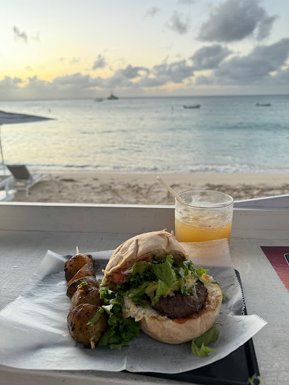
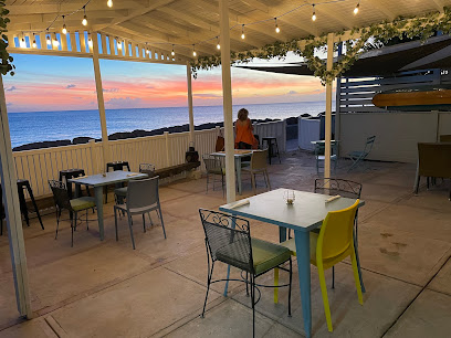
- Bring a camera for stunning photos, especially during golden hour at sunset.
- Take time to read the inscriptions on the Stone Map for a deeper understanding of its significance.
Getting There
-
Walking
Start your journey from the center of Holetown, specifically from the Holetown Beach. Head north along the coast on the main road, Highway 1B. Continue walking for approximately 3.5 kilometers. You will pass several shops and local eateries along the way. Keep an eye out for the signs pointing towards Speightstown. As you approach Speightstown, you will see the famous 'Speightstown Stone Map' on your left side along the highway. It is located near the waterfront, with easy access for visitors.
-
Public Transport (Bus)
From Holetown, locate the nearest bus stop on Highway 1. Board a local minibus heading towards Speightstown (these buses are often marked with their destination). The ride should take around 15-20 minutes, depending on traffic. Once you arrive in Speightstown, disembark at the main bus terminal. Walk towards Highway 1B, and you will find the Speightstown Stone Map just a short walk away, located near the waterfront.
Discover more about Speightstown Stone Map
Iconic landmarks you can’t miss
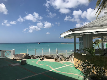
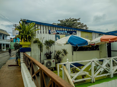
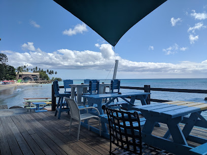
Fisherman's Pub
0.2 km
Experience the flavors of Barbados at Fisherman's Pub, where fresh seafood and local vibes meet stunning coastal views.
Pirate's Ship
0.5 km
Explore the enchanting Pirate's Ship shrine in Speightstown, Barbados, and delve into the rich history of pirates and maritime legends.

The Caboose
0.6 km
Discover the freshest seafood and stunning views at The Caboose in Speightstown, a must-visit destination for food lovers in Barbados.
Schooner Bay - Beachfront Condo Complex
0.6 km
Discover the tranquil beauty of Schooner Bay, a luxurious beachfront condo complex in Speightstown, Barbados, offering exceptional amenities and stunning ocean views.
Curates house
0.7 km
Experience the serene charm of Curates House in Speightstown, a perfect retreat for relaxation and exploration of Barbados' beautiful coast.
Christ Is The Answer Family Church
0.7 km
Explore the vibrant community and spiritual warmth at Christ Is The Answer Family Church in Speightstown, Barbados, a must-visit for cultural immersion.
Portzvue Villa Barbados
0.7 km
Experience the ultimate holiday getaway at Portzvue Villa, a luxurious retreat in Saint Peter, Barbados, perfect for relaxation and adventure.
Cobblers Cove Hotel
0.9 km
Discover the idyllic Cobblers Cove Hotel in Barbados, where luxury meets the stunning Caribbean coastline for an unforgettable vacation experience.
Saint Peter’s Bay Luxury Resort and Residences
1.2 km
Discover the ultimate luxury escape at Saint Peter’s Bay Luxury Resort and Residences in Barbados, where relaxation meets stunning natural beauty.
Battaleys Mews Resort
1.4 km
Discover the perfect blend of luxury and relaxation at Battaleys Mews Resort, your idyllic getaway in the heart of Barbados. Experience paradise today.
The Great House
1.4 km
Experience the luxurious charm of The Great House in Mullins, Barbados, where stunning accommodations meet breathtaking beachside beauty.
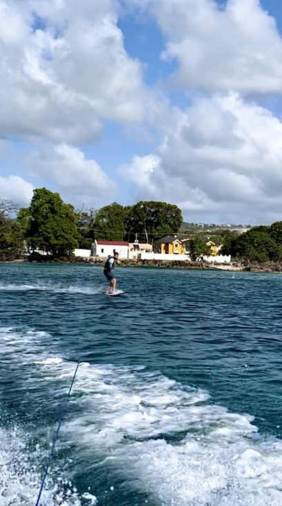
Unseen Barbados
1.5 km
Explore the stunning coastlines and vibrant marine life of Barbados with Unseen Barbados, your gateway to unforgettable boat adventures.
St Joseph Hospital
1.5 km
Discover the eerie charm of St. Joseph Hospital, a haunted site in Barbados that blends history, architecture, and ghostly adventures.
Bombas
1.5 km
Experience the vibrant flavors of the Caribbean at Bombas, a culinary gem in Mullins, Barbados, renowned for fresh seafood and tropical cocktails.
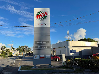
Road View RUBIS
1.6 km
Road View RUBIS in Mullins, Saint Peter is your go-to gas station for all your travel needs in Barbados, offering fuel, snacks, and local insights.
Unmissable attractions to see
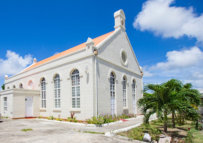
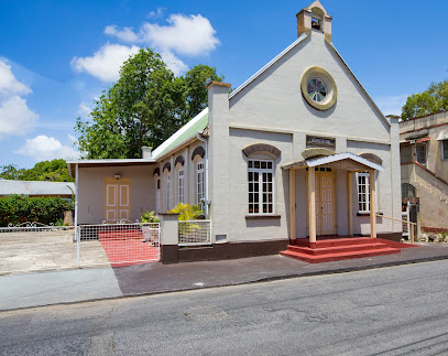
Speightstown Methodist Church
0.2 km
Discover the serene beauty and historical significance of Speightstown Methodist Church in Saint Peter, Barbados, a must-visit for culture and spirituality enthusiasts.
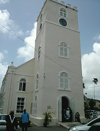
Pink Church
0.2 km
Explore the enchanting Pink Church in Speightstown, a vibrant historical site showcasing Caribbean architecture and a tranquil atmosphere for all visitors.
St. Peter Parish Church
0.2 km
Experience the tranquility and rich history of St. Peter Parish Church, a stunning Anglican church in the heart of Barbados.
Jetski Barbados - Jetski Tours & Excursions
0.2 km
Explore the stunning Caribbean waters with an exhilarating jetski experience at Jetski Barbados, where adventure meets natural beauty.
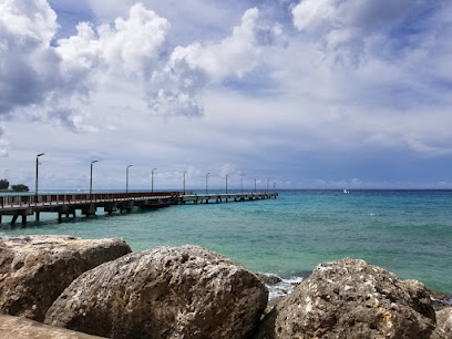
Speightstown Pier
0.2 km
Experience the vibrant culture and stunning views at Speightstown Pier, a must-visit destination in Saint Peter, Barbados.
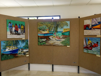
Gallery of Caribbean Art
0.2 km
Explore the Gallery of Caribbean Art in Speightstown, Barbados - a vibrant showcase of local talent and cultural heritage.
Arlington House Museum
0.2 km
Explore the rich history and cultural heritage of Barbados at the Arlington House Museum in Speightstown.
SCUBA @ Cherry Beach
0.3 km
Experience the vibrant underwater world of Barbados at SCUBA @ Cherry Beach, the ultimate destination for diving enthusiasts and adventure seekers.
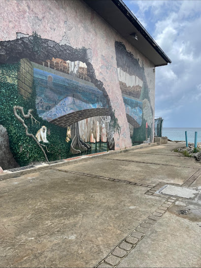
Speightstown Mural
0.3 km
Discover the stunning Speightstown Mural, a vibrant celebration of Barbadian culture and history that enchants every visitor.
Speightstown Church of God
0.4 km
Discover the warmth and community spirit at Speightstown Church of God, a cultural gem in the heart of Barbados.
Sand Street beach
0.4 km
Experience the tranquil beauty of Sand Street Beach in Barbados, a perfect getaway for relaxation, adventure, and unforgettable memories.
Heywoods Beach
0.8 km
Experience the stunning beauty of Heywoods Beach, a tropical paradise in Douglas, Barbados, perfect for relaxation and water sports amidst breathtaking views.
Godings Bay
0.8 km
Explore the serene beauty of Godings Bay, Barbados – a perfect escape for relaxation, snorkeling, and breathtaking coastal views.
Port St Charles
1.2 km
Discover the luxury and beauty of Port St Charles, a premier marina destination in Barbados offering upscale living, adventure, and breathtaking coastal views.
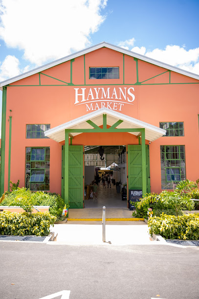
Haymans Market
1.7 km
Experience the heart of Barbados at Haymans Market, where local culture, fresh produce, and artisanal craftsmanship come together in a vibrant atmosphere.
Essential places to dine
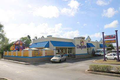
Chefette Speightstown
0.1 km
Experience authentic Barbadian flavors at Chefette Speightstown - a must-visit fast-food gem offering delicious local cuisine.
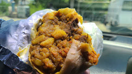
Sunflower Roti’s & Pastries
0.1 km
Experience authentic Caribbean cuisine at Sunflower Roti’s & Pastries in Speightstown - where every dish tells a story.
KFC Speightstown
0.1 km
Experience the iconic taste of KFC in Speightstown, Barbados – where fast food meets tropical charm and affordability.
Steph's Kitchens
0.1 km
Discover family-friendly dining at Steph's Kitchens in Speightstown - where delicious local flavors meet warm Barbadian hospitality.
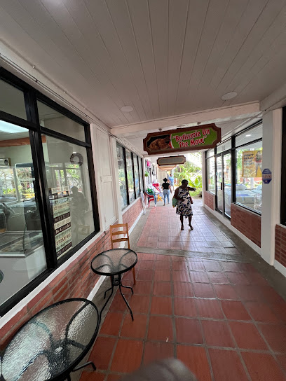
Rotisserie on the Move
0.2 km
Experience authentic Barbadian flavors at Rotisserie on the Move - perfect for families seeking delicious meals in Speightstown.
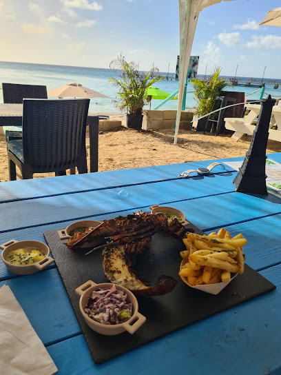
La plage
0.2 km
Discover La Plage in Speightstown: Where exquisite Barbadian cuisine meets stunning Caribbean views for an unforgettable dining experience.
Toast Bar & Grill
0.2 km
Experience delightful grilled cuisine and refreshing cocktails at Toast Bar & Grill in beautiful Warleigh, Saint Peter, Barbados.
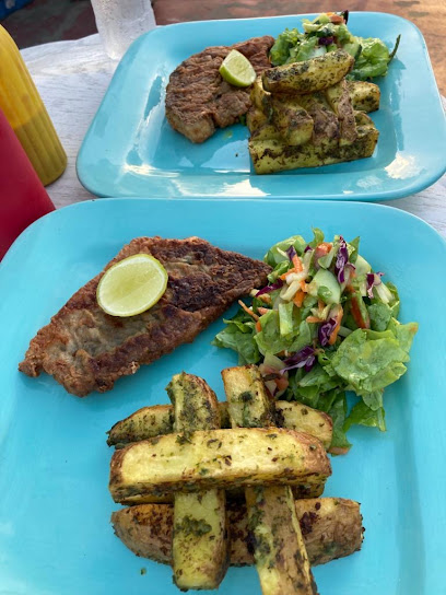
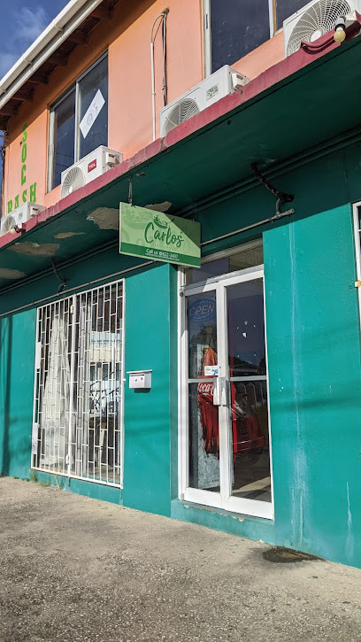
Carlos Restaurant
0.2 km
Experience authentic Barbadian breakfast delights at Carlos Restaurant in Speightstown—where flavor meets island charm.
Local & Co
0.2 km
Experience authentic Barbadian cuisine at Local & Co in Speightstown – where every dish tells a story.
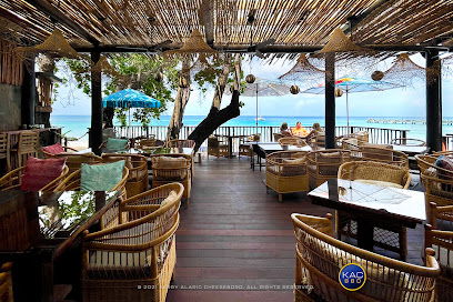
BAREFOOT IN THE BAR
0.2 km
Experience authentic Barbadian cuisine at Barefoot in the Bar—where delicious grilled dishes meet stunning ocean views.
One Eleven East
0.2 km
Discover exquisite Caribbean cuisine at One Eleven East in Speightstown - where every dish tells a story of Barbados' rich culinary heritage.
Bejewelled's Kitchen
0.2 km
Discover the essence of Barbadian cuisine at Bejewelled's Kitchen – where every dish tells a story of flavor and tradition.
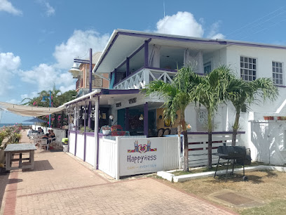
Happyness
0.3 km
Experience authentic Barbadian cuisine at Happyness in Speightstown – where every meal is a celebration of flavor and culture.
The Orange Street Grocer
0.3 km
Experience delightful local flavors at The Orange Street Grocer in Speightstown - where fresh ingredients meet innovative cuisine.
The Edible Garden Café
0.3 km
Experience fresh flavors at The Edible Garden Café in Douglas, Saint Peter - where local produce meets culinary artistry in a serene garden setting.
Markets, malls and hidden boutiques
D.D.R Inc
0.1 km
Explore D.D.R Inc in Speightstown, Barbados for the latest electronics and personalized service, ensuring your travel tech needs are met.
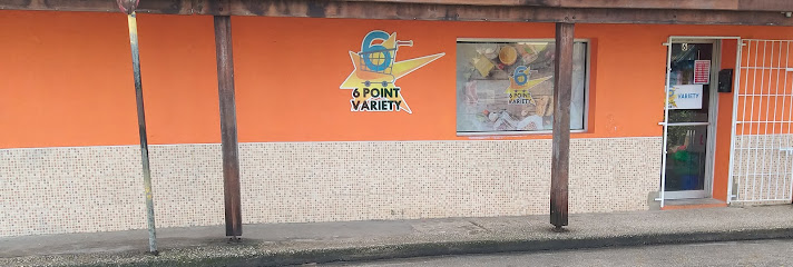
6 Point Variety
0.1 km
Experience the heart of Barbados at 6 Point Variety, your go-to grocery store for local flavors and friendly service in Speightstown.
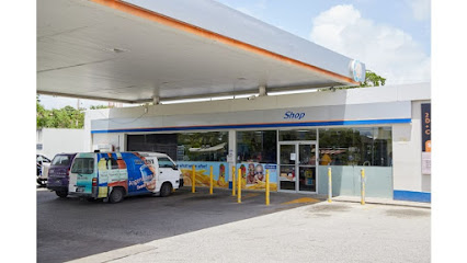
Sol Speightstown Sol Shop
0.1 km
Explore the convenience of Sol Speightstown Sol Shop, your local hub for snacks, drinks, and essential services in beautiful Barbados.
ShopSmart Express Speightstown
0.1 km
Discover affordable shopping at ShopSmart Express Speightstown, where local flavors meet convenience in a vibrant supermarket experience.
Eddie's Supermarket
0.1 km
Explore the flavors of Barbados at Eddie's Supermarket in Speightstown, where local produce meets Caribbean culinary delights.
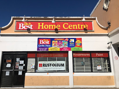
Do it Best Home Centre (Speightstown)
0.1 km
Explore the vibrant Do it Best Home Centre in Speightstown, Barbados, your go-to destination for hardware and unique home goods.
The Farmers Barn
0.1 km
Discover authentic Bajan flavors at The Farmers Barn, a local grocery store in Speightstown offering fresh produce and traditional delicacies.
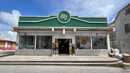
S.Y. Adam & Son
0.1 km
Explore the charm of S.Y. Adam & Son in Speightstown for unique home goods and local craftsmanship that encapsulates the spirit of Barbados.
The Electronic Hub
0.2 km
Explore an extensive range of electronics at The Electronic Hub in Speightstown, Barbados - where quality meets exceptional service.
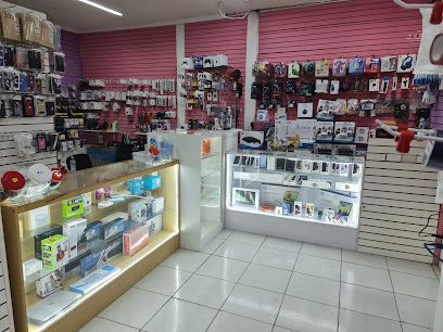
Mobile Phone Tech
0.2 km
Discover the latest mobile technology at Mobile Phone Tech in Speightstown, Barbados, where innovation meets convenience for travelers.
Scandal Boutique
0.2 km
Explore the vibrant styles of Scandal Boutique in Speightstown, Barbados, where local fashion meets international trends for a unique shopping experience.
Dannika's Kidz Konnection
0.2 km
Discover trendy and stylish children's clothing at Dannika's Kidz Konnection in Speightstown, Barbados - a must-visit for families!

Rosemario Variety
0.2 km
Immerse yourself in local culture and shopping at Rosemario Variety, Speightstown's vibrant shopping destination showcasing Barbadian crafts and produce.
Nature's Discount - Speightstown
0.2 km
Discover a health oasis in Speightstown at Nature's Discount, your go-to store for vitamins, supplements, and organic products.
Xpressions By J
0.2 km
Explore unique, stylish footwear at Xpressions By J in Speightstown, Barbados, where local artisans craft every pair.

Essential bars & hidden hideouts
Islandlinkz Spot
0.1 km
Explore the vibrant Islandlinkz Spot in Speightstown, Barbados - a bar that offers refreshing drinks and a taste of local culture.
Little Bristol Beach Bar
0.2 km
Discover Little Bristol Beach Bar - your gateway to serene beachside relaxation and delicious Caribbean flavors in Speightstown, Barbados.
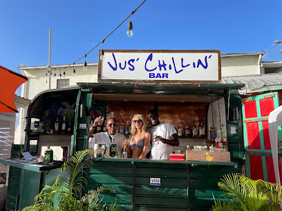
Jus’ Chillin’ Bar
0.2 km
Experience the essence of Barbados at Jus’ Chillin’ Bar, where refreshing drinks meet a vibrant atmosphere in Speightstown.
Stop By Bar
0.2 km
Discover the lively spirit of Barbados at Stop By Bar, where refreshing drinks and local flavors await in the heart of Speightstown.
Queen's Ice Cream Parlor
0.2 km
Experience the sweet taste of Barbados at Queen's Ice Cream Parlor, where delightful flavors meet coastal charm.
Double Deuce Cocktail Bar
0.2 km
Discover the lively Double Deuce Cocktail Bar in Speightstown, Barbados, where expertly crafted cocktails meet a vibrant social atmosphere.
Drunken Lobster
0.2 km
Experience the vibrant atmosphere and refreshing cocktails at Drunken Lobster, a must-visit bar in Speightstown, Barbados, perfect for relaxation and fun.
Tyrone's Bar
0.3 km
Experience the vibrant spirit of Barbados at Tyrone's Bar in Speightstown, where refreshing drinks and good company await you.
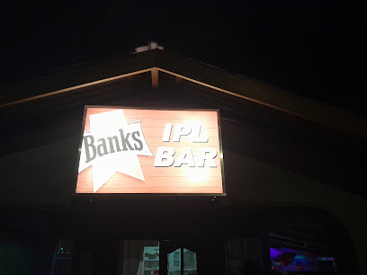
IPL Bar
0.3 km
Experience the vibrant nightlife and refreshing cocktails at IPL Bar, Speightstown's premier destination for tourists seeking Caribbean charm.
The Goose Barbados
0.3 km
Experience the vibrant flavors and relaxed ambiance of The Goose Barbados, a must-visit bar and restaurant in Speightstown.
Andrea's Souse Bar n Grill
0.3 km
Experience the authentic flavors of Barbados at Andrea's Souse Bar n Grill, where local cuisine meets a vibrant atmosphere in Speightstown.
Babbie's Cool Spot
0.6 km
Experience the laid-back charm of Babbie's Cool Spot in Speightstown, where refreshing drinks and local vibes create the perfect Caribbean retreat.
The Oasis Sports Bar
1.1 km
Discover the lively atmosphere of The Oasis Sports Bar in Bridgetown, where refreshing drinks and sports come together for an unforgettable experience.
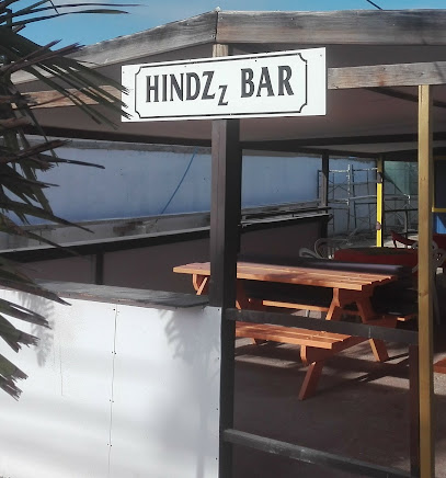
Hindzz Bar
1.5 km
Discover the vibrant flavors of Barbados at Hindzz Bar, a culinary haven in Mullins renowned for its fresh seafood and tropical cocktails.
Pier One Restaurant
1.5 km
Experience the flavors of Barbados at Pier One Restaurant, where fresh seafood meets stunning ocean views in Speightstown.