Sutro Tower: San Francisco's Skyline Icon
San Francisco's iconic Sutro Tower, a towering landmark and communications hub, offers a unique perspective on the city's skyline and technological innovation, visible from across the Bay Area.
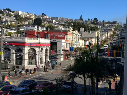
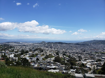
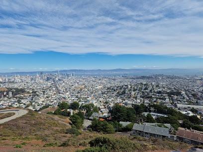
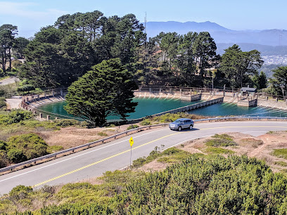
Sutro Tower, a towering lattice structure, dominates the San Francisco skyline. Completed in 1973, it serves as a vital communications hub, broadcasting television and radio signals across the Bay Area. While not open to the public, its presence is felt throughout the city, offering a unique, if sometimes debated, aesthetic. The tower is named after Mount Sutro, and stands on a hill between Twin Peaks and Mount Sutro near Clarendon Heights. It is a landmark for city residents and visitors. Its construction resolved signal issues caused by San Francisco's hilly terrain, consolidating transmitters in one location. Though initially criticized, Sutro Tower has become a beloved symbol of San Francisco, representing the city's innovative spirit and technological prowess. Viewing the tower from different vantage points around the city offers unique perspectives and photo opportunities.
A brief summary to Sutro Tower
- Sutro Tower, 1 La Avanzada St, San Francisco, Clarendon Heights, California, 94131, US
- +1415-681-8851
- Visit website
- Monday 8 am-4 pm
- Tuesday 8 am-4 pm
- Wednesday 8 am-4 pm
- Thursday 8 am-4 pm
- Friday 8 am-4 pm
Local tips
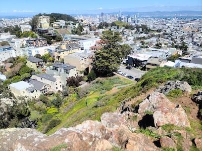
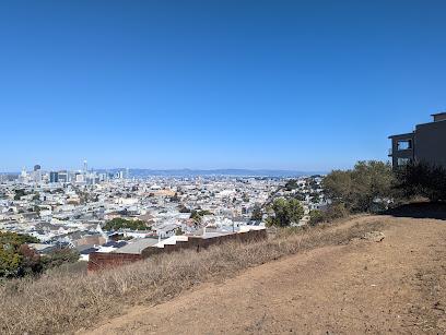
- For the best views of Sutro Tower with the city skyline, head to Twin Peaks or Grand View Park, especially on a clear day.
- Explore the hiking trails in the Mount Sutro Open Space Reserve for glimpses of the tower through the eucalyptus forest.
- Take public transportation to Mount Sutro, as parking can be limited, especially on weekdays.
Getting There
-
Public Transport
From central San Francisco, several Muni bus lines provide access to the vicinity of Sutro Tower. The 33, 36, and 37 lines have stops within a reasonable walking distance. From the bus stops, follow the street signs and general uphill direction towards the tower. A single Muni fare is $3.00, or $2.50 if using a Clipper card or the MuniMobile app. A day pass, valid on buses and streetcars (but not cable cars), is available for $5.00 through the MuniMobile app.
-
Taxi/Ride-Share
A taxi or ride-share from downtown San Francisco to Sutro Tower will typically cost between $14 and $18, depending on traffic and demand. Direct the driver to 1 La Avanzada Street, which is the tower's address. Note that there is no public access to the tower itself, but this will get you to the general vicinity for viewing and nearby hiking trails.
-
Driving
Driving to Sutro Tower involves navigating residential streets in the Clarendon Heights neighborhood. There is no dedicated parking lot for the tower. Street parking is available, but can be limited, especially on weekdays. Be sure to observe all parking signs and restrictions to avoid tickets. Free parking can be found on Clarendon Avenue, from where you can walk to the trails around Mount Sutro. There are no toll roads or bridges directly impacting the final access to Sutro Tower.
Discover more about Sutro Tower
Iconic landmarks you can’t miss
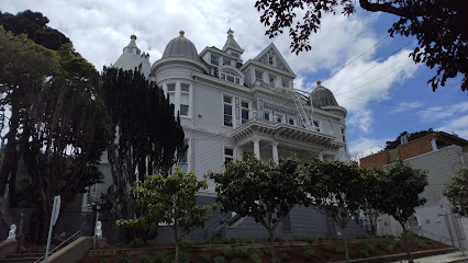
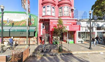
Alfred E. Clarke Mansion
1.3 km
Explore the Alfred E. Clarke Mansion in San Francisco's Eureka Valley, a Baroque-Queen Anne architectural gem with a rich history, offering a glimpse into the city's opulent past.
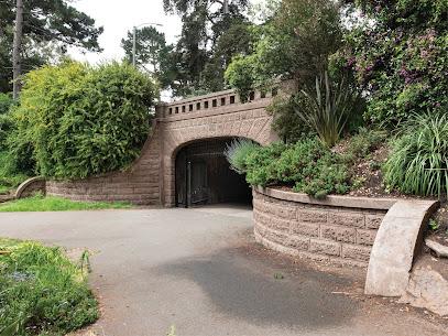
Alvord Lake Bridge
1.6 km
Explore the beauty of Alvord Lake Bridge in Golden Gate Park, a serene escape for nature lovers and photography enthusiasts in San Francisco.
Grateful Dead House
1.6 km
Explore the iconic Grateful Dead House in Haight-Ashbury, a historical landmark that celebrates the legacy of a generation-defining rock band.
GLBT Historical Society Museum
1.6 km
Explore the rich legacy of the LGBTQ+ community at the GLBT Historical Society Museum in San Francisco's vibrant Castro District.
Janis Joplin's House
1.7 km
Discover the historical significance of Janis Joplin's house in San Francisco's Haight-Ashbury, a tribute to the legendary rock star and the vibrant counterculture of the 1960s.
Pink Triangle Memorial
1.7 km
A poignant memorial in San Francisco's Castro District honoring LGBTQ+ victims of the Holocaust, reclaimed as a symbol of pride and a reminder of the ongoing fight for equality.
Harvey Milk Plaza
1.7 km
Explore Harvey Milk Plaza in San Francisco, a vibrant landmark honoring LGBTQ+ history and civil rights through art, community events, and a spirit of inclusivity.
1524 Haight St
1.7 km
Experience the vibrant heart of San Francisco's counterculture at the iconic Haight-Ashbury building, steeped in history and creativity.
Haight-Ashbury Clock
1.7 km
Discover the Haight-Ashbury Clock, an iconic historical landmark in San Francisco, reflecting the city's rich counterculture heritage and vibrant artistic spirit.

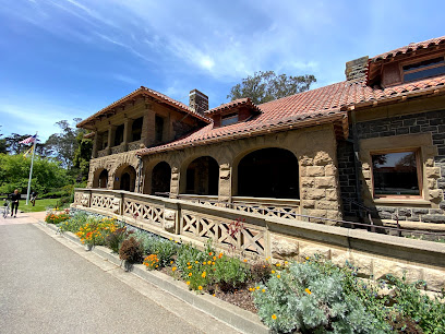
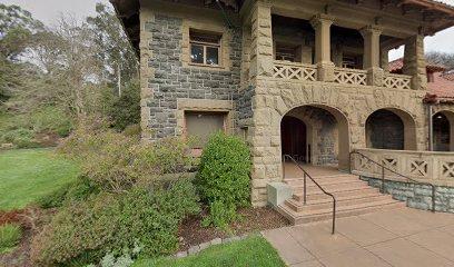
McLaren Lodge
1.8 km
Discover the historic McLaren Lodge in Golden Gate Park, home to the SF Recreation & Parks Department and a monument to John McLaren's vision, showcasing stunning Richardsonian Romanesque architecture.
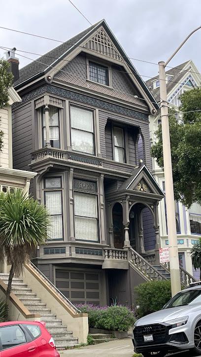
Delano House
1.9 km
Discover the rich history and stunning architecture of Delano House, a charming historical landmark in San Francisco's Buena Vista neighborhood.
501 Stanyan St
1.9 km
Explore the architectural elegance of 501 Stanyan St in Golden Gate Park, where nature and history intertwine in the heart of San Francisco.
Mt. Davidson Cross
1.9 km
Discover panoramic views and a rich history at the Mount Davidson Cross, a San Francisco landmark honoring the Armenian Genocide and hosting annual Easter sunrise services.
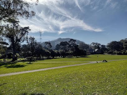
Buena Vista Park
1.9 km
Discover San Francisco's oldest park, a hilltop oasis with winding trails, panoramic city views, and a unique history, offering a tranquil escape in the heart of the city.
Noel
2.0 km
Explore the rich history and charming architecture of Noel, a historical landmark in the heart of San Francisco's Noe Valley.
Unmissable attractions to see
Twin Peaks
0.5 km
Discover Twin Peaks, a breathtaking park in San Francisco offering stunning views, scenic trails, and a tranquil escape from the city hustle.
Christmas Tree Point
0.5 km
Experience breathtaking panoramic views of San Francisco from Christmas Tree Point, a historic vista on Twin Peaks offering iconic landmarks and stunning natural beauty.
Tank Hill
0.7 km
Discover breathtaking views of San Francisco at Tank Hill, a serene park perfect for relaxation and photography amidst the city's vibrant skyline.
Kite Hill
1.0 km
Discover Kite Hill, a tranquil city park in San Francisco's Eureka Valley, offering stunning views, lush landscapes, and a perfect escape for tourists.
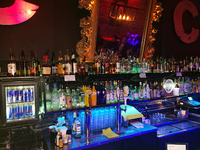
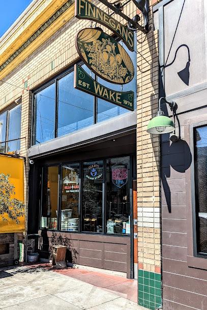
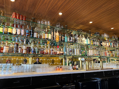
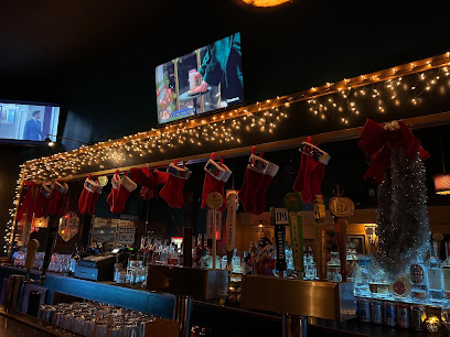
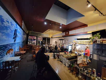
Finnegans Wake
1.1 km
Experience the vibrant atmosphere of Finnegans Wake, a beloved sports bar in San Francisco's Cole Valley, perfect for food, drinks, and game day excitement.
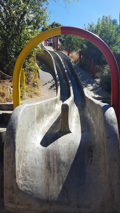
Concrete Slides
1.2 km
Discover the excitement of the Concrete Slides in San Francisco—a unique urban attraction offering fun, stunning views, and a touch of nostalgia for all ages.
Carousel Ride
1.5 km
Experience the enchanting Carousel Ride in Golden Gate Park, a charming attraction perfect for families and a delightful escape in San Francisco's natural beauty.
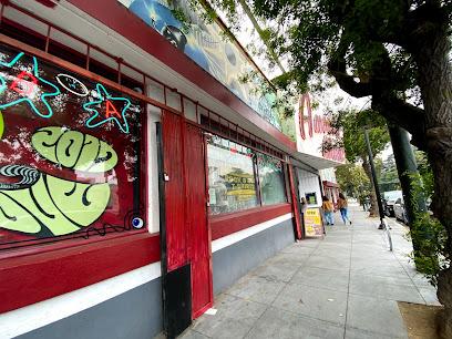
Amoeba Music
1.6 km
Explore Amoeba Music in Haight-Ashbury, San Francisco's iconic store for records, CDs, and videos, celebrating music culture and heritage.
Evolutionary Rainbow
1.6 km
Experience the vibrant history of Haight-Ashbury at the Evolutionary Rainbow, a colorful tribute to the cultural heritage of San Francisco's iconic district.
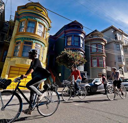
Streets of San Francisco Bike Tours
1.6 km
Experience San Francisco's iconic sights and hidden gems on a bike with Streets of San Francisco Bike Tours – the ultimate way to explore the city.
Robin Williams Meadow
1.6 km
Experience the tranquil beauty of Robin Williams Meadow in Golden Gate Park, a perfect retreat for relaxation and nature appreciation in San Francisco.
Essential places to dine
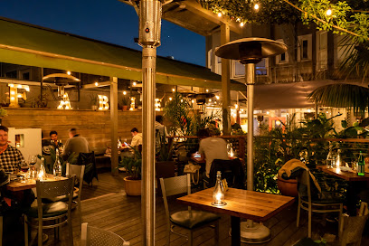
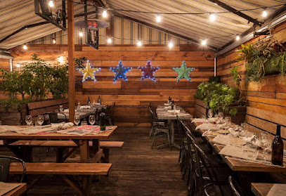
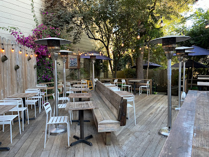
Fable
1.6 km
Discover Fable in San Francisco's Castro district - where Californian flavors meet sustainability in an enchanting dining atmosphere.
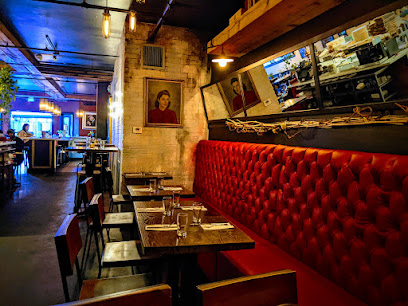
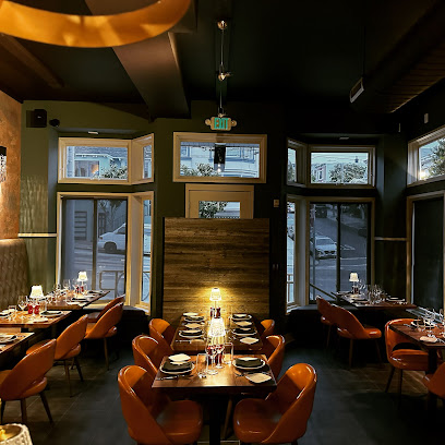
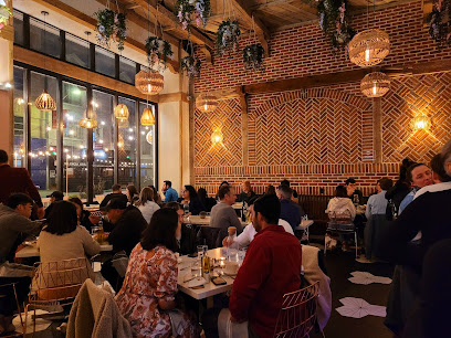
Blind Butcher
1.8 km
Experience innovative New American cuisine at Blind Butcher in San Francisco's lively Castro district - where fresh ingredients meet creative flair.
Starbelly
2.0 km
Experience fresh Californian cuisine at Starbelly in San Francisco's Castro district - where seasonal ingredients meet innovative flavors.
Bistro Ember
2.3 km
Discover Bistro Ember in Noe Valley: A delightful Mediterranean escape with Turkish-inspired cuisine in the heart of San Francisco.
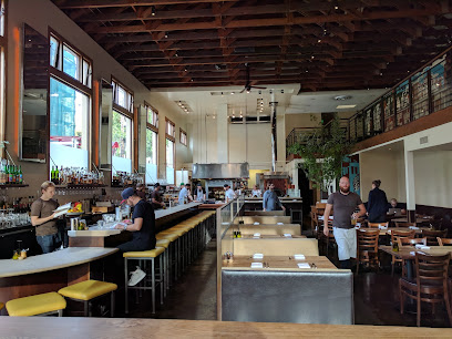
Nopa
2.6 km
Experience the vibrant flavors of New American cuisine at Nopa in San Francisco's Alamo Square, where organic ingredients meet Mediterranean flair.
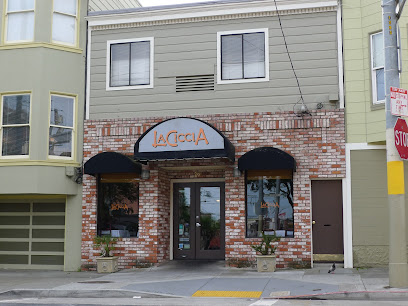
La Ciccia
2.7 km
Discover authentic Italian flavors at La Ciccia, where fresh seafood meets warm hospitality in the heart of San Francisco's Fairmount neighborhood.
Bottega
2.8 km
Experience authentic Italian cuisine at Bottega in San Francisco's vibrant Mission District—where every meal is a celebration of flavor.
Beretta Valencia
2.8 km
Experience authentic Italian flavors at Beretta Valencia in San Francisco's vibrant Mission District - where pizza meets creativity.
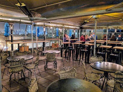
El Techo
2.9 km
Experience breathtaking views and authentic Latin cuisine at El Techo, a must-visit rooftop restaurant in San Francisco's vibrant Mission District.
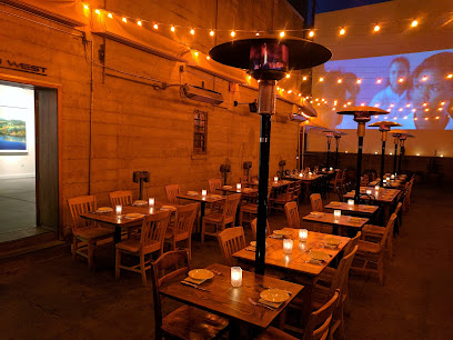
Foreign Cinema
3.0 km
Discover Foreign Cinema: A unique dining experience blending Californian and Mediterranean flavors in San Francisco's vibrant Mission District.
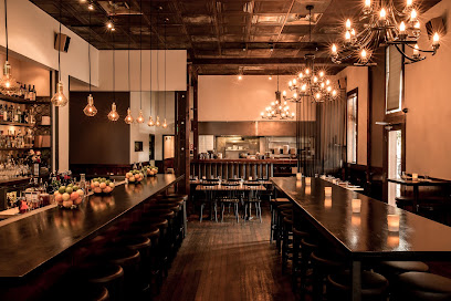
Lazy Bear
3.0 km
Discover culinary artistry at Lazy Bear, San Francisco's premier fine dining destination featuring innovative New American cuisine.
Lolinda
3.0 km
Experience exquisite Argentine cuisine at Lolinda in San Francisco's Mission District - where flavor meets atmosphere.
Prubechu
3.0 km
Experience a delightful fusion of flavors at Prubechu, where Pacific Rim cuisine meets local ingredients in San Francisco's Mission District.
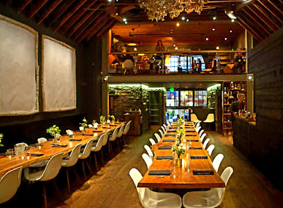
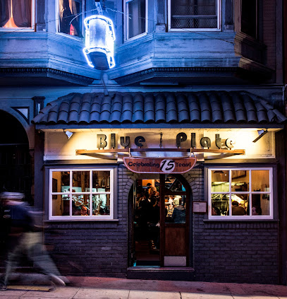
Blue Plate
3.1 km
Discover Blue Plate: A culinary haven in San Francisco blending American and Mediterranean delights in a serene garden setting.
Burma Love - Mission
3.1 km
Discover the vibrant flavors of authentic Burmese cuisine at Burma Love in San Francisco's Mission District - a true culinary delight.

Markets, malls and hidden boutiques
Land of the Sun
1.6 km
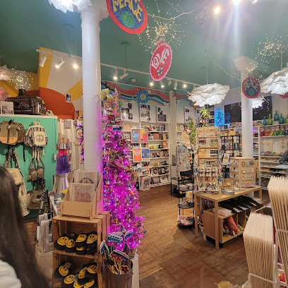
Explore the vibrant Land of the Sun gift shop in Haight-Ashbury, San Francisco, for unique clothing, accessories, and local souvenirs that capture the city's spirit.
San Francisco Mercantile
1.6 km
Explore the essence of San Francisco at San Francisco Mercantile, your go-to shop for unique gifts and local artisan creations in Haight-Ashbury.
Local Take
1.6 km
Explore Local Take in San Francisco for unique gifts and local artisanal treasures that capture the city's vibrant spirit.
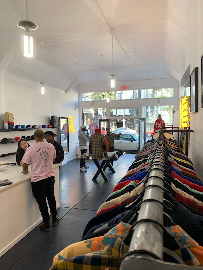
Held Over
1.7 km
Explore unique vintage fashion at Held Over, where every piece has a story and reflects the vibrant spirit of San Francisco's Haight-Ashbury.
Welcome Haight & Ashbury
1.7 km
Explore the heart of Haight-Ashbury with unique gifts and local treasures at Welcome Haight & Ashbury, San Francisco's iconic visitor center.
True
1.8 km
Discover unique fashion at True Clothing in Haight-Ashbury, San Francisco's iconic store for eclectic styles and local designer pieces.
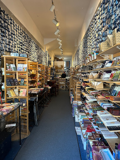
Chocolate Covered
1.8 km
Explore the heavenly world of artisanal chocolates at Chocolate Covered in San Francisco's Noe Valley, where every bite is a blissful indulgence.
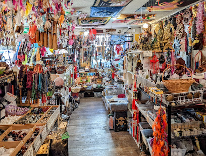
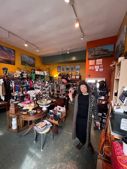
Things Lucky Handicraft
1.8 km
Explore the vibrant Haight-Ashbury district and uncover unique gifts and handcrafted treasures at Things Lucky Handicraft.
Isso San Francisco
2.6 km
Explore Isso San Francisco for unique vintage clothing and remade treasures in the heart of the Mission Dolores neighborhood.
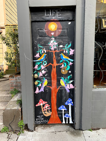
Life
2.6 km
Explore Life, a boutique gift shop in Lower Haight, San Francisco, offering unique aromatherapy, jewelry, candles, and artisan treasures.
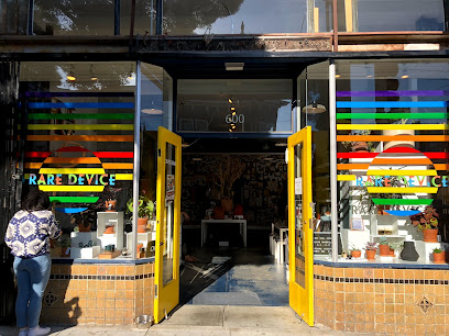
Rare Device
2.6 km
Explore Rare Device in San Francisco for a unique gift shopping experience with local art and eclectic finds.
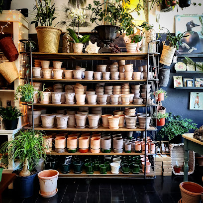
COVE
2.7 km
Discover unique gifts at COVE, a charming shop in San Francisco's Lower Haight, showcasing local artisans and eclectic treasures.
The Perish Trust
2.7 km
Discover unique gifts and local art at The Perish Trust, a charming shop in San Francisco's Fillmore District that celebrates creativity and craftsmanship.
State Of Flux Shop
2.8 km
Explore the vibrant fashion scene of San Francisco at State of Flux Shop, a unique men's clothing store in the heart of the Mission District.
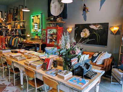
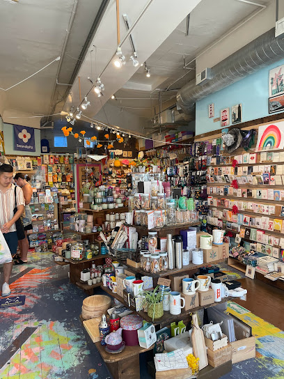
Serendipity Cards and Gifts
2.8 km
Explore the whimsical world of Serendipity Cards and Gifts in San Francisco's Mission District – a treasure trove of unique cards and delightful souvenirs.
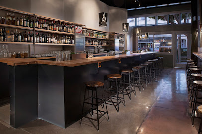
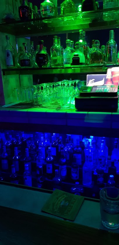
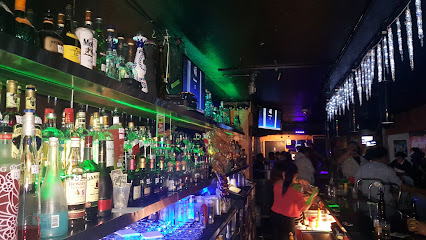
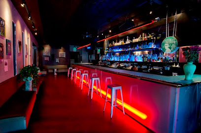
Essential bars & hidden hideouts
Brioche Bakery & Cafe
1.7 km
Indulge in artisanal pastries and exceptional brunch at Brioche Bakery & Cafe, a must-visit gem in San Francisco's Haight-Ashbury.
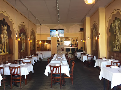
Tara Indian Cuisine
2.2 km
Experience the vibrant flavors of India at Tara Indian Cuisine in San Francisco's Castro district, where tradition meets modern dining.
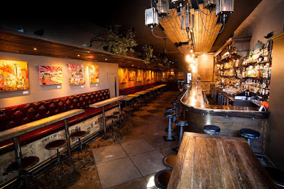
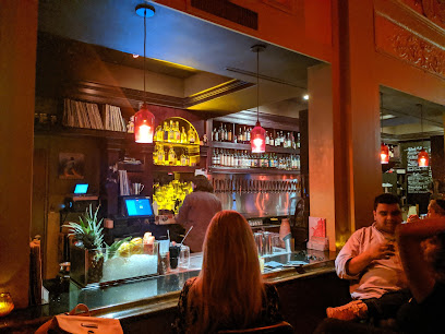
Blackbird
2.4 km
Experience the best of San Francisco nightlife at Blackbird Bar, where craft cocktails and a vibrant atmosphere await.
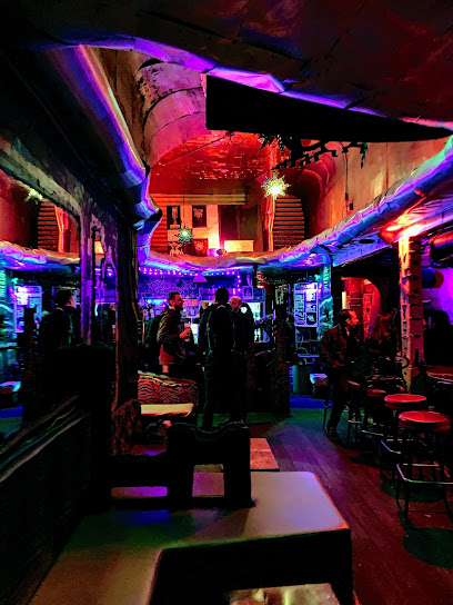
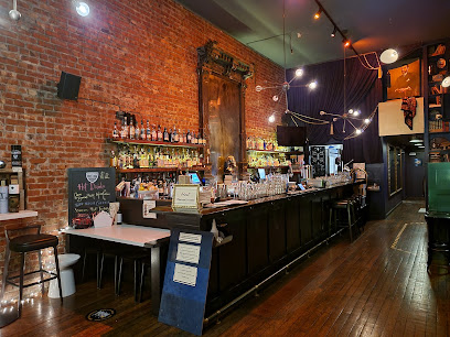
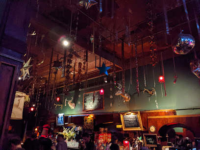
Noc Noc
2.6 km
Discover Noc Noc, a vibrant bar in San Francisco's Lower Haight, offering creative cocktails and a unique atmosphere perfect for relaxing and socializing.
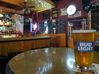
Friends Bar
2.6 km
Experience the vibrant nightlife at Friends Bar in San Francisco's Sunnyside, where affordable drinks and a friendly atmosphere await.
The Beehive
2.8 km
Explore The Beehive, San Francisco's cocktail bar renowned for its inventive drinks and lively ambiance in the heart of the Mission District.
ABV
2.8 km
Discover ABV in San Francisco: a vibrant bar and restaurant known for its craft cocktails and seasonal dishes, perfect for any culinary adventure.
Bear Vs. Bull
2.9 km
Discover the vibrant atmosphere and exquisite flavors at Bear Vs. Bull, a premier cocktail bar in San Francisco's Mission District.
Casements Bar
3.0 km
Experience the lively spirit of San Francisco at Casements Bar, a unique Irish pub and cocktail haven in the Mission District.
Mission Bar
3.0 km
Discover the vibrant nightlife and local flavors at Mission Bar, a beloved spot in San Francisco's Mission District.
The Sycamore
3.0 km
Experience the vibrant atmosphere of The Sycamore, a gastropub in San Francisco's Mission District, where delicious American cuisine meets an extensive wine selection.
Evil Eye
3.1 km
Discover the creative cocktail haven in San Francisco's Mission District, where unique drinks and a vibrant atmosphere await.
Dahlia SF
3.3 km
Experience the vibrant nightlife of San Francisco at Dahlia SF, a bar known for its creative cocktails and lively atmosphere in the heart of the Mission District.
Ocean Ale House
3.5 km
Discover the vibrant atmosphere of Ocean Ale House, a premier bar in San Francisco offering a diverse selection of craft beers and delightful food pairings.
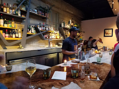
True Laurel
3.7 km
Discover the vibrant flavors and innovative cocktails at True Laurel, a must-visit cocktail bar and restaurant in San Francisco's Mission District.
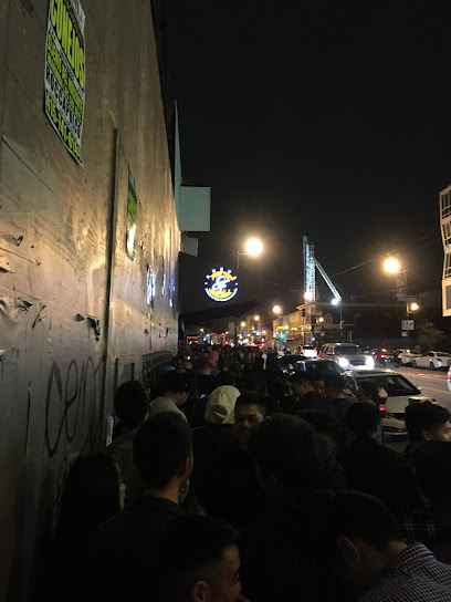
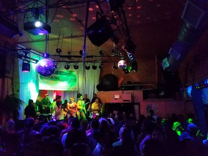
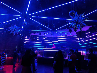
Nightclubs & after hour spots
The Valencia Room
2.9 km
Discover the vibrant nightlife of San Francisco at The Valencia Room, where live music, dancing, and delicious drinks come together for an unforgettable experience.
Make-Out Room
2.9 km
Discover San Francisco's eclectic nightlife at the Make-Out Room, a vibrant night club in the Mission District known for its lively atmosphere and diverse music scene.
ECHO SFC
3.0 km
Discover the electric nightlife at ECHO SFC in San Francisco's Mission District, where vibrant music and dance come alive.
Club Malibu
3.1 km
Discover the electrifying atmosphere of Club Malibu, the heart of San Francisco's nightlife, offering diverse music and unforgettable experiences.
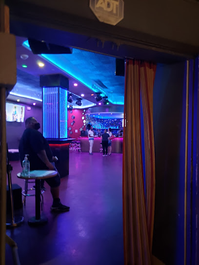
Lucitas Nightclub
3.1 km
Discover the lively ambiance and delightful drinks at Lucitas Nightclub, a must-visit bar in San Francisco's Bernal Heights neighborhood.
Club 26 Mix
3.1 km
Discover the energetic nightlife of San Francisco at Club 26 Mix, where vibrant music and lively crowds create unforgettable nights.
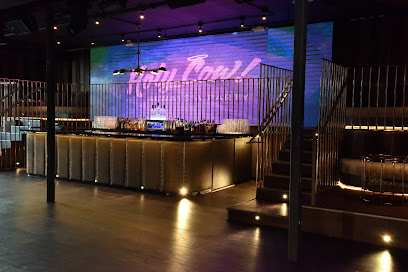
Stratos Nightclub
3.7 km
Dive into the electrifying nightlife of Stratos Nightclub, where music, dance, and unforgettable moments come together in San Francisco's vibrant scene.
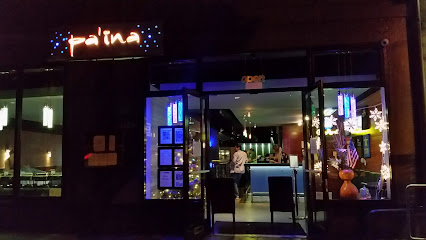
Pa'ina Restaurant & Lounge
3.8 km
Experience the vibrant flavors of Hawaiian cuisine at Pa'ina Restaurant & Lounge in San Francisco's Japantown, a perfect blend of food and festive atmosphere.
Eve Nightclub & Lounge
3.8 km
Experience the pulse of San Francisco's nightlife at Eve Nightclub & Lounge, where electrifying music and a chic atmosphere come together for an unforgettable night.
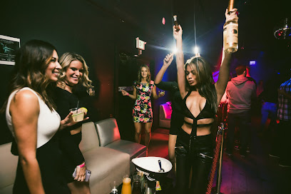
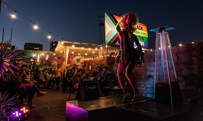
OASIS
3.8 km
Experience the vibrant nightlife at Oasis, a premier gay night club in San Francisco's SoMa district, featuring live performances and an inclusive atmosphere.
Halcyon SF
3.9 km
Discover the electrifying nightlife at Halcyon SF, a premier night club in San Francisco's SoMa district, where music and fun never stop.
Audio Nightclub
3.9 km
Discover the vibrant nightlife at Audio Nightclub, a premier destination for music lovers and cocktail enthusiasts in San Francisco's SoMa district.
DNA Lounge
3.9 km
Discover the energy of DNA Lounge, a versatile night club in San Francisco offering food, music, and nightlife in a vibrant atmosphere.
F8 Nightclub & Bar
4.4 km
Discover the pulse of San Francisco nightlife at F8 Nightclub & Bar, where music, art, and community come together for an unforgettable experience.
Cat Club
4.4 km
Experience San Francisco's nightlife at Cat Club, where eclectic music meets vibrant energy in the heart of SoMa.