Bay Bridge, Oakland Travel Guide
Experience the grandeur of the Bay Bridge, a vital link between San Francisco and Oakland with stunning views and rich history.
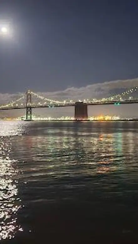
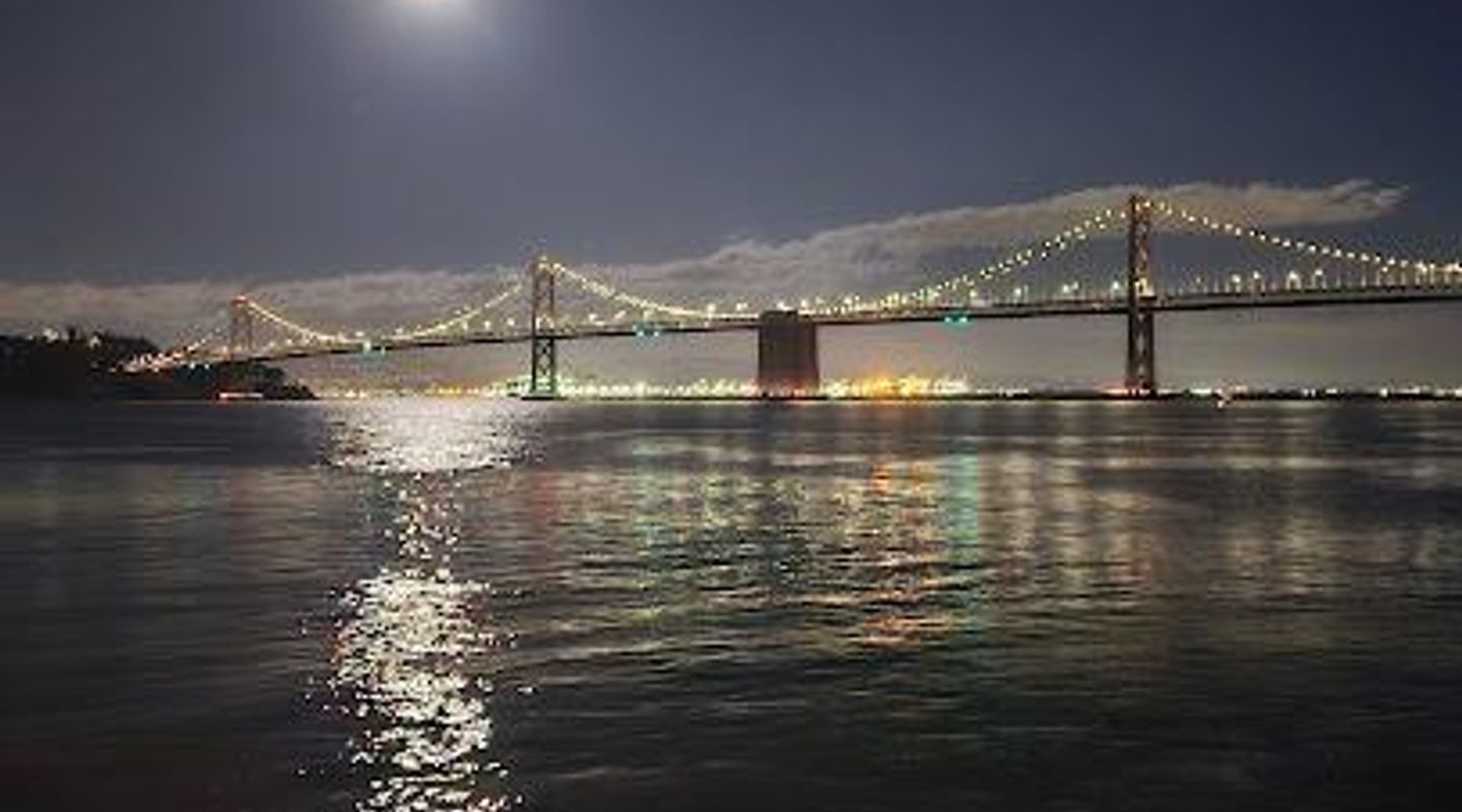
The Bay Bridge, officially the San Francisco-Oakland Bay Bridge, is a complex of bridges spanning the San Francisco Bay, linking San Francisco to Oakland. Opened in 1936, it's a vital transportation artery and an iconic landmark, carrying approximately 260,000 vehicles daily.
A brief summary to Bay Bridge
- San Francisco, Rincon Hill, California, 94111, US
- Click to display

Know before you go
Hi, I'm Eve. Here are a few practical things to know before exploring Bay Bridge.
- Visit during off-peak hours to avoid heavy traffic and enjoy a smoother crossing.
- Take advantage of the Bay Bridge Trail, a 2.2-mile path for pedestrians and cyclists to access Treasure Island.
- For the best views, consider stopping at Treasure Island or Yerba Buena Island.
- Check the Bay Bridge website for information on special events, guided tours, and potential closures.
Do you manage this location?
Take control to get all the benefits, like improved information, better appearance, and stronger visibility across AI-powered discovery. Learn more about listing your business on Evendo
Activate your presenceOther nearby places you may find interesting
The closest places of the same kind, if this one is not quite what you had in mind.
Explore Bay Bridge on the Map
A handpicked selection of must-see spots near Bay Bridge, mapped for you.
Unlock the Best of Bay Bridge
Buy tickets
-
No tickets available
Book tours with entry
-
No tours available
Book tours without entry

Getting There
-
Driving
If you're driving from San Francisco, take I-80 East towards Oakland. Tolls are collected in the westbound direction (towards San Francisco). As of July 2025, the toll for solo drivers is $8. Carpools (3+ people) pay $4 during carpool hours (weekdays 5 AM - 10 AM and 3 PM - 7 PM). Make sure you have a FasTrak account or be prepared for toll-by-plate. From Oakland, take I-80 West towards San Francisco. Be prepared for heavy traffic during peak hours. Parking near the bridge in San Francisco can be challenging and expensive. Consider using public transportation.
-
Public Transport
To reach the Bay Bridge from San Francisco via public transport, several options are available. BART (Bay Area Rapid Transit) trains connect to stations near the bridge in both San Francisco and Oakland. AC Transit buses also provide service to the area. From the Transbay Terminal in San Francisco, several bus lines will get you close to the bridge. A single ride on BART within San Francisco costs between $2.10 and $4.05, depending on the distance. AC Transit bus fare is $2.50. From Oakland, you can take BART or AC Transit to reach the bridge. The Bay Bridge Trail can be accessed from the MacArthur BART station via bike, riding west on 40th Street, which turns into Shellmound Street. The trailhead is across from IKEA.
-
Walking
While you can't walk the entire Bay Bridge, you can access the Bay Bridge Trail from Oakland, which leads to Treasure Island. To get to the trailhead, take AC Transit Transbay NL bus and get off at Maritime Street. The trailhead is at 210 Burma Road, approximately half a mile west of the intersection of Maritime Street and Burma Road. Limited five-hour parking is available at the Bay Bridge Trail parking lot at the Bridge Yard building at 210 Burma Road. The Bay Bridge Trail is open 24 hours a day, 7 days a week from the trailhead on Shellmound Street in Emeryville to the Caltrans Bridge Yard building at 210 Burma Road, Oakland.
Discover more about Bay Bridge













Your all‑in‑one travel companion app
Explore expert travel guides, compare and book tours, experiences, hotels, and more—all from the palm of your hand. Download now for seamless trip planning wherever your wanderlust takes you.


Explore More of Oakland
Looking beyond Bay Bridge? Discover Oakland for broader travel guides, local hot-spots, and regional highlights.
Explore Oakland