
From Eve
Know before you go
Hi, I'm Eve. Here are a few practical things to know before exploring Chamise Peak.
Local know-how to help you travel smarter and make the most of every moment.

Experience the stunning vistas and diverse wildlife at Chamise Peak, a premier hiking destination in Redding, California.
Chamise Peak, located in Redding, California, is a breathtaking hiking destination that offers stunning views, diverse flora, and a chance to connect with nature. Perfect for outdoor enthusiasts, this peak is a must-visit for tourists seeking adventure and spectacular scenery.
Opening times, essentials, and a few local tips gathered into one calmer, easier-to-scan planning section.
Hi, I'm Eve. Here are a few practical things to know before exploring Chamise Peak.
Local know-how to help you travel smarter and make the most of every moment.
Walking
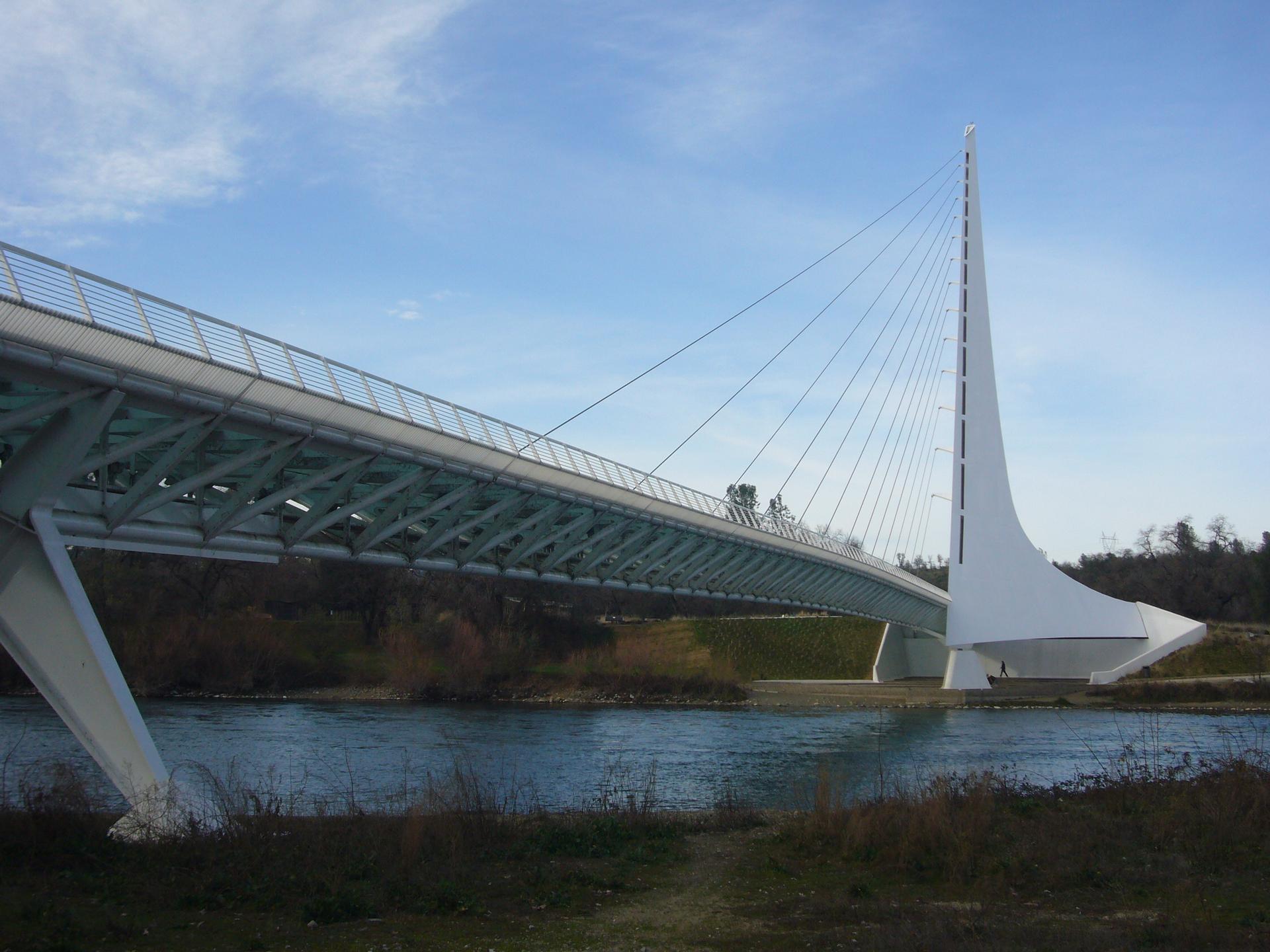
Start at the Redding city center, near the Turtle Bay Exploration Park. Head east on Parkview Ave toward the Sacramento River. Cross the river using the Sundial Bridge, and continue on the walking path that follows the river. After about a mile, take a left onto the trail leading into the hills toward Chamise Peak. Follow the trail signs directing you to Chamise Peak, which is approximately 3 miles from the bridge.
Biking
Begin at the Redding city center, and head towards the Sacramento River on Parkview Ave. Use the bike paths that run along the river, and cross the Sundial Bridge. Once across, continue on the bike path until you reach the trailhead for Chamise Peak. This route is about 5 miles in total and offers scenic views along the way.
Public Transit + Walking
Take the local bus (RABA) from the downtown transit center to the nearest stop for the Flanagan Trailhead. Check the RABA schedule for exact routes and times. After getting off, walk approximately 1 mile up to the trailhead for Chamise Peak. Follow the established hiking trails leading to the peak.
Use Chamise Peak as your starting point for nearby food, family ideas, nightlife, and more local discoveries.

Explore expert travel guides, compare and book tours, experiences, hotels, and more—all from the palm of your hand. Download now for seamless trip planning wherever your wanderlust takes you.
Discover Redding, the gateway to Northern California's stunning landscapes, outdoor adventures, and vibrant cultural experiences, perfect for nature lovers and explorers.
Tell me more about Redding


