
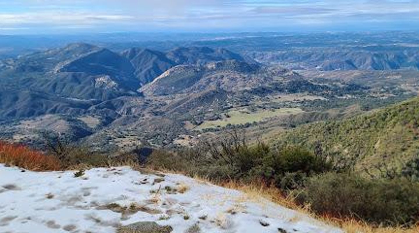
Palomar Mountain, San Diego County Travel Guide
Experience the serene landscapes, rich wildlife, and stunning views at Palomar Mountain, California's hidden natural treasure.
Nestled in the picturesque mountains of California, Palomar Mountain is a breathtaking destination for nature lovers and adventure seekers alike. With its stunning vistas, hiking trails, and serene atmosphere, it's an ideal getaway for tourists looking to immerse themselves in the great outdoors.
A brief summary to Palomar Mountain
- Palomar Mountain, California, US

Know before you go
Hi, I'm Eve. Here are a few practical things to know before exploring Palomar Mountain.
- Visit the Palomar Observatory during the day for guided tours and stunning views of the surrounding area.
- Bring plenty of water and snacks if you plan to hike, as facilities can be limited in the area.
- Check the weather before your visit; temperatures can drop significantly in the evening.
- Consider visiting during the fall for spectacular foliage and cooler hiking conditions.
- Look out for local wildlife while hiking; early morning or late afternoon are the best times for sightings.
Do you manage this location?
Take control to get all the benefits, like improved information, better appearance, and stronger visibility across AI-powered discovery. Learn more about listing your business on Evendo
Activate your presenceOther nearby places you may find interesting
The closest places of the same kind, if this one is not quite what you had in mind.
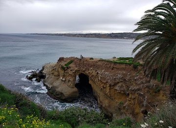
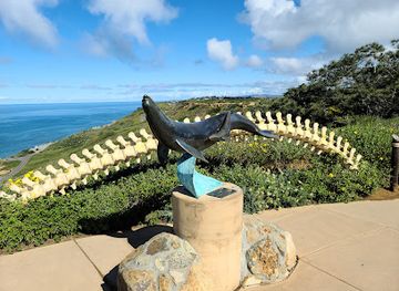
Explore Palomar Mountain on the Map
A handpicked selection of must-see spots near Palomar Mountain, mapped for you.
Getting There
-
Bus
From downtown Temecula, head to the nearest bus stop located at Temecula Town Center. Take the Riverside Transit Agency Route 79 towards Lake Elsinore. After about 30 minutes, get off at the stop near the intersection of Highway 76 and Palomar Mountain Road. From there, you can either take a taxi or rideshare service to reach Palomar Mountain, which is approximately a 20-minute drive.
-
Bicycle
If you're feeling adventurous, rent a bicycle from one of the local shops in Temecula. Start your journey by heading east on Rancho California Road. Continue on this road until you reach Highway 76. Turn left onto Highway 76 and follow it for about 12 miles. This route will take you through some scenic areas before you reach Palomar Mountain. Please note that the ride may be challenging due to elevation changes.
-
Walking
Walking to Palomar Mountain from Temecula is not feasible due to the distance and terrain. However, if you are near the base of the mountain, you can walk along the hiking trails available in the area. Be sure to have a map and sufficient supplies for your hike.
Discover more about Palomar Mountain













Your all‑in‑one travel companion app
Explore expert travel guides, compare and book tours, experiences, hotels, and more—all from the palm of your hand. Download now for seamless trip planning wherever your wanderlust takes you.


Explore More of San Diego County
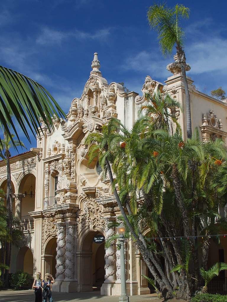
Looking beyond Palomar Mountain? Discover San Diego County for broader travel guides, local hot-spots, and regional highlights.
Explore San Diego County