Site of Blossom Rock Navigation Trees: A Maritime Legacy
Discover Oakland's maritime history at the Site of Blossom Rock Navigation Trees, where towering redwoods once guided ships through the treacherous San Francisco Bay.
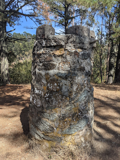
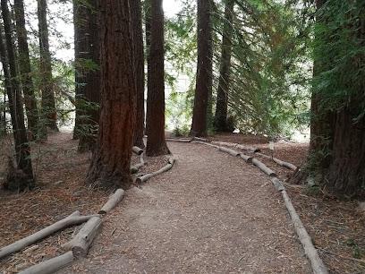
The Site of Blossom Rock Navigation Trees, nestled within Oakland's Roberts Regional Recreation Area, marks a poignant chapter in San Francisco Bay's maritime history. Once towering redwood trees, these natural giants served as crucial navigational aids for mariners navigating the treacherous Blossom Rock, a submerged hazard in the bay. In the 19th century, sailors aligned these conspicuous trees with Yerba Buena Island to safely navigate the channel. Though the original trees were logged in the mid-1800s, sprouts from their stumps remain, bearing witness to a bygone era of seafaring and the ingenuity of early navigation techniques. Today, the site offers a tranquil escape amidst redwood groves, inviting visitors to reflect on the region's rich nautical past and the enduring power of nature's landmarks. The area provides a peaceful atmosphere where history blends seamlessly with nature, ideal for leisurely strolls and photography enthusiasts.
A brief summary to Site of Blossom Rock Navigation Trees
- 085 000100201, Oakland, CA, 94619, US
Local tips
- Visit the site during the week to avoid weekend crowds and enjoy a more peaceful experience.
- Combine your visit with a hike in Redwood Regional Park for a full day of outdoor adventure.
- Bring a picnic to enjoy in the Madrone Picnic Area, surrounded by the beauty of the redwood forest.
Getting There
-
Driving
From downtown Oakland, take Highway 13 (the Warren Freeway) north towards Redwood Road. Take the Redwood Road exit and follow Redwood Road up the hill. Turn left onto Skyline Boulevard. Roberts Regional Recreation Area will be on your right in approximately one mile. Follow signs for the Madrone Picnic Area. Parking at Roberts Regional Recreation Area costs $5 per vehicle.
-
Public Transport
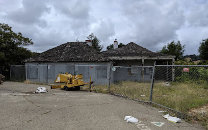
From downtown Oakland, take BART to the MacArthur station. Transfer to AC Transit bus #46 towards Skyline Boulevard. The bus stops at the intersection of Skyline Blvd. and Joaquin Miller Road. From there, it is approximately a 1-mile walk uphill along Skyline Boulevard to the entrance of Roberts Regional Recreation Area. Check AC Transit schedules for current fares and times. From behind the former headquarters building, it is 1.08 miles along the Dunn and Graham trails to Roberts.
Discover more about Site of Blossom Rock Navigation Trees
Iconic landmarks you can’t miss
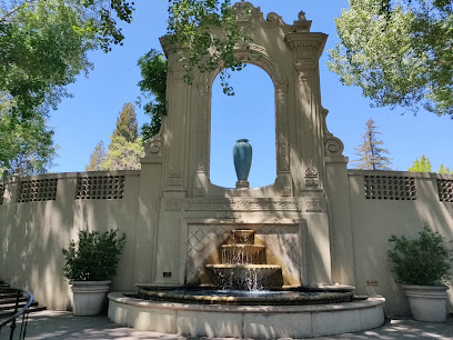
The Browning Monument
1.2 km
Explore the Browning Monument in Oakland's Joaquin Miller Park, a serene historical landmark honoring the legacy of poet Robert Browning amidst nature's beauty.
Joaquin Miller Abbey
1.6 km
Explore the historical beauty of Joaquin Miller Abbey, a serene landmark nestled in the lush landscapes of Joaquin Miller Park in Oakland, California.
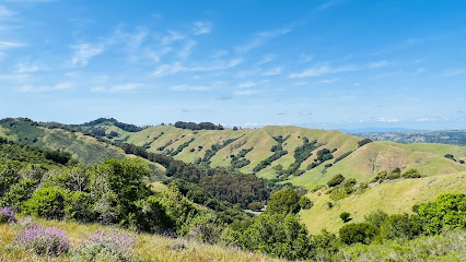
Leona Heights Park
2.0 km
Experience the natural beauty and tranquility of Leona Heights Park in Oakland, California, where stunning views and serene trails await your exploration.
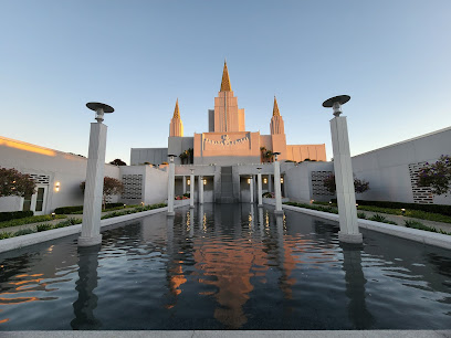
Oakland California Temple
2.2 km
Experience peace and beauty at the Oakland California Temple, a stunning architectural gem surrounded by serene gardens in the heart of Oakland, CA.
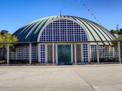
Ascension Cathedral
2.4 km
Discover the exquisite beauty and tranquility of Ascension Cathedral, a Greek Orthodox gem in Oakland's Lincoln Highlands, perfect for spiritual reflection and cultural exploration.
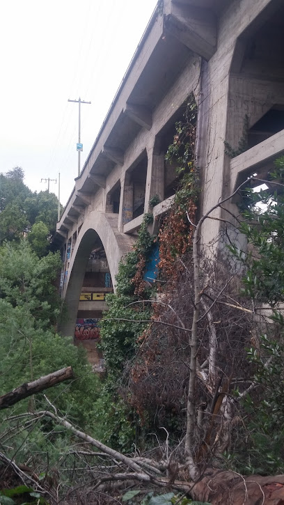
Leimert Bridge
3.5 km
Discover the beauty and artistry of Leimert Bridge in Oakland, a scenic landmark that connects communities and showcases local culture.
Joaquin Moraga Adobe (California Historical Landmark No. 509)
4.0 km
Explore the Joaquin Moraga Adobe, a historical landmark in Orinda, California, showcasing the essence of early Californian architecture and culture.
Peralta Hacienda Historical Park
4.6 km
Explore the historical essence and natural beauty of Peralta Hacienda Historical Park in Oakland, a serene retreat that celebrates California's rich heritage.
Evelyn Cottage
5.7 km
Discover the serene charm of Evelyn Cottage, a historical landmark in Oakland's Cleveland Heights, perfect for relaxation and exploration.
Cohen Bray House
5.9 km
Explore the rich history of Oakland at the Cohen Bray House, a captivating museum filled with authentic artifacts from the early 20th century.
Side show and hood of Oakland
5.9 km
Discover the rich history and vibrant culture of Oakland at the iconic Side Show and Hood, a landmark that tells the city's unique story.
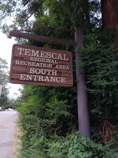
Temescal South Entrance
5.9 km
Explore the serene trails and breathtaking vistas at Temescal South Entrance, a natural oasis in Oakland perfect for outdoor adventures and relaxation.
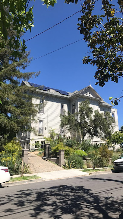
Ellen Kenna House
6.1 km
Discover the historic Ellen Kenna House in Oakland's East Lake district, a charming landmark showcasing early 20th-century architecture and local culture.
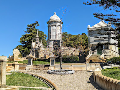
Merritt Mausoleum
6.2 km
Discover the Merritt Mausoleum, a historical landmark in Oakland, CA, celebrating the city's rich heritage amidst serene gardens and stunning architecture.
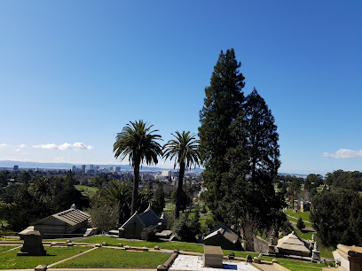
Piedmont Funeral Services and Mountain View Cemetery
6.6 km
Explore the tranquil beauty of Piedmont Funeral Services and Mountain View Cemetery in Oakland, where history and serenity meet stunning Bay Area views.
Unmissable attractions to see
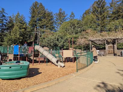
Roberts Regional Recreation Area
0.4 km
Discover Oakland's Redwood Retreat: Hike scenic trails, picnic among towering trees, and enjoy family fun at Roberts Regional Recreation Area, a natural escape in the East Bay.
Joaquin Miller Park
1.0 km
Discover Oakland's Joaquin Miller Park: Hike redwood trails, explore historic monuments, and escape to nature in the heart of the East Bay.
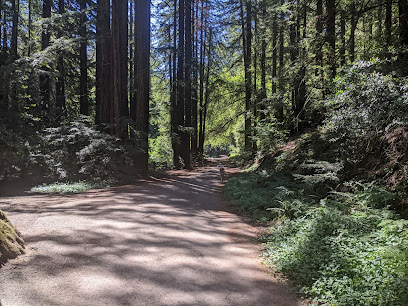
Reinhardt Redwood Regional Park
1.0 km
Experience the serene beauty and towering redwoods of Reinhardt Redwood Regional Park, a breathtaking natural retreat in Oakland, California.
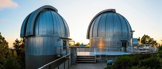
Chabot Space & Science Center
1.0 km
Discover the cosmos at the Chabot Space & Science Center, where exploration and education collide in an interactive experience for all ages.
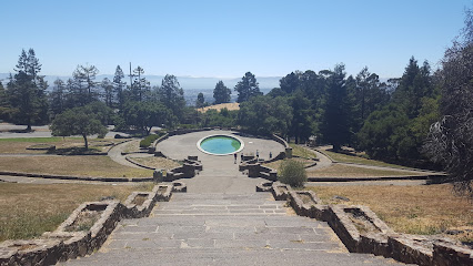
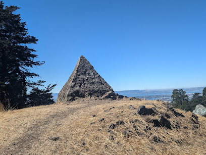
Pyramid to Moses
1.5 km
Explore the stunning Pyramid to Moses in Joaquin Miller Park—an iconic monument offering breathtaking views and a serene hiking experience.
Reinhardt Redwood Regional Park Redwood Gate
2.8 km
Discover the breathtaking beauty of Reinhardt Redwood Regional Park, a serene escape into nature's wonders in Oakland, California.
Leona Canyon Regional Open Space Preserve
3.8 km
Discover Oakland's hidden gem: Leona Canyon Regional Open Space Preserve, a tranquil escape with wooded trails and stunning views in the heart of the East Bay.
Huckleberry Botanic Regional Preserve
4.0 km
Explore a unique East Bay treasure: rare native plants, stunning views, and a peaceful escape in the Oakland Hills' Huckleberry Botanic Regional Preserve.
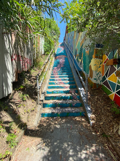
Carrington Steps
4.7 km
Discover Oakland's hidden gem: The Carrington Steps, a vibrant blend of community art and urban pathway in the Harrington neighborhood.
Piedmont Park
5.3 km
Discover the natural beauty and recreational charm of Piedmont Park, a perfect urban oasis in California for relaxation and outdoor fun.
Sibley Volcanic Regional Preserve
5.5 km
Hike through volcanic history, explore scenic trails, and discover panoramic views at Oakland's unique Sibley Volcanic Regional Preserve.
Coliseum Gardens
6.3 km
Experience the serene beauty of Coliseum Gardens in Oakland, a perfect urban park for relaxation, picnics, and outdoor activities.
Ostrander Park
6.4 km
Experience the tranquil beauty of Ostrander Park in Oakland, a perfect escape for nature lovers and families with scenic views and lush greenery.
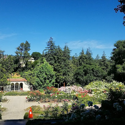
Morcom Rose Garden
6.4 km
Discover Oakland's hidden gem: a historic rose garden with thousands of blooms, tranquil water features, and winding paths for a serene escape.
Splash Pad Park
6.5 km
Discover Splash Pad Park in Oakland, a family-friendly destination with a fun splash pad, picnic areas, and scenic views of Lake Merritt.
Essential places to dine
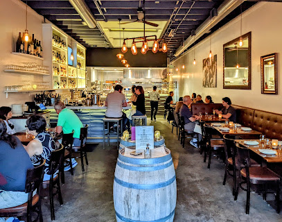
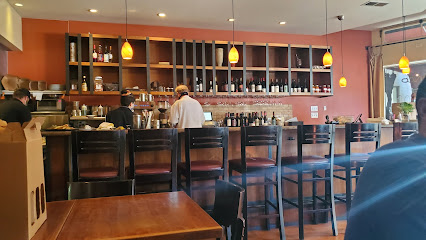
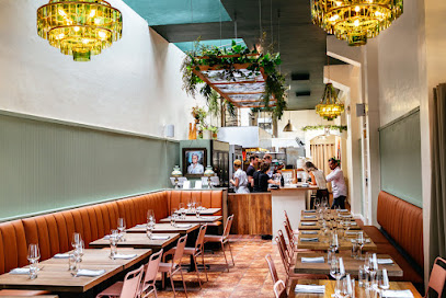
Perle Wine Bar and Restaurant
3.5 km
Discover a delightful blend of French and Italian cuisine at Perle Wine Bar in Oakland's scenic Montclair district.
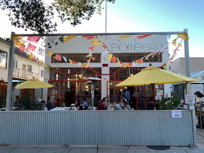
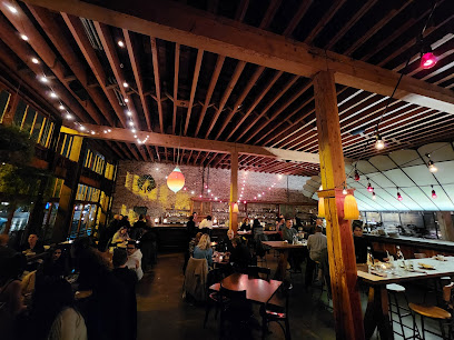
Bombera
3.8 km
Experience the vibrant flavors of Mexico at Bombera, Oakland's premier destination for authentic Mexican cuisine and craft cocktails.
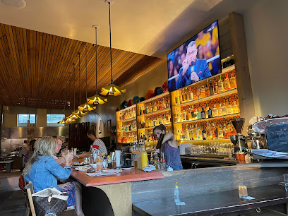
Bellanico Restaurant and Wine Bar
4.2 km
Discover authentic Italian flavors at Bellanico Restaurant and Wine Bar in Glenview, Oakland – where every meal is a delightful journey through Italy.
Shakewell
6.0 km
Experience the vibrant flavors of Mediterranean cuisine at Shakewell in Oakland—your destination for delicious small plates and lively brunches.
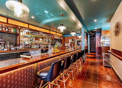
Bardo Lounge & Supper Club
6.1 km
Discover a unique fusion of American cuisine and vibrant nightlife at Bardo Lounge & Supper Club in Oakland.
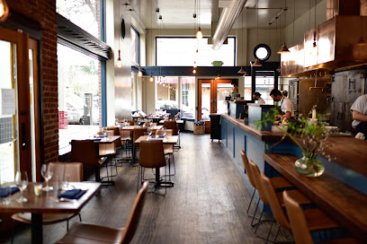
Almond and Oak
6.4 km
Discover seasonal delights at Almond and Oak in Oakland's Grand Lake neighborhood – where local flavors meet artisanal craftsmanship.
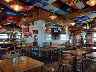
Quinn's Lighthouse
6.9 km
Discover Quinn's Lighthouse: Enjoy American cuisine with seafood specialties in a stunning waterfront setting in Oakland.
MAMA Oakland
7.0 km
Discover authentic Italian flavors at MAMA Oakland – where exquisite cuisine meets a cozy atmosphere in the heart of California's vibrant culinary scene.
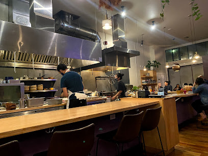
Pomet
7.1 km
Experience innovative Californian cuisine at Pomet in Oakland - where local flavors meet creative culinary artistry.
Enssaro Ethiopian Restaurant
7.2 km
Savor authentic Ethiopian cuisine at Enssaro Restaurant in Oakland – where rich flavors meet vibrant culture.
Portal
7.2 km
Discover Portal in Oakland: where inventive brunch meets inviting ambiance for an unforgettable culinary experience.
Commis
7.2 km
Experience exceptional American fine dining at Commis in Oakland - where culinary artistry meets seasonal ingredients for an unforgettable meal.
The Wolf
7.3 km
Experience the best of Californian cuisine at The Wolf in Oakland - where fresh ingredients meet creative culinary artistry.
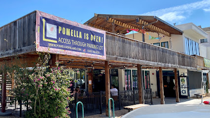
Pomella
7.3 km
Discover Pomella in Oakland for an unforgettable journey through authentic Middle Eastern cuisine with unique flavors and warm hospitality.
Mägo
7.3 km
Experience exquisite fine dining at Mägo in Oakland, where Latin American flavors come alive in every dish.
Markets, malls and hidden boutiques
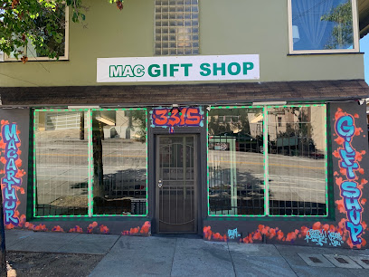
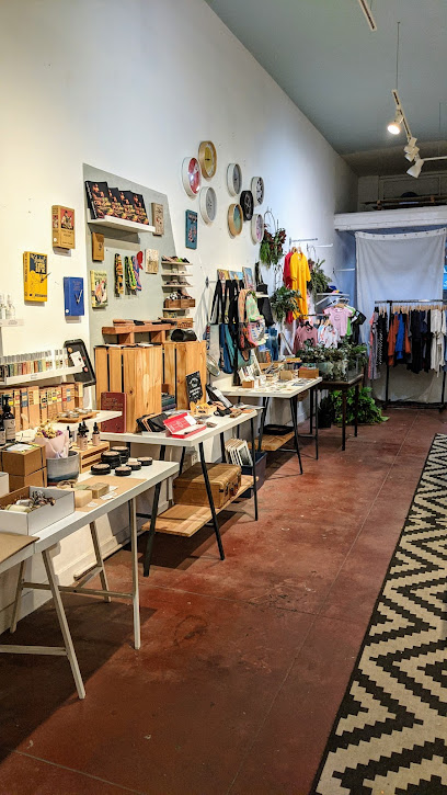
Mac Gift Shop
3.0 km
Explore Oakland's vibrant culture through unique gifts at Mac Gift Shop, your go-to destination for local artisan products.
Mischief
3.0 km
Explore Mischief, a vibrant gift shop and art school in Oakland, where creativity and unique treasures await every visitor.
Pelago
3.6 km
Explore the charming gift shop Pelago in Oakland, offering unique treasures and locally sourced crafts perfect for memorable gifts.
Folks' Art
3.6 km
Explore Oakland's creative spirit at Folks' Art, your go-to gift shop for unique handmade treasures and local artistry.

E-Z Exotic Gift Shop
4.4 km
Discover unique treasures at E-Z Exotic Gift Shop in Oakland, where every item reflects the vibrant local culture.
All Things Vintage
4.4 km
Explore All Things Vintage in Oakland, California, where timeless fashion meets unique treasures for every style enthusiast.
Bass Gift Shop
5.6 km
Explore Bass Gift Shop, Oakland's vibrant novelty store, for unique gifts and local artisan treasures that capture the spirit of the community.
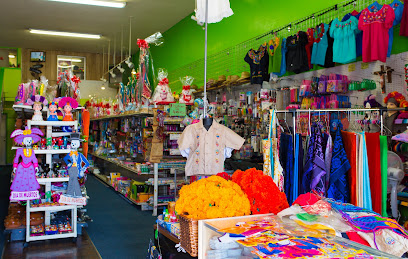
La Popular
5.7 km
Explore La Popular in Oakland for unique gifts and clothing that embody the rich cultural heritage of California's diverse community.
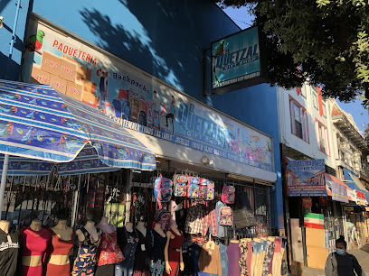
El Quetzal Gift Shop
5.8 km
Discover unique gifts and local artisan treasures at El Quetzal Gift Shop in Oakland's vibrant Fruitvale neighborhood.
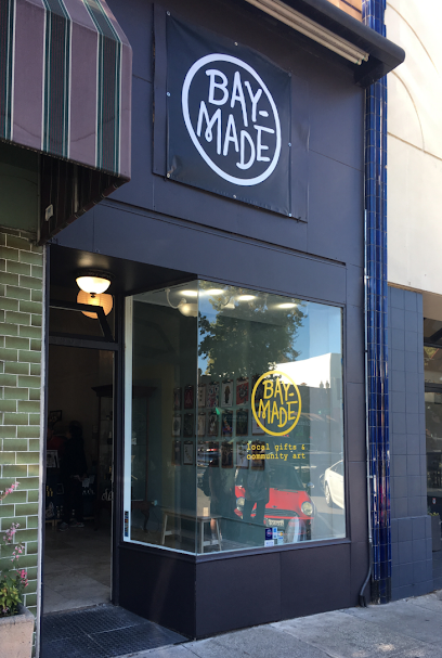
Bay-Made
6.1 km
Discover Bay-Made, a charming gift shop in Oakland offering unique, locally crafted treasures that capture the spirit of the Bay Area.
ReLove Oakland
6.4 km
Discover unique fashion treasures at ReLove Oakland, the ultimate destination for vintage clothing enthusiasts in California.
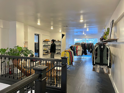
Two Two
6.5 km
Explore Two Two – a captivating blend of clothing and art in the heart of Oakland's Grand Lake neighborhood.
inner Desires Oakland
6.6 km
Discover unique fashion at Inner Desires, Oakland's premier boutique for eclectic clothing and accessories in a welcoming atmosphere.
LAKE VIEW GIFT SHOP
6.9 km
Explore the charm of Oakland at Lake View Gift Shop, where unique gifts and local treasures await every visitor.
Good Stock
7.0 km
Explore Good Stock in Oakland for unique jewelry and boutique treasures that celebrate local artisanship and creativity.
Essential bars & hidden hideouts
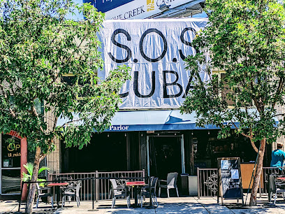
CAÑA Cuban Parlor & Cafe
6.3 km
Savor authentic Cuban cuisine at CAÑA Cuban Parlor & Cafe, Oakland's vibrant destination for delicious food and drinks.
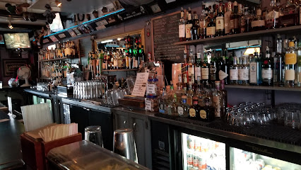
Heart & Dagger Saloon
6.4 km
Experience the vibrant nightlife at Heart & Dagger Saloon, Oakland's cozy bar featuring craft cocktails, friendly service, and a lively atmosphere.
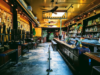
Room 389
7.0 km
Experience the vibrant atmosphere at Room 389, Oakland's dynamic bar and café, perfect for coffee lovers and cocktail enthusiasts alike.
The Lodge
7.3 km
Discover the cozy charm of The Lodge, a beloved bar in Oakland's Piedmont Avenue, offering craft cocktails, local brews, and a warm atmosphere.
McNally's Irish Pub
7.5 km
Discover the authentic taste of Ireland at McNally's Irish Pub in Oakland, where great food meets lively ambiance.
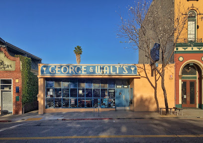
George & Walt's
7.6 km
Discover the vibrant atmosphere and delightful flavors at George & Walt's, Oakland's premier cocktail bar and grill.
Rockridge Improvement Club
7.7 km
Discover the lively atmosphere of Rockridge Improvement Club, Oakland's premier bar and event venue offering unique cocktails and vibrant entertainment.
Ben 'N Nick's Bar & Grill
7.7 km
Experience the vibrant flavors of Oakland at Ben 'N Nick's Bar & Grill, where gastropub meets American cuisine in a lively atmosphere.
Redfield Cider Bar & Bottle Shop
7.9 km
Discover the best of craft ciders at Redfield Cider Bar & Bottle Shop in Oakland, a perfect retreat for cider lovers and casual drinkers alike.
Beer Baron Whiskey Bar & Kitchen
7.9 km
Experience the perfect blend of grilled cuisine and whiskey at Beer Baron Whiskey Bar & Kitchen in Oakland, CA.
Mad Oak Bar ‘N’ Yard
8.0 km
Discover the lively Mad Oak Bar ‘N’ Yard in Downtown Oakland - a perfect blend of craft drinks, delicious bites, and a vibrant atmosphere.
The Graduate
8.1 km
Experience the vibrant atmosphere and friendly service at The Graduate, a lively bar in Oakland's Rockridge neighborhood, perfect for socializing and relaxation.
High 5ive Rooftop Bar
8.1 km
Experience breathtaking views and signature cocktails at High 5ive Rooftop Bar, Oakland's premier destination for relaxation and vibrant nightlife.
19th Street Station
8.1 km
Explore the lively cocktail culture at 19th Street Station, Downtown Oakland's go-to spot for crafted drinks and an inviting atmosphere.
Viridian
8.1 km
Experience the best of Pan-Asian cuisine and innovative cocktails at Viridian, a vibrant bar and restaurant in Downtown Oakland.
Nightclubs & after hour spots
Lounge 3411
3.0 km
Discover the vibrant nightlife at Lounge 3411 in Oakland's Dimond District, featuring live Blues music and a cozy atmosphere for all.
La Frontera Night Club
5.6 km
Experience the vibrant nightlife at La Frontera Night Club in Oakland, featuring live music, delicious food, and a lively atmosphere.
Kona Club
6.8 km
Discover Kona Club in Oakland: A tropical bar oasis with exotic cocktails, live music, and a vibrant atmosphere, perfect for a night out.
Ruby Room
7.9 km
Experience vibrant nightlife at The Ruby Room in Oakland, where stylish decor meets delicious drinks and unforgettable memories.
AU Lounge
8.0 km
Discover the vibrant nightlife at AU Lounge in Oakland, where expertly crafted cocktails and a lively atmosphere await.
Thee Stork Club
8.3 km
Discover the vibrant nightlife at Thee Stork Club, Oakland's premier night club and cocktail bar offering unforgettable experiences.
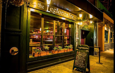
The Legionnaire Saloon
8.3 km
Experience the vibrant nightlife at the Legionnaire Saloon, Oakland's go-to karaoke bar for fun, music, and unforgettable memories.
New Karibbean City
8.3 km
Discover New Karibbean City in Oakland: A vibrant night club and Caribbean restaurant with authentic Jamaican cuisine and live music for a memorable night out.
Qué Rico Nightclub
8.4 km
Discover the vibrant nightlife of Qué Rico Nightclub, Oakland's premier gay bar and nightclub, offering great food, drinks, and unforgettable parties.
Level 13 Ultra Lounge
8.4 km
Immerse yourself in an upscale nightlife experience at Level 13 Ultra Lounge in Downtown Oakland, where elegance meets vibrant entertainment.
Fluid510
8.4 km
Discover the lively nightlife of Oakland at Fluid510, a vibrant lounge blending exquisite dining and a lively bar atmosphere.

Eli's Mile High Club
8.5 km
Experience the soulful sounds and delicious bites at Eli's Mile High Club, Oakland's premier blues venue and bar & grill.
Lux Oakland
8.5 km
Immerse yourself in the vibrant nightlife of Oakland at Lux Oakland, where stylish ambiance and dynamic music create an unforgettable experience.
Torch Oakland Rooftop Bar
8.6 km
Experience breathtaking city views and vibrant nightlife at Torch Oakland Rooftop Bar - a perfect blend of style, drinks, and atmosphere.
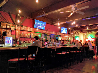
White Horse Inn
8.8 km
Experience the lively spirit and innovative cocktails of White Horse Inn, a welcoming bar in Oakland's vibrant nightlife scene.