From Eve
Know before you go
Hi, I'm Eve. Here are a few practical things to know before exploring Backbone Trail.
Local know-how to help you travel smarter and make the most of every moment.
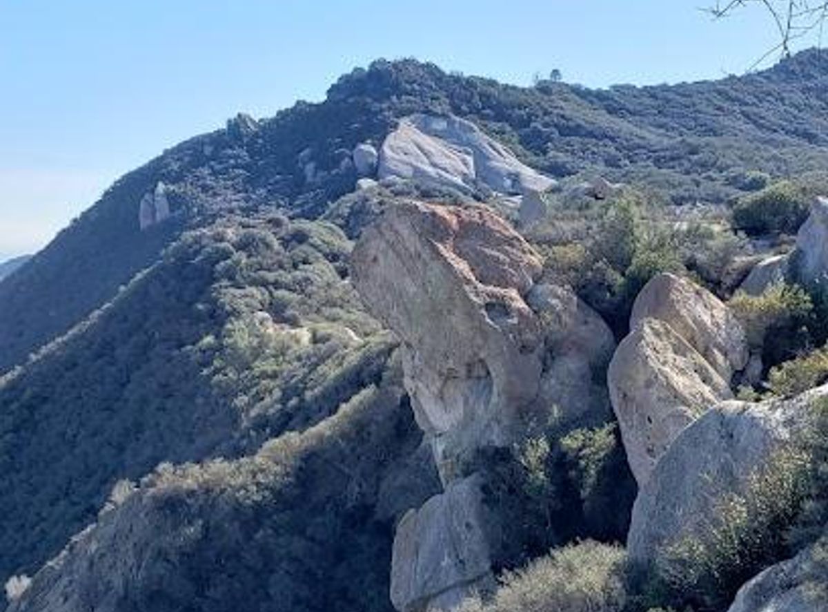
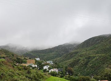
Hike the Backbone Trail: 67 miles of stunning views and diverse ecosystems in the heart of the Santa Monica Mountains.
The Backbone Trail is a 67-mile National Recreation Trail that traverses the Santa Monica Mountains, offering stunning views of the Pacific Ocean, Channel Islands, and diverse Mediterranean ecosystems. It's a challenging but rewarding hike through varied terrains, connecting state parks and wilderness areas.
Opening times, essentials, and a few local tips gathered into one calmer, easier-to-scan planning section.
Hi, I'm Eve. Here are a few practical things to know before exploring Backbone Trail.
Local know-how to help you travel smarter and make the most of every moment.
Driving
Access to the Backbone Trail is available via multiple trailheads, including Will Rogers State Historic Park, Trippet Ranch in Topanga State Park, and Point Mugu State Park. Parking is available at most trailheads, though some may have limited spaces. Check for parking restrictions and fees before you arrive. From Highway 101, exit onto Las Virgenes Road and follow signs to various trailheads. Note that some trailheads like Saddle Peak have limited parking on Stunt Road.
Public Transport
Public transportation options to Backbone Trail trailheads are limited. However, some trailheads may be accessible via bus routes. Check the Los Angeles Metro website for bus routes that serve the general vicinity of the Santa Monica Mountains. From bus stops, you may need to walk or use ride-sharing services to reach specific trailheads. Costs for public transport vary depending on distance, typically ranging from $1.75 for a single fare.
Use Tower Bridge as your starting point for nearby food, family ideas, nightlife, and more local discoveries.

Explore expert travel guides, compare and book tours, experiences, hotels, and more—all from the palm of your hand. Download now for seamless trip planning wherever your wanderlust takes you.
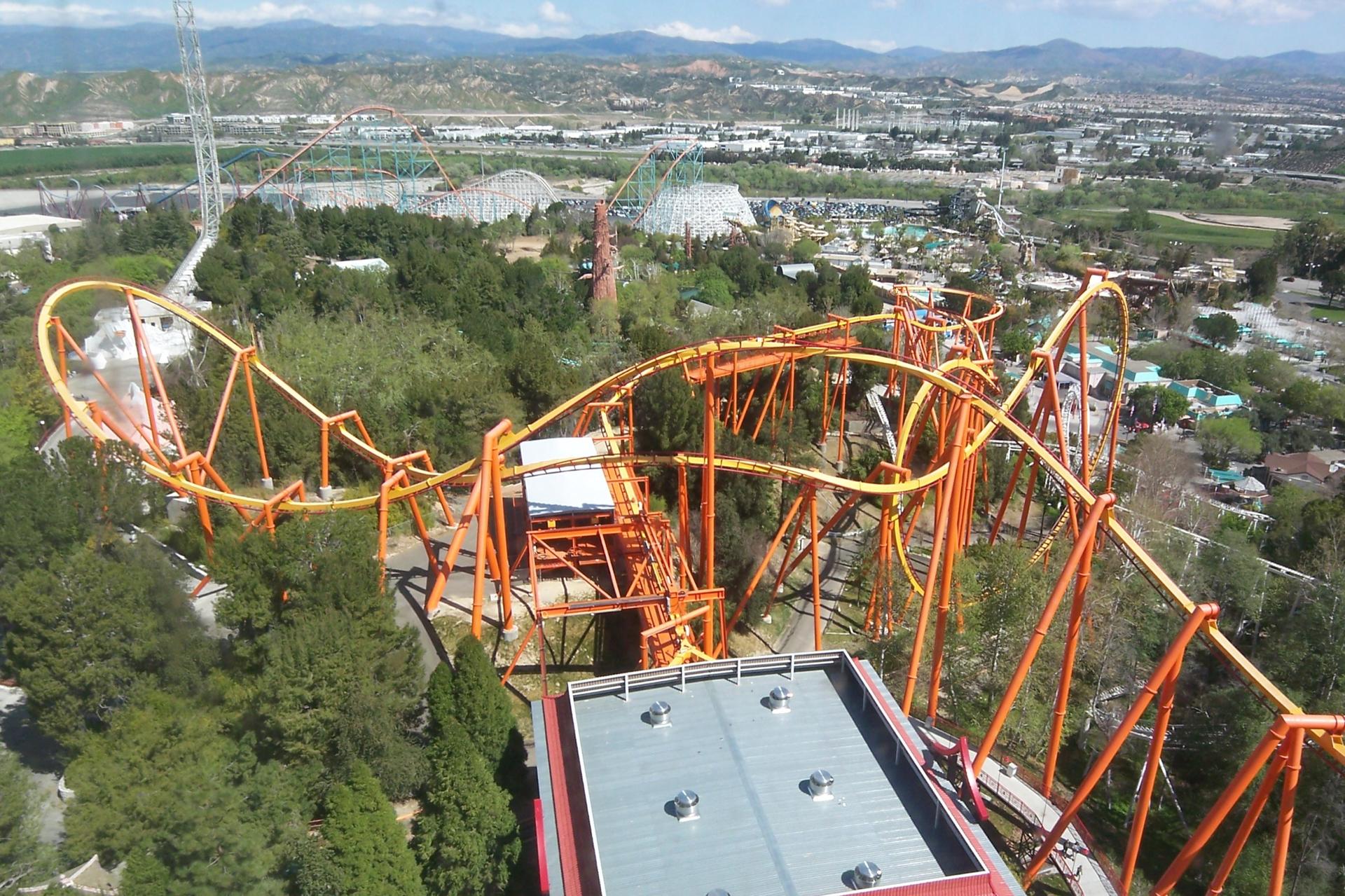
Discover the charm of Santa Clarita, a perfect blend of thrill, culture, and nature in Southern California. Experience world-class amusement parks, scenic parks, and rich local history.
Tell me more about Santa Clarita