McCloud River Falls Trailhead, Shasta Cascade Travel Guide
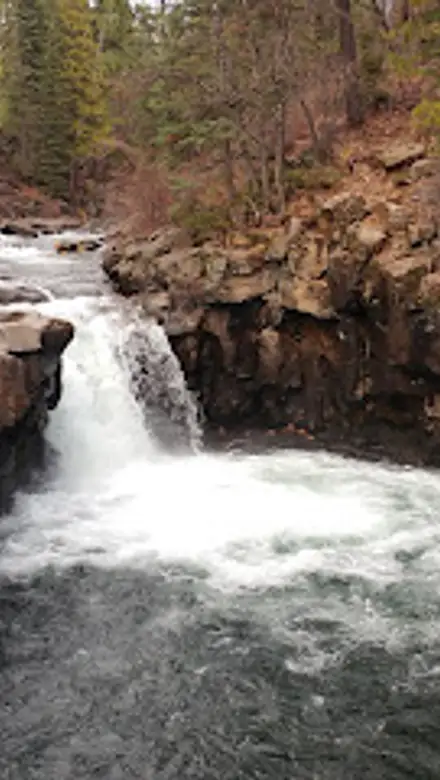
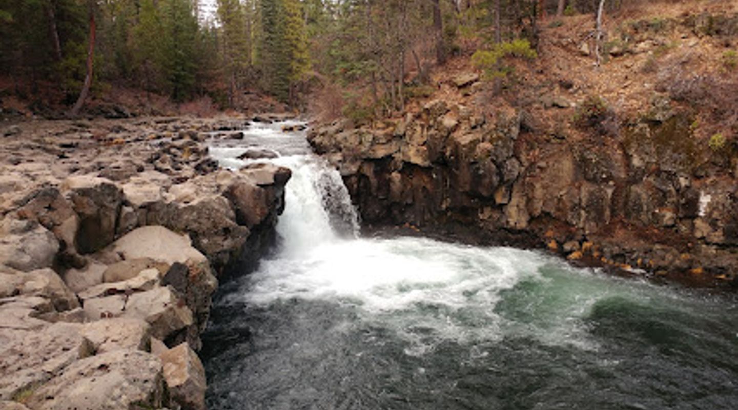
Discover three stunning waterfalls on a scenic trail along the McCloud River in Northern California's Shasta-Trinity National Forest.
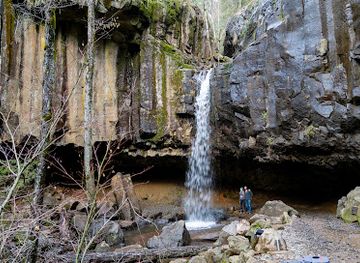
The McCloud River Falls Trailhead provides access to a stunning 3.8-mile (out and back) trail showcasing three tiers of waterfalls along the McCloud River. Located in the Shasta-Trinity National Forest near McCloud, California, it's a perfect escape into nature with options for hiking, swimming, and picnicking.
A brief summary to McCloud River Falls Trailhead
- McCloud, California, 96057, US
- Click to display
- Click to display
- Tuesday 8:30 am-4:30 pm
- Wednesday 8:30 am-4:30 pm
- Friday 8:30 am-4:30 pm
- Saturday 8:30 am-4:30 pm

Know before you go
Hi, I'm Eve. Here are a few practical things to know before exploring McCloud River Falls Trailhead.
- Visit during the summer months for the best swimming conditions in the refreshing pools below the Lower and Middle Falls.
- Arrive early, especially on weekends and holidays, to secure parking at the popular Lower Falls and Middle Falls areas.
- Bring appropriate footwear for hiking and navigating the rocky terrain around the waterfalls.
- Consider hiking the entire trail from Lower Falls to Upper Falls for the full experience, or opt for shorter segments by parking at each waterfall's designated area.
- Pack a picnic to enjoy at the day-use areas with picnic tables and BBQ grills available at the trailheads.
Do you manage this location?
Take control to get all the benefits, like improved information, better appearance, and stronger visibility across AI-powered discovery. Learn more about listing your business on Evendo
Activate your presenceOther nearby places you may find interesting
The closest places of the same kind, if this one is not quite what you had in mind.
Explore McCloud River Falls Trailhead on the Map
A handpicked selection of must-see spots near McCloud River Falls Trailhead, mapped for you.
Getting There
-
Driving
From McCloud, drive 5 miles southeast on Highway 89. Look for the Forest Service sign on the left for Fowlers and Lower Falls. Turn right onto McCloud River Loop Road (40N44). Continue through the intersection, staying right at the fork. The Lower Falls Day Use and parking area will be on your right. Parking is free.
-
Walking
From the town of McCloud , walking to the trailhead is not recommended due to the distance (5 miles) and lack of pedestrian infrastructure along Highway 89. Driving is the most practical option.
Discover more about McCloud River Falls Trailhead
More to explore near McCloud River Falls Trailhead













Your all‑in‑one travel companion app
Explore expert travel guides, compare and book tours, experiences, hotels, and more—all from the palm of your hand. Download now for seamless trip planning wherever your wanderlust takes you.


Explore More of Shasta Cascade
Looking beyond McCloud River Falls Trailhead? Discover Shasta Cascade for broader travel guides, local hot-spots, and regional highlights.
Explore Shasta Cascade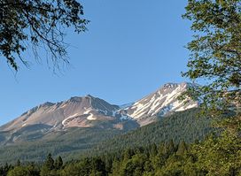
Explore Shastice Park in Mt. Shasta: a beautiful park with playgrounds, a skatepark, and breathtaking views of Mt. Shasta, perfect for all ages.
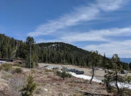
Discover the thrill of winter sports and stunning views at Mt. Shasta Ski Park, your ultimate destination for skiing and snowboarding in California.