McCloud Falls - Upper Fall, Shasta Cascade Travel Guide
Discover the rugged beauty of Upper McCloud Falls in the Shasta-Trinity National Forest, where volcanic landscapes meet cascading waters for an unforgettable Northern California experience.
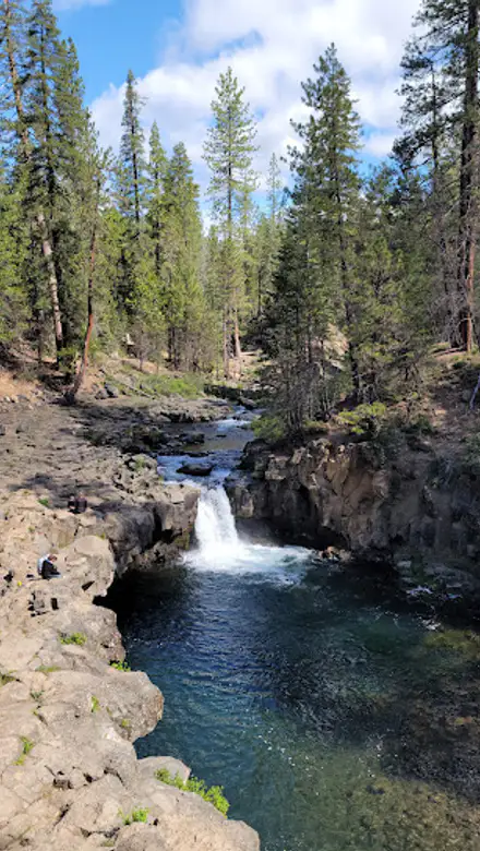
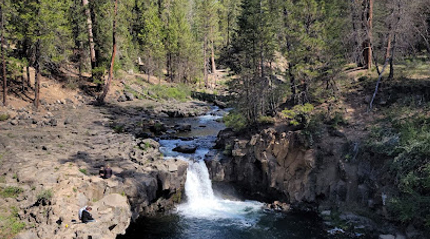
Upper McCloud Falls, the northernmost of the three McCloud River waterfalls, offers a captivating glimpse into the region's volcanic past. The McCloud River squeezes through a narrow basalt gorge, cascading over a series of small steps before plunging into a large pool. While the viewing platforms offer only a side view of the falls, the powerful rush of water and the surrounding columnar basalt cliffs create a memorable experience. The falls are easily accessible and provide a perfect spot for a picnic or a short walk along the river. Whether you're a seasoned hiker or a casual visitor, Upper McCloud Falls is a must-see destination in the Shasta-Trinity National Forest, showcasing the raw beauty and geological wonders of Northern California.
A brief summary to McCloud Falls - Upper Fall
- Upper Fall Rd, McCloud, California, 96057, US
- Click to display
- Click to display

Know before you go
Hi, I'm Eve. Here are a few practical things to know before exploring McCloud Falls - Upper Fall.
- Visit during the week or early in the morning to avoid crowds, especially during peak season (summer).
- Bring a picnic to enjoy by the river, as there are picnic tables available near the parking area.
- Wear sturdy shoes for walking on the paved trails and exploring the rocky areas around the falls.
- Consider visiting during the fall for stunning foliage colors surrounding the falls.
- Combine your visit with a hike to Middle and Lower McCloud Falls for a complete McCloud River waterfall experience.
Do you manage this location?
Take control to get all the benefits, like improved information, better appearance, and stronger visibility across AI-powered discovery. Learn more about listing your business on Evendo
Activate your presenceOther nearby places you may find interesting
The closest places of the same kind, if this one is not quite what you had in mind.
Explore McCloud Falls - Upper Fall on the Map
A handpicked selection of must-see spots near McCloud Falls - Upper Fall, mapped for you.
Getting There
-
Driving
From the town of McCloud, drive east on Highway 89 for approximately 5.5 miles. Look for the signed turnoff on the left for Fowlers Camp and McCloud Falls. Turn right onto the McCloud River Loop Road (Forest Road 40N44). Continue for about 0.7 miles, staying right at the first intersection. Follow the signs for Upper Falls, turning right onto Forest Road 40N44B for the last 0.4 miles to the Upper Falls parking area. Parking is free. From the parking lot, it's a short, paved walk (approximately 300 feet) to the viewing platforms overlooking Upper McCloud Falls.
Discover more about McCloud Falls - Upper Fall
More to explore near McCloud Falls - Upper Fall













Your all‑in‑one travel companion app
Explore expert travel guides, compare and book tours, experiences, hotels, and more—all from the palm of your hand. Download now for seamless trip planning wherever your wanderlust takes you.


Explore More of Shasta Cascade
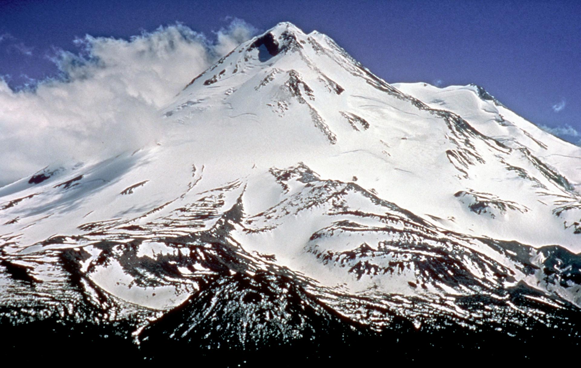
Looking beyond McCloud Falls - Upper Fall? Discover Shasta Cascade for broader travel guides, local hot-spots, and regional highlights.
Explore Shasta Cascade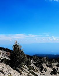
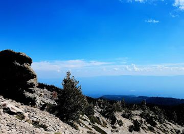
Discover the ancient energies of Ancestral Rock near Mount Shasta, a sacred site offering panoramic views and a connection to the region's rich geological and spiritual history.
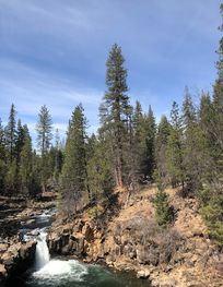
Discover the refreshing beauty of Lower Falls on the McCloud River, a scenic and accessible natural escape in Northern California's Shasta-Trinity National Forest.