
Gros Morne Mountain Hiking Trail: A Challenging Climb with Rewarding Views
Hike to the top of Gros Morne Mountain for panoramic views of Newfoundland's stunning glacial landscape and unique arctic-alpine environment.
The Gros Morne Mountain Trail in Newfoundland's Gros Morne National Park is a challenging 17 km hike that rewards experienced hikers with breathtaking panoramic views. The trail ascends 806 meters, offering a unique blend of natural beauty, diverse terrain, and unforgettable vistas of the Long Range Mountains and Ten Mile Pond gorge.
A brief summary to Gros Morne Mountain Hiking Trail
- NL-430, Norris Point, Newfoundland and Labrador, CA
- Visit website
Local tips
- Check the Parks Canada website for trail conditions and closures before heading out.
- Wear layers and be prepared for changing weather conditions, including wind and sun exposure.
- Bring plenty of water and snacks, as the hike is strenuous and can take 6-9 hours.
- Wear sturdy hiking boots and consider bringing trekking poles for added stability on the rocky terrain.
- Be aware of wildlife, such as moose, caribou, and black bears, and observe them from a safe distance.
Getting There
-
Driving
The Gros Morne Mountain Trailhead is located off Route 430, approximately 7 km (4.3 miles) east of Rocky Harbour. From Rocky Harbour, drive east on Route 430 until you see the well-marked parking lot for the Gros Morne Mountain Trail on your left. Parking is free, but the lot can fill up quickly, especially during peak season. Consider arriving early to secure a spot. From the parking lot, the trailhead is easily accessible. Note that a national park pass is required to access the trail.
-
Taxi
Taxis are available in nearby towns such as Rocky Harbour. A taxi from Rocky Harbour to the Gros Morne Mountain Trailhead will cost approximately $20-$30 CAD. Pre-booking is recommended, especially during peak season. Pittman's Taxi is one of the taxi services in the area. The taxi will drop you off at the parking lot, where you can access the trailhead. Note that a national park pass is required to access the trail.
Discover more about Gros Morne Mountain Hiking Trail
Iconic landmarks you can’t miss
Discovery Centre
10.8 km
Discover Gros Morne National Park: Explore geology, culture, and breathtaking views at the Discovery Centre in Woody Point, Newfoundland.

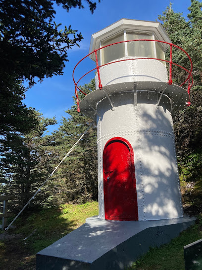
Cow Head Lighthouse
39.6 km
Explore Newfoundland's maritime heritage at the Cow Head Lighthouse, offering stunning coastal views and a glimpse into the past within Gros Morne National Park.
Unmissable attractions to see
Gros Morne
4.7 km
Explore the majestic Gros Morne in Newfoundland and Labrador, a UNESCO World Heritage Site renowned for its stunning landscapes and rich biodiversity.

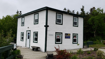
Jenniex House
4.8 km
Explore the historical treasures of Jenniex House in Norris Point, Newfoundland, where heritage comes to life in a beautifully preserved setting.
Rocky Harbour Pond Beach
5.3 km
Experience the natural beauty and tranquility of Rocky Harbour Pond Beach, a hidden gem in Norris Point, Newfoundland, perfect for relaxation and exploration.

Under the Stump ( www.underthestump.ca )
6.2 km
Discover the enchanting Under the Stump in Rocky Harbour, a gateway to Newfoundland's stunning natural beauty and Gros Morne National Park.

Bonne Bay Marine Station
6.3 km
Explore the rich marine life and ecological wonders of Newfoundland at Bonne Bay Marine Station, a captivating aquarium and research facility.
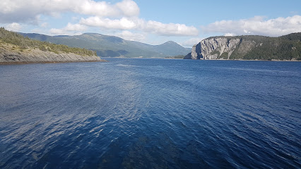
Gros Morne Adventures
6.4 km
Explore the breathtaking landscapes of Gros Morne National Park with Gros Morne Adventures, your premier tour operator for hiking and adventure sports in Newfoundland.

Gros Morne Wildlife Museum
6.9 km
Explore the rich biodiversity of Newfoundland and Labrador at the Gros Morne Wildlife Museum in Rocky Harbour, a captivating destination for nature lovers.

Rocky Harbour Cove
8.1 km
Explore the serene Rocky Harbour Cove, a breathtaking bay in Newfoundland and Labrador, surrounded by the stunning Gros Morne National Park.

Woody Point Lighthouse
8.9 km
Explore the historic Woody Point Lighthouse in Newfoundland, a beacon of maritime heritage surrounded by breathtaking coastal beauty.

Town of Woody Point
9.2 km
Experience the enchanting beauty and vibrant arts culture of Woody Point, Newfoundland - a serene getaway surrounded by breathtaking landscapes.

Lobster Cove Head Lighthouse
9.8 km
Experience the breathtaking views and rich maritime history at Lobster Cove Head Lighthouse in Newfoundland and Labrador.
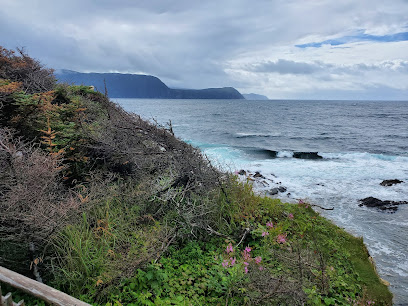
Baker's Brook Falls
10.1 km
Explore the breathtaking beauty of Baker's Brook Falls, a natural gem in Newfoundland and Labrador, perfect for nature lovers and adventure seekers.

Lookout Hills Trail
10.7 km
Discover breathtaking views and diverse wildlife along the scenic Lookout Hills Trail in Gros Morne National Park, a must-visit for nature lovers.

Gros Morne National Park Of Canada
11.1 km
Explore Gros Morne National Park, a UNESCO World Heritage Site in Newfoundland and Labrador, where stunning landscapes and rich history await every visitor.

Wild Gros Morne National Park
12.1 km
Experience the breathtaking landscapes and rich biodiversity of Wild Gros Morne National Park, a UNESCO World Heritage site in Newfoundland and Labrador.

Essential places to dine
Sugar Hill Inn & Chanterelles Restaurant
4.7 km
Experience the charm of Sugar Hill Inn & Chanterelles Restaurant, where comfort meets gourmet dining amidst Newfoundland's stunning landscapes.

Neddies Harbour Inn
5.0 km
Discover tranquility at Neddies Harbour Inn, your cozy retreat surrounded by Newfoundland's breathtaking landscapes.

The Black Spruce Restaurant
5.0 km
Experience exquisite local cuisine and breathtaking views at The Black Spruce Restaurant in Norris Point, Newfoundland.

Fisherman's Landing Inn
5.8 km
Discover comfort and adventure at Fisherman's Landing Inn in Rocky Harbour - your perfect base for exploring Gros Morne National Park.

The Cat Stop
6.2 km
Experience the heart of Newfoundland at The Cat Stop – where delicious food meets lively entertainment in Norris Point.

Buoy & Arrow Restaurant and Suites
6.5 km
Experience authentic Newfoundland cuisine at Buoy & Arrow Restaurant and Suites in scenic Rocky Harbour - where great food meets stunning views.
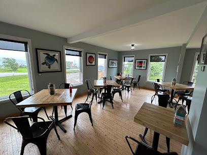
Ocean View Hotel
6.6 km
Experience stunning views and local seafood at Ocean View Hotel in Gros Morne National Park - your gateway to nature's wonders.
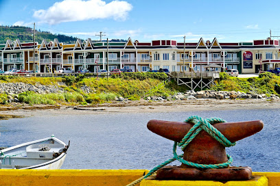
Anchor Pub
6.6 km
Discover Anchor Pub in Rocky Harbour - where delicious local flavors meet breathtaking coastal views in Morne National Park.

Oceans Room Resturant
6.6 km
Experience Newfoundland's finest flavors at Oceans Room Restaurant while enjoying breathtaking views in Gros Morne National Park.

Sunset Cafe
6.7 km
Discover delicious local cuisine at Sunset Cafe in Rocky Harbour - where every meal feels like home.

Fisherman's Landing Restaurant
6.7 km
Experience exquisite seafood dining at Fisherman's Landing Restaurant in Rocky Harbour – where local flavors meet stunning waterfront views.
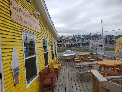
Java Jack's Restaurant & Gallery
6.9 km
Discover culinary delights and local artistry at Java Jack's Restaurant & Gallery in beautiful Rocky Harbour.
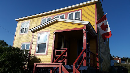
Augustus Jane Inn
6.9 km
Discover comfort and hospitality at Augustus Jane Inn, your gateway to exploring Gros Morne National Park's natural wonders.

Jackie's Takeout
7.5 km
Experience delightful takeout meals at Jackie's Takeout in Rocky Harbour - where fresh flavors meet local hospitality.

Earle's restaurant
7.7 km
Discover family-friendly dining at Earle's Restaurant in Rocky Harbour—where local flavors meet warm hospitality.

Markets, malls and hidden boutiques
The Old Store Cafe
5.7 km
Discover the cozy charm of The Old Store Cafe in Norris Point, where delightful meals meet the breathtaking landscapes of Gros Morne National Park.

The Old Store Gift & Ice Cream Shop
5.8 km
Experience the charm of Newfoundland at The Old Store Gift & Ice Cream Shop, where unique gifts and delicious ice cream await.

Out East Adventure Centre
5.9 km
Discover the perfect blend of adventure and relaxation at Out East Adventure Centre, your gateway to the natural wonders of Newfoundland.

C&J Rumbolt Ltd
6.0 km
Explore the flavors of Newfoundland at C&J Rumbolt Ltd, your friendly supermarket in Norris Point, offering local goods and essentials for every traveler.

Sunset Cafe Crafts & Gift Shop
6.7 km
Explore the charm of Sunset Cafe Crafts & Gift Shop in Rocky Harbour – a delightful destination for unique gifts and local flavors.

Liquor Express
6.7 km
Discover the finest local spirits and craft beers at Liquor Express in Rocky Harbour, Newfoundland, perfect for every occasion.

Endicott's Crafts
6.8 km
Explore a world of unique handmade treasures at Endicott's Crafts in beautiful Rocky Harbour, Newfoundland and Labrador.

Heritage crafts and bake good
6.8 km
Discover unique local crafts and delicious baked goods at Heritage Crafts and Bake Goods in beautiful Rocky Harbour.

Treasure Box
6.8 km
Discover the flavors and crafts of Newfoundland at Treasure Box, Rocky Harbour's charming restaurant and unique craft store.

Aunt Sarah's Chocolate Shop - Rocky Harbour
6.9 km
Discover the sweet charm of Aunt Sarah's Chocolate Shop in Rocky Harbour, where handcrafted chocolates and local flavors create a delightful experience.
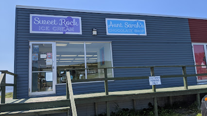
The Glass Station
7.5 km
Discover the enchanting world of glass art and handmade sweets at The Glass Station in Rocky Harbour, a true gem of Newfoundland and Labrador.
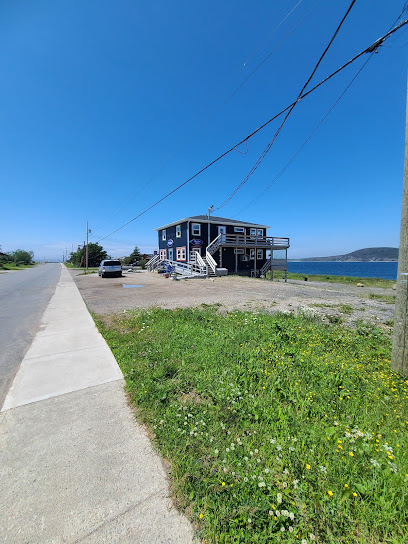
Gros Morne Crafts & Oceanside Cottage
7.6 km
Discover unique handcrafted treasures and cozy accommodations at Gros Morne Crafts & Oceanside Cottage in beautiful Rocky Harbour, Newfoundland.

Coyley's General Store
7.8 km
Discover the heart of Rocky Harbour at Coyley's General Store, your one-stop shop for local goods, snacks, and souvenirs in Newfoundland.

The shed
9.4 km
Discover The Shed in Woody Point, a cozy coffee shop offering exquisite brews and a welcoming atmosphere amidst beautiful Newfoundland landscapes.

Roy Young Convenience Store
14.3 km
Experience the warmth and charm of Roy Young Convenience Store, a delightful stop for baked goods and local essentials in Birchy Head.

Essential bars & hidden hideouts
Rudy's Gas Bar and Pub
5.1 km
Experience the warmth of Newfoundland hospitality at Rudy's Gas Bar and Pub, where local flavors and friendly faces come together.

Western Newfoundland brewing co.
6.9 km
Discover the essence of Newfoundland craft beer at the Western Newfoundland Brewing Co. in Rocky Harbour, where community and flavor meet.

Back Room Cafe
9.4 km
Experience the heart of Newfoundland dining at Back Room Cafe, where local flavors and cozy ambiance come together in Birchy Head.

Bonne Bay Inn
9.9 km
Experience the perfect blend of fine dining, cozy accommodations, and breathtaking views at Bonne Bay Inn in Newfoundland and Labrador.

Jackladder
34.5 km
Discover the heart of Newfoundland at Jackladder, your essential stop for refueling and relaxation in Bonne Bay Pond.

Langer's Sport and Dance Bar
52.8 km
Discover the lively nightlife at Langer's Sport and Dance Bar, where every night is a celebration of fun, music, and great company in Deer Lake.


