Zapata Falls, Sangre De Cristo Mountains Travel Guide
Discover a hidden waterfall near the Great Sand Dunes! Hike through a rocky crevice to witness the beauty of Zapata Falls.
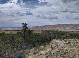
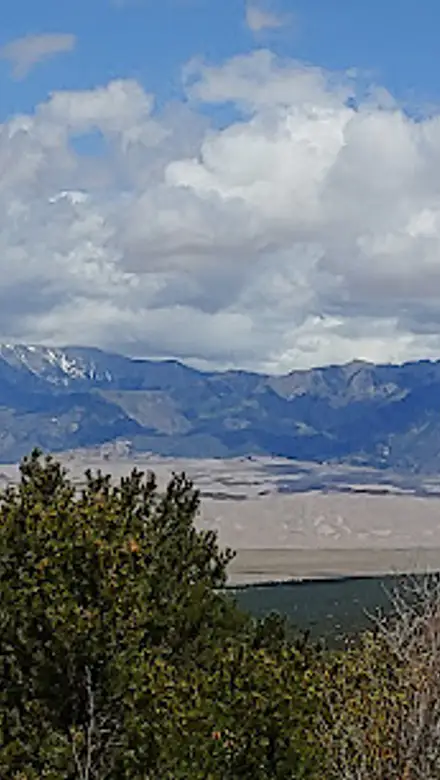
Discover Zapata Falls, a unique 25-foot waterfall tucked away in a rocky cave near the Great Sand Dunes National Park in Colorado. A short hike and a wade through a chilly stream lead to this refreshing natural wonder, offering stunning views and a cool escape from the desert heat.
A brief summary to Zapata Falls
- Zapata Falls Trail, Mosca, Colorado, 81146, US
- Click to display
- Click to display

Know before you go
Hi, I'm Eve. Here are a few practical things to know before exploring Zapata Falls.
- Wear shoes that can get wet, as you'll need to walk through the creek to reach the falls.
- Visit in the spring for the most impressive water flow or in the winter to see the frozen waterfall.
- Be prepared for limited parking, especially on weekends and afternoons.
- Bring extra socks and shoes, as your feet will get wet and cold.
- Combine your visit with a trip to the nearby Great Sand Dunes National Park.
Do you manage this location?
Take control to get all the benefits, like improved information, better appearance, and stronger visibility across AI-powered discovery. Learn more about listing your business on Evendo
Activate your presenceOther nearby places you may find interesting
The closest places of the same kind, if this one is not quite what you had in mind.


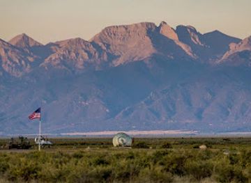

Explore Zapata Falls on the Map
A handpicked selection of must-see spots near Zapata Falls, mapped for you.
Unlock the Best of Zapata Falls
Buy tickets
-
No tickets available
Book tours with entry

Book tours without entry
-
No tours available
Getting There
-
Driving
From Alamosa, drive east on US Highway 160 for 15 miles until you see signs for Great Sand Dunes National Park. Turn left onto Colorado State Highway 150 and drive north for 10.5 miles. Look for the sign for Zapata Falls on your right. Turn right onto the unpaved Zapata Falls Road (also known as Lake of the Falls Road) and drive 3 miles to the parking lot. The road is a rough gravel surface with bumps, so drive slowly. Parking is free, but limited, especially on weekends. Overflow parking is available along the road.
-
Walking
From the parking lot, follow the well-marked trail north towards Zapata Falls. The trail is approximately 0.5 miles long and gains about 200 feet in elevation. The trail is mostly gravel and dirt, but becomes rocky as you approach the creek. Just before the creek, the trail splits from the trail to South Zapata Lake; stay left to reach Zapata Falls. To view the falls, you must wade through South Zapata Creek. The water is cold and the rocks can be slippery, so wear appropriate footwear. There are no fees or permits required to hike to Zapata Falls.
Discover more about Zapata Falls













Your all‑in‑one travel companion app
Explore expert travel guides, compare and book tours, experiences, hotels, and more—all from the palm of your hand. Download now for seamless trip planning wherever your wanderlust takes you.


Explore More of Sangre De Cristo Mountains
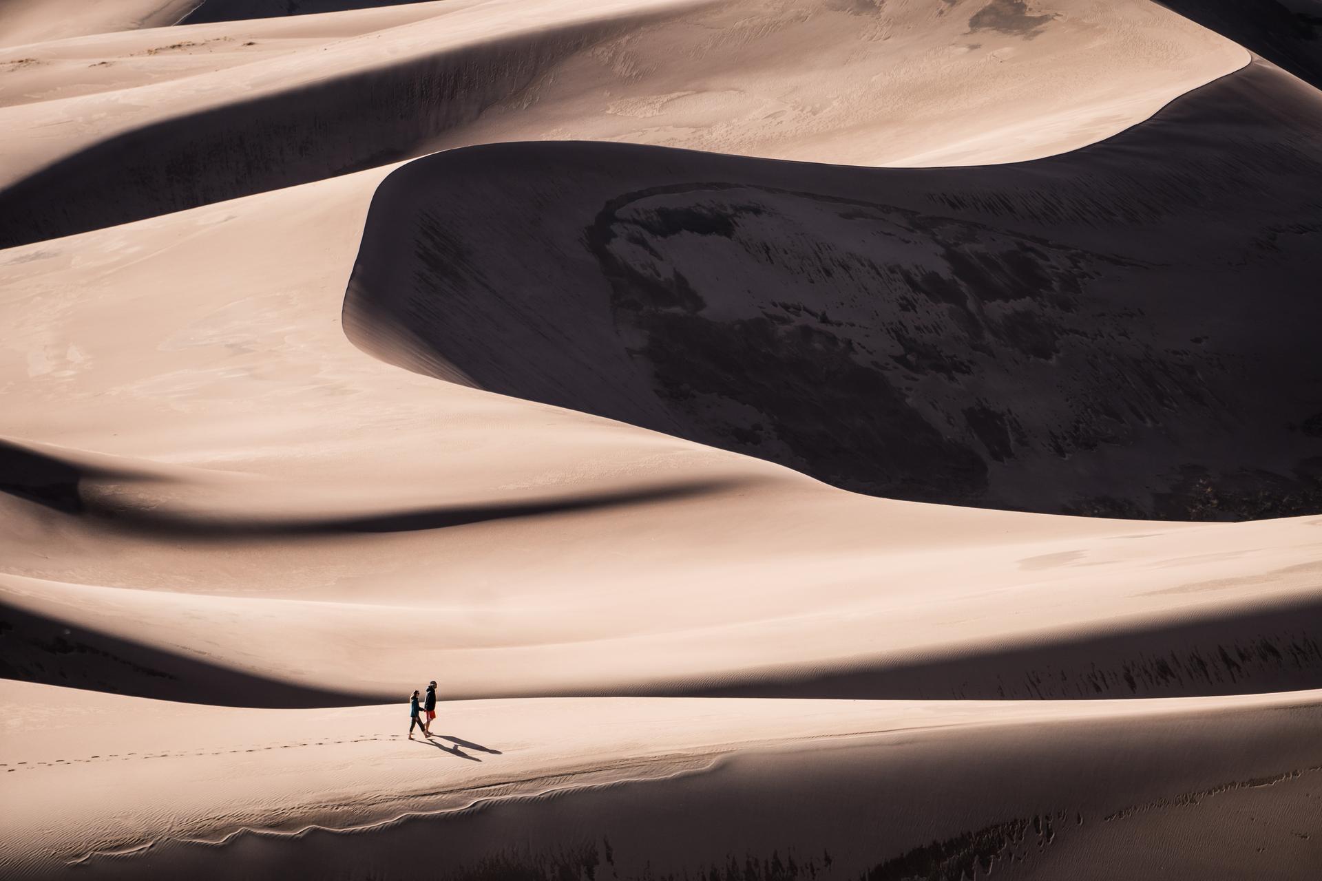
Looking beyond Zapata Falls? Discover Sangre De Cristo Mountains for broader travel guides, local hot-spots, and regional highlights.
Explore Sangre De Cristo Mountains