From Eve
Know before you go
Hi, I'm Eve. Here are a few practical things to know before exploring S Platte River Trail.
Local know-how to help you travel smarter and make the most of every moment.
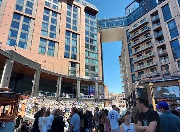
Explore Denver's scenic S Platte River Trail: a paved path connecting parks, attractions, and neighborhoods for outdoor adventures.
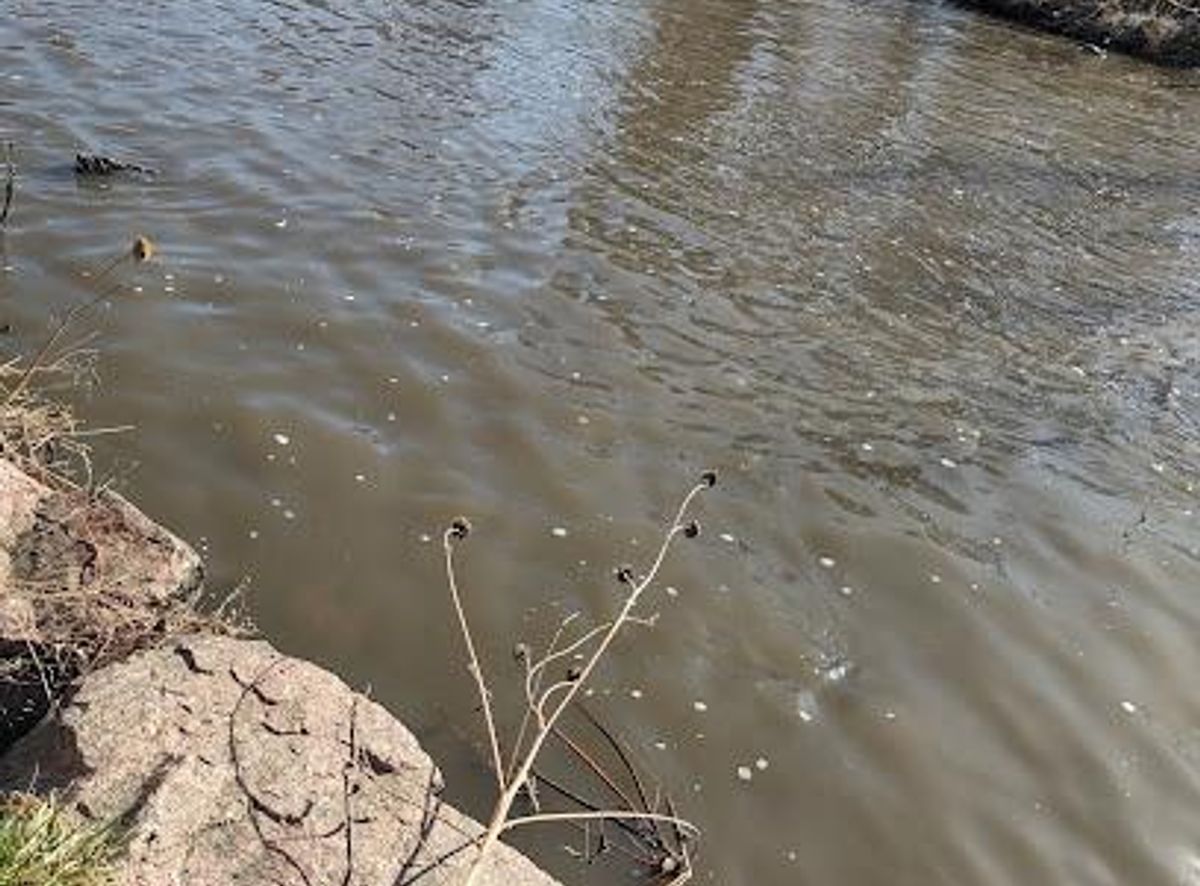
The S Platte River Trail is a multi-use paved path that follows the South Platte River through the Denver metropolitan area, offering a blend of recreational opportunities and scenic urban views. Popular for cyclists, runners, and walkers, it connects numerous parks, attractions, and neighborhoods, making it a vital artery for outdoor enthusiasts and commuters alike.
Opening times, essentials, and a few local tips gathered into one calmer, easier-to-scan planning section.
Hi, I'm Eve. Here are a few practical things to know before exploring S Platte River Trail.
Local know-how to help you travel smarter and make the most of every moment.
Public Transport
Several bus and light rail lines provide access to the S Platte River Trail. Check the Regional Transportation District (RTD) website or app for the most up-to-date schedules and routes. Bus lines 15, 19, 28, 44, and SOUTH have stops near the trail. The A, G, B, N, and California Zephyr train lines also provide access. Light rail lines E and W have stations within walking distance. A single ride on public transport costs $3.00.
Walking
The S Platte River Trail is easily accessible by foot from many points in central Denver. From Union Station, walk south along the riverfront for approximately 10 minutes to reach the trail. From the 15th St & Little Raven St bus stop, the trail is a 5-minute walk. Be mindful of pedestrian crossings and follow all traffic signals.
Parking
There are numerous parking options along the S Platte River Trail. Parking is available at 405 W Bridge St (Brighton) and the C470 Bikeway (Littleton). Parking is also available at 6821 E 104th Ave (Denver), 8554 Colorado Blvd (Thornton), and Frog Hollow Park, 2350 W 8th Ave (Denver). Parking costs vary depending on the location, with metered street parking typically costing $1-2 per hour.
Use Tower Bridge as your starting point for nearby food, family ideas, nightlife, and more local discoveries.

Explore expert travel guides, compare and book tours, experiences, hotels, and more—all from the palm of your hand. Download now for seamless trip planning wherever your wanderlust takes you.
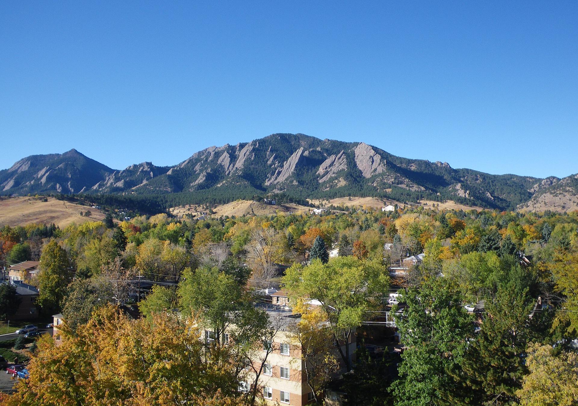
Explore Boulder, Colorado: A captivating blend of natural beauty, outdoor adventures, and cultural richness nestled at the foothills of the Rocky Mountains.
Tell me more about Boulder