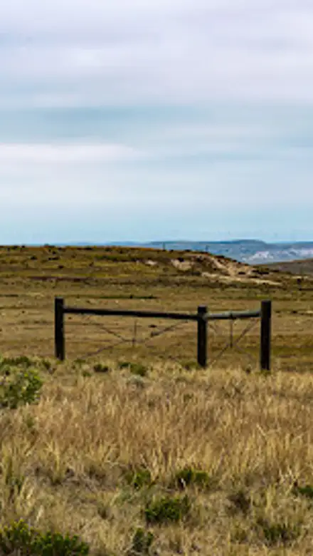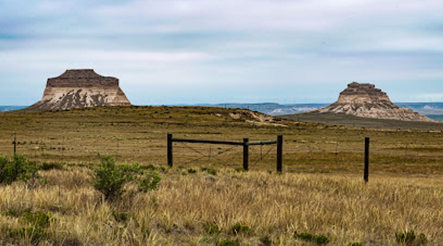
Pawnee Buttes Trailhead, High Plains Travel Guide
Explore the majestic Pawnee Buttes Trailhead in Colorado, where breathtaking landscapes and diverse wildlife await every adventurer.
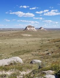
Nestled in the stunning Colorado landscape, the Pawnee Buttes Trailhead offers hikers an opportunity to explore breathtaking natural formations and diverse wildlife. Experience the grandeur of the buttes as you trek through scenic trails that promise a memorable adventure in the great outdoors.
A brief summary to Pawnee Buttes Trailhead
- Grover, Colorado, 80729, US
- Click to display

Know before you go
Hi, I'm Eve. Here are a few practical things to know before exploring Pawnee Buttes Trailhead.
- Arrive early to avoid crowds and enjoy the tranquility of the morning.
- Bring a camera to capture the stunning views and unique rock formations.
- Pack ample water and snacks, as facilities are limited at the trailhead.
- Check local weather conditions before your visit to ensure a safe hiking experience.
- Wear sturdy hiking boots to navigate the varied terrain comfortably.
Do you manage this location?
Take control to get all the benefits, like improved information, better appearance, and stronger visibility across AI-powered discovery. Learn more about listing your business on Evendo
Activate your presenceOther nearby places you may find interesting
The closest places of the same kind, if this one is not quite what you had in mind.
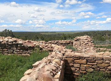
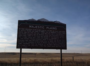
Explore Pawnee Buttes Trailhead on the Map
A handpicked selection of must-see spots near Pawnee Buttes Trailhead, mapped for you.
Getting There
-
Car
If you are driving from any location in High Plains, head towards US-85 N. Follow the signs for US-85 N, which will take you out of the main towns. After about 20 miles, take the exit for CO-14 E towards Sterling. Continue on CO-14 E for approximately 10 miles until you reach the junction with CR-103. Turn left onto CR-103 and follow it for about 6 miles. You will see the signs for Pawnee Buttes Trailhead. The trailhead is located at Grover, CO 80729. Make sure you have a map or GPS device to assist you, as some areas may have limited cell service.
-
Public Transportation
Currently, there are limited public transportation options directly to the Pawnee Buttes Trailhead. If you are relying on public transport, your best option is to take a Greyhound or a regional bus to Sterling, CO. From Sterling, you will need to arrange for a taxi or rideshare service to cover the remaining distance of about 30 miles to the trailhead. Be aware that taxi services might need to be booked in advance, and costs may vary.
-
Bicycle
For the more adventurous, biking to Pawnee Buttes Trailhead is an option. From High Plains, take the same route as if you were driving, sticking to the paved roads. Ensure your bike is in good condition and carry plenty of water and snacks. The total distance is around 36 miles one way, so be prepared for a long ride. There are minimal services along the way, so plan accordingly.
Discover more about Pawnee Buttes Trailhead
More to explore near Pawnee Buttes Trailhead













Your all‑in‑one travel companion app
Explore expert travel guides, compare and book tours, experiences, hotels, and more—all from the palm of your hand. Download now for seamless trip planning wherever your wanderlust takes you.


Explore More of High Plains
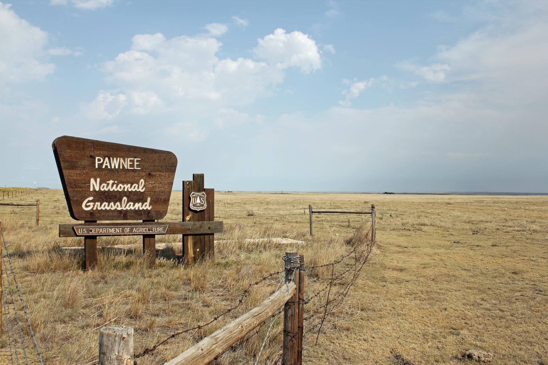
Looking beyond Pawnee Buttes Trailhead? Discover High Plains for broader travel guides, local hot-spots, and regional highlights.
Explore High Plains
Experience the heart of Sterling, Colorado, at Parts and Labor Brewing Company, where craft beer meets delicious cuisine in a vibrant community atmosphere.
Discover the serene landscapes and abundant wildlife at Pawnee National Grassland, a prime destination for nature lovers and outdoor enthusiasts in Colorado.