Crags Trail Head, Pikes Peak Travel Guide
Hike to stunning rock formations on a scenic trail near Pikes Peak, offering year-round outdoor adventures and breathtaking views.
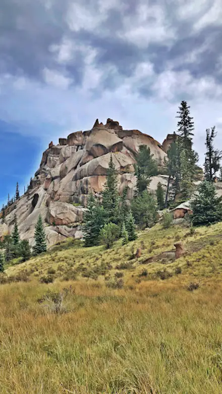
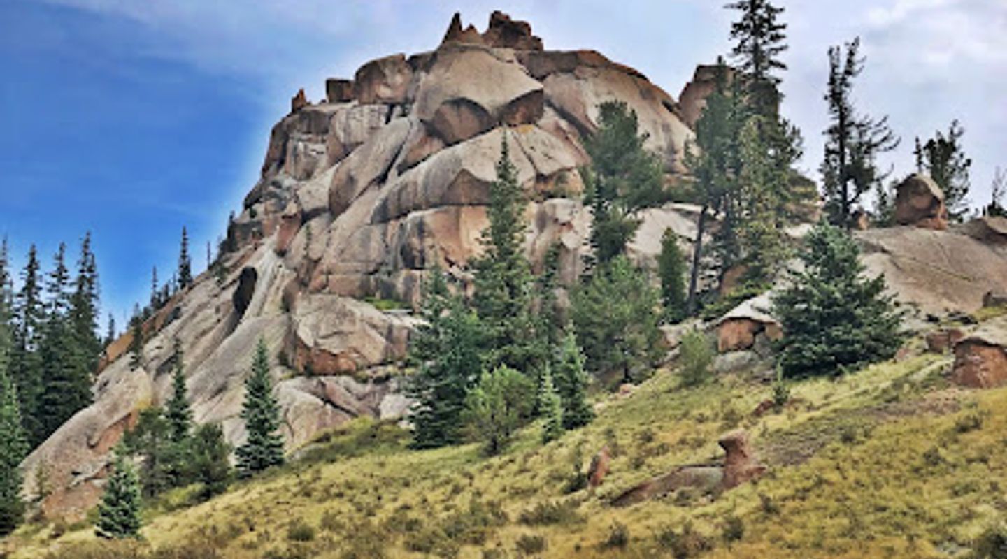
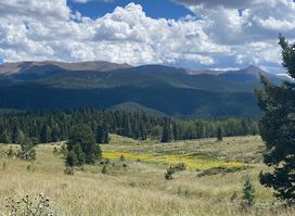
The Crags Trail Head provides access to a scenic and moderately challenging 4.8-mile hike leading to unique rock formations known as The Crags. Located near Divide, Colorado, this popular trail offers stunning views and a taste of the Pikes Peak region's natural beauty.
A brief summary to Crags Trail Head
- 615 Teller Co Rd 62, Divide, Colorado, 80814, US
- Click to display
- Click to display

Know before you go
Hi, I'm Eve. Here are a few practical things to know before exploring Crags Trail Head.
- Arrive early, especially on weekends, as the parking lot can fill up quickly.
- Bring plenty of water, as there are no water sources along the trail.
- Be prepared for changing weather conditions, as the weather in the mountains can be unpredictable.
- Wear sturdy hiking shoes, as the trail can be rocky and uneven in places.
- Check the status of Forest System Road 383, as it is closed from December 1 to June 1 annually.
Do you manage this location?
Take control to get all the benefits, like improved information, better appearance, and stronger visibility across AI-powered discovery. Learn more about listing your business on Evendo
Activate your presenceOther nearby places you may find interesting
The closest places of the same kind, if this one is not quite what you had in mind.
Explore Crags Trail Head on the Map
A handpicked selection of must-see spots near Crags Trail Head, mapped for you.
Getting There
-
Driving
From Divide, Colorado, take Highway 67 south for approximately 4 miles. Turn left onto Teller County Road 62, which becomes Forest Service Road 383. Follow Forest Service Road 383 for about 3 miles to the trailhead. Parking is available at the trailhead. Note that Forest Service Road 383 is typically closed from December 1st to June 1st. During this time, you may need to park at the winter trailhead, adding 1-1.5 miles to your hike. Parking at the Crags Campground is available for $11 per vehicle.
-
Walking
From the Crags Campground, walk approximately 1/8 mile down Forest Service Road 383 to the Crags Trail Head. The trail begins across the road from the parking lot. Be cautious of vehicle traffic along the road.
Discover more about Crags Trail Head













Your all‑in‑one travel companion app
Explore expert travel guides, compare and book tours, experiences, hotels, and more—all from the palm of your hand. Download now for seamless trip planning wherever your wanderlust takes you.


Explore More of Pikes Peak
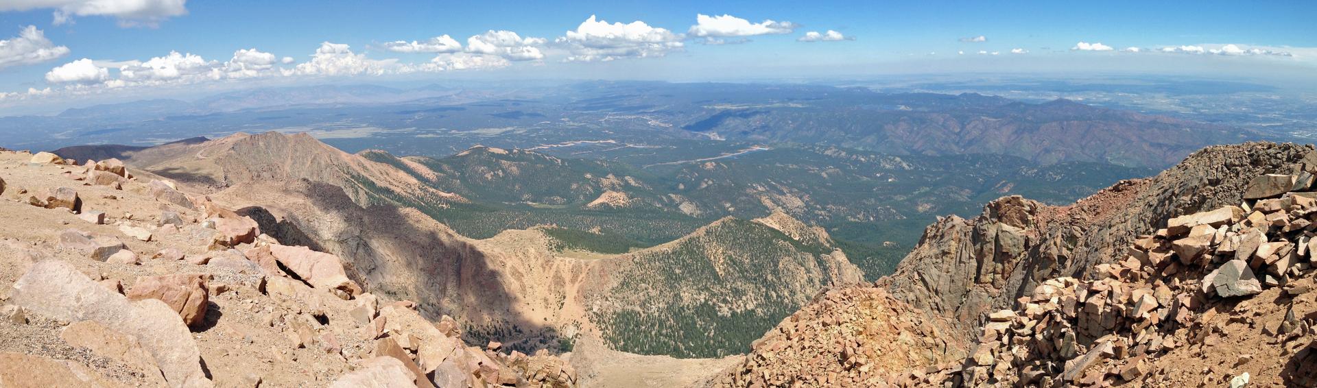
Looking beyond Crags Trail Head? Discover Pikes Peak for broader travel guides, local hot-spots, and regional highlights.
Explore Pikes Peak
Experience the magic of Christmas year-round at North Pole Colorado Santa’s Workshop, a vintage amusement park nestled at the foot of Pikes Peak.
Discover Colorado's natural beauty with hiking, camping, and wildlife at this expansive park near Pikes Peak. Open year-round!