From Eve
Know before you go
Hi, I'm Eve. Here are a few practical things to know before exploring Atalanti Nature Trail (Loop).
Local know-how to help you travel smarter and make the most of every moment.

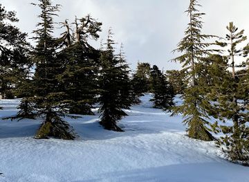
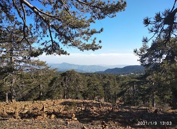
Hike through Cyprus's Troodos Mountains on the Atalanti Nature Trail, a 14km loop with stunning views and unique geological features.
The Atalanti Nature Trail is a scenic 14km loop trail located in the Troodos Mountains of Cyprus, offering hikers stunning views, diverse flora, and a glimpse into the island's mining history. Named after a mythological huntress, the trail encircles Mount Olympus, the island's highest peak, at an altitude of 1700-1750m.
Opening times, essentials, and a few local tips gathered into one calmer, easier-to-scan planning section.
Hi, I'm Eve. Here are a few practical things to know before exploring Atalanti Nature Trail (Loop).
Local know-how to help you travel smarter and make the most of every moment.
Driving
From the center of Troodos village, take the E910 road towards Platres. The Atalanti Nature Trail is located along this road, approximately 5 kilometers from Troodos Square. Look for a small parking area on your right, marked by a trailhead sign. Parking is free.
Walking
If you are in Troodos Square, follow the E910 road eastwards. The trailhead is approximately a 30-minute walk (2km) from the square, on your left. Be mindful of traffic while walking along the road.
Public Transport
It is possible to take a bus from major cities like Limassol or Nicosia to Troodos. From Troodos Square, you will need to take a taxi to reach the Atalanti Nature Trail, as there is no direct public transport to the trailhead. A taxi from Troodos Square to the Atalanti Nature Trail will cost approximately €10-€15.
Use Tower Bridge as your starting point for nearby food, family ideas, nightlife, and more local discoveries.

Explore expert travel guides, compare and book tours, experiences, hotels, and more—all from the palm of your hand. Download now for seamless trip planning wherever your wanderlust takes you.
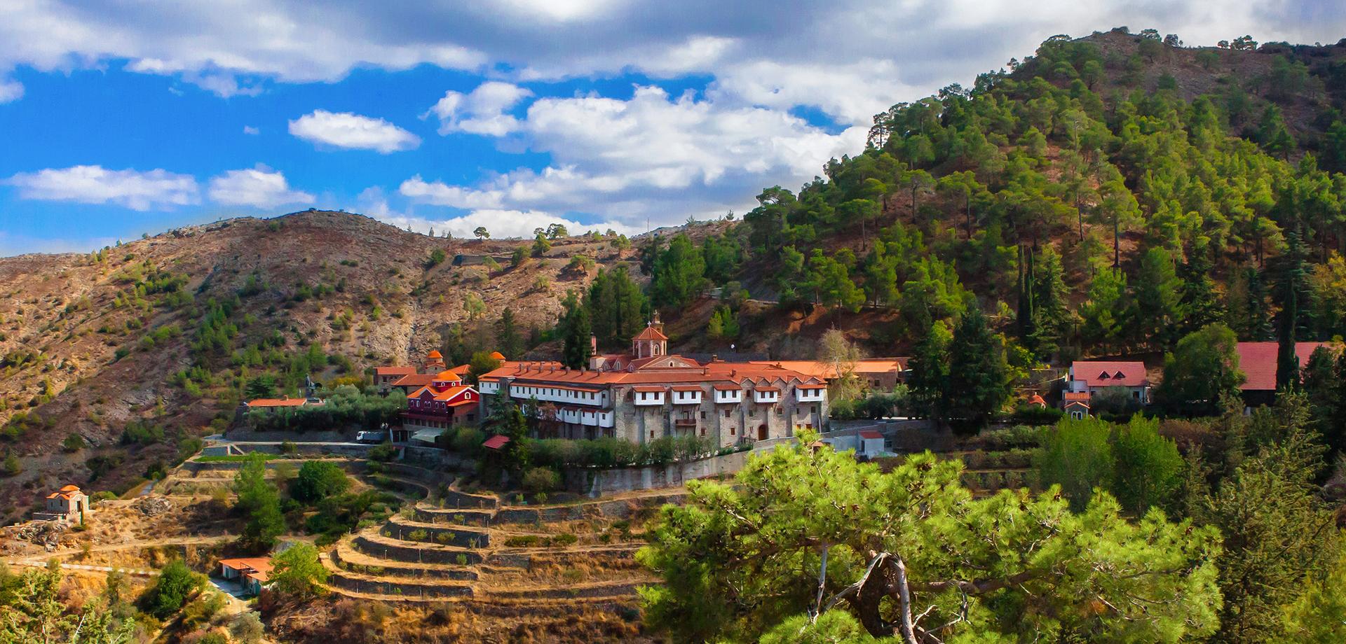
Discover the serene beauty and rich heritage of the Machairas Mountains in Cyprus, a perfect blend of nature, history, and spirituality.
Tell me more about Machairas Mountains