From Eve
Know before you go
Hi, I'm Eve. Here are a few practical things to know before exploring Kakokefalos trail.
Local know-how to help you travel smarter and make the most of every moment.

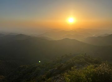
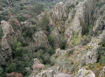
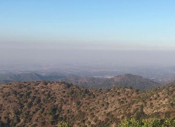
Hike the challenging Kakokefalos Trail in Cyprus's Machairas Mountains for panoramic views and a rewarding connection with nature.
The Kakokefalos Trail, nestled in the Machairas National Forest Park, Cyprus, offers a challenging yet rewarding 5.5km hike. Known for its diverse terrain, panoramic views, and historical remnants, this linear trail is a must-visit for experienced hikers seeking an immersive natural experience.
Opening times, essentials, and a few local tips gathered into one calmer, easier-to-scan planning section.
Hi, I'm Eve. Here are a few practical things to know before exploring Kakokefalos trail.
Local know-how to help you travel smarter and make the most of every moment.
Driving
From Nicosia, take the B9 highway towards Larnaca. After approximately 30 kilometers, exit towards the Machairas Mountains. Follow signs for the Kakokefalos trail. The trailhead is located at Κλόνια - Προφ. Ηλίας, 2618, Cyprus. Free parking is usually available at the trailhead. Be aware that the road leading to the trailhead can be narrow and winding in places. There are no tolls.
Public Transport & Walking
From Nicosia, take a bus to Larnaca. In Larnaca, transfer to a local bus heading towards the Machairas Mountains. Ask the driver to drop you off at the nearest stop to the Kakokefalos trail, usually at Κλόνια - Προφ. Ηλίας. From the bus stop, it's a short walk to the trailhead. The bus fare from Nicosia to Kapedes or Vavatsinia is approximately €3-€5. A taxi from either village to Kakokefalos View Point will cost around €15-€20.
Use Tower Bridge as your starting point for nearby food, family ideas, nightlife, and more local discoveries.

Explore expert travel guides, compare and book tours, experiences, hotels, and more—all from the palm of your hand. Download now for seamless trip planning wherever your wanderlust takes you.
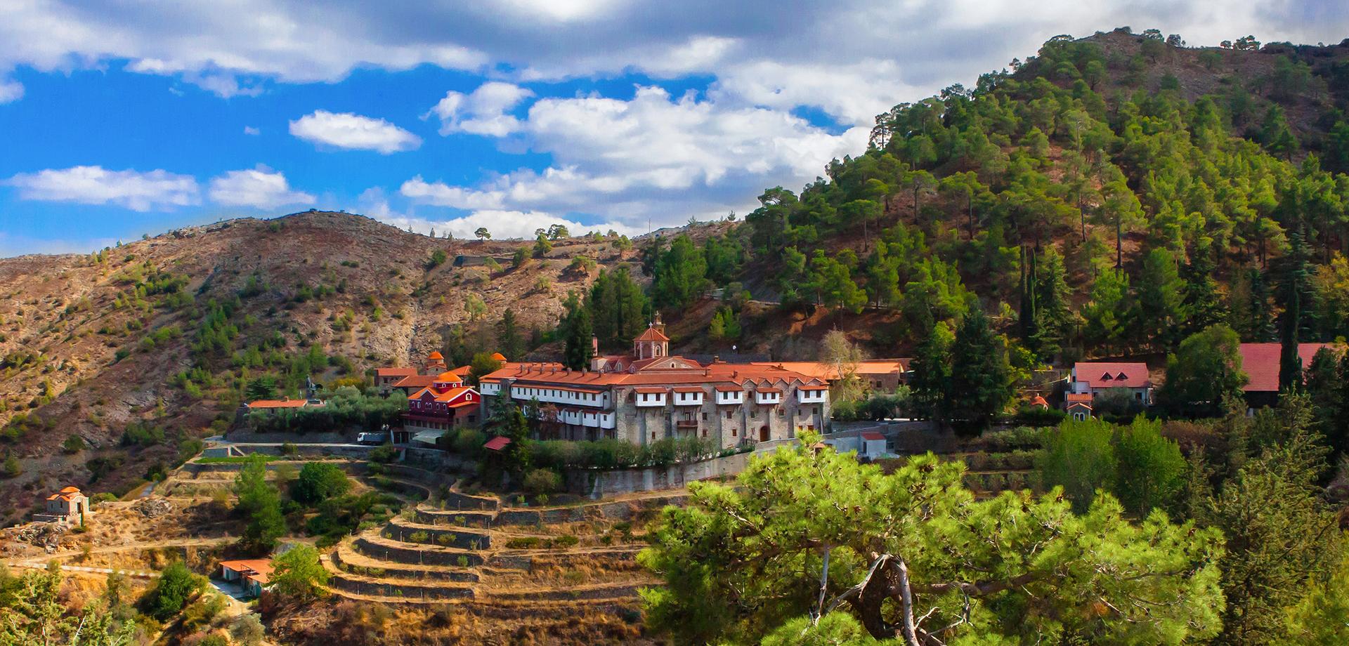
Discover the serene beauty and rich heritage of the Machairas Mountains in Cyprus, a perfect blend of nature, history, and spirituality.
Tell me more about Machairas Mountains