From Eve
Know before you go
Hi, I'm Eve. Here are a few practical things to know before exploring Kallehave bålhytte.
Local know-how to help you travel smarter and make the most of every moment.

A modest grill shelter tucked into the Kallehave woods near Gl. Rye, perfect for unhurried campfire cooking and a quiet break on forest hikes.
Tucked into the woodland just south of Gl. Rye near Ry, Kallehave Bålhytte is a simple grill shelter with benches and a central fire and grill spot. Used on weekdays by the local school, it opens to everyone on weekends and holidays, offering a rustic gathering place for families, hikers and small groups. With the surrounding Kallehave forest, nearby campfire site and hiking routes towards Aarhus, Silkeborg and the Gudenå valley, it’s an easy, atmospheric stop for outdoor cooking and a nature break.
Opening times, essentials, and a few local tips gathered into one calmer, easier-to-scan planning section.
Hi, I'm Eve. Here are a few practical things to know before exploring Kallehave bålhytte.
Local know-how to help you travel smarter and make the most of every moment.
Car from Ry town centre
From central Ry, driving to the Kallehave forest area near Skovstedvej typically takes around 5–10 minutes, depending on traffic. Parking is usually done at nearby public parking areas connected to the local dog forest or other signed forest access points, from where you continue on foot through the woods to the shelter. There is no dedicated parking directly at the bålhytte, and access roads can be narrow and unmarked, so allow extra time to find a suitable legal parking spot. Use of the shelter itself is free, but fuel, food and any parking charges in Ry are at your own expense.
Regional train plus walking
Ry is served by regional trains on the Aarhus–Silkeborg line, with journey times of about 30–40 minutes from Aarhus and 15–20 minutes from Silkeborg. A standard adult single ticket on this route is typically in the range of 40–80 DKK, depending on distance and time of purchase. From Ry Station you can walk towards the Kallehave forest area; expect around 30–45 minutes on foot on mixed pavements and forest paths. Surfaces become uneven as you approach the woods, and there is no lighting on the final forest section, so plan to arrive in daylight.
Bicycle from Gl. Rye and surroundings
Cycling from Gl. Rye village to the Kallehave area is a practical option, taking roughly 10–20 minutes depending on your starting point and route. You follow local roads and then continue on forest tracks, which can be muddy, rooty or slippery after rain. There are no formal bike racks at the shelter, so you will need to lock your bicycle to a tree or lay it off the path. The route is free to use but best suited to bikes with reasonable tyres rather than narrow road tyres.
Catch the right light and the right mood, whether you want a bright city moment or a more cinematic evening visit.


Use Tower Bridge as your starting point for nearby food, family ideas, nightlife, and more local discoveries.
A quick look at seasonal patterns and peak visiting hours.

Explore expert travel guides, compare and book tours, experiences, hotels, and more—all from the palm of your hand. Download now for seamless trip planning wherever your wanderlust takes you.
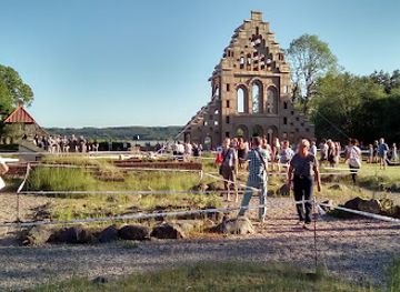
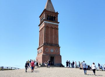
Experience the serene beauty and panoramic views of Møllehøj, Denmark's highest natural point, perfect for nature lovers and photographers alike.
Tell me more about Mollehoj