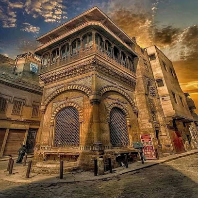
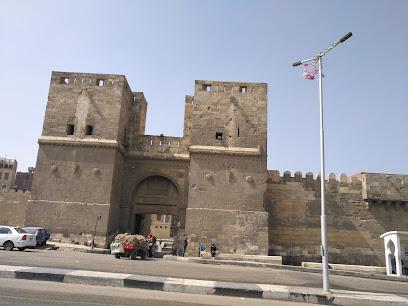
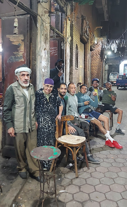
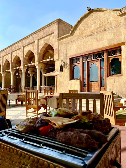
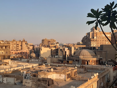
6th of October Bridge: Cairo's Artery
Experience Cairo from above on the 6th of October Bridge, a vital artery offering panoramic city views and a glimpse into Egyptian history.
The 6th of October Bridge is an elevated highway that serves as a vital transportation link in Cairo, Egypt. Spanning 20.5 kilometers and crossing the Nile River twice, it connects the western suburbs to downtown Cairo and onward to Cairo International Airport. Named to commemorate the start of the Yom Kippur War in 1973, it's a symbol of Cairo's modernization and a crucial artery for the city's daily life.
A brief summary to 6th of October Bridge
- EG
Local tips
- Visit during sunset for the best views of the Cairo skyline and the Nile River.
- Be prepared for heavy traffic, especially during peak hours.
- Consider walking a portion of the bridge to fully appreciate the views, but be mindful of traffic.
- Bring a camera to capture the stunning cityscape and bustling river activity.
- The bridge provides easy access to many attractions, including the Cairo Opera House and the Zamalek district.
Getting There
-
Public Transport
From Tahrir Square, take the Metro Line 2 from Sadat Station towards Shubra El Kheima. The fare is approximately 5 EGP. Alight at any station close to the bridge. From there, a short taxi or Uber ride (approximately 50 EGP) will get you to the bridge entrance.
-
Taxi/Ride-sharing
Taxis and ride-sharing services like Uber are readily available throughout Cairo. A short trip from downtown Cairo to the 6th of October Bridge will typically cost around 50-70 EGP, depending on traffic and distance. Be sure to confirm the fare or agree on a price before starting your journey.
-
Driving
If driving from the Giza Plateau, head east on Al Haram Street (Pyramids Road) towards Cairo. Continue straight, passing the Egyptian Museum. Turn right onto 26 July Corridor and follow the signs for the 6th of October Bridge. There are no tolls for using this route. Note that traffic can be very heavy, especially during peak hours.
Discover more about 6th of October Bridge
Iconic landmarks you can’t miss
6th of October Bridge
0.0 km
Experience Cairo from above on the 6th of October Bridge, a vital artery offering panoramic city views and a glimpse into Egyptian history.
Etz Hayim Synagogue
0.6 km
Discover Etz Hayim Synagogue in Cairo: A historical landmark showcasing the city's rich Jewish heritage and cultural significance.

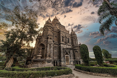
Habib Pasha El-Sakakini Palace
0.7 km
Discover Cairo's hidden gem: The Sakakini Palace, a stunning example of Rococo architecture with a rich history and intricate design.
Door bahr
1.4 km
Discover the charm of Door Bahr in Cairo's Al Azbakeya: a vibrant blend of history, culture, and local life awaits in this captivating tourist attraction.
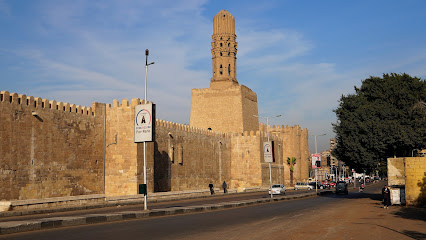
سور القاهرة الشمالي
1.7 km
Explore the historic Northern Cairo Wall, a testament to Fatimid military architecture and Islamic Cairo's rich heritage.
Sabil-Kuttab of Abdel Rahman Katkhuda
1.9 km
Explore the historic Sabil-Kuttab of Abdel Rahman Katkhuda, a unique Ottoman monument in the heart of Cairo's Al-Muizz Street.
house alqadi
2.0 km
Explore House Alqadi in Cairo's Al-Gamaleya district: a historic gem showcasing Islamic architecture and offering a serene cultural experience.
ش عماد الدين
2.0 km
Explore Emad El-Deen Street in Cairo, a historic landmark blending art, commerce, and unique architecture in the heart of the city's downtown.
Mosque Qalawun
2.0 km
Explore the majestic Mosque of Qalawun in Cairo, a stunning example of Mamluk architecture and a testament to Islamic history and artistry.
Madrasa and Mausoleum of al-Salih Najm al-Din Ayyub
2.0 km
Explore the historic Madrasa and Mausoleum of al-Salih Najm al-Din Ayyub in Cairo, a unique example of Ayyubid architecture and Islamic learning.
Mosque of Sultan Al-Ashraf Barsbay
2.2 km
Explore the Mosque of Sultan Al-Ashraf Barsbay, a stunning landmark of Mamluk architecture on Cairo's historic Al Moez Street.
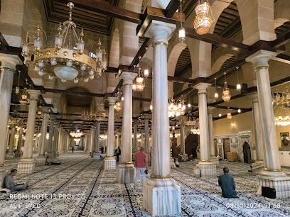
Al Emam El Hussein Mosque
2.2 km
Visit Al-Hussein Mosque in Cairo, a holy Islamic site with stunning architecture, rich history, and spiritual significance for Muslims worldwide.
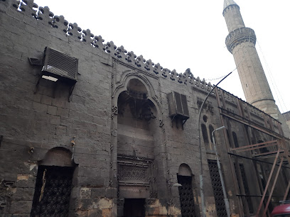
مسجد تاريخي
2.3 km
Explore the Historical Mosque, a stunning architectural marvel in Cairo that embodies the rich cultural heritage and spiritual essence of Egypt.
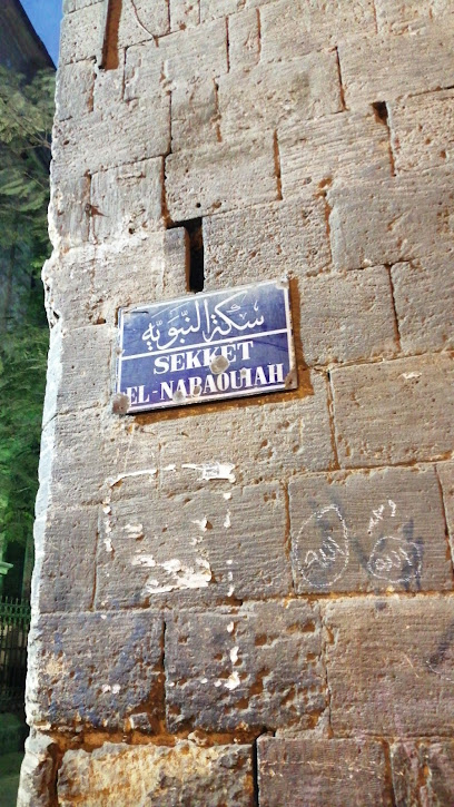
سكة النبوية
2.5 km
Explore Sekat Al Nabawia in Cairo's Al-Darb Al-Ahmar: A historic landmark offering a glimpse into Egypt's rich cultural heritage and Islamic architecture.
Wasila Historical House
2.6 km
Explore the beautifully restored Wasila Historical House in Cairo's El-Darb El-Ahmar, a window into Ottoman-era architecture and Cairene life.
Unmissable attractions to see
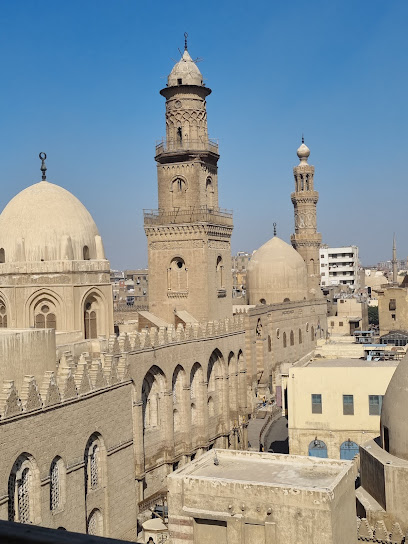
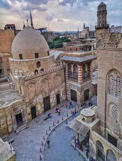
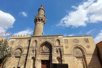
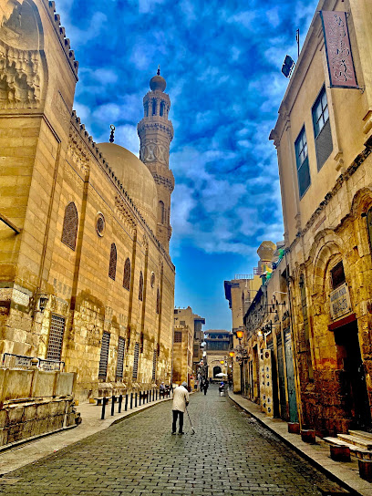
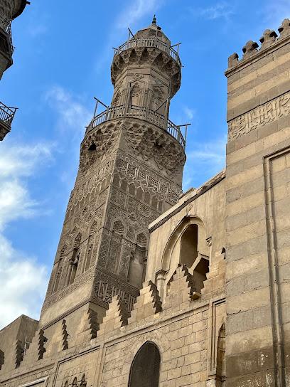
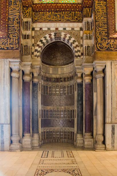
Islamic Cairo
1.0 km
Explore the heart of Egypt's rich Islamic heritage in Islamic Cairo, where stunning architecture and vibrant culture await every traveler.
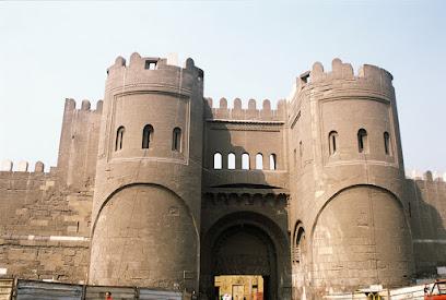
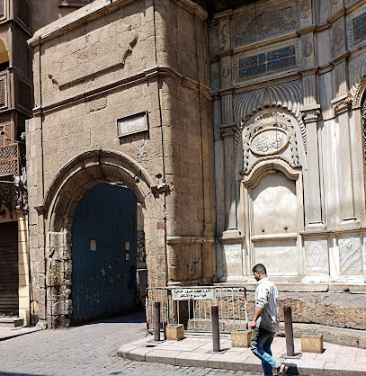
Bab al-Futuh
1.4 km
Explore Bab al-Futuh, an architectural marvel in Cairo, showcasing Islamic design and offering a glimpse into the city’s storied past.
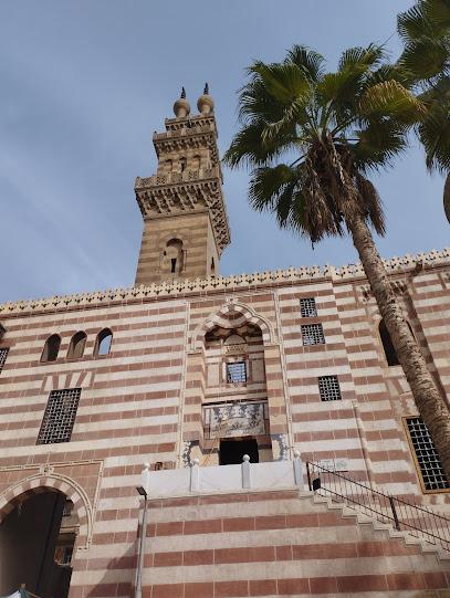
Al-Hakim Mosque
1.5 km
Explore the stunning Al-Hakim Mosque in Cairo, a historical landmark showcasing intricate Islamic architecture and rich cultural heritage.
Bab El Nasr
1.6 km
Explore the grandeur of Bab El Nasr, a historical landmark in Cairo that showcases the city's rich architectural heritage and storied past.
مدرسة القاضي أبو بكر مزهر
1.6 km
Discover the architectural splendor and historical significance of Al-Qadi Abu Bakr Mosque in the heart of El Gamaliya, Cairo.
Sulayman Agha al-Silahdar Mosque
1.7 km
Explore the stunning Sulayman Agha al-Silahdar Mosque, a historical gem in Cairo showcasing exquisite Islamic architecture and tranquil courtyards.
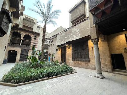
Bayt al-Suhaymi
1.7 km
Experience the architectural beauty and historical significance of Bayt al-Suhaymi, a hidden gem in Cairo's bustling El Gamaliya district.
Door Qantara
1.7 km
Explore Door Qantara, a historical treasure in Cairo's El-Gamaleya, where rich culture and stunning architecture converge for an unforgettable experience.
Al-Aqmar Mosque
1.8 km
Explore Al-Aqmar Mosque, an architectural gem in Cairo showcasing exquisite Islamic design and rich historical significance.
شارع المعز لدين الله الفاطمي
1.8 km
Explore the rich history and vibrant culture of Cairo on Al-Muizz Street, a UNESCO World Heritage site filled with stunning architecture and lively markets.
Beshtak Palace
1.9 km
Explore the rich history and stunning architecture of Beshtak Palace, a captivating museum in Cairo's historic district.
Madrasa And Dome Of Sultan Al-Nassir Mohammed Ibn Qalawun
1.9 km
Discover the exquisite architecture and rich history of the Madrasa and Dome of Sultan Al-Nassir Mohammed Ibn Qalawun in Cairo's historic district.
Qalawun Complex
2.0 km
Explore the Qalawun Complex in Cairo, where history, architecture, and culture converge in a stunning showcase of Islamic heritage.
Holiday Tours
2.0 km
Experience Egypt's rich history and vibrant culture with Holiday Tours, your trusted partner for unforgettable travel adventures in Cairo.
Khan el-Khalili
2.2 km
Explore the enchanting Khan el-Khalili bazaar in Cairo, where vibrant culture, history, and exquisite crafts await every traveler.
Essential places to dine
Emporio CG
1.1 km
Discover authentic Egyptian flavors at Emporio CG, where culinary tradition meets modern elegance in the heart of Cairo.

مطعم الكبيرة
1.2 km
Experience authentic Egyptian breakfast delights at مطعم الكبيرة in El Gamaliya, where tradition meets flavor in every bite.
Zeeyara Restaurant
1.7 km
Discover authentic Egyptian cuisine at Zeeyara Restaurant with breathtaking views of the pyramids in El Gamaliya.
Abou Ahmed
2.0 km
Experience the authentic taste of Egypt at Abou Ahmed – a must-visit restaurant in Cairo's Al Gamaleyah district.
Nitocrisse Restaurant & Cafe
2.2 km
Discover Nitocrisse Restaurant & Cafe: A Culinary Gem Offering Authentic Izakaya Experience in the Heart of Cairo.
Eish + Malh
2.3 km
Discover Eish + Malh: A vibrant dining destination in Downtown Cairo offering diverse cuisine and live entertainment.
Gad
2.4 km
Experience the flavors of Egypt at Gad—where traditional cuisine meets fast food convenience in El Gamaliya.
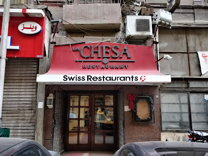
LA Chesa Restaurant
2.4 km
Experience authentic Egyptian cuisine at LA Chesa Restaurant in Downtown Cairo, where traditional flavors meet modern dining ambiance.
Wust El Balad Restaurant - مطعم وسط البلد
2.5 km
Discover authentic Egyptian cuisine at Wust El Balad Restaurant, a vibrant dining experience blending tradition with modern flair in Cairo.
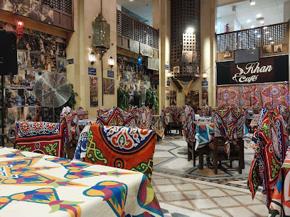
Cafe & Restaurant - Tekiyt Khan Khatun
2.6 km
Discover the authentic taste of Japan at Tekiyt Khan Khatun - A charming izakaya cafe in Cairo offering exquisite flavors and delightful ambiance.
Alain Le Notre
2.8 km
Experience authentic Egyptian barbecue at Alain Le Notre, where flavor meets tradition in the heart of Cairo.
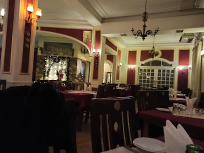
The Citadel Restaurant
2.8 km
Experience authentic Egyptian cuisine at The Citadel Restaurant in Cairo - a culinary gem blending tradition and flavor.
Kamala Pan Asian Restaurant & Bar
3.0 km
Experience exquisite Asian flavors at Kamala Pan Asian Restaurant & Bar in Cairo, where culinary artistry meets elegant ambiance along the Nile.
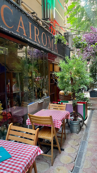
CaiRoma
3.0 km
Experience authentic Italian cuisine at CaiRoma, where every dish tells a story and every meal is a celebration.
Felfela
3.1 km
Discover the essence of Egyptian cuisine at Felfela - where tradition meets flavor in a vibrant setting.
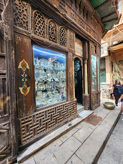
Markets, malls and hidden boutiques
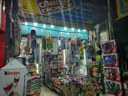
Fawezey-Boutique
1.0 km
Explore the charming Fawezey-Boutique in Al Azbakeya for unique Egyptian gifts, handcrafted treasures, and a taste of local culture.
Khan Al Khalili Center
2.1 km
Explore the rich history and vibrant culture of Cairo at Khan Al Khalili Center, a must-visit shopping destination filled with local crafts and delicious cuisine.
El Nile
2.1 km
Explore the literary wonders of El Nile Bookstore, a cultural gem in Cairo's vibrant Oraby district, where Egyptian heritage meets modern literature.
إيجيبت بازار - Egypt Bazaar
2.1 km
Explore the vibrant Egypt Bazaar in Cairo for authentic souvenirs and local crafts showcasing the rich culture of Egypt.
Jordi bazar shop
2.2 km
Explore Jordi Bazar Shop in Cairo for unique souvenirs that celebrate Egyptian culture, perfect for every traveler seeking a memorable keepsake.
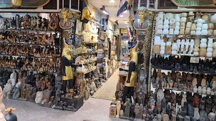
Alabaster shop
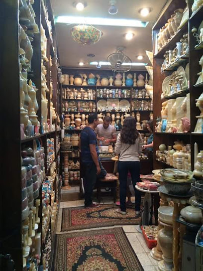
2.2 km
Discover unique alabaster crafts and gifts in the heart of Cairo's historic El Gamaliya district, reflecting Egypt's rich artistic heritage.
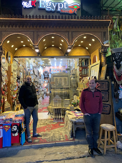
Egypt Store
2.2 km
Explore unique women's fashion and accessories at the Egypt Store in Cairo, a vibrant destination for style enthusiasts.
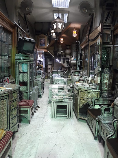
Old Shop Gallery
2.2 km
Explore Old Shop Gallery in Cairo for unique antique furniture and artifacts steeped in Egyptian history and craftsmanship.
Egyptian مصري
2.2 km
Explore Egyptian مصري, a vibrant gift shop in Cairo's historic bazaar, offering unique souvenirs and handcrafted treasures that capture the essence of Egypt.
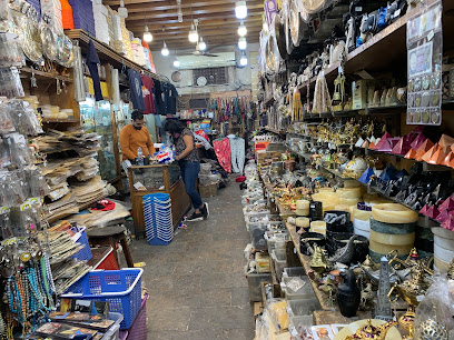
Bazaar El-Ekhlas | بازار الاخلاص
2.2 km
Explore the historic Bazaar El-Ekhlas, a treasure trove of antiques and unique artifacts in Cairo's vibrant Khan El-Khalili market.
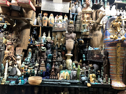
Egyptology store
2.2 km
Explore the Egyptology Store in Cairo's Khan el-Khalili for unique souvenirs and gifts that celebrate Egypt's rich history and culture.
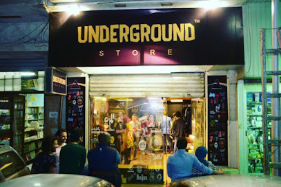
Underground Store
2.6 km
Explore the Underground Store in Cairo for unique clothing that blends modern style with traditional Egyptian flair.
See You Accessories
2.7 km
Discover a stylish blend of accessories, bags, and cosmetics at See You Accessories in Cairo, a must-visit for every fashion enthusiast.
The thousand and one nights bazaar
2.9 km
Explore the magic of The Thousand and One Nights Bazaar in Cairo, where exquisite souvenirs and vibrant culture come together for an unforgettable shopping experience.
Kangaroo Shop
2.9 km
Explore the charm of Cairo through unique gifts and handcrafted treasures at the Kangaroo Shop, your perfect souvenir destination.
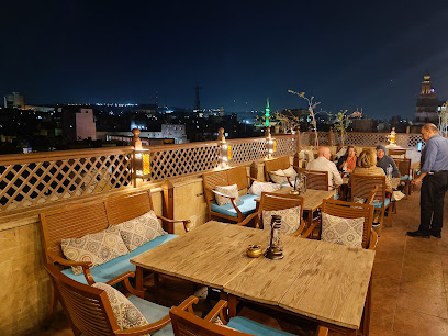
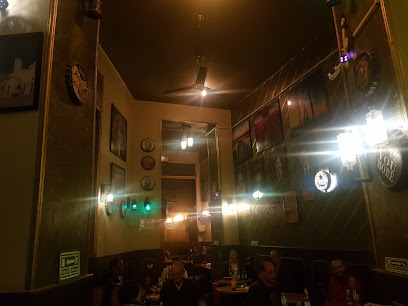
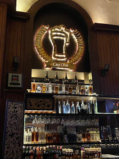
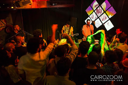
Essential bars & hidden hideouts
رمضان توتى
0.9 km
Discover the vibrant nightlife of Cairo at Ramadan Toti, blending local flavors and a lively atmosphere for an unforgettable experience.
Abu saaed
1.8 km
Discover the lively spirit of Cairo at Abu Saaed, a bar where traditional flavors meet vibrant nightlife.
Ьалвлв
1.8 km
Discover the lively ambiance and authentic Egyptian nightlife at Ьалвлв, a must-visit bar in El Gamaliya, Cairo.
Cave De Corinthos Vintage Bar
2.3 km
Discover the lively ambiance of Cave De Corinthos Vintage Bar in Cairo, a perfect blend of vintage charm and modern drinks.
The Roof Garden
2.3 km
Experience Cairo from new heights at The Roof Garden - a luxurious lounge with stunning views and a vibrant atmosphere.
كاف دي كورينتوس بار
2.4 km
Discover the vibrant ambiance of كاف دي كورينتوس بار in Al Azbakeya, a perfect spot for relaxation and mingling in the heart of Cairo.
LE KAF DE CORANTOS BAR
2.4 km
Discover Cairo's nightlife at Le Kaf de Corantos Bar, where local charm meets vibrant energy in the heart of Downtown.
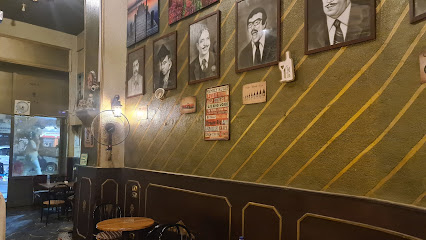
Cap D'or
2.4 km
Experience Cairo's nightlife at Cap D'or, a vibrant bar offering a wide selection of drinks and a lively atmosphere for all visitors.
Le Comte Downtown Bar
2.4 km
Discover the vibrant nightlife at Le Comte Downtown Bar in Abdeen, Cairo—where locals and tourists unite for unforgettable evenings.
Odeon Palace Bar
2.7 km
Dive into the lively atmosphere of Odeon Palace Bar in Cairo, where delicious food, refreshing drinks, and vibrant nightlife come together.
X-tètika Bar & Grill
2.7 km
Experience the flavors of Egypt at X-tètika Bar & Grill, where culinary tradition meets contemporary dining in the heart of Cairo.
Rumah abbo
2.7 km
Discover Rumah Abbo: A vibrant bar in Al-Darb El-Ahmar offering an authentic taste of Cairo's nightlife and rich local culture.
جامايكا
2.8 km
Discover the vibrant nightlife of Jamaica in Cairo, where cocktails, music, and a lively atmosphere await every visitor.
Kings Bar
2.9 km
Discover Kings Bar in Cairo for a lively atmosphere, delectable drinks, and unforgettable nightlife experiences in the heart of Egypt.
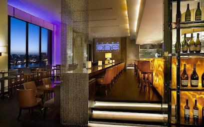
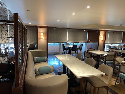
Stage One Lounge & Bar
3.0 km
Discover the allure of Cairo at Stage One Lounge & Bar, where elegant cocktails and breathtaking Nile views create unforgettable moments.
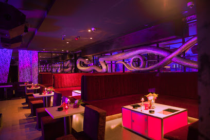
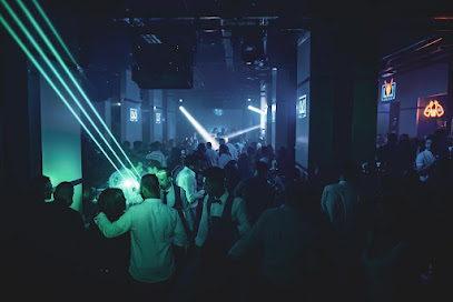
Nightclubs & after hour spots
El Mar الممر
2.5 km
Discover the pulse of Cairo's nightlife at El Mar الممر, a vibrant disco club where music and dance unite in an unforgettable experience.

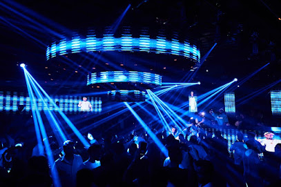
Venom Khaliji Club
3.0 km
Discover the vibrant energy and enchanting Khaliji music at Venom Khaliji Club, the ultimate nightlife destination in Cairo.
ECHO Prive
3.1 km
ECHO Prive: A Luxurious Disco Club in Cairo Offering Unforgettable Nightlife Experiences with Stunning Nile Views.
Greek Campus Rooftop
3.2 km
Discover the vibrant nightlife at Greek Campus Rooftop, where stunning views meet an energetic atmosphere in the heart of Cairo.
جنينة بيت المايكول
3.4 km
Experience the vibrant nightlife of Cairo at جنينة بيت المايكول, where music and dance create unforgettable memories.
A&H Bistro and Bar
3.4 km
Discover Cairo’s nightlife at A&H Bistro and Bar, where vibrant music, delicious cuisine, and an energetic atmosphere await.
Executive Lounge Marriott
3.5 km
Experience luxury and relaxation at the Executive Lounge Marriott in Zamalek, Cairo, offering exquisite refreshments and stunning views.
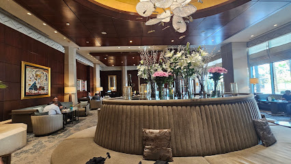
Lobby Lounge
3.5 km
Experience luxury and tranquility at the Ritz-Carlton Cairo's Lobby Lounge, overlooking the enchanting Nile River.
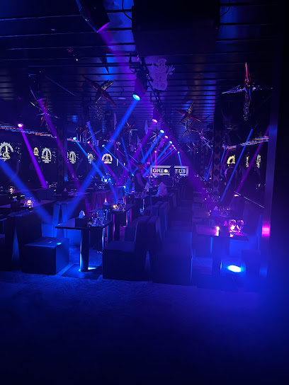
OMNI club cairo
3.6 km
Experience the vibrant nightlife at OMNI Club Cairo, the ultimate disco destination in Zamalek, where music and dance unite for an unforgettable evening.

Blue Sky
3.8 km
Dive into Cairo's nightlife at Blue Sky, a premier dance club in Zamalek, where music and energy combine for an unforgettable experience.
Disco club
3.9 km
Discover the pulsating energy of Zamalek's Disco Club, where unforgettable nights come alive through music and dance.
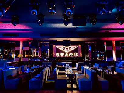
STAGE Cairo club - ديسكو ستيدج
4.4 km
Discover the electrifying nightlife at STAGE Cairo Club in Zamalek, where vibrant music and a lively crowd create unforgettable moments.
Level Club
4.4 km
Level Club: Dive into Cairo's electrifying nightlife at one of Giza's most popular nightclubs, where music and energy collide.
Cairo Jazz Club
4.6 km
Discover Cairo's nightlife at Cairo Jazz Club, where live music meets vibrant energy in the heart of Giza's entertainment scene.
1 Ok Club
4.7 km
Dive into the pulsating nightlife of Cairo at 1 Ok Club, your ultimate disco destination in Zamalek, where music and culture collide.