Replot Bridge, Ostrobothnia Travel Guide
Experience Finland's longest bridge, connecting to the stunning Kvarken Archipelago. Enjoy panoramic views and easy access to nature and maritime culture.
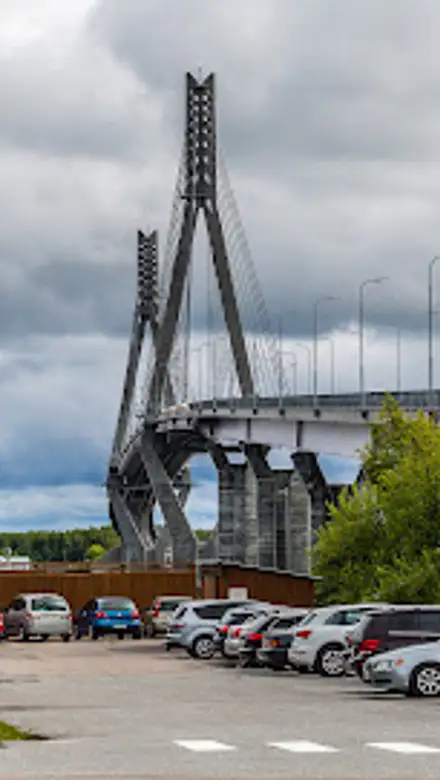
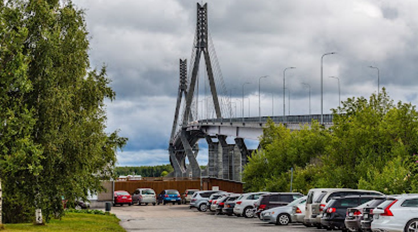
The Replot Bridge, Finland's longest, gracefully connects the mainland to Replot Island near Vaasa. This cable-stayed bridge offers stunning panoramic views of the Kvarken Archipelago, a UNESCO World Heritage site, and serves as a vital link for locals and tourists alike.
A brief summary to Replot Bridge
- Replotvägen, Korsholm, FI
- Click to display
- Click to display

Know before you go
Hi, I'm Eve. Here are a few practical things to know before exploring Replot Bridge.
- Check the local weather forecast before visiting, as conditions can change rapidly and affect visibility.
- Bring your camera to capture the stunning views of the bridge and the surrounding archipelago.
- Explore the walking paths and trails near the bridge to fully appreciate the natural beauty of the area.
Do you manage this location?
Take control to get all the benefits, like improved information, better appearance, and stronger visibility across AI-powered discovery. Learn more about listing your business on Evendo
Activate your presenceOther nearby places you may find interesting
The closest places of the same kind, if this one is not quite what you had in mind.
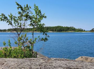
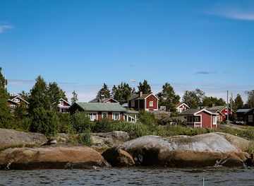
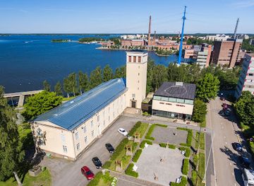
Explore Replot Bridge on the Map
A handpicked selection of must-see spots near Replot Bridge, mapped for you.
Getting There
-
Public Transport
From the center of Vaasa, take a bus towards Korsholm. Several bus lines connect Vaasa and Korsholm, with departures approximately every hour. Check the Wasabus website or the Matkahuolto website for the most up-to-date schedules and routes. A single ticket within the city of Vaasa and to Smedsby (Sepänkylä) costs €3.30 for adults. From the 'Replotvägen' stop, walk approximately 1.5 kilometers north along Replotvägen to reach the bridge.
-
Car
From Vaasa, take Route 8 towards Kokkola. After approximately 24 kilometers, take the exit towards Mustasaari/Replot (Route 710). Continue on Route 710 for about 15 kilometers, following the signs for Replot. Parking areas are available near the bridge. Parking is generally free. Be aware that during peak season parking might be limited.
-
Walking/Biking
If you are in the Replot area, walking and biking paths lead to the bridge. From the center of Replot, follow the signs for Replotvägen. The bridge is approximately a 30-minute walk or a 10-minute bike ride from the center. Enjoy the scenic views along the way!
Discover more about Replot Bridge













Your all‑in‑one travel companion app
Explore expert travel guides, compare and book tours, experiences, hotels, and more—all from the palm of your hand. Download now for seamless trip planning wherever your wanderlust takes you.


Explore More of Ostrobothnia
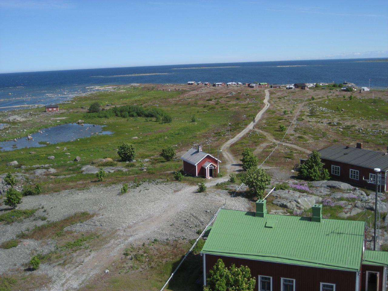
Looking beyond Replot Bridge? Discover Ostrobothnia for broader travel guides, local hot-spots, and regional highlights.
Explore Ostrobothnia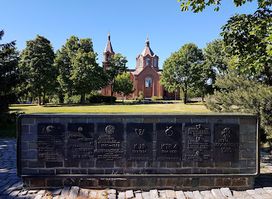
Discover the serene Memorial Wall to Troop Departments in Vaasa, a tribute to service and sacrifice amidst beautiful parkland.
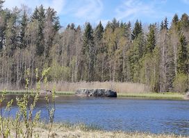
Escape to the Finnish wilderness on the Iskmo-Jungsund Hiking Trail in Mustasaari, offering scenic views and tranquil forests for all skill levels.