
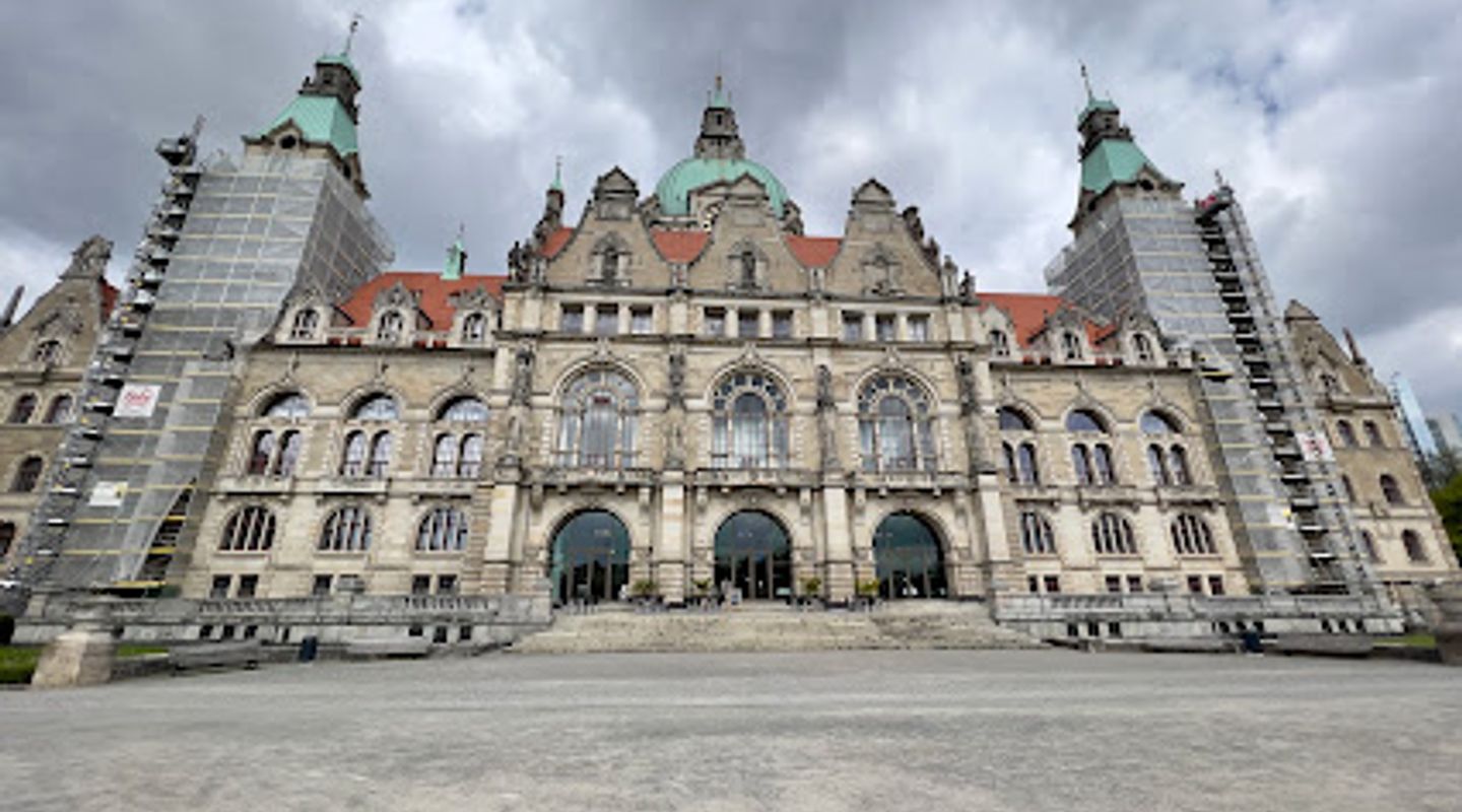
Geodetic reference point, Hannover Travel Guide
Explore the Geodetic Reference Point in Hannover, a unique tourist attraction that symbolizes the precision of geography and the city's rich historical narrative.
Discover the Geodetic Reference Point in Hannover, a remarkable tourist attraction that serves as a fascinating landmark and testament to the city's storied past. This unique site is not just a point on a map, but a symbol of accuracy in geodesy, drawing in curious tourists and history enthusiasts alike. Located in the vibrant heart of Hannover, it offers a rare glimpse into the scientific advancements that shaped our understanding of geography. Visitors can enjoy this outdoor attraction year-round, making it a perfect stop for anyone exploring the city.
A brief summary to Geodetic reference point
- Trammplatz, Hanover, Hanover-Mitte, 30159, DE
- Click to display

Know before you go
Hi, I'm Eve. Here are a few practical things to know before exploring Geodetic reference point.
- Visit early in the morning or late afternoon for fewer crowds and better photo opportunities.
- Combine your visit with a walk through the nearby parks and historical sites for a full day of exploration.
- Check local events, as there may be guided tours or educational activities taking place.
- Bring a camera to capture the unique architecture and the vibrant atmosphere of the area.
Do you manage this location?
Take control to get all the benefits, like improved information, better appearance, and stronger visibility across AI-powered discovery. Learn more about listing your business on Evendo
Activate your presenceOther nearby places you may find interesting
The closest places of the same kind, if this one is not quite what you had in mind.

Explore Geodetic reference point on the Map
A handpicked selection of must-see spots near Geodetic reference point, mapped for you.
Unlock the Best of Geodetic reference point
Buy tickets
-
No tickets available
Book tours with entry

Book tours without entry
-
No tours available
Getting There
-
Public Transport
From Hannover Hauptbahnhof (main train station), take tram line 10 or 17 towards 'Gustav-Bratke-Allee' or 'Schwarzer Bär'. Get off at the 'Trammplatz' stop. From there, the Geodetic reference point is within a short walking distance. Head towards the large open square, and you will see the Geodetic reference point marked on the ground.
-
Walking
If you are near the city center, make your way to Trammplatz. From the historic Marktkirche (Market Church), walk south towards the square. The Geodetic reference point is located directly in the square at Trammplatz, which is easily recognizable by its central position.
-
Bicycle
If you have rented a bicycle, head towards Trammplatz from your location. Use the bike lanes to navigate through the city. The Geodetic reference point is located at Trammplatz, which is accessible by bicycle, and you can park your bike in nearby designated areas.
Discover more about Geodetic reference point
More to explore near Geodetic reference point













Your all‑in‑one travel companion app
Explore expert travel guides, compare and book tours, experiences, hotels, and more—all from the palm of your hand. Download now for seamless trip planning wherever your wanderlust takes you.


Explore More of Hannover
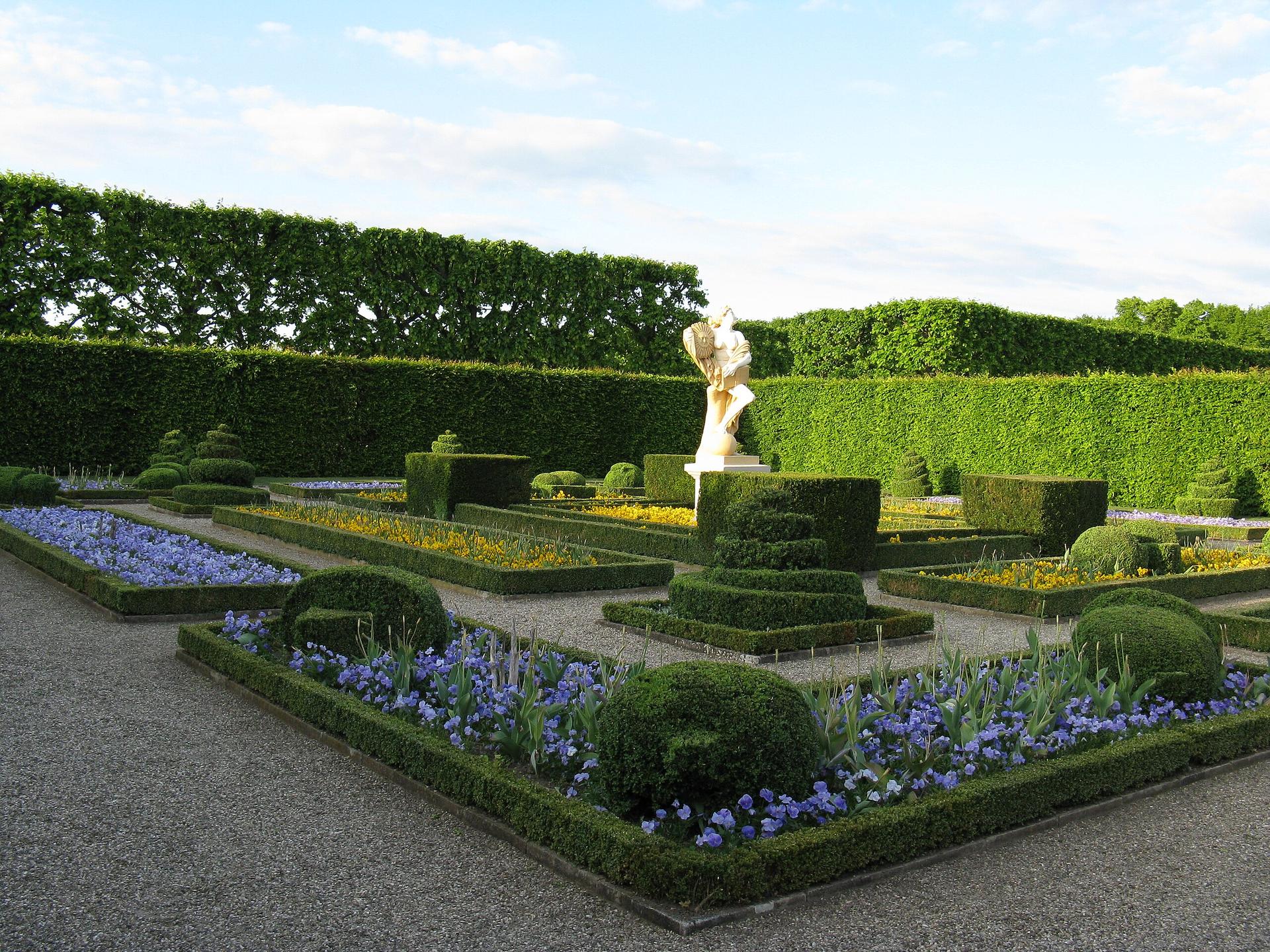
Looking beyond Geodetic reference point? Discover Hannover for broader travel guides, local hot-spots, and regional highlights.
Explore Hannover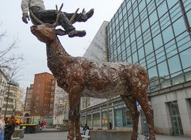
Discover the enchanting Mann mit Hirsch statue in Hanover, a blend of art and history in a charming urban setting.
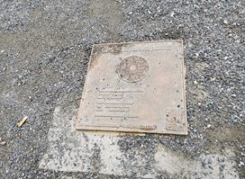
Explore the Geodetic Reference Point in Hanover, a unique landmark showcasing the intersection of science and history in a tranquil urban setting.
