Geodetic reference point
The Geodetic Reference Point: A Unique Landmark in Hannover
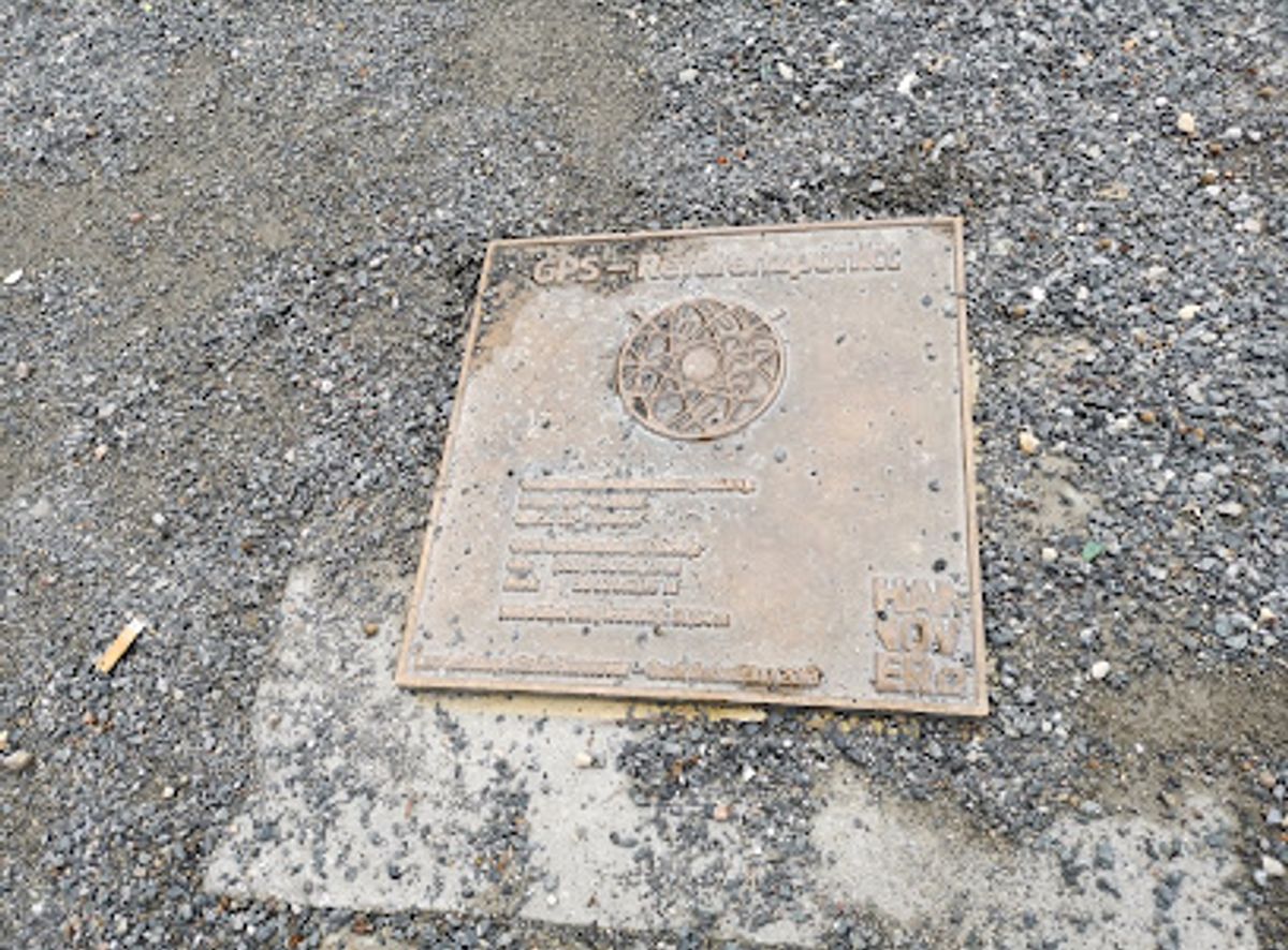
Explore the Geodetic Reference Point in Hanover, a unique landmark showcasing the intersection of science and history in a tranquil urban setting.
Discover the Geodetic Reference Point in Hanover, a unique tourist attraction that embodies the city's scientific legacy. Perfect for photo opportunities and a brief historical exploration, this site is a must-visit for curious travelers.
Opening times, essentials, and a few local tips gathered into one calmer, easier-to-scan planning section.
Car
If you're traveling by car, head towards Hannover and follow signs for the city center. Use the GPS coordinates 52.3664235, 9.7380384 to navigate directly to Trammplatz, 30159 Hannover. There are several parking options nearby including street parking and parking garages, but be aware that some may require payment. Expect to pay approximately €1.50 to €2.50 per hour.
Public Transportation
To reach the Geodetic reference point via public transportation, take the train to Hannover Hauptbahnhof (main train station). Once you arrive, exit the station and follow the signs for the tram station. Board tram line 10 or 17 towards 'Gartenstadt' or 'Wettbergen' respectively, and disembark at 'Trammplatz'. The Geodetic reference point is a short walk from the tram stop. The fare for a single ride ticket is around €2.80.
Walking
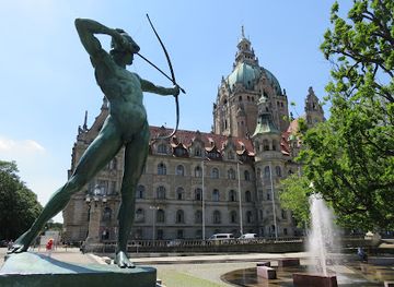
If you are already in the city center, you can easily walk to the Geodetic reference point. From the Marktkirche (Market Church), head towards the south and take a left onto Trammplatz. It should take approximately 10 minutes on foot to reach the Geodetic reference point, which is located in the square.
Use Tower Bridge as your starting point for nearby food, family ideas, nightlife, and more local discoveries.

Explore expert travel guides, compare and book tours, experiences, hotels, and more—all from the palm of your hand. Download now for seamless trip planning wherever your wanderlust takes you.
Explore Lower Saxony: From medieval towns and majestic castles to stunning natural landscapes and vibrant cities, this German state offers something for every traveler.
Tell me more about Lower Saxony