
Discover the Geodätischer Referenzpunkt: A Historic Landmark in Potsdam
Explore the Geodätischer Referenzpunkt in Potsdam, a historic landmark symbolizing the evolution of geodesy and a serene spot for curious travelers.
The Geodätischer Referenzpunkt in Potsdam is a significant historic site that offers tourists a glimpse into the fascinating world of geodesy. As you explore this remarkable landmark, you'll appreciate its scientific importance and enjoy the lush surroundings of the area.
A brief summary to Geodätischer Referenzpunkt
- Schloßstraße, Potsdam, Innenstadt, 14467, DE
Local tips
- Visit during the early morning or late afternoon for the best lighting for photography.
- Combine your visit with nearby attractions like the Sanssouci Palace for a rich historical experience.
- Take a guided tour if available, to learn more about the scientific significance of the site.
Getting There
-
Walking
If you are in the center of Potsdam, start at the Brandenburg Gate (Brandenburger Tor). From there, head south on Friedrich-Ebert-Straße. Continue straight until you reach the intersection with Schloßstraße. Turn left onto Schloßstraße and walk approximately 300 meters. You will find the Geodätischer Referenzpunkt on your right. It is located near the intersection of Schloßstraße and the smaller side street.
-
Public Transport
If you prefer to use public transport, take tram line 91 from Potsdam Hauptbahnhof (Main Station). Board the tram in the direction of 'Babelsberg' and get off at the stop 'Schloßstraße'. After exiting the tram, walk along Schloßstraße for about 200 meters. You will soon see the Geodätischer Referenzpunkt on your left side, close to the intersection with the side street.
Discover more about Geodätischer Referenzpunkt
Iconic landmarks you can’t miss
Geodätischer Referenzpunkt
0.0 km
Explore the Geodätischer Referenzpunkt in Potsdam, a historic landmark symbolizing the evolution of geodesy and a serene spot for curious travelers.
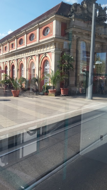
Am Neuen Markt
0.1 km
Explore the vibrant Am Neuen Markt in Potsdam, a cultural hub filled with history, stunning architecture, and delightful local cuisine.

Brandenburg State Parliament
0.2 km
Explore the Brandenburg State Parliament in Potsdam, a stunning architectural marvel rich in history and political significance.
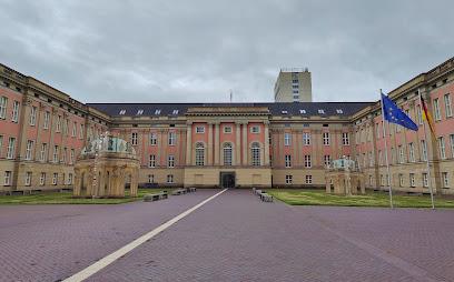
Zugabe - Schlosspavillion Potsdam - Florian Dombois
0.2 km
Discover the elegant Zugabe - Schlosspavillon in Potsdam, where history and contemporary artistry converge in a serene setting.
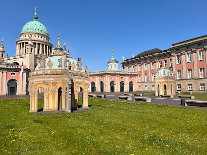
Fortunaportal
0.2 km
Explore Fortunaportal, a stunning architectural gem in Potsdam, embodying rich history and vibrant local culture amidst picturesque surroundings.
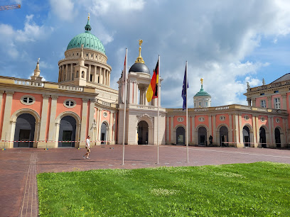
Obelisk
0.2 km
Discover Potsdam's rich history at the stunning Obelisk, a must-visit historical landmark in the vibrant Alten Markt square.
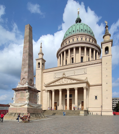
Historischer Pegelstandsanzeiger
0.3 km
Discover the historic Pegelstandsanzeiger in Potsdam, a remarkable landmark that showcases the region's architectural beauty and rich maritime history.
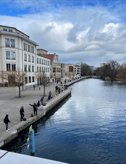
Garrison Church Potsdam
0.4 km
Explore the Garrison Church in Potsdam, a stunning neoclassical landmark steeped in history and architectural beauty, perfect for culture-loving travelers.
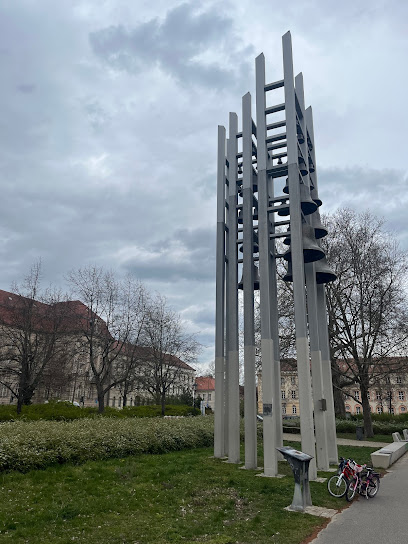
Rotbuche Torso
0.4 km
Explore the artistic beauty and cultural significance of Rotbuche Torso, an iconic sculpture in the heart of Potsdam that captivates every visitor.

Wasserspiele Freundschaftsinsel Potsdam
0.4 km
Discover the enchanting waters and lush gardens of Freundschaftsinsel, a serene oasis in the heart of Potsdam, perfect for relaxation and exploration.
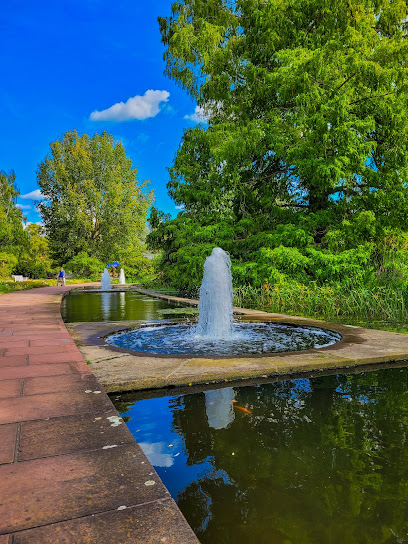
Freundschaftsinsel Blick
0.5 km
Explore the picturesque beauty and historical charm of Freundschaftsinsel Blick in Potsdam, a serene oasis for nature lovers and history enthusiasts.
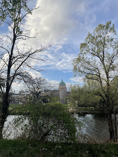
Potsdam
0.7 km
Explore Potsdam, a UNESCO World Heritage city near Berlin, with stunning palaces, gardens, and a rich Prussian history, offering a captivating blend of culture and nature.
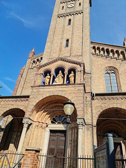
St. Peter und Paul
0.7 km
Discover the architectural beauty and spiritual serenity of St. Peter und Paul, a baroque gem in the heart of Potsdam, Germany.
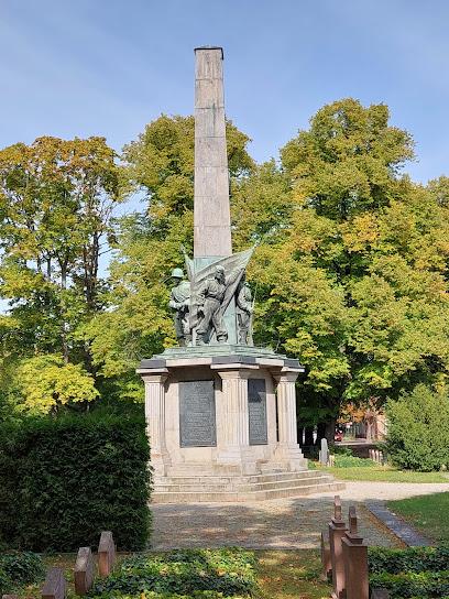
Sowjetisches Ehrenmal
0.7 km
Reflect on Potsdam's complex past at the Sowjetisches Ehrenmal, a poignant memorial to Soviet soldiers on Bassinplatz, honoring their sacrifices during World War II.
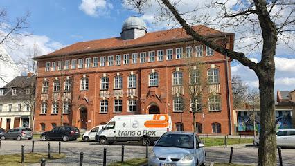
u. Planitz 2
0.8 km
Explore the historical charm of u. Planitz 2 in Potsdam, where rich culture meets vibrant local life in an unforgettable tourist experience.
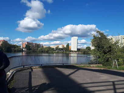
Unmissable attractions to see
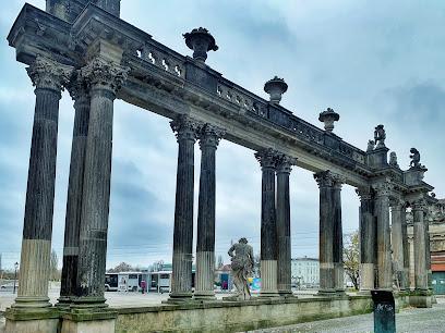
Ringerkolonnade
0.1 km
Explore the Ringerkolonnade in Potsdam - a stunning architectural gem surrounded by lush gardens, perfect for leisurely strolls and cultural experiences.
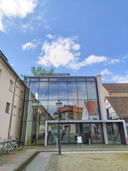
House of Brandenburg-Prussian History
0.1 km
Discover the captivating history of Brandenburg and Prussia at the House of Brandenburg-Prussian History in Potsdam, a must-visit local museum and tourist attraction.
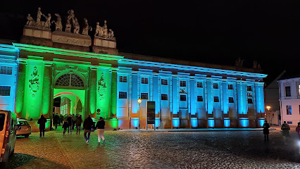
Neuer Markt Potsdam
0.2 km
Explore Neuer Markt, a historical landmark in Potsdam, where stunning architecture meets vibrant local culture in a picturesque square.
Tourist Information On Altenmarkt
0.2 km
Explore Potsdam like a local from the Tourist Information Center - your gateway to the city's historic sites, cultural experiences, and hidden gems.
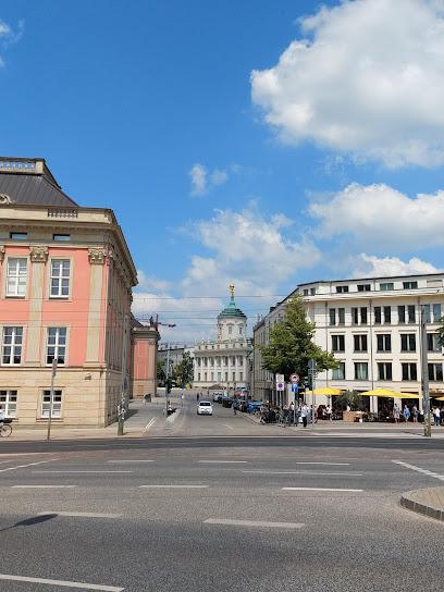
Alter Markt
0.2 km
Discover the historic charm of Alter Markt in Potsdam, where stunning architecture meets vibrant culture in the heart of the city.
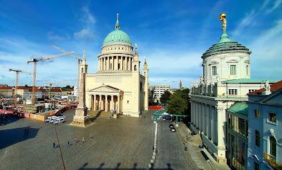
St. Nicholas' Church, Potsdam
0.2 km
Discover the architectural beauty and serene ambiance of St. Nicholas' Church in Potsdam, a historic landmark offering stunning views and rich cultural heritage.
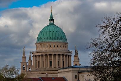
Museum Barberini
0.3 km
Explore European masterpieces and immerse yourself in the artistic heritage at Museum Barberini in Potsdam, where culture meets creativity.
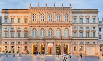
Potsdam Museum – Forum für Kunst und Geschichte
0.3 km
Explore the rich artistic and historical heritage of Potsdam at the Potsdam Museum – a cultural gem in the heart of the city.
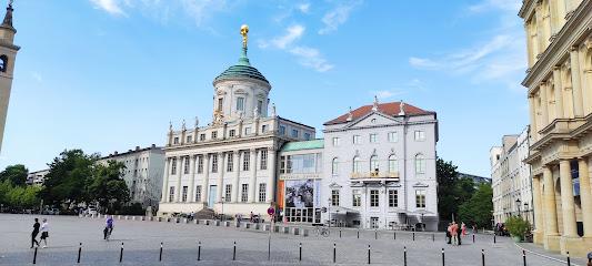
Rechenzentrum Potsdam
0.4 km
Discover the innovative Rechenzentrum Potsdam, a cultural center where art and technology converge in the heart of this historic city.
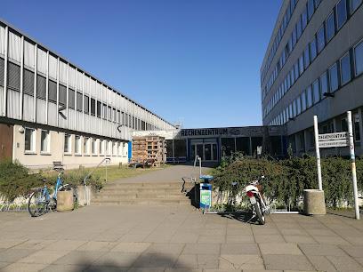
Naturkundemuseum Potsdam
0.5 km
Explore the Naturkundemuseum Potsdam: A captivating journey through natural history and local biodiversity awaits every visitor.
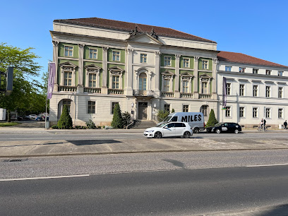
Brandenburger Straße
0.6 km
Discover the vibrant Brandenburger Straße in Potsdam, where history, shopping, and local cuisine come together to create a memorable experience.
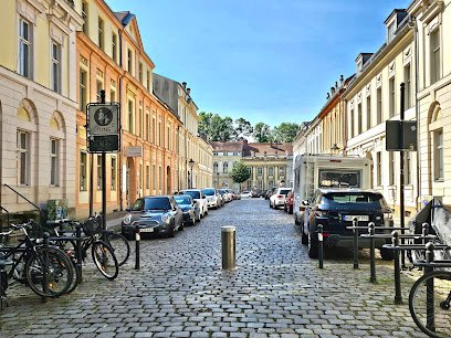
Bassinplatz
0.7 km
Discover the charm of Bassinplatz in Potsdam, a historical landmark rich in culture, stunning architecture, and vibrant local life.
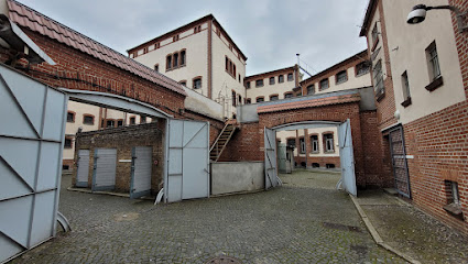
Stiftung Gedenkstätte Lindenstraße
0.7 km
Discover the poignant history of Germany at Stiftung Gedenkstätte Lindenstraße, a museum dedicated to remembrance and education.
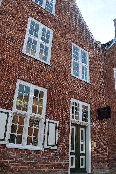
Jan Bouman Haus
0.9 km
Explore the Jan Bouman Haus in Potsdam, a captivating museum showcasing the rich artistic heritage and culture of the region.
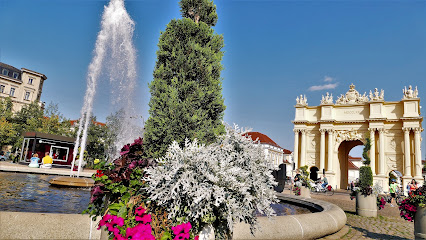
Fountain on the Luisenplatz
0.9 km
Explore the Fountain on Luisenplatz in Potsdam: a serene blend of history, beauty, and vibrant local life, perfect for tourists seeking charm and relaxation.
Essential places to dine
Genusswerkstatt Potsdam
0.0 km
Experience the best of Italian cuisine at Genusswerkstatt Potsdam – a perfect blend of flavor, ambiance, and hospitality.
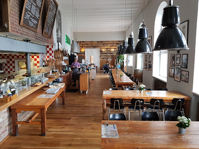
Restaurant kochZIMMER - Potsdam
0.1 km
Experience fine dining at Restaurant kochZIMMER in Potsdam - where traditional German flavors meet modern culinary excellence.
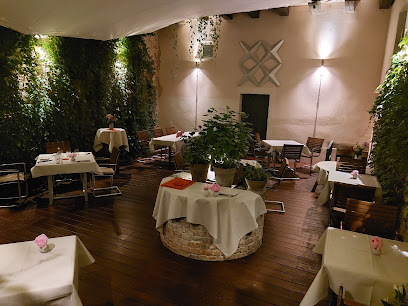
Restaurant Waage
0.1 km
Experience authentic Italian cuisine at Restaurant Waage in Potsdam – where culinary excellence meets Mediterranean charm.
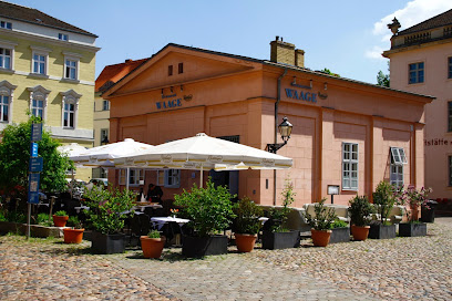
Restaurant El Puerto
0.2 km
Experience authentic Mediterranean flavors at Restaurant El Puerto in Potsdam - a delightful destination for food lovers.
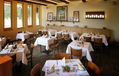
PETER PANE Burgergrill & Bar
0.2 km
Experience gourmet burgers and vibrant atmosphere at PETER PANE Burgergrill & Bar in Potsdam - perfect for meat lovers and vegetarians alike!

L'Osteria
0.3 km
Experience authentic Italian cuisine at L'Osteria in Potsdam - where every meal feels like a celebration.

A Slice of Britain
0.6 km
Experience authentic British breakfasts at A Slice of Britain in Potsdam, where every meal is crafted with love and quality ingredients.

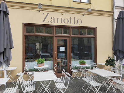
Zanotto Potsdam - Italienisches Restaurant
0.6 km
Experience authentic Italian cuisine at Zanotto Potsdam—where traditional flavors meet modern elegance.
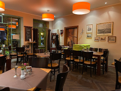
Restaurant Loft - Potsdam
0.6 km
Experience authentic German and Austrian cuisine at Restaurant Loft in Potsdam—where culinary traditions meet modern comfort.

Ristorante LODOVICO
0.7 km
Savor authentic Italian dishes at Ristorante LODOVICO in Potsdam - a culinary gem offering warmth and flavor in every bite.

SuBBa Asian Fine Kitchen
0.7 km
Discover authentic Asian fusion cuisine at SuBBa Asian Fine Kitchen in Potsdam - where every dish tells a flavorful story.

Herr Dang
0.7 km
Discover authentic Vietnamese flavors and exquisite sushi in Potsdam at Herr Dang – a culinary gem offering delightful dishes in a cozy setting.

Backstoltz - Potsdam
0.7 km
Experience the charm of modern European cuisine at Backstoltz Café in Potsdam - perfect for tourists seeking relaxation and great food.
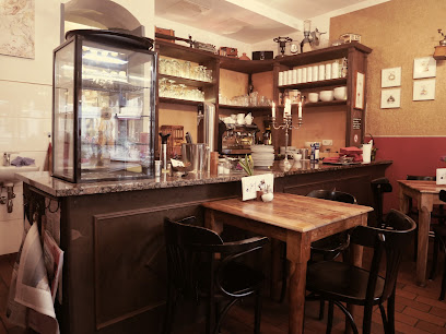
Zur Linde / Potsdam
0.7 km
Experience authentic German cuisine at Zur Linde in Potsdam - where tradition meets flavor in a cozy setting.
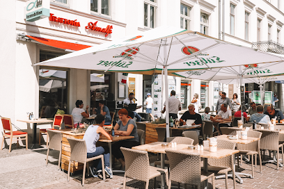
Trattoria Amalfi
0.7 km
Experience authentic Italian cuisine at Trattoria Amalfi in Potsdam - where every dish tells a story.
Markets, malls and hidden boutiques
Wilhelmgalerie
0.5 km
Experience shopping, dining, and vibrant culture at the Wilhelmgalerie, Potsdam's premier shopping destination.

angelina's fashion & lifestyle I Mode I Schmuck I Accessoires
0.6 km
Explore Angelina's Fashion & Lifestyle in Potsdam for exquisite women's clothing, accessories, and jewelry in a stylish and inviting atmosphere.
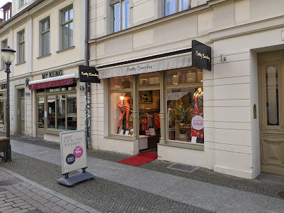
Betty Barclay
0.6 km
Explore the latest in European fashion at Betty Barclay, a premier clothing store in the charming city of Potsdam, Germany.
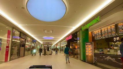
Bahnhofspassagen Potsdam
0.7 km
Discover Bahnhofspassagen Potsdam: A bustling shopping mall filled with brands, local delights, and a lively atmosphere in the heart of the city.
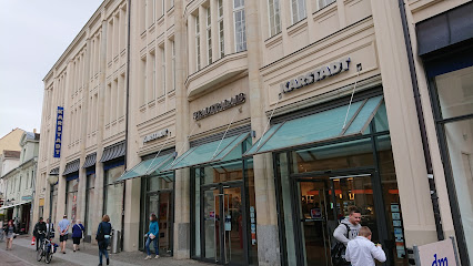
GALERIA Potsdam Stadtpalais
0.7 km
Explore GALERIA Potsdam Stadtpalais: Your Ultimate Shopping Destination in the Heart of Potsdam with Fashion, Home Goods & More!
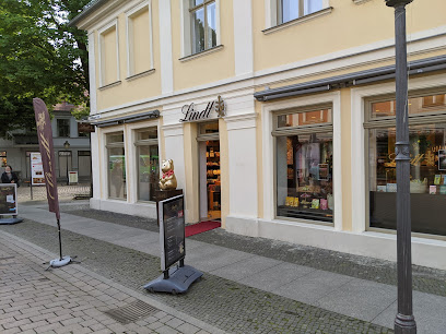
Lindt Boutique Potsdam
0.7 km
Explore the exquisite world of Lindt Boutique Potsdam, where chocolate dreams come true with every delicious bite.
MiaZAYA
0.7 km
Explore MiaZAYA in Potsdam for trendy and affordable fashion for both men and women, right in the heart of the city.
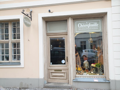
Chèvrefeuille
0.7 km
Discover Chèvrefeuille in Potsdam, a chic clothing store offering a curated selection of stylish apparel and accessories for every fashion enthusiast.
ah & oh - BOUTIQUE CAFÉ
0.7 km
Discover Potsdam's ah & oh - BOUTIQUE CAFÉ, a chic blend of women's fashion and cozy café culture in the city's heart.

Wandel
0.8 km
Explore Wandel in Potsdam for the latest trends in fashion, where quality meets style in a charming shopping environment.

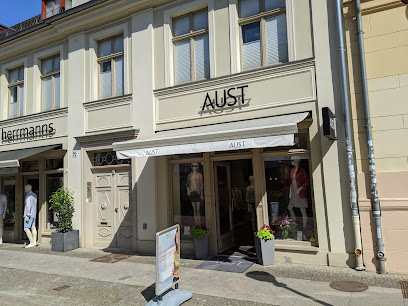
AUST Fashion Potsdam
0.8 km
Discover the charm of AUST Fashion Potsdam, a boutique offering unique clothing and accessories in the heart of the city, perfect for every fashion lover.
Luisenforum
0.8 km
Discover the vibrant shopping experience at Luisenforum, Potsdam's leading mall, where retail meets dining and entertainment.
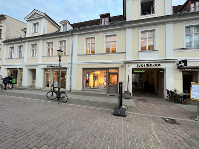
Balloom Design Boutique Atelier
0.8 km
Explore unique fashion at Balloom Design Boutique Atelier in Potsdam, where craftsmanship meets contemporary style for an unforgettable shopping experience.

St. Germaine Boutique
0.8 km
Embrace the elegance of St. Germaine Boutique in Potsdam - a treasure trove of dresses, fur coats, and leather goods that define sophistication.

Markt CENTER
0.8 km
Explore the vibrant Markt CENTER in Potsdam, a shopping paradise offering diverse retail and dining experiences in a welcoming atmosphere.

Essential bars & hidden hideouts
Pub à la Pub Studierendenkneipe
0.2 km
Discover the dynamic nightlife at Pub à la Pub in Potsdam, where vibrant music, affordable drinks, and a welcoming atmosphere await you.

Unscheinbar - Potsdam
0.2 km
Discover the vibrant atmosphere of Unscheinbar, Potsdam's hidden bar gem with a delightful drink selection and a cozy ambiance.

Bar Gelb - Potsdam
0.5 km
Experience Potsdam's nightlife at Bar Gelb, where exquisite cocktails and a charming beer garden await you in the heart of the city.
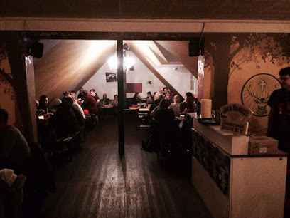
Bar Olga
0.5 km
Discover the vibrant atmosphere of Bar Olga in Potsdam, where delicious drinks and a warm ambiance await every visitor.

Kneipe Hafthorn
0.8 km
Experience the heart of Potsdam at Kneipe Hafthorn, where traditional cuisine meets a lively pub atmosphere, perfect for tourists and locals alike.
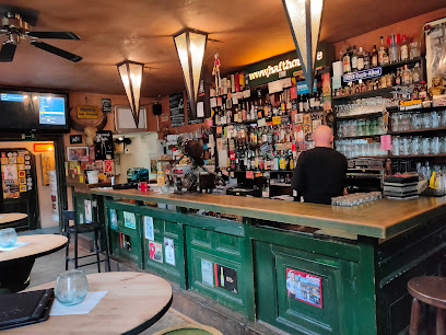
DOWNTOWN - Urban Bar
0.8 km
Discover the essence of Potsdam's nightlife at Downtown - Urban Bar, where innovative cocktails meet a vibrant social scene.

BAR-O-meter
0.8 km
Discover the energetic charm and exquisite cocktails of BAR-O-meter, a premier cocktail bar in the heart of Potsdam's nightlife.

Schech's - Potsdam
0.8 km
Discover the vibrant cocktail culture at Schech's in Potsdam, where innovative drinks and a lively atmosphere await every visitor.

Bar Fritz'n
0.8 km
Experience the vibrant nightlife at Bar Fritz'n, Potsdam's premier cocktail bar and pub, where great drinks and a lively atmosphere await you.
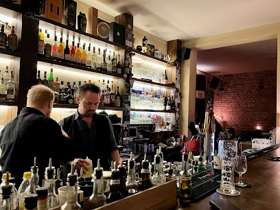
Shisha-Bar The Nubis
0.8 km
Experience the vibrant atmosphere of Shisha-Bar The Nubis in Potsdam, where flavorful hookahs and crafted cocktails meet cultural charm.

Da Vinci Lounge Potsdam
0.8 km
Experience the vibrant nightlife of Potsdam at Da Vinci Lounge, where exquisite cocktails meet a lively hookah bar atmosphere.

ShamRock's - Irish Pub Potsdam
0.9 km
Immerse yourself in an authentic Irish experience at ShamRock's Irish Pub in Potsdam, where great food, drinks, and live music await.
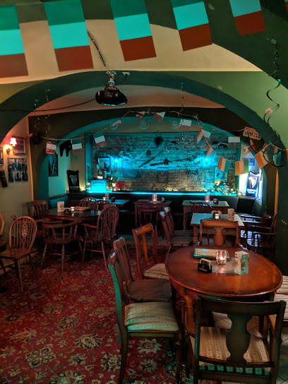
Van Gogh Bar
0.9 km
Discover the vibrant cocktail scene at Van Gogh Bar in Potsdam, where creativity meets flavor in an artistic atmosphere.
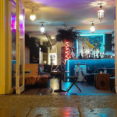
LaLeander Potsdam
1.0 km
Explore the vibrant atmosphere of LaLeander Potsdam, a must-visit bar and restaurant offering delightful cocktails and a diverse menu.
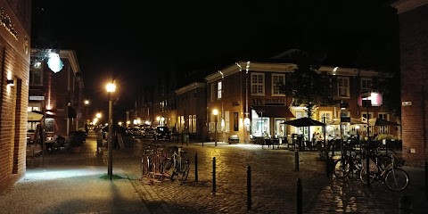
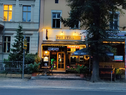
POT STILL - music bar
1.0 km
POT STILL - A lively music bar in Potsdam, offering vibrant live performances and an extensive drink selection for an unforgettable night.
Nightclubs & after hour spots
Club Laguna
0.2 km
Experience the electrifying nightlife at Club Laguna, Potsdam's premier night club with pulsating music and an energetic atmosphere.

Club Latino Potsdam
0.5 km
Dive into the pulsating nightlife of Potsdam at Club Latino, where music and dance create an unforgettable experience.

Club Charlotte
0.5 km
Discover the Thrilling Nightlife Experience at Club Charlotte, Potsdam's Premier Nightclub and Concert Venue, Where Music and Dance Come Alive.

Club Bergwerk
1.0 km
Discover the electrifying nightlife at Club Bergwerk in Potsdam, where dancing, cocktails, and unforgettable moments await.

Gutenberg100 - Livemusik und Karaokebar - Potsdam
1.0 km
Discover Potsdam's nightlife at Gutenberg100, where live music, karaoke, and cocktails come together for an unforgettable evening.

Spartacus
1.5 km
Dive into the energetic nightlife of Spartacus, a top night club in Potsdam offering music, drinks, and a vibrant atmosphere for all.

Parkdeck by Clärchen's
3.6 km
Dive into Potsdam's nightlife at Parkdeck by Clärchen's, where vibrant music and an energetic crowd await for an unforgettable night out.

Nightclub Berlin K133
19.6 km
Experience the electrifying nightlife of Berlin at K133, a premier nightclub with an energetic atmosphere and diverse music.

Tabu Bar Tabledance Club - Berlin
21.3 km
Discover the electrifying nightlife of Berlin at Tabu Bar Tabledance Club, where unforgettable performances and vibrant music await your presence.

Paradise Club Berlin
21.3 km
Immerse yourself in the electrifying ambiance of Paradise Club Berlin, where unforgettable nights and vibrant music await.

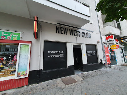
New West Club - Berlin
21.4 km
Discover Berlin's nightlife at New West Club, a stylish disco club offering electrifying music, vibrant atmosphere, and unforgettable dance experiences.
Rush Club
21.4 km
Rush Club in Berlin offers an unparalleled nightlife experience with electrifying music, vibrant dance floors, and an unforgettable atmosphere.

Club Lady Nina
21.4 km
Immerse yourself in Berlin's nightlife at Club Lady Nina, where music, dance, and unforgettable experiences await amidst a vibrant atmosphere.

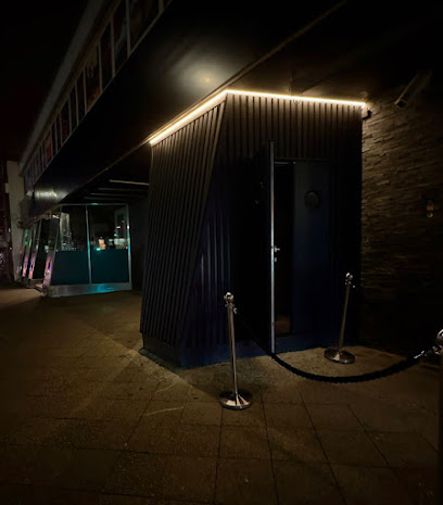
THE DOOR - BOUTIQUE CLUB
21.9 km
Discover Berlin's nightlife at The Door - Boutique Club, where style meets electric beats in a vibrant atmosphere.
Maxxim
22.0 km
Experience the pulse of Berlin at Maxxim, a premier night club offering unforgettable music, vibrant atmosphere, and late-night fun.


