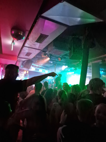
Discover the Geographical Heart of the Ruhr Area
Explore the Geographical Center of the Ruhr Area, a cultural landmark in Herne, and immerse yourself in the history and vibrancy of this industrial heartland.
The Geographical Center of the Ruhr Area is a must-visit for tourists seeking to understand the cultural and historical significance of this vibrant region in Germany. Located in Herne, this unique landmark symbolizes the heart of one of Europe's most historically rich industrial regions. Visitors can explore the surrounding area, which offers a blend of urban culture, parks, and historical insights, making it an enriching experience for anyone who loves to travel.
A brief summary to Geographischer Mittelpunkt des Ruhrgebietes
- Rolandstraße 49, Herne, 44651, DE
- +4923239190514
- Visit website
Local tips
- Visit during local events for a more vibrant atmosphere and unique experiences.
- Bring a camera; the surrounding parks provide great photo opportunities.
- Check local guides for historical tours that explain the significance of the area.
- Enjoy a picnic in the nearby parks to fully appreciate the area's natural beauty.
Getting There
-
Car
If you are traveling by car, start by navigating to the nearest major road. From Dortmund, take the A40 highway heading west towards Essen. Merge onto the A52 toward Gladbeck/Herne. Take the exit toward Herne-Crange and continue on the B225. Follow the signs for Herne until you reach Rolandstraße. The Geographischer Mittelpunkt des Ruhrgebietes is located at Rolandstraße 49, 44651 Herne. There is usually street parking available, but be mindful of any parking fees.
-
Public Transportation
If you prefer public transportation, you can take the S-Bahn (commuter train) to Herne. Use the S2 line from Dortmund or Bochum and get off at Herne station. From the station, you can catch bus line 311 towards 'Herne, Rolandstraße'. Get off at the stop 'Rolandstraße' which is a short walk from the Geographischer Mittelpunkt des Ruhrgebietes located at Rolandstraße 49. Be sure to check the latest bus schedules and ticket prices, as they may vary.
-
Walking
If you are already in Herne and prefer to walk, simply head towards Rolandstraße. From the city center, it is about a 15-20 minute walk. Head north on Bahnhofstraße, then turn right onto Rolandstraße. Continue straight until you reach the location at Rolandstraße 49. This is a great way to explore the area and enjoy local sights along the way.
Discover more about Geographischer Mittelpunkt des Ruhrgebietes
Iconic landmarks you can’t miss
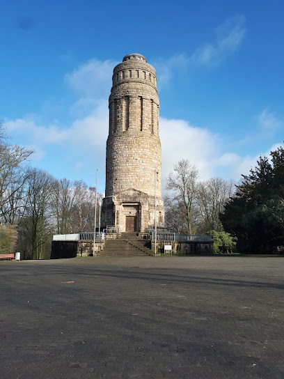
Bismarckturm
6.4 km
Discover the historical significance and stunning views of Bismarckturm, a must-visit landmark in Bochum's picturesque park setting.
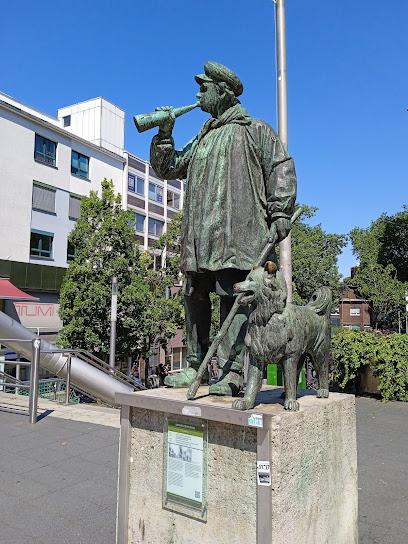
Kuhhirten-Denkmal
6.5 km
Discover Bochum's heritage at the Kuhhirten-Denkmal, a charming monument that embodies the city's transformation from a rural town to an industrial center, a nostalgic reminder of Bochum's roots.
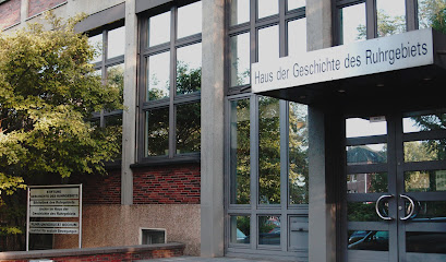
Haus der Geschichte des Ruhrgebiets
6.9 km
Explore the rich history of the Ruhrgebiet at the Haus der Geschichte des Ruhrgebiets, a captivating museum in Bochum showcasing the region's cultural evolution.
Ruhrgebiet-Stadtrundfahrten
9.0 km
Explore the industrial heritage and vibrant culture of the Ruhrgebiet with guided tours that bring history to life.
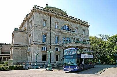
Gedenktafel "Straßennamen der Ruhrterrassen"
10.0 km
Discover the rich industrial heritage of Essen at the Gedenktafel Straßennamen der Ruhrterrassen, a captivating memorial honoring local history.
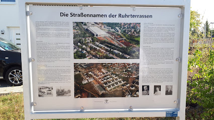
Elisen Park
10.4 km
Escape the city bustle in Essen's tranquil Elisen Park, a green oasis offering relaxation and recreation for locals and tourists alike.
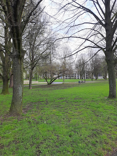
Kathirvelayuthaswamy Temple
10.7 km
Discover a vibrant Tamil Hindu temple in Essen, Germany, showcasing intricate South Indian architecture and offering a serene cultural experience for all visitors.
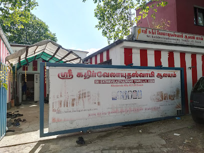
Diether Krebs Platz
10.8 km
Discover Diether Krebs Platz in Essen: A serene urban park honoring a local legend, offering a peaceful escape and a glimpse into the city's history.
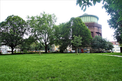
Hauswand Gemälde Engelbertstraße
11.0 km
Discover Essen's vibrant street art scene at Engelbertstraße, where building walls become canvases for stunning murals, reflecting local culture and artistic expression.
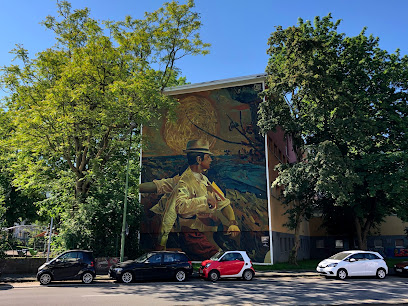
Graffiti Wächtlerstraße
11.0 km
Explore Essen's vibrant street art scene at Wächtlerstraße, a dynamic outdoor gallery showcasing diverse graffiti styles and reflecting the city's unique urban culture.
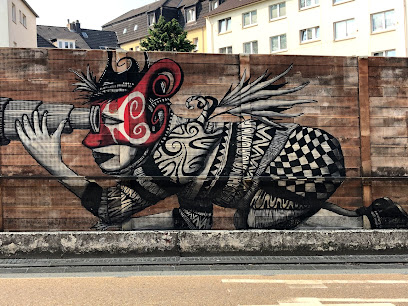
Brunnen auf dem Viehofer Platz
11.1 km
Experience the refreshing tranquility of the Viehofer Platz Fountain in Essen, a modern landmark offering a peaceful escape in the heart of the city's vibrant center.
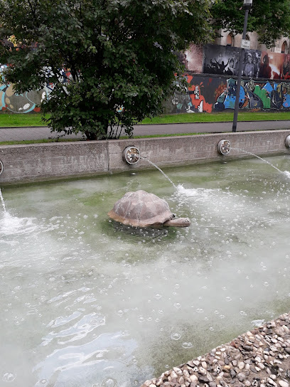
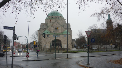
Altkatholische Friedenskirche
11.2 km
Discover Essen's Altkatholische Friedenskirche: A stunning Art Nouveau church with a rich history, offering a serene escape and a glimpse into Germany's Old Catholic heritage.
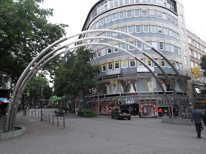
Brunnen Fontänengasse
11.3 km
Discover Essen's enchanting Brunnen Fontänengasse: a unique blend of art, light, and water connecting Flachsmarkt and Viehofer Straße in the heart of the city.
Gartenkunst Louis de Roy
11.3 km
Experience the serene beauty and artistic landscaping at Gartenkunst Louis de Roy, a tranquil garden oasis in the heart of Essen, perfect for nature lovers.
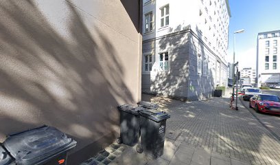
The ceramic house
11.3 km
Discover Essen's architectural gem: The Ceramic House, a vibrant landmark showcasing intricate ceramic artistry and the city's innovative spirit, a must-see cultural icon.
Unmissable attractions to see
Urbane Künste Ruhr
3.7 km
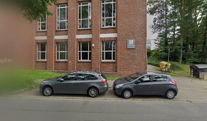
Discover Urbane Künste Ruhr, a vibrant cultural center in Gelsenkirchen showcasing innovative art and performances that redefine urban life.
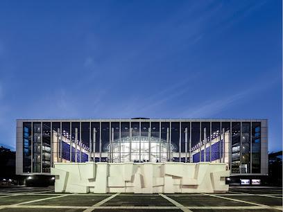
Musiktheater im Revier Gelsenkirchen
3.8 km
Discover the vibrant cultural scene at Musiktheater im Revier Gelsenkirchen, a premier destination for exceptional live performances and artistic expression.
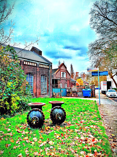
Stockpile Rheinelbe (North)
4.1 km
Discover the stunning landscapes and rich industrial heritage at Stockpile Rheinelbe, a must-visit hiking destination in Gelsenkirchen.
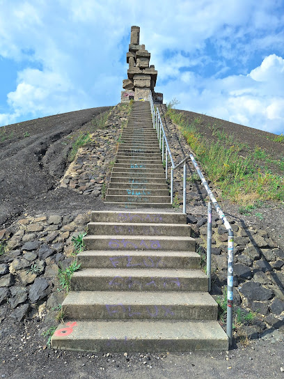
Himmelstreppe
4.1 km
Discover the breathtaking views and invigorating trails at Himmelstreppe, a must-visit tourist attraction in Gelsenkirchen, Germany.
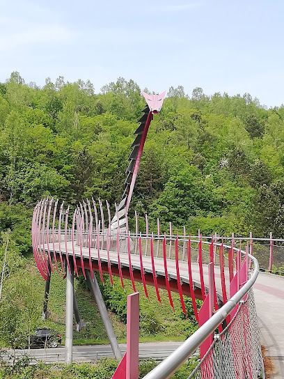
Halde Hoheward
5.9 km
Discover Halde Hoheward, a stunning hiking area in Herten, Germany, featuring breathtaking views and unique geological formations for outdoor enthusiasts.
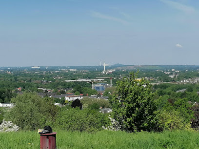
Tippelsberg
5.9 km
Experience the breathtaking views and serene hiking trails at Tippelsberg, Bochum's natural gem in the heart of Germany.
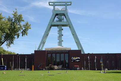
German Mining Museum
5.9 km
Discover the rich history of mining at the German Mining Museum in Bochum, featuring extensive exhibits and an immersive underground tour.
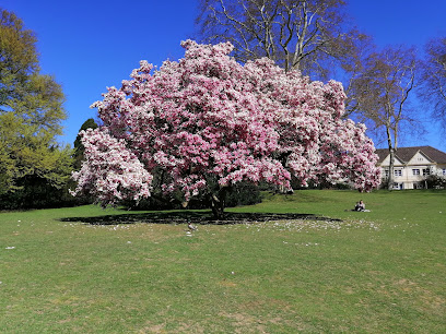
Bochum Park
6.3 km
Explore Bochum Park, an enchanting urban retreat filled with lush greenery, vibrant blooms, and tranquil pathways for a peaceful escape in Bochum.
Phänomania Erfahrungsfeld
6.4 km
Discover hands-on science and interactive exhibits at Phänomania Erfahrungsfeld, the ultimate family-friendly attraction in Essen, Germany.
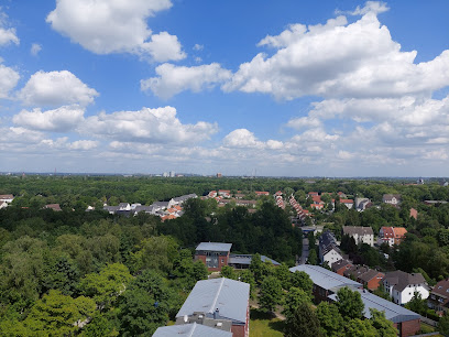
+ Fossilium Bochum Zoo
6.5 km
Explore the enchanting Fossilium Bochum Zoo, a premier animal park in Germany, showcasing diverse wildlife and immersive exhibits for all ages.

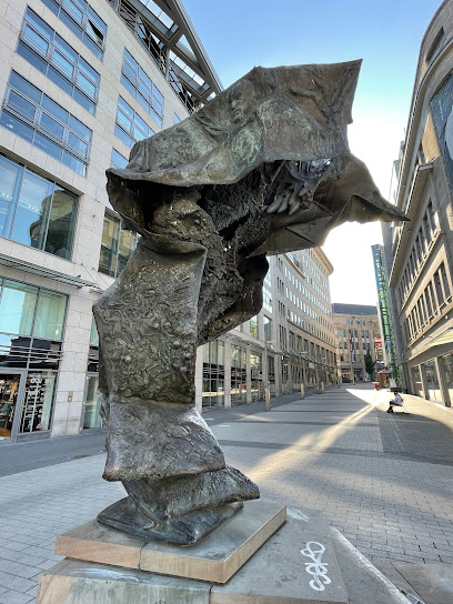
Moderne Kunst "Entfaltung der Stadt"
6.6 km
Explore the vibrant world of contemporary art at Moderne Kunst Entfaltung der Stadt, Bochum's premier destination for modern artistic expression.
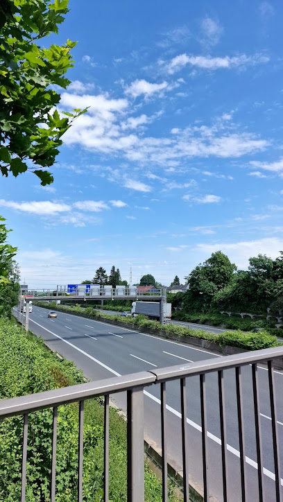
Autobahn Unterführung
6.6 km
Discover the vibrant street art at Autobahn Unterführung, a unique cultural hub in Essen, showcasing the city's artistic spirit.
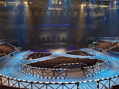
Starlight Express theatre
6.7 km
Discover the enchanting world of Starlight Express Theatre in Bochum, where roller-skating meets spectacular musical performances.
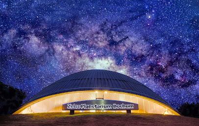
Planetarium Bochum
6.8 km
Discover the cosmos at Planetarium Bochum, where immersive shows and exhibitions unveil the beauty of the universe for all ages.
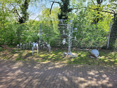
Kunstobjekte von Klaus Viehöfer
6.9 km
Explore the thought-provoking and innovative artworks of Klaus Viehöfer in Essen, a unique destination for art lovers and curious travelers.
Essential places to dine
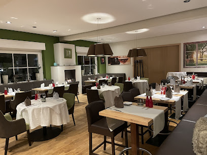
Cafe & Restaurant im Eickeler Park
1.9 km
Experience authentic German cuisine amidst the natural beauty of Eickeler Park at Cafe & Restaurant im Eickeler Park.
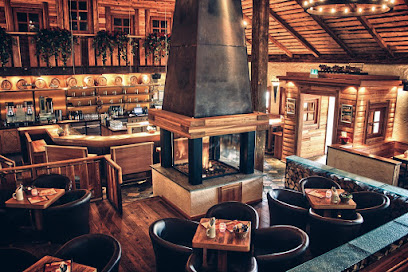
Bavaria Alm Herne
4.0 km
Discover authentic German cuisine at Bavaria Alm Herne - where tradition meets taste in every dish!
Ruhrkind
4.7 km
Experience authentic German grilling at Ruhrkind in Gelsenkirchen—where flavor meets hospitality in every bite.
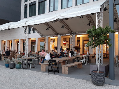
Paulaner Botschaft
6.2 km
Experience the heart of Bavarian cuisine at Paulaner Botschaft in Bochum, where tradition meets taste.
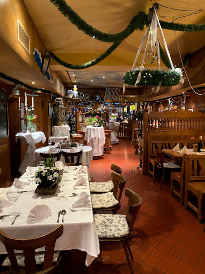
Brauhaus Rietkötter
6.4 km
Experience authentic German cuisine and craft brews at Brauhaus Rietkötter in Bochum - where tradition meets taste.
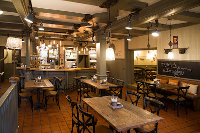
Restaurant Über Tage
6.5 km
Experience exceptional local cuisine at Restaurant Über Tage in Essen, where every dish tells a story of tradition and freshness.
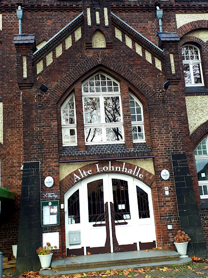
Restaurant Franz Ferdinand
6.5 km
Experience authentic Austrian cuisine at Restaurant Franz Ferdinand in Bochum's inviting atmosphere, perfect for food lovers and casual diners alike.
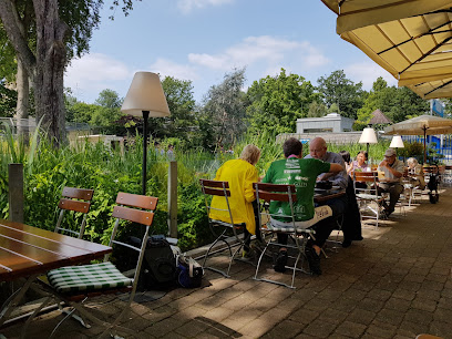
Livingroom
6.7 km
Discover Bochum's culinary gem at Livingroom - where exquisite dining meets vibrant nightlife.
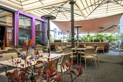
Trattoria Momo
6.9 km
Experience authentic Italian dining at Trattoria Momo in Bochum - where every meal is a celebration of flavor and tradition.
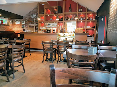
Restaurant Hannappel
9.3 km
Experience exceptional French fine dining at Restaurant Hannappel in Essen - where culinary artistry meets elegance.
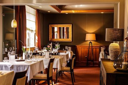
Restaurant Leander im GOP Varieté-Theater Essen
11.1 km
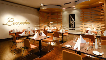
Discover culinary excellence at Restaurant Leander in Essen's GOP Varieté-Theater—where fine dining meets cultural entertainment.
Tandori Haus
11.2 km
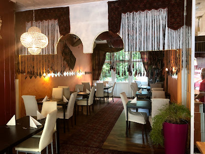
Experience the vibrant flavors of India at Tandori Haus - an affordable gem in Essen specializing in authentic Indian and vegetarian cuisine.
Capobianco
11.3 km
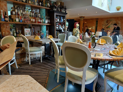
Discover authentic Italian cuisine at Capobianco in Essen - where every meal is a delightful journey through Italy's culinary traditions.
DER LÖWE Becker Gastro GmbH
11.4 km
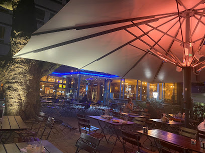
Discover authentic Bavarian flavors at DER LÖWE in Essen's lively beer garden – where tradition meets taste!
Frittenwerk Essen
11.4 km
Discover Frittenwerk Essen – where gourmet meets fast food with delicious fries and diverse toppings for every palate.
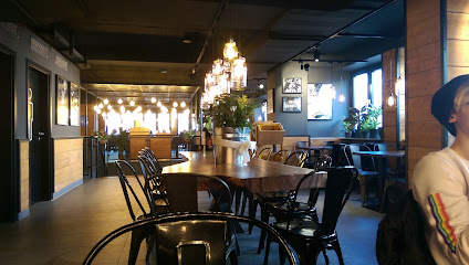
Markets, malls and hidden boutiques
A-One Fashion GmbH
2.2 km
Explore the latest trends and timeless styles at A-One Fashion GmbH, your go-to clothing store in Herne, Germany.

Fs Fashion
2.6 km
Discover unique fashion treasures at Fs Fashion in Herne, your go-to boutique for trendy dresses, vintage finds, and stylish lingerie.

Action Herne-Holsterhausen
3.4 km
Discover a world of creativity and unique gifts at Action Herne-Holsterhausen, where every visit is an adventure in shopping.
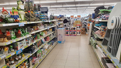
Hannibal Center
3.5 km
Discover the lively Hannibal Center in Bochum, a shopping mall filled with diverse shops, eateries, and entertainment for an unforgettable experience.
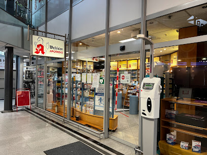
kunstpark GmbH
4.3 km
Discover a world of creativity at kunstpark GmbH, Herne's premier destination for art supplies, workshops, and artistic inspiration.
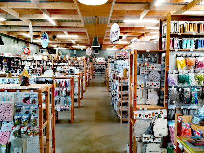
Neue Höfe Herne
5.9 km
Discover the ultimate shopping experience at Neue Höfe Herne, a contemporary department store with an extensive selection for every taste.

Depot
5.9 km
Explore Depot in Herne for a unique shopping experience filled with charming gifts and stylish home decor that captures the essence of German craftsmanship.

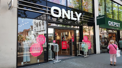
ONLY
5.9 km
Explore ONLY in Herne for the latest in women's fashion, combining style, quality, and affordability in one chic destination.
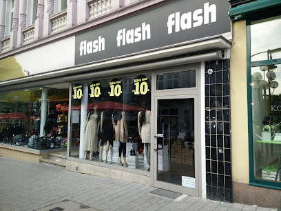
flash
5.9 km
Explore Flash, Herne's top women's clothing store, featuring trendy apparel and accessories perfect for every occasion.
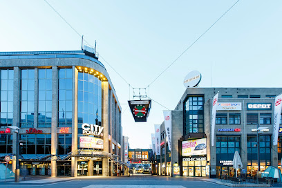
Drehscheibe Bochum
6.4 km
Discover the vibrant shopping scene at Drehscheibe Bochum, where fashion meets fun in a stylish mall setting.
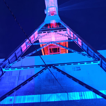
ruhrGEbiet by Form und Art
6.4 km
Explore unique souvenirs and local craftsmanship at ruhrGEbiet by Form und Art, the heart of Gelsenkirchen's artisanal culture.
RUHRINDUSTRIES
6.7 km
Explore unique fashion in Bochum at RuhrIndustries, where local style meets contemporary trends for an unforgettable shopping experience.
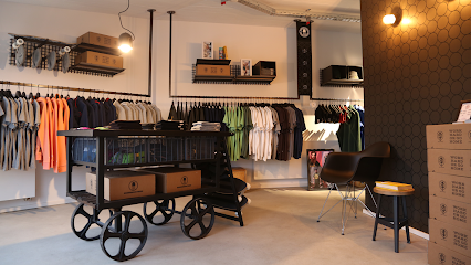
Red Dot Store
7.7 km
Explore the Red Dot Store in Essen for innovative gifts and design treasures within the historic Zollverein UNESCO World Heritage Site.
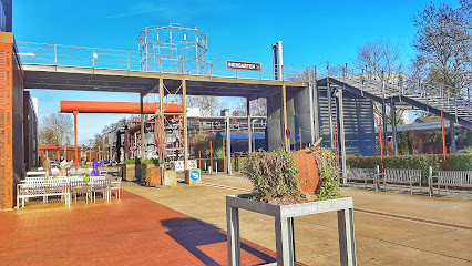
Baltz im Ruhr Park
9.6 km
Discover the latest fashion trends at Baltz im Ruhr Park, Bochum's premier clothing store for men and women, offering stylish apparel and accessories.
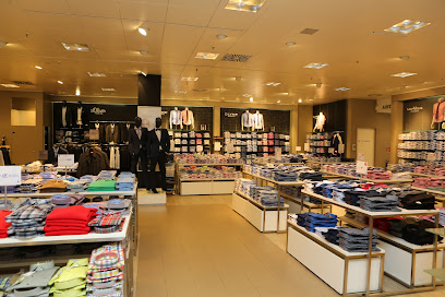
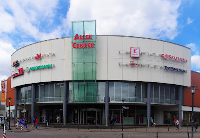
Allee-Center Essen-Altenessen
9.8 km
Explore Allee-Center Essen, a vibrant shopping mall offering diverse stores and delightful dining options in the heart of Essen.
Essential bars & hidden hideouts
Prestige Cocktailbar
2.4 km
Discover the vibrant nightlife of Herne at Prestige Cocktailbar, an elegant venue offering creative cocktails and a lively atmosphere.
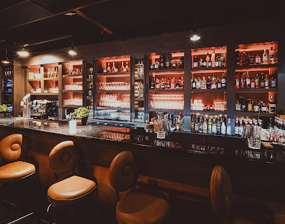
Schacht6 - Herne
2.8 km
Experience the warm ambiance and local brews at Schacht6, a charming pub in Herne where every visit feels like home.
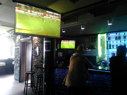
Haus Fey
5.5 km
Experience the heart of Bochum at Haus Fey, where locals gather for delightful drinks and authentic atmosphere.
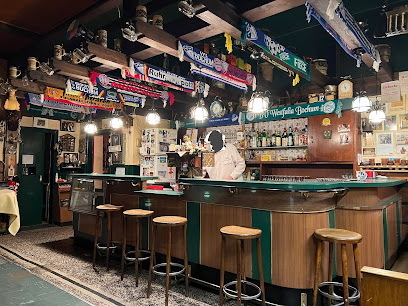
OA
5.9 km
Experience the finest selection of wines at OA, Bochum's premier wine bar, where every glass is a journey through taste and tradition.
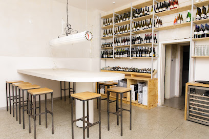
Trinkhalle - Bochum
5.9 km
Discover Bochum's Trinkhalle, a vibrant bar that offers a unique atmosphere and a diverse drink selection perfect for socializing and enjoying local nightlife.
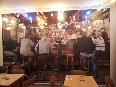
Warsteiner Stuben - Herne
5.9 km
Discover Warsteiner Stuben in Herne: A cozy pub offering traditional German cuisine and an inviting atmosphere for a memorable dining experience.
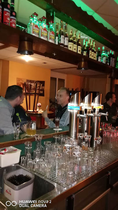
Prostbar
6.3 km
Discover Prostbar in Herne, a lively bar where good drinks and great company come together for an unforgettable night.
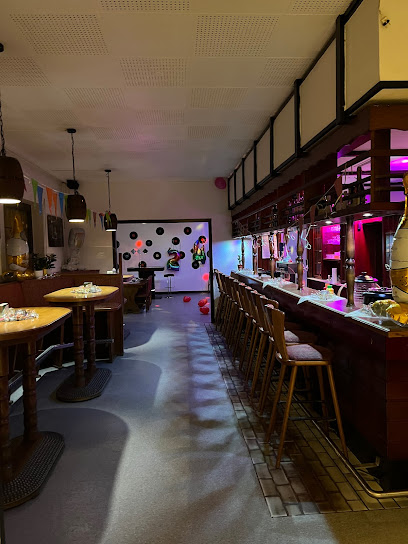
Hopfenklause
6.4 km
Experience the authentic German pub culture at Hopfenklause in Bochum, featuring local beers and a cozy atmosphere for all visitors.
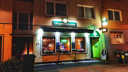
Pinte
6.7 km
Discover the lively atmosphere of Pinte in Bochum, where good drinks and great company await in a cozy pub setting.
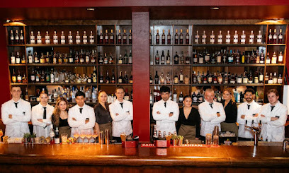
Pearlz by Serkar Barzani
6.7 km
Discover the vibrant cocktail culture at Pearlz by Serkar Barzani, Bochum's top destination for expertly crafted drinks and a lively atmosphere.
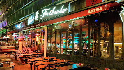
Freibeuter
6.7 km
Discover the vibrant nightlife at Freibeuter, a popular pub in Bochum, offering a unique selection of local beverages and a lively atmosphere.
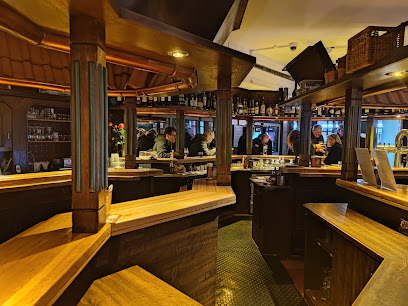
Hopfendolde - Bochum
6.8 km
Experience Bochum's culinary charm at Hopfendolde, a gastropub blending tradition with modern flavors in a vibrant setting.
Goldkante
6.9 km
Discover Bochum's vibrant nightlife at Goldkante, a cultural bar offering local drinks, art events, and a friendly atmosphere for tourists and locals alike.
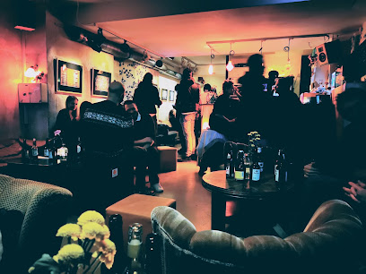
GAME food & fun / Clubhaus
8.4 km
Experience Bochum's lively nightlife with exquisite cocktails and delicious dining at GAME food & fun / Clubhaus, the ultimate culinary hotspot.
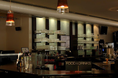
Freak Show Essen
9.3 km
Discover the whimsical charm of Freak Show Essen, a unique bar offering creative cocktails and an eccentric atmosphere in the heart of Essen.
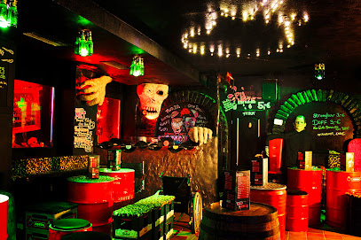
Nightclubs & after hour spots
Prater
3.2 km
Discover the electrifying atmosphere of Prater, Bochum's renowned disco club, where unforgettable nights of dancing and fun await you.
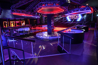
Alia Club - Bochum
5.8 km
Discover Bochum's nightlife at Alia Club, a vibrant night club offering diverse music and a lively atmosphere for unforgettable evenings.
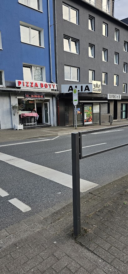
Untergrund Club - Bochum
6.3 km
Experience the vibrant nightlife at Untergrund Club in Bochum, a premier disco club with energetic music and an unforgettable atmosphere.
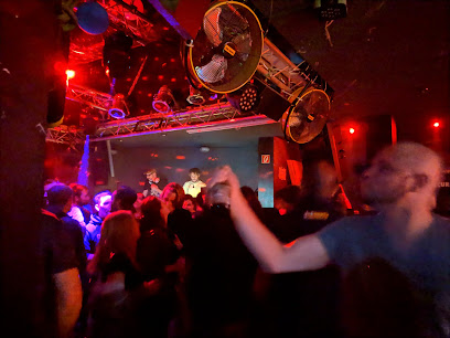
Three Monkeyz - Bochum
6.7 km
Discover Bochum's nightlife at Three Monkeyz, a dynamic night club offering a vibrant atmosphere, great music, and memorable experiences.
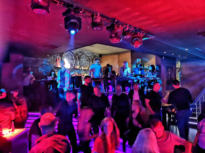
Schumacher Club - Bochum
6.8 km
Discover the electric atmosphere of Schumacher Club in Bochum, where unforgettable nights of music, dancing, and excitement await every visitor.
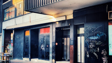
Zeche Bochum
9.0 km
Experience Bochum's nightlife at Zeche Bochum, where music, dance, and culture come together in a historic venue.
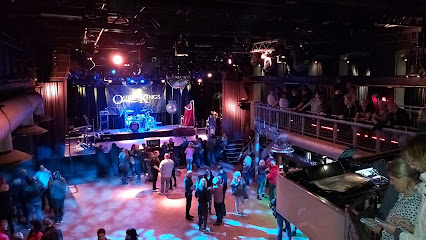
turock
11.0 km
Discover the energetic nightlife at Turock Disco Club in Essen, where vibrant music and an electrifying atmosphere await every party enthusiast.
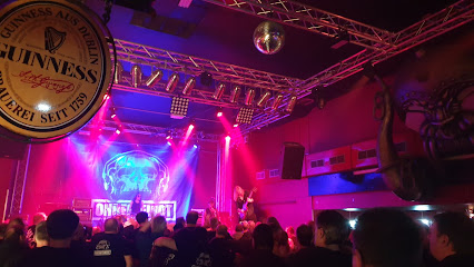
Essence
11.1 km
Discover the essence of nightlife in Essen at the vibrant Essence Night Club, where great music and a lively atmosphere await.
electronic music club Hotel Shanghai K. e.
11.2 km
Discover the electrifying nightlife at Hotel Shanghai K. e., Essen's ultimate disco club featuring top DJs and exquisite cocktails.
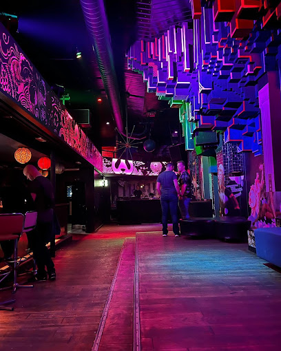
809 Club - Essen
11.4 km
Unleash your energy at Essen's 809 Club, where electrifying beats and a vibrant atmosphere create unforgettable nightlife experiences.

Teatro Club Essen
11.5 km
Dive into the nightlife at Teatro Club Essen, where electrifying music and vibrant dance floors create unforgettable party experiences.

Musikpalette - MUPA
11.6 km
Discover the electrifying nightlife at Musikpalette - MUPA, Essen's premier disco club, where music and dance create unforgettable experiences.

PM93 Essen
11.7 km
Discover the vibrant nightlife of Essen at PM93, where unforgettable experiences and electrifying music await every Saturday night.

Westend Club - Essen
12.6 km
Dive into the vibrant nightlife of Essen at Westend Club, where music, dancing, and an electrifying atmosphere await you.

Lucy
13.1 km
Dive into the vibrant atmosphere of Lucy Disco Club in Essen, where electrifying beats and a stylish ambiance create unforgettable nightlife experiences.
