
Discover the Geodetic Center of Ghana: A Hub of Precision and History
Explore the Geodetic Center of Ghana - a unique tourist attraction blending science, history, and stunning surroundings in Kumfia.
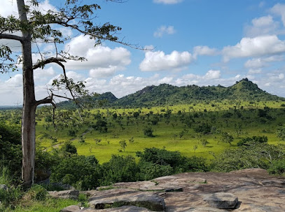
The Geodetic Center of Ghana is a must-visit for tourists eager to explore a unique blend of science and history. Located in Kumfia, this tourist attraction serves as a pivotal point for geodetic measurements, representing Ghana's commitment to scientific advancement. Here, visitors can appreciate the significance of geographic coordination and enjoy the serene surroundings that offer a glimpse into the country’s scientific heritage.
A brief summary to Geodetic Center of Ghana
- RRG5+FJ, Kumfia, GH
Local tips
- Plan your visit during daylight hours to fully appreciate the surroundings.
- Consider bringing a camera to capture the serene beauty of the area.
- Engage with local guides if available for a richer understanding of the site's significance.
- Dress comfortably, as some areas may require walking on uneven terrain.
- Check for any scheduled events or educational tours that might enhance your visit.
Getting There
-
Car
If you are driving, start from Tamale, the capital of the Northern Region. Head east on the Tamale-Bolgatanga Road (N10) for approximately 45 kilometers. Look for signs directing you towards Kumfia. Once you reach Kumfia, navigate to the coordinates 7.826212 latitude and -1.190985 longitude. You can use a GPS device or a mobile map application to help you reach the Geodetic Center located at RRG5+FJ. Be prepared for possible tolls on the highway, which may cost around 5-10 GHS.
-
Public Transportation
To travel by public transport, head to the Tamale bus station and look for a bus or shared taxi heading towards Bolgatanga. Inform the driver you want to stop at Kumfia. The journey will take approximately 1.5 to 2 hours, depending on traffic. Once you arrive in Kumfia, you may need to hire a local taxi to take you the last few kilometers to the Geodetic Center. This taxi ride should cost around 10-15 GHS.
-
Local Taxi
If you are already in Kumfia, the easiest way to reach the Geodetic Center is to hire a local taxi. Simply flag down a taxi in town and inform the driver that you want to go to the Geodetic Center at coordinates 7.826212, -1.190985. The fare for this short ride is typically around 5-10 GHS, depending on your starting point within Kumfia.
Discover more about Geodetic Center of Ghana
Iconic landmarks you can’t miss
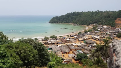
Afro Nyanka Tours
19.7 km
Discover the beauty and culture of Ghana with Afro Nyanka Tours, your guide to unforgettable travel experiences in West Africa.
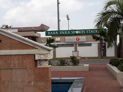
Baba Yara Sports Stadium
19.7 km
Discover the vibrant sports culture of Kumasi at Baba Yara Sports Stadium, where thrilling matches and local passion come to life.
ThewesttribeheritageGHANA
19.7 km
Experience the vibrant culture and rich heritage of Ghana at ThewesttribeheritageGHANA, where tradition and artistry come alive.

Bowling Alley
22.8 km
Experience fun and excitement at Trohwe Bowling Alley, the perfect destination for bowling enthusiasts and casual players alike.
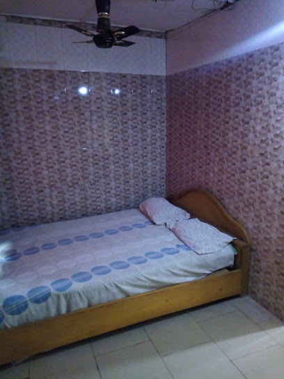
Jaaffo Hotel
23.4 km
Jaaffo Hotel: Your cozy escape in Atebubu, blending comfort, culture, and local charm for an unforgettable stay.
BANTAMA- BONO EAST REGION, GHANA
50.0 km
Discover the enchanting Bantama in Ghana's Bono East Region, a tranquil haven of culture and nature awaiting your exploration.
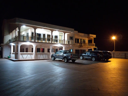
Bono region
55.3 km
Explore the vibrant culture, stunning landscapes, and culinary delights of the Bono region in Ghana, a hidden gem waiting to be discovered.

Falls Rest Stop Restaurant
63.2 km
Discover authentic Ghanaian flavors at Falls Rest Stop Restaurant in Kintampo – a perfect stop for travelers craving local dishes and a welcoming atmosphere.
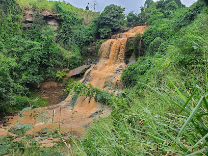
Falls Palace Hotel
63.3 km
Discover comfort and natural beauty at Falls Palace Hotel, your perfect retreat near Kintampo Waterfalls in Ghana.
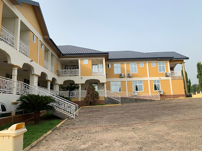
Yakam Hotel
63.5 km
Discover comfort and culture at Yakam Hotel in Kintampo, Ghana, your ideal base for exploring the beauty and heritage of the region.

Kyeremankoma
63.9 km
Discover the authentic essence of Kintampo at Kyeremankoma, a unique housing complex that showcases local culture and warm community spirit.

Falls Executive Lodge-kintampo
64.0 km
Experience comfort and local charm at Falls Executive Lodge in Kintampo, your gateway to exploring Ghana's stunning landscapes and vibrant culture.

Royal Diamond Hotel
64.4 km
Discover comfort and authentic Ghanaian hospitality at the Royal Diamond Hotel in Kintampo, your ideal base for exploration and relaxation.
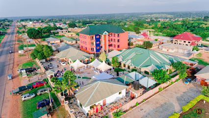
Nkoranza New Market
64.5 km
Discover the vibrant culture and authentic flavors at Nkoranza New Market, a bustling hub of local commerce and community in Ghana.

Bono East
64.7 km
Explore Bono East in Kintampo, Ghana, a key supplier of crushed stone, where industry meets local culture and craftsmanship.

Unmissable attractions to see
Shai Hills Resource Reserve
19.7 km
Discover the rich wildlife and breathtaking landscapes of Shai Hills Resource Reserve, a must-visit nature haven in Ghana.
Mabbina Park
19.7 km
Explore Mabbina Park, a lush recreational haven perfect for picnics, sports, and serene walks in nature's embrace.

Boti falls
22.8 km
Experience the breathtaking beauty of Boti Falls, a stunning natural wonder in Ghana, perfect for relaxation and adventure amidst lush landscapes.

Akyem Swedru Meeting Park
22.8 km
Discover the tranquil charm of Akyem Swedru Meeting Park, a community haven in Ghana perfect for relaxation, picnics, and cultural experiences.

Ганаа байв
22.8 km
Experience the lush beauty and tranquility of Ganaa Bayiv, Trohwe's enchanting garden paradise, perfect for relaxation and nature exploration.

Paradise beach Tema
22.8 km
Explore the beauty of Paradise Beach in Tema, a serene escape with golden sands, crystal-clear waters, and rich Ghanaian culture.

Kikam
22.8 km
Experience the breathtaking beauty and rich culture of Kikam, a hidden gem in Trohwe, Ghana, perfect for nature lovers and cultural enthusiasts alike.

Mount Afadjato
22.8 km
Discover the breathtaking beauty and adventure at Mount Afadjato, Ghana's highest peak, where nature and culture harmoniously blend.

Wildlife Division, Digya National Park
24.1 km
Discover the enchanting wildlife and breathtaking landscapes of Digya National Park, a hidden gem in Ghana for nature enthusiasts and adventurers.

Kunso WaterFalls & Caves Site
49.3 km
Explore the breathtaking beauty of Kunso Waterfalls & Caves in Kintampo, Ghana—an unforgettable natural escape for adventurers and nature lovers alike.
Kyerehi Waterfall
51.2 km
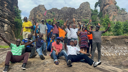
Explore the stunning Kyerehi Waterfall in Dumso, a natural wonder surrounded by lush landscapes perfect for adventure and relaxation in Ghana.
Akuropong Waterfalls 1
54.6 km
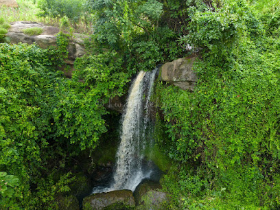
Experience the breathtaking beauty and tranquility of Akuropong Waterfalls in Aiyerade, Ghana, a perfect escape into nature's embrace.
Boabeng Fiema Monkey sanctuary - Information center
57.0 km
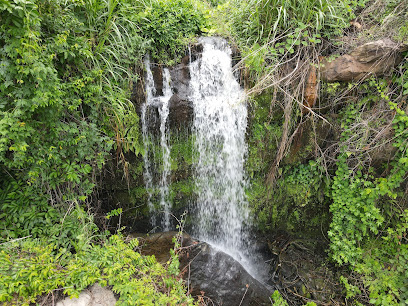
Explore the Boabeng Fiema Monkey Sanctuary, a haven for wildlife enthusiasts in Ghana, where playful monkeys thrive in a natural habitat.
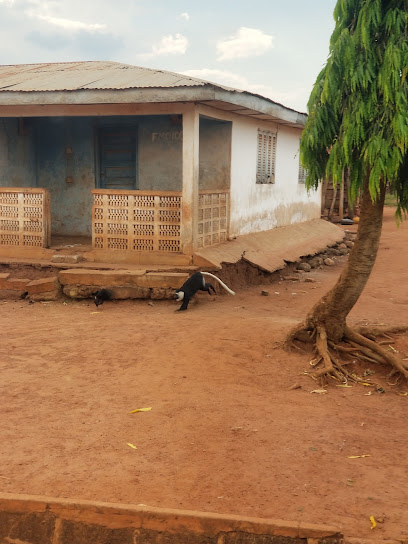
Boabeng Fiema Monkey Sanctuary
57.0 km
Experience the captivating Boabeng Fiema Monkey Sanctuary, where you can connect with nature and witness endangered primates in their natural habitat.
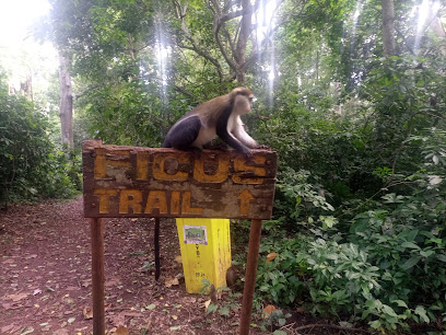
Kogyae Strict National Reserve
57.8 km
Explore Kogyae Strict National Reserve, a majestic national park in Ghana, rich in biodiversity, stunning landscapes, and serene wildlife experiences.
Essential places to dine
HOUSE OF HOPE
14.8 km
Experience joy and connection at House of Hope - Abease's premier family-friendly destination offering delicious food and engaging activities.
Couple's Magic
19.2 km
Discover the enchanting flavors at Couple's Magic in Accra – where romance meets culinary excellence.
Yajobea catering services
22.6 km
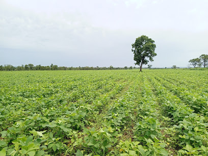
Experience authentic Ghanaian cuisine at Yajobea Catering Services in Trohwe - where every dish tells a story.

John does it(CHOPSTICKS RESTAURANT 🥢)
22.8 km
Experience authentic Chinese flavors at John Does It (Chopsticks Restaurant) in Ghana - a true culinary delight!

morocco food ghana
22.8 km
Savor the essence of Ghana at Morocco Food - where fresh seafood meets traditional donburi delights in Trohwe.

Mouhamed Bouboucar arzeka maïga
22.8 km
Experience authentic Ghanaian cuisine at Mouhamed Bouboucar Arzeka Maïga in Trohwe - a culinary journey filled with vibrant flavors and local charm.

There Are Too Many People In The World
22.8 km
Discover authentic Ghanaian cuisine at Trohwe's unique restaurant offering warm hospitality and flavorful dishes that celebrate local culture.

Agya farms
22.9 km
Discover Agya Farms in Trohwe - A delightful breakfast spot serving authentic Ghanaian cuisine with fresh ingredients.
Club House And Restaurant
23.8 km
Experience authentic Ghanaian cuisine at Club House And Restaurant in Atebubu—where every meal is a taste of local culture and tradition.

Maspeelous Restaurant
23.9 km
Experience authentic Ghanaian cuisine at Maspeelous Restaurant in Atebubu – where flavor meets warm hospitality.

Bahamas Restaurant
24.4 km
Discover delicious Bahamian cuisine in a family-friendly setting at Bahamas Restaurant in Atebubu.
MAA YAA SPECIAL FOOD
31.7 km
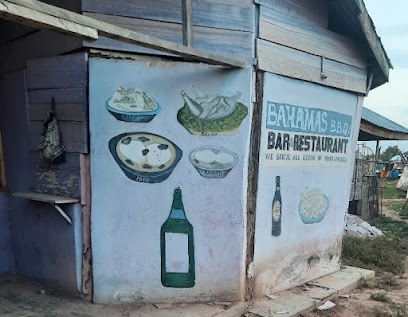
Experience authentic American cuisine at MAA YAA SPECIAL FOOD in Amantin—where flavor meets local hospitality.

Queen BM
53.8 km
Experience authentic Ghanaian cuisine at Queen BM in Ejura - where delicious flavors meet warm hospitality.
Reis Day By Day Rest Stop
63.4 km
Discover culinary delights at Reis Day By Day Rest Stop in Kintampo – where every traveler finds their taste.
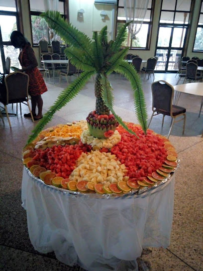
PAK CATFISH GRILL
63.4 km
Experience authentic Ghanaian cuisine at Pak Catfish Grill in Kintampo – where every dish tells a story.

Markets, malls and hidden boutiques
Button Up Thrift Shop Gh
3.8 km
Unearth unique treasures at Button Up Thrift Shop Gh, a vibrant thrift store offering eclectic finds and sustainable shopping in the heart of Ghana.

WIS G HAIRCUT
19.7 km
Experience top-notch grooming at WIS G HAIRCUT, where style meets comfort in a friendly atmosphere, perfect for tourists seeking a fresh look.

Jessy closet
19.7 km
Explore Jessy Closet for an incredible selection of fabrics and textiles that celebrate local craftsmanship and vibrant culture.

Stadia's Collection Awudome branch
19.7 km
Explore diverse fashion styles at Stadia's Collection Awudome branch, where unique pieces meet local culture in an inviting shopping atmosphere.

Nlabeche boutique
19.7 km
Explore Nlabeche Boutique for unique fashion and accessories that capture the essence of local craftsmanship and contemporary design.

Cathy's Boutique
19.7 km
Explore unique fashion and accessories at Cathy's Boutique, where style meets individuality in a charming atmosphere for every fashion lover.

Queenly by Pinupqueens
19.7 km
Explore Queenly by Pinupqueens, a premier fashion accessories store, where style meets elegance for the discerning traveler.

The Hamper Market
19.7 km
Discover unique artisanal gifts and local treasures at The Hamper Market, a must-visit destination for tourists seeking authentic souvenirs.

LELEE KIDDY MART (DIAPER_HOME)
19.7 km
Discover Lelee Kiddy Mart, the ultimate destination for children's essentials, from diapers to educational toys, perfect for families exploring the area.

Polo Club
19.7 km
Discover elegant fashion and local craftsmanship at The Polo Club, a premier destination for stylish clothing and exceptional service.

Elikeys online shopping
19.7 km
Explore Elikeys Online Shopping for an unforgettable clothing wholesale experience, offering stylish apparel and unique finds that celebrate local fashion.

THE SHOP
19.7 km
Explore a world of wellness at The Shop, your ultimate destination for health and beauty products and services during your travels.

Dl Homeda Ventures
22.8 km
Discover the authentic local culture at Dl Homeda Ventures, a charming general store in Ofaakor, where unique Ghanaian products come to life.

Tamale
22.8 km
Discover the vibrant culture and rich traditions of Tamale, Northern Ghana's bustling capital, where authentic experiences await every traveler.

Madina Estate
22.8 km
Discover the vibrant fashion of Ghana at Madina Estate, where traditional meets contemporary in Trohwe's unique clothing store.

Essential bars & hidden hideouts
Charsan View
17.2 km
Discover the vibrant atmosphere and local flavors at Charsan View, a must-visit bar for tourists seeking relaxation and socialization.

Best Bars in Africa
19.7 km
Experience the best of Africa's nightlife at its top bars, where vibrant atmospheres and local flavors come together for unforgettable evenings.
Blondies
22.8 km
Experience authentic Ghanaian cuisine at Blondies in Golf City, where vibrant flavors and a welcoming atmosphere await you.

Elubo
22.8 km
Experience the lively atmosphere of Elubo Bar in Trohwe, where local drinks and culture come together for an unforgettable night out.

Prestea-sankofa
22.8 km
Experience the heart of Ghanaian nightlife at Prestea-Sankofa, a vibrant bar in Trohwe offering local drinks and a welcoming atmosphere.

Kosby Pub
22.8 km
Discover the lively Kosby Pub in Trohwe, a perfect blend of local flavors, vibrant atmosphere, and great company, ideal for a night out.

Villa Mingo Bar and Restaurant/ children Park
22.8 km
Experience the delightful combination of delicious food, refreshing drinks, and a fun children's park at Villa Mingo Bar and Restaurant in Ghana.

Baghwan resort
22.8 km
Explore Baghwan Resort in Trohwe, Ghana - a culinary gem offering a blend of local and international flavors in a tranquil setting.

Last Hour food joint
22.8 km
Experience authentic local cuisine at Last Hour Food Joint in Trohwe, where flavor meets culture in a welcoming atmosphere.

Milan rooftop
22.8 km
Experience breathtaking views and a vibrant atmosphere at Milan Rooftop, the ultimate bar destination in Trohwe, Ghana.

Domah
22.8 km
Discover the lively ambiance and local flavors at Domah, a must-visit bar in Trohwe, Ghana, perfect for unwinding and connecting.

Nana odo mmra restaurant
22.8 km
Experience the vibrant flavors of Ghana at Nana odo mmra Restaurant, a local favorite in Trohwe known for its delicious cuisine and welcoming atmosphere.
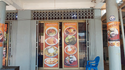
Richard Palace
22.8 km
Experience the lively nightlife and cultural essence of Trohwe at Richard Palace, the ultimate bar for socializing and relaxation.

Nyoli
22.8 km
Discover Nyoli, a cozy bar in Trohwe, Ghana, where local drinks and friendly conversations create unforgettable memories.

Tarkwa
22.8 km
Experience the vibrant nightlife of Tarkwa, where local culture meets energetic bars and unforgettable moments await every visitor.


