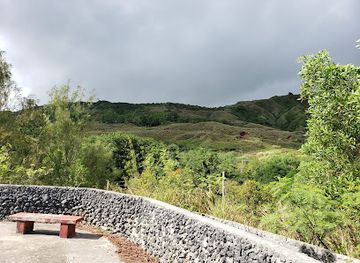
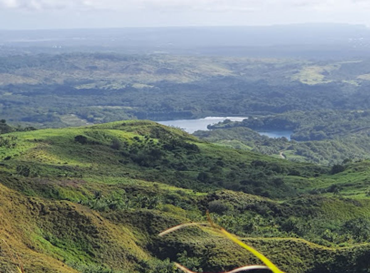
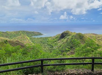
Background

Mount Lamlam: Guam's Highest Peak

4.6 (26)

Hike Guam's highest peak for panoramic views and a connection to the island's natural beauty and Chamorro heritage.

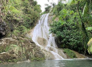
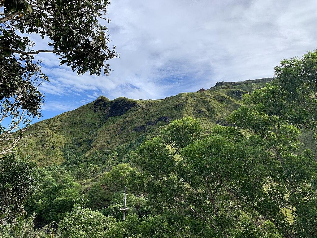
Hike to the summit of Mount Lamlam, the highest point on Guam, for panoramic views of the island and the Pacific Ocean. This 2.7-mile trail offers a challenging yet rewarding experience, steeped in both natural beauty and Chamorro cultural history.

A brief summary to Mount Lamlam Trail Head

  • 8MG8+9M2, Humåtak, GU
  • Monday 12 am-12 am
  • Tuesday 12 am-12 am
  • Wednesday 12 am-12 am
  • Thursday 12 am-12 am
  • Friday 12 am-12 am
  • Saturday 12 am-12 am
  • Sunday 12 am-12 am

Local tips

  • Wear sturdy hiking shoes with good traction due to slippery and rocky areas.
  • Bring plenty of water, especially on hot days.
  • Consider wearing long pants and sleeves to protect against sawgrass and thick brush.
  • Start your hike early in the morning to avoid the heat and humidity.
  • Follow the pink ribbons to stay on the trail, as it can be easy to lose the path in some areas.
widget icon

Do you manage this location?

Take control to get all the benefits, like improved information, better appearance, and stronger visibility across AI-powered discovery. Learn more

Activate your presence

Unlock the Best of Mount Lamlam Trail Head

Buy tickets

    No tickets available

Book tours with entry

    No tours available

Book tours without entry

    No tours available

Getting There

  • Driving

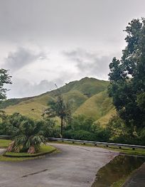
    From Mount Jumullong Manglo, take Route 4 South towards Humåtak. The trailhead is located off Route 2, across from the Cetti Bay Overlook. Park at the overlook and carefully cross the street to the trailhead. There is no parking fee.

  • Public Transportation

    Take the Guam Regional Transit Authority (GRTA) bus, Blue Line 2, towards Humåtak. Check the schedule for departure times, as service is limited. From the nearest bus stop in Humåtak, walk approximately 0.5 miles to the Mount Lamlam Trail Head. Be prepared for a short walk, as public transportation may not drop you directly at the trail head. A one-way bus fare is $1.00.

  • Rideshare

    Use a rideshare app such as Uber or Lyft to get a direct route to Mount Lamlam Trail Head. Input the destination as '8MG8+9M2, Humåtak, Guam'. Fares vary depending on your starting location.

Discover more about Mount Lamlam Trail Head

Mount Lamlam, meaning "lightning" in the Chamorro language, is more than just a hike; it's an experience that connects you to Guam's natural beauty and rich cultural heritage. While not the tallest mountain above sea level, its prominence from the Mariana Trench technically makes it the highest mountain on Earth.The 2.7-mile trail to the summit offers stunning 360° views of Guam's southern mountains and coastline. The path winds through diverse terrain, from dense jungle and breezy savannahs to rocky inclines. Along the way, you'll find a small grotto with a Virgin Mary shrine and, further up, a fork in the trail. The right path leads to Mount Jumullong Manglo, marked with large crosses. The left path will take you to Mount Lamlam's summit.The hike is considered moderately difficult, with some steep sections that can be slippery, especially after rain. Sturdy footwear is recommended. The trail is generally well-worn, but some sections can be overgrown, so long pants and sleeves are advisable.Mount Lamlam holds spiritual significance for the Chamorro people, who believe it's a sacred place connecting the physical and spiritual worlds. Each year, many locals participate in an Easter pilgrimage, carrying crosses to the summit.
Mobile App

Your all‑in‑one travel companion app

Explore expert travel guides, compare and book tours, experiences, hotels, and more—all from the palm of your hand. Download now for seamless trip planning wherever your wanderlust takes you.


Select Currency