
Discovering the Serenity of the Artibonite River
Experience the breathtaking beauty and vibrant culture along the Artibonite River, Haiti's longest river, perfect for adventure and relaxation.
The Artibonite River, a breathtaking natural wonder in Haiti, invites tourists to explore its tranquil waters, lush surroundings, and vibrant local culture. Ideal for outdoor enthusiasts, the river offers activities like kayaking, fishing, and hiking, making it a perfect spot for adventure seekers and nature lovers alike. Experience the beauty and tranquility that this picturesque river has to offer.
A brief summary to Artibonite River
- HT
Local tips
- Visit during early mornings or late afternoons for the best light and cooler temperatures for outdoor activities.
- Bring a camera to capture the stunning landscapes and local life along the river.
- Try local dishes from vendors along the river to enjoy a taste of authentic Haitian cuisine.
- Ensure you have adequate sun protection, including hats and sunscreen, especially if you plan to spend time outdoors.
- Engage with local guides for insights into the cultural significance and natural history of the river.
Getting There
-
Car
If you are traveling by car, start from the center of Artibonite. Head southwest on Route Nationale #1 (RN1) towards Saint-Marc. Continue for about 20 kilometers until you reach the intersection with Route Nationale #2 (RN2). Turn left onto RN2 and follow the signs for Artibonite River. After approximately 10 kilometers, you will see the river on your right. Look for parking spaces along the roadside.
-
Public Transportation
To reach Artibonite River using public transportation, locate the nearest 'tap-tap' station in Artibonite. Take a tap-tap headed towards Saint-Marc. Inform the driver that you want to get off at the RN2 intersection. The ride should take about 30-40 minutes, depending on traffic. Once you arrive at the intersection, walk approximately 1 kilometer toward the river, which will be visible from the road.
-
Walking
If you are already near the Artibonite River but need further directions, from any point along the RN2, walk towards the river. The river runs parallel to RN2, so you can easily follow the sound of flowing water or ask locals for directions. Make sure to wear comfortable shoes, as some areas may require you to navigate uneven terrain.
Discover more about Artibonite River
Iconic landmarks you can’t miss
Artibonite River
0.0 km
Experience the breathtaking beauty and vibrant culture along the Artibonite River, Haiti's longest river, perfect for adventure and relaxation.
Grand'anse
5.9 km
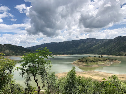
Experience authentic Haitian culture and community in Grand'anse, a charming housing development in Durocher, perfect for cultural immersion and exploration.
Petion-ville
5.9 km
Explore the vibrant culture and elegance of Petion-Ville, a charming suburb of Port-au-Prince known for its upscale hotels, art galleries, and exquisite cuisine.

Vallee de l'Artibonite
11.2 km
Explore the stunning Vallée de l'Artibonite, a hidden gem in Haiti with lush landscapes, rich culture, and vibrant wildlife perfect for nature lovers.
Habitation Dion
12.9 km
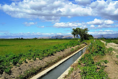
Experience the rich history and stunning beauty of Habitation Dion, a captivating monument in the heart of Fond Blanc, Haiti.
Fort Drouet
15.0 km
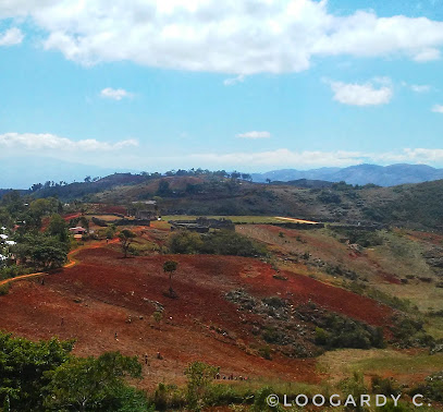
Discover the historical significance of Fort Drouet, an archaeological gem in Haiti that offers rich insights into the nation's past and stunning views.
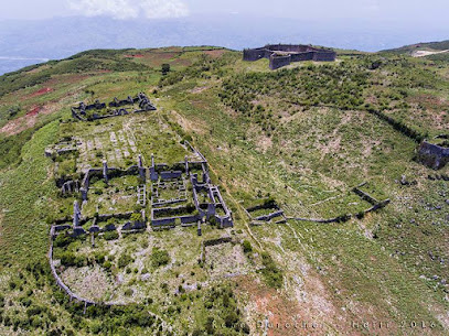
Le fort-anglais
20.4 km
Discover the historical significance and stunning views of Le Fort-Anglais in Mirebalais, a serene symbol of Haiti's rich cultural heritage.
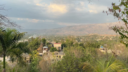
Artibonite Valley
22.9 km
Explore the picturesque Artibonite Valley, a lush ravine in Haiti known for its stunning landscapes, rich agriculture, and vibrant local culture.
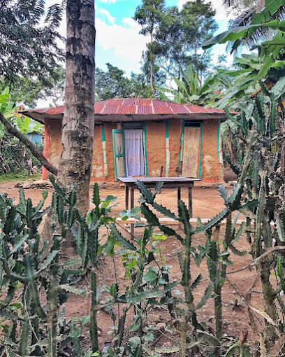
Marche seradòt
32.2 km
Explore the vibrant Marche Seradòt in Port-au-Prince, a market filled with local produce, crafts, and an authentic taste of Haitian culture.

Haïti
32.3 km
Explore the vibrant culture and rich heritage of Port-au-Prince from the inviting heart of Haïti, an emblem of local life and warmth.

Yacht Ibis Caribbean Adventure Sailing Vacations
32.8 km
Explore the enchanting Caribbean seas with Yacht Ibis—experience sailing adventures, boat tours, and the beauty of island hopping.
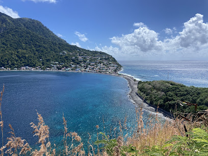
Adventure Tours St Lucia
32.8 km
Discover the beauty of St Lucia with Adventure Tours - thrilling activities, rich culture, and unforgettable experiences await you.

Lac Azuei
35.1 km
Explore the serene beauty of Lac Azuei in Thomazeau, a perfect getaway for nature lovers and adventure seekers in Haiti.
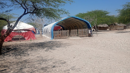
À Bon- Repos
35.8 km
Experience the charm of Haitian culture at À Bon-Repos, a serene indoor lodging in Port-au-Prince perfect for your travel adventure.
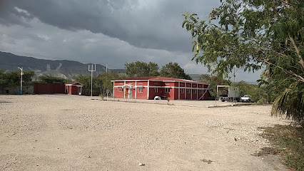
Le Paradis Haïtien
36.3 km
Experience the vibrant culture and breathtaking beauty of Haiti with personalized tours at Le Paradis Haïtien, your gateway to unforgettable adventures.

Unmissable attractions to see
Etang Pernelé
5.9 km
Experience the serene beauty of Etang Pernelé, a tranquil lake in Sentiment, Haiti, perfect for relaxation and nature exploration.

Woodson gerimaire
5.9 km
Explore Woodson Gerimaire: A vibrant tourist attraction in Durocher, Haiti, showcasing rich culture and stunning landscapes.

geïxha
5.9 km
Explore the enchanting beauty and cultural richness of geïxha, a must-visit tourist attraction in Durocher, offering unforgettable experiences.

Baz JPP
5.9 km
Experience vibrant local culture and authentic Haitian life at Baz JPP, a captivating tourist attraction in Durocher.

Bois Verna
5.9 km
Immerse yourself in the vibrant culture and rich heritage of Bois Verna, a must-visit neighborhood in Durocher, Haiti.

PODP
5.9 km
Explore PODP in Durocher, Haiti: A Unique Tourist Attraction Offering Vibrant Culture, Scenic Landscapes, and Authentic Local Experiences.

Centre Culturel et Touristique de Saut D'eau
12.0 km
Experience the vibrant culture and artistic spirit of Haiti at the Centre Culturel et Touristique de Saut D'eau, a must-visit destination for cultural enthusiasts.
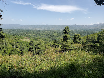
Chutes de Saut d'Eau, Centre, Haiti
12.4 km
Experience the breathtaking beauty of Chutes de Saut d'Eau, a stunning waterfall in Haiti, where nature's splendor meets rich cultural heritage.
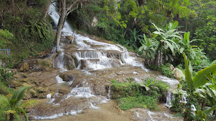
Saut d'eau centre haiti
13.5 km
Experience the breathtaking beauty of Saut d'Eau, Haiti, where stunning waterfalls and vibrant culture meet in a natural paradise.

Fond blanc
16.1 km
Explore the stunning natural beauty of Fond Blanc, a tranquil oasis in Haiti perfect for relaxation and adventure amidst picturesque landscapes.
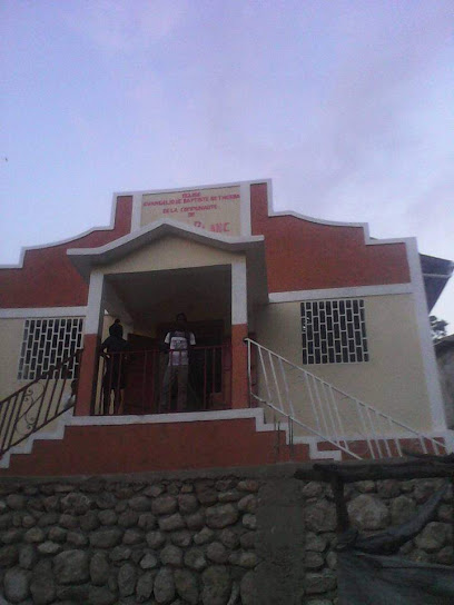
Cayes
19.0 km
Explore the stunning coastal beauty and vibrant culture of Cayes, a must-visit tourist attraction in Lilette, Haiti, for an unforgettable experience.

Koudgòj
24.5 km
Explore Koudgòj: A breathtaking tourist attraction in Fer A Cheval, showcasing Haiti's stunning landscapes and vibrant culture.
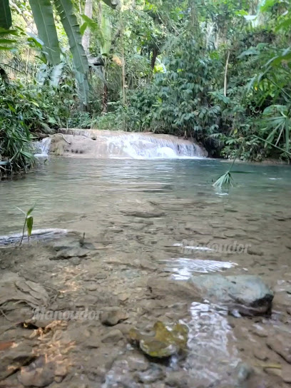
Pisin kabaré
25.1 km
Explore the captivating Pisin Kabaré in Haiti, where local culture meets stunning landscapes for an unforgettable travel experience.

Place Publique De Cabaret
26.2 km
Experience the tranquility and local charm of Place Publique De Cabaret, a perfect retreat in the heart of Cabaret, Haiti.
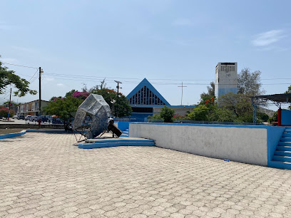
Pintro
32.1 km
Explore Pintro in Port-au-Prince, where vibrant culture meets stunning artistry and authentic Haitian experiences await every traveler.

Essential places to dine
Le Zandou Bar&Grill
4.8 km
Discover the essence of Haiti through delicious cuisine at Le Zandou Bar&Grill in Trois Platon.

B&F transfòmasyon
5.5 km
Experience authentic Korean cuisine at B&F transfòmasyon in Saint Jean du Sud – where flavor meets tradition.

Dane's Bar & Grill
5.9 km
Experience authentic Haitian cuisine at Dane's Bar & Grill in Plaine-du-Nord - where flavor meets hospitality.

Chez la joie
5.9 km
Experience authentic Haitian cuisine at Chez la joie in Durocher—where every meal is a celebration of flavor and culture.

Restaurant Amore Mio
5.9 km
Discover the authentic tastes of Haiti at Restaurant Amore Mio in Durocher – where every meal is crafted with passion and fresh local ingredients.

Limanes
5.9 km
Experience authentic Haitian cuisine at Limanes in Durocher - where every meal is a celebration of local flavors.

Henry Mykelson Nantiyo
5.9 km
Savor authentic Haitian flavors at Henry Mykelson Nantiyo in Durocher—where tradition meets taste in every delicious bite.

Coin 22 Restaurant & More
5.9 km
Discover authentic Haitian cuisine at Coin 22 Restaurant & More in Durocher - a must-visit culinary destination for every traveler.

Holguín
5.9 km
Experience authentic Haitian cuisine at Holguín in Durocher – where every dish tells a story.

Le Capotillan Bar Resto
5.9 km
Experience authentic Haitian cuisine at Le Capotillan Bar Resto in Durocher, where flavor meets culture in every dish.

Silo
5.9 km
Experience the rich culinary heritage of Haiti at Silo Buffet Restaurant in Durocher - where flavor meets tradition.

Global Universel Bar Resto and Hotel
5.9 km
Discover authentic Haitian cuisine at Global Universel Bar Resto and Hotel in Durocher - where flavor meets hospitality.
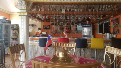
Majestic Corner
10.4 km
Experience authentic Haitian cuisine at Majestic Corner - where local flavors meet vibrant culture in an inviting atmosphere.

Saveur Creole Resto
14.6 km
Discover authentic Haitian cuisine at Saveur Creole Resto in Desarmes – a delightful culinary journey awaits every visitor.

Vivie barbecue
15.5 km
Experience authentic Haitian barbecue at Vivie Barbecue in Desarmes - where every bite tells a story.

Markets, malls and hidden boutiques
CACIQUE Store
5.3 km
Experience the vibrant culture of Haiti at CACIQUE Store, your go-to destination for youth fashion, electronics, and local delicacies.

Valery Sylvain
5.6 km
Explore Valery Sylvain, a vibrant t-shirt store in Durocher, showcasing local artistry through unique designs that capture the spirit of Haiti.

LERO MULTI SERVICES
5.9 km
Discover local technology and electronics at LERO MULTI SERVICES in Durocher, a must-visit for tech lovers and travelers alike.

Hii
5.9 km
Explore Hii in Durocher for authentic Haitian crafts, local spices, and a unique shopping experience reflecting the vibrant culture of Haiti.

rozanbè
5.9 km
Explore Rozanbè in Durocher for unique Haitian gifts and crafts that embody the spirit of the islands.

Kay Manie Boutique
5.9 km
Explore the vibrant flavors of Haiti at Kay Manie Boutique, the ultimate grocery store for authentic local products and fresh produce.

Lorizon haiti
5.9 km
Experience the lively atmosphere of Lorizon Market in Durocher, Haiti, where local culture, crafts, and cuisine come together in a vibrant setting.

KAY TITONN / KFOU PUITS-SALES
5.9 km
Explore KAY TITONN / KFOU PUITS-SALES in Durocher, a vibrant store showcasing local crafts and the rich culture of Aquin, Haiti.

delmas 33
5.9 km
Discover the vibrant spirit of Haiti at Delmas 33, a captivating gift shop filled with unique local crafts and cultural treasures.

LESANON STORE
5.9 km
Explore exquisite jewelry and local craftsmanship at Lesanon Store, a hidden gem in Petit Ville, Haiti.

Espion Boutique
5.9 km
Explore the artistic spirit of Haiti at Espion Boutique in Cabaret, where unique fashion meets local culture.

Petit port a piment
5.9 km
Explore the vibrant local culture at Petit Port à Piment, a charming store in Durocher offering authentic Haitian goods and a warm shopping experience.

Mimose Compère
5.9 km
Explore the vibrant offerings of Mimose Compère in Durocher, where local culture meets unique shopping experiences.

Super marché
5.9 km
Explore Durocher's Jewelry Store for exquisite pieces that capture the essence of Haitian craftsmanship and culture.

Haiti au cap
5.9 km
Discover the vibrant culture of Durocher at Haiti au Cap, where local crafts, artistry, and rich traditions come to life in an unforgettable shopping experience.

Essential bars & hidden hideouts
Point Bar
5.5 km
Discover the lively atmosphere at Point Bar in Durocher, where refreshing drinks and local culture come together in a vibrant setting.

BM vibe Bar
5.9 km
Discover the heart of Hinche at BM Vibe Bar, where local music and refreshing drinks create an unforgettable Caribbean experience.

The Best Barber Shop
5.9 km
Experience local culture and exceptional grooming at The Best Barber Shop in entrée saint gerard, a vibrant hub for relaxation and camaraderie.

Chez Kino Bar
5.9 km
Discover the vibrant atmosphere and delectable drinks at Chez Kino Bar, a top spot for nightlife in Durocher, Haiti.

Mirebalais
5.9 km
Experience the vibrant nightlife and rich culture of Mirebalais, a charming town in Haiti that's perfect for socializing and exploration.

Martissan 2
5.9 km
Discover the heart of Durocher's nightlife at Martissan 2, where vibrant drinks and lively atmosphere meet Haitian hospitality.

Rue berne lalue
5.9 km
Discover the vibrant spirit of Durocher at Rue Berne Lalue, a lively bar offering an authentic taste of Haitian nightlife and culture.

Bon boche
5.9 km
Experience the vibrant nightlife at Bon Boche, a lively bar in Durocher offering local drinks and a welcoming atmosphere for all.

Tabare
5.9 km
Discover the lively spirit of Durocher at Tabare, a premier bar offering an authentic taste of Haitian nightlife with vibrant atmosphere and delightful drinks.

Você Você me
5.9 km
Discover the lively ambiance and local flavors at Você Você me, a vibrant bar in the heart of Durocher, Haiti.

مسقط
5.9 km
Experience the heart of Durocher's nightlife at مسقط, a vibrant bar offering a unique mix of local culture, drinks, and entertainment.

Place de la reine
5.9 km
Experience the lively atmosphere and local culture at Place de la Reine, the perfect bar in Durocher for tourists to unwind and connect.

DJM BAR RESTO INN
5.9 km
DJM Bar Resto Inn in LAhoye: A lively bar experience with local charm, perfect for relaxing and enjoying drinks amid vibrant culture.
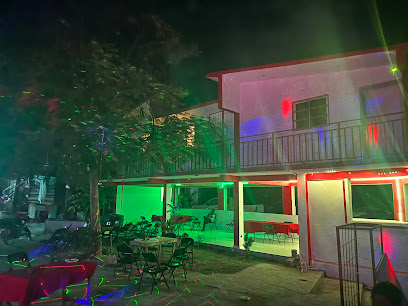
Rendez-vous lakay
5.9 km
Experience the vibrant culture of Haiti at Rendez-vous Lakay, where refreshing drinks and warm hospitality await in Durocher.

Finesse Bar - Restaurant
5.9 km
Experience the vibrant nightlife at Finesse Bar, where delicious cuisine meets a lively atmosphere in Durocher, Haiti.

Nightclubs & after hour spots
Dave Haïti
5.9 km
Discover the Best of Haitian Nightlife at Dave Haïti, Durocher's Premier Cabaret Club Featuring Vibrant Performances and Authentic Cuisine.

Hollywood Night Club Frans
25.8 km
Discover the vibrant nightlife of Verrettes at Hollywood Night Club Frans, where music and dance create unforgettable experiences.

Le Privé Night Club
31.1 km
Discover the heart of Petite Rivière de l'Artibonite's nightlife at Le Privé Night Club, where music, dance, and vibrant culture collide for an unforgettable experience.
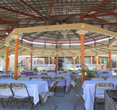
OLympia Night Club
32.9 km
Discover Port-au-Prince's nightlife at Olympia Night Club, where vibrant music and dancing create an unforgettable experience.

Suspense Night Club
34.7 km
Dive into the electrifying nightlife of Thomazeau at Suspense Night Club, where music, dance, and vibrant energy await you!
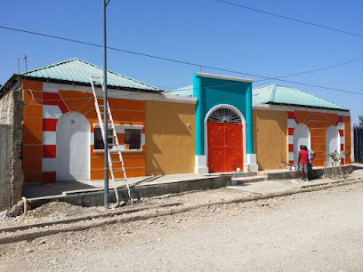
Chateau Noir Night club
36.0 km
Discover the vibrant nightlife at Chateau Noir Night Club in Hinche, Haiti, where music, dance, and local culture come alive every night.

Le Manguier
36.4 km
Discover the vibrant nightlife of Haiti at Le Manguier disco club in Hinche, where music, dancing, and local culture come alive.
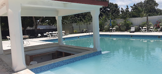
HAÏTI- CROIX- DES-BOUQUETS
36.6 km
Discover the vibrant nightlife of Croix-des-Bouquets, where music, dance, and culture come alive in the heart of Haiti.
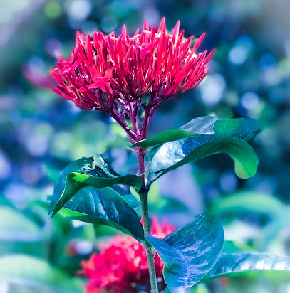
Olimpia Night Clubs
36.8 km
Explore the vibrant nightlife of Port-au-Prince at Olimpia Night Clubs, where music and culture come alive in an unforgettable atmosphere.
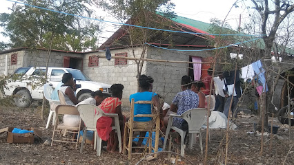
Distinction Night Club
37.0 km
Discover the heartbeat of Port-au-Prince's nightlife at Distinction Night Club, where vibrant music and energetic dance await every night.
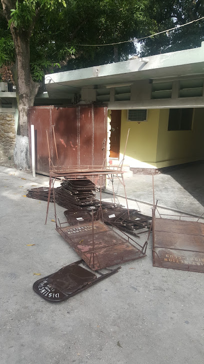
Kingdom recepciones
38.9 km
Discover the heartbeat of Port-au-Prince's nightlife at Kingdom Recepciones, where music and culture come alive in an unforgettable experience.

MXproductions
39.3 km
Capture your unforgettable moments with MXproductions, the premier wedding and commercial photography studio in Port-au-Prince, Haiti.

Souvenir Bar
40.4 km
Unleash your spirit at Souvenir Bar, a vibrant night club in Port-au-Prince known for its lively atmosphere, local cuisine, and unforgettable music.

Exagone
40.4 km
Experience the vibrant nightlife of Port-au-Prince at Exagone, where music and dance come alive in a stylish setting.
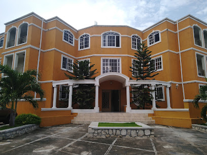
Blue Bar & Club
40.5 km
Dive into Port-au-Prince's vibrant nightlife at Blue Bar & Club, where music, dance, and culture collide for an unforgettable experience.


